The best road cycling routes around Maple Heights
4.8
(9)
550
riders
35
rides
Road cycling around Maple Heights benefits from its strategic location, offering access to extensive regional trail networks and local green spaces. The area is characterized by its proximity to the Cleveland Metroparks and Cuyahoga Valley National Park, providing diverse landscapes for cyclists. These networks feature well-maintained paved trails, often traversing hilly terrain, dense forests, and offering views of creeks and canal paths.
Best road cycling routes around Maple Heights
- The most popular road cycling route is Lock 39, Ohio &…
Last updated: July 12, 2026
5.0
(2)
103
riders
Moderate road ride. Good fitness required. Mostly well-paved surfaces and easy to ride.
5.0
(1)
12
riders
33.3km
01:33
300m
300m
Moderate road ride. Good fitness required. Some segments of this route may be unpaved and difficult to ride.

Sign up for free
22
riders
27.7km
01:27
180m
180m
Easy road ride. Great for any fitness level. Mostly well-paved surfaces and easy to ride.
16
riders
Moderate road ride. Good fitness required. Mostly well-paved surfaces and easy to ride.
8
riders
11.3km
00:29
90m
90m
Easy road ride. Great for any fitness level. Mostly well-paved surfaces and easy to ride.
Get access to more routes and recommendations from other explorers.
Sign up for free
Already have an account?
Our route recommendations are based on thousands of hikes, rides, and runs completed by other people on komoot.
Start today with a free account
Your next adventure awaits.
Login or Signup



Tips from the Community

From this trailhead you can access several miles of mountain biking trails. The main trail, Lamb Loop runs about 5 miles with some fun curves and mixed terrain. There are a couple other connector trails offering shorter loops or different terrain as well.
0
0

The Exploration Center is well worth a visit if you are venturing out on the O&E Towpath. The center is small, but holds a lot of history from mid-19th century America. There are restrooms at the trailhead which remain open, even when the center is closed.
0
0
The now-overgrown lock was once an integral part of the Ohio & Erie Canal. A sign by on the towpath tells the history of the old lock.
0
0
A small parking area grants access to the Mars Quarry Trail. There are some rocky sections, but for the most part this is an easy offroad singletrack which leads you further into the trail network of Bedford Reservation.
0
0
There is a small parking lot here which grants access to the Bedford Reservation mountain biking trails. You have a range of trails to choose from, some of which feature lots of roots and rocks, and others which make for easier riding.
0
0

This 147-acre packs a lot of fun and beauty, given its size: It has about 9,000 feet of shoreline, dog beaches, swimming beaches, a fishing pier, picnic facilities and a boat launch.
0
0

Very nice place for souvenir photos
0
0

The Frazee House, or the Stephen Frazee House, is a historic building constructed between 1825 and 1826. It is one of the oldest surviving buildings in the Cuyahoga Valley. Visitors to Cuyahoga Valley National Park can explore the house's exterior and learn about its history through informational signage located around it.
2
0
Frequently Asked Questions
What kind of terrain can I expect on road cycling routes around Maple Heights?
Road cycling around Maple Heights offers a variety of terrain, from the hilly sections and forests of the Bedford Reservation All Purpose Trail to the more moderate and scenic canal paths of the Ohio & Erie Canal. While some routes feature significant elevation changes, others, like sections of the Maple Highlands Trail, are known for being smooth and relatively flat.
Are there easy road cycling routes suitable for beginners in Maple Heights?
Yes, the Maple Heights area offers a good selection of routes suitable for beginners. There are 14 easy road cycling routes available, providing gentler options for those new to road cycling or looking for a more relaxed ride. These routes often follow well-maintained paved trails.
Where can I find scenic viewpoints or natural landmarks along the road cycling routes?
Many routes offer access to scenic viewpoints and natural landmarks. The Tinker's Creek Gorge Scenic Overlook is a notable natural landmark that can be incorporated into longer rides. Additionally, routes through the Bedford Reservation provide views of Tinker's Creek, and the Ohio & Erie Canal Towpath Trail offers diverse scenery along the canal.
Are there any waterfalls I can see while road cycling near Maple Heights?
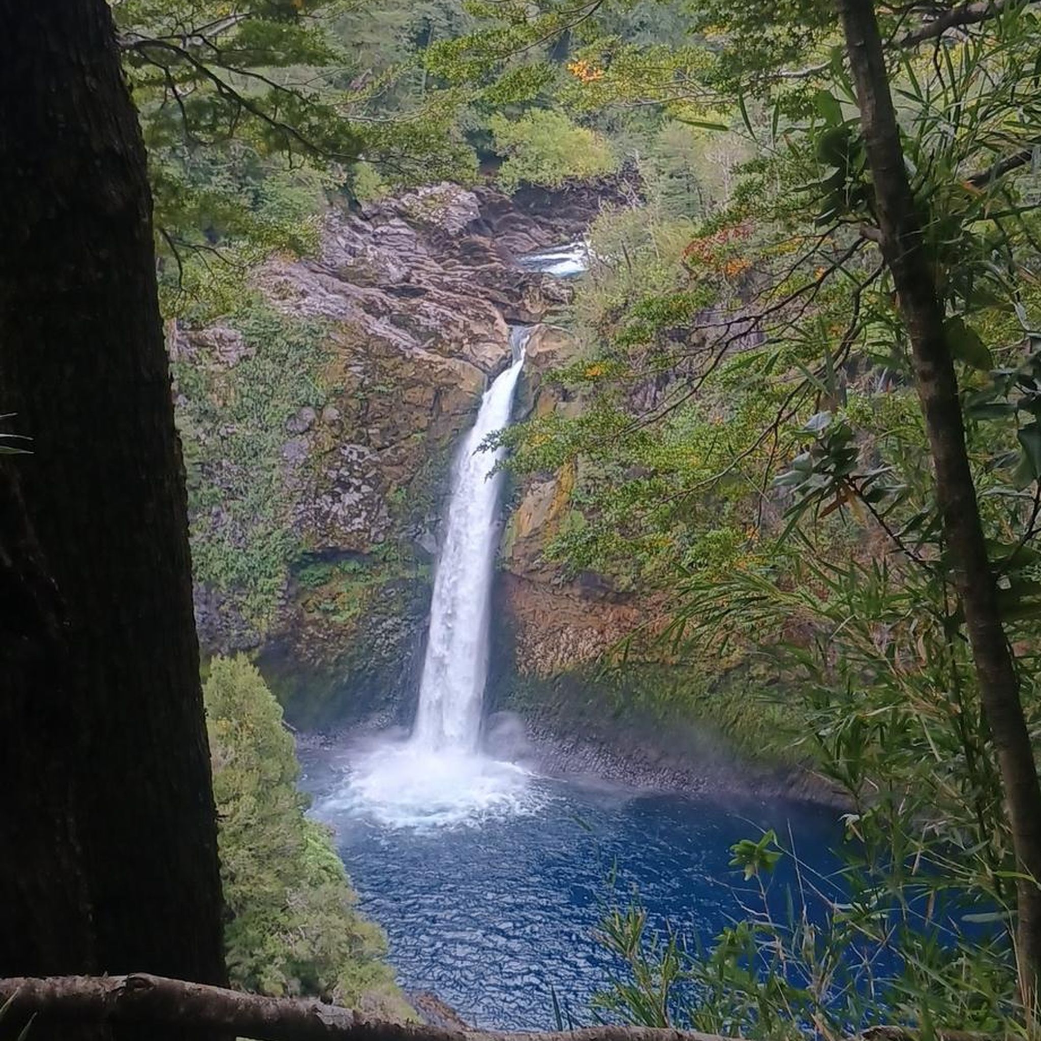
Yes, you can encounter beautiful waterfalls on some routes. The Bedford Reservation – Bridal Veil Falls loop from Walton Hills specifically highlights Bridal Veil Falls. Another nearby waterfall is Linda Falls, offering additional natural beauty to explore.
Are the road cycling routes around Maple Heights typically loop trails?
Many of the road cycling routes around Maple Heights are designed as loops, offering convenient starting and ending points. For example, the popular Lock 39, Ohio & Erie Canal – Wendy Park loop from Canal Exploration Center and the John Brown Tannery Park – Darrow Lake loop from Canal Exploration Center are both excellent circular options.
What are some of the longer road cycling routes available from Maple Heights?
For longer rides, you can explore routes like the John Brown Tannery Park – Darrow Lake loop from Canal Exploration Center, which spans 51.2 miles (82.4 km). Another substantial option is the Coe Lake and Fountain – Berea Falls Scenic Overlook loop from Canal Exploration Center, covering 49.1 miles (79.0 km).
What do other cyclists say about road cycling in Maple Heights?
The road cycling routes around Maple Heights are highly rated by the komoot community, with an average score of 4.9 stars from 7 reviews. Cyclists often praise the varied terrain, scenic canal paths, and the well-maintained regional trail networks that make for enjoyable rides.
Are there family-friendly road cycling options in the Maple Heights area?
Yes, the region offers family-friendly road cycling options, particularly on the easier routes and within local parks. The paved loop trail at Dunham Park in Maple Heights provides a smooth surface suitable for families. Additionally, sections of the Ohio & Erie Canal Towpath Trail, while some are compacted dirt, offer moderate and scenic rides that can be enjoyed by families.
Can I access regional trail networks directly from Maple Heights for road cycling?
Maple Heights' strategic location provides excellent access to extensive regional trail networks. The Ohio & Erie Canal Towpath Trail and the Bedford Reservation All Purpose Trail are easily accessible, offering connections to vast networks within the Cleveland Metroparks and Cuyahoga Valley National Park.
Are there historical sites or points of interest along the road cycling routes?
Yes, several routes pass by or provide access to historical sites. The Canal Exploration Center, Cuyahoga Valley National Park, is a significant historical site along the Ohio & Erie Canal Towpath Trail, offering insights into the region's past. The Frazee House is another historical point of interest nearby.
What is the best time of year for road cycling in Maple Heights, Ohio?
While specific seasonal advice isn't detailed, the region's diverse landscapes are enjoyable across multiple seasons. Spring and fall generally offer pleasant temperatures and vibrant scenery, making them ideal for road cycling. Summer provides longer daylight hours, though it can be warmer. Winter cycling is possible but may require consideration for conditions like snow and ice on trails.
Are there options for longer, more challenging road cycling routes near Maple Heights?
For cyclists seeking more challenging rides, the area offers several moderate routes, with 31 available options. These often feature more significant elevation gains, such as the Bedford Reservation – Bridal Veil Falls loop from Walton Hills, which includes hilly terrain through forests. The longer loop routes also provide extended distances for endurance training.
Most popular routes around Maple Heights
Most popular attractions around Maple Heights

Get inspired with the komoot mobile app


Explore more
Browse the best Road cycling routes in other regions.
