The best road cycling routes around Cuyahoga Heights
4.7
(45)
1,462
riders
61
rides
Road cycling around Cuyahoga Heights features a landscape shaped by the Cuyahoga River valley and the historic Ohio & Erie Canalway. The region offers extensive paved paths, including the largely flat Ohio & Erie Canal Towpath Trail, which winds through diverse natural areas and former industrial sites. Cyclists encounter a mix of riverine environments, forests, and open fields, with gentle elevation changes. The area provides accessible routes for various skill levels, connecting to broader trail networks like the Cleveland Metroparks…
Last updated: July 15, 2026
2
riders
67.4km
04:15
400m
400m
Moderate road ride. Good fitness required. Some segments of this route may be unpaved and difficult to ride.
5.0
(3)
90
riders
Easy road ride. Great for any fitness level. Mostly well-paved surfaces and easy to ride.

Sign up for free
57
riders
Moderate road ride. Good fitness required. Some segments of this route may be unpaved and difficult to ride.
5.0
(2)
104
riders
Moderate road ride. Good fitness required. Mostly well-paved surfaces and easy to ride.
47
riders
Hard road ride. Very good fitness required. Some segments of this route may be unpaved and difficult to ride.
Get access to more routes and recommendations from other explorers.
Sign up for free
Already have an account?
Our route recommendations are based on thousands of hikes, rides, and runs completed by other people on komoot.
Start today with a free account
Your next adventure awaits.
Login or Signup

Tips from the Community

The Exploration Center is well worth a visit if you are venturing out on the O&E Towpath. The center is small, but holds a lot of history from mid-19th century America. There are restrooms at the trailhead which remain open, even when the center is closed.
0
0
The now-overgrown lock was once an integral part of the Ohio & Erie Canal. A sign by on the towpath tells the history of the old lock.
0
0

Cuyahoga Valley National Park sits between the cities of Cleveland and Akron along the Cuyahoga River. The park consists of 33,000 acres of deep forests, waterfalls, rolling hills, and farmland.
0
0

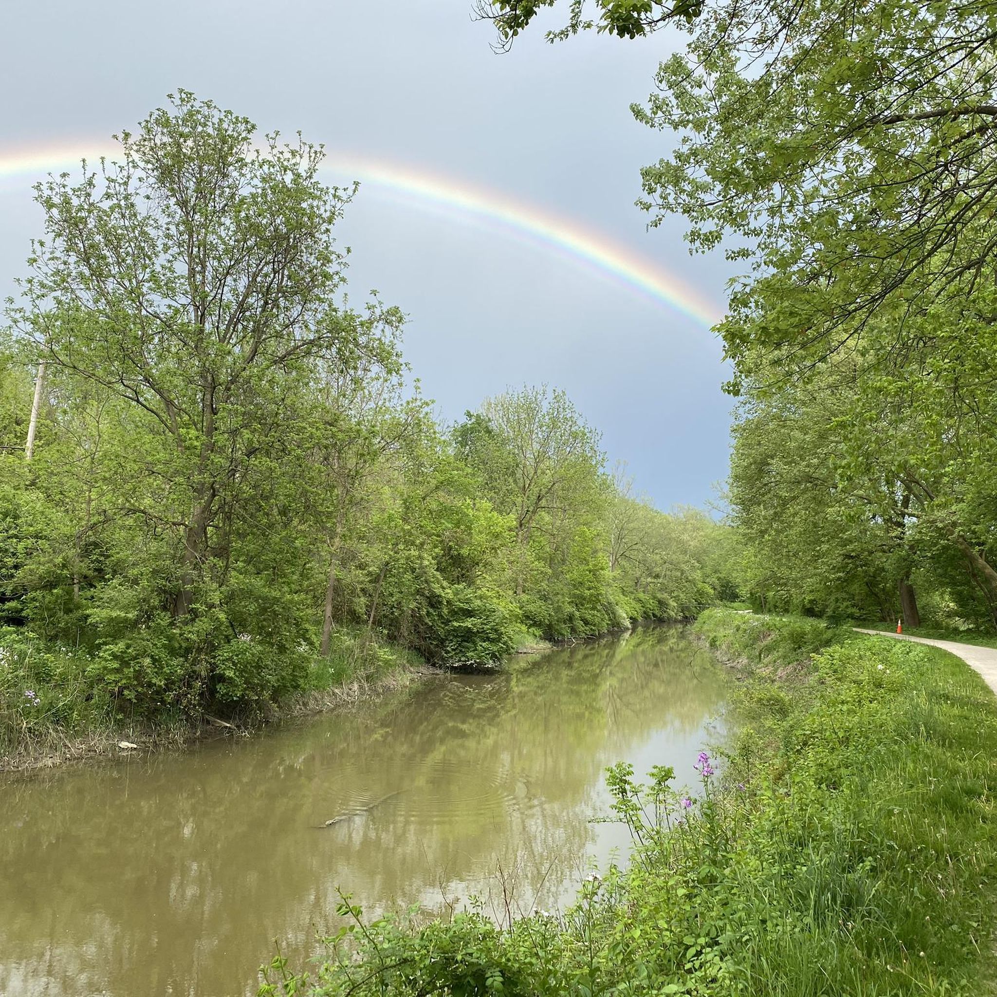
The Ohio & Erie Canal Reservation is a 4.4 mile long nature preserve along the Cuyahoga River. The Ohio & Erie Canal Towpath Trail runs through the park, so you get a great look at the beautiful green area.
0
0

From 1827 to 1913, this path was used for mules to pull canal boats with passengers along the Ohio & Erie Canal. The trail follows the path as closely as possible, with plenty of trails and areas to explore.
1
0

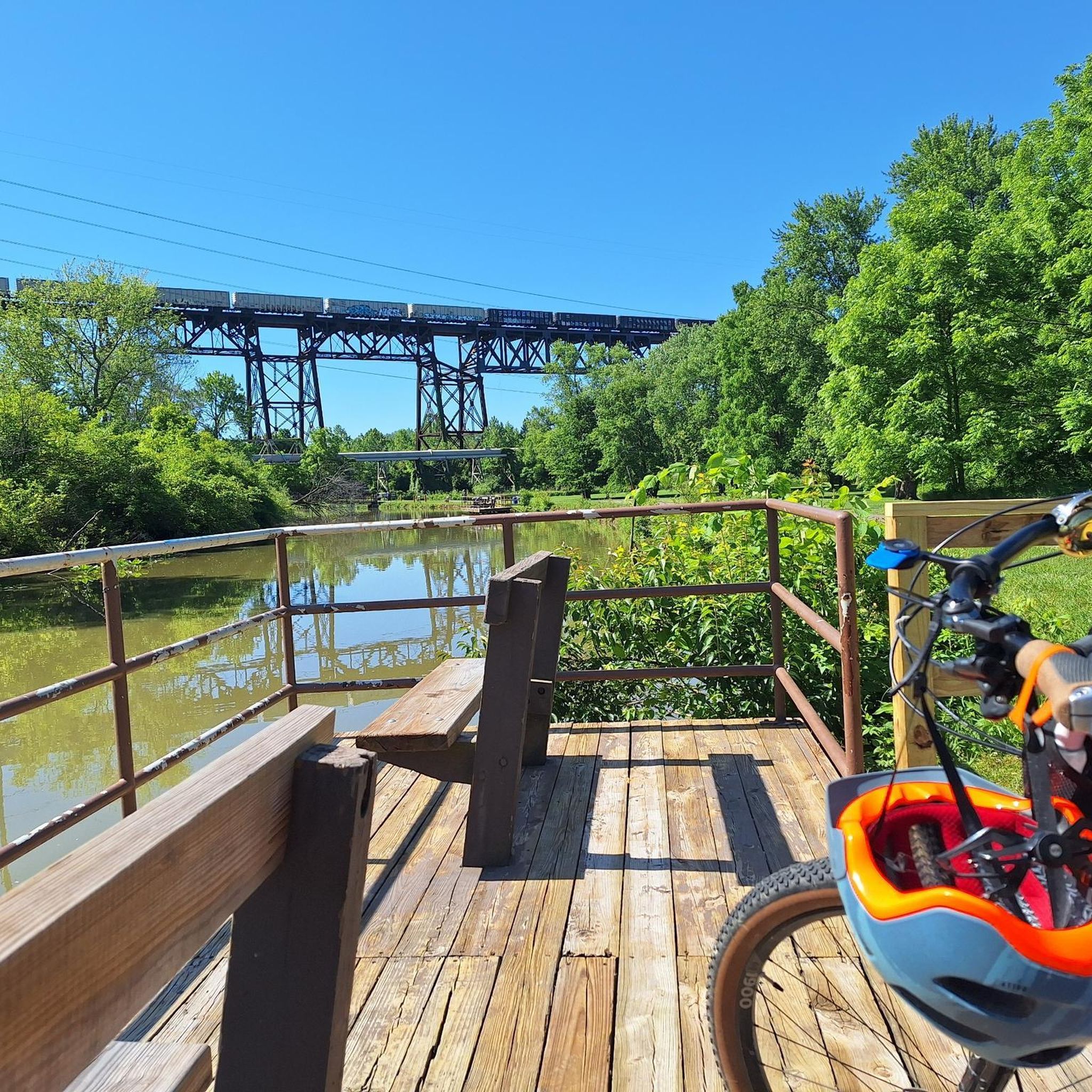
Enjoy the scenic rail bridge spanning the East Branch of the Rock River. The Rocky River, recognized by Field & Stream as a premier steelhead trout river, is the highlight of the Rocky River Reservation. This picturesque spot offers a peaceful setting and a prime location for fishing enthusiasts.
0
0

Although the path has a couple of busy roads to cross. This section of the metroparks between strongsville and Rocky River are some of the best multi-use trails you can find. It stays close to the river, so the path is winding. Lots of picnic grounds and restrooms. All paved
0
0
The Ohio and Erie Canal Reservation provides a picturesque overlook of the Cuyahoga River, blending industrial scenery with natural beauty. The mostly paved Towpath Trail allows for hiking, biking, and wildlife observation. Additionally, visitors can fish, explore a nature center, and delve into a National Heritage corridor. This reservation has been reclaimed to support vibrant ecosystems, including wetlands, forests, the canal, and the Cuyahoga River, despite its industrial backdrop.
0
0
Frequently Asked Questions
How many road cycling routes are available around Cuyahoga Heights?
There are over 50 road cycling routes around Cuyahoga Heights, offering a diverse range of experiences. These routes are highly rated by the komoot community, with an average score of 4.6 stars from over 50 reviews.
What kind of terrain can I expect on road cycling routes in this region?
The region's road cycling routes are largely shaped by the Cuyahoga River valley and the historic Ohio & Erie Canalway. You'll find extensive paved paths, including the largely flat Ohio & Erie Canal Towpath Trail, which winds through diverse natural areas, forests, and open fields with gentle elevation changes. Connections to the Cleveland Metroparks All Purpose Trails also offer varied terrain.
Are there any easy road cycling routes suitable for beginners or families?
Yes, many routes are suitable for beginners and families. For instance, the Steelyard Heritage Center – Ohio & Erie Canal Reservation loop from West 65th–Lorain (Eco-Village) is an easy 21.4-mile path offering a blend of urban and natural scenery. The Ohio & Erie Canal Towpath Trail itself is largely flat and well-paved, making it very accessible for all skill levels.
What are some scenic highlights or attractions I can see along the road cycling routes?
Many routes offer scenic views and pass by notable attractions. You can explore the historic Ohio & Erie Canal, visit the Canal Exploration Center for historical context, or enjoy views from the Tinker's Creek Gorge Scenic Overlook. The Cuyahoga Valley National Park, which the Towpath Trail runs through, also features natural wonders like Brandywine Falls and Beaver Marsh.
Are there any long-distance road cycling options near Cuyahoga Heights?
Absolutely. The Ohio & Erie Canal Towpath Trail extends over 101 miles, with a significant portion running through Cuyahoga Valley National Park. For a substantial loop, consider the Cuyahoga County High Point loop via Ohio & Erie Canal Towpath Trail, which is 41.9 miles long and includes sections of the historic Towpath Trail.
Can I access road cycling routes using public transport?
Yes, the region offers public transport options to access the trails. The Cuyahoga Valley Scenic Railroad provides a "Bike-Aboard" service, allowing cyclists to ride one way and take the train back, which is particularly useful for longer excursions on the Towpath Trail.
Are there any circular road cycling routes in the area?
Yes, there are several circular routes. A popular option is the Ohio & Erie Canal Reservation – Steelyard Heritage Center loop from Rockside, a 20.8-mile trail. The Cuyahoga County High Point loop via Ohio & Erie Canal Towpath Trail is another excellent circular route for a longer ride.
What is the best season for road biking around Cuyahoga Heights?
The best seasons for road biking are typically spring, summer, and fall, when the weather is mild and the natural scenery is vibrant. The Towpath Trail and other paved paths are generally well-maintained, but it's always advisable to check local weather conditions, especially during winter months, for potential snow or ice.
Are there places to park at the trailheads for road cycling?
Yes, many trailheads along the Ohio & Erie Canal Towpath Trail and other connected paths offer designated parking areas. For specific parking information, it's recommended to check the official websites for Cuyahoga Valley National Park or Cleveland Metroparks, or local resources like Cuyahoga Heights Recreation.
Can I find cafes or restaurants near the road cycling routes?
Yes, as the routes pass through or near several towns and communities, you'll find various cafes and restaurants. The Towpath Trail, in particular, connects to small towns that offer opportunities for refreshments and meals, making it convenient to plan stops during your ride.
What do other road cyclists enjoy most about road cycling in Cuyahoga Heights?
The area is highly rated by the komoot community, with an average score of 4.6 stars. Reviewers often praise the accessibility and scenic beauty of the Ohio & Erie Canal Towpath Trail, the diverse landscapes within Cuyahoga Valley National Park, and the well-maintained paved paths that cater to various skill levels.
Are there any routes that connect to the Cleveland Metroparks All Purpose Trails?
Yes, the road cycling network around Cuyahoga Heights offers connections to the Cleveland Metroparks All Purpose Trails. These paved trails, including those in Brecksville and Bedford Reservations, allow for extended and varied rides, integrating the natural beauty of the Metroparks with the historic Canalway.
Most popular attractions around Cuyahoga Heights

Get inspired with the komoot mobile app


Explore more
Browse the best Road cycling routes in other regions.
