The 9 Most Amazing Peaks around Weißenohe
Best mountain peaks around Weißenohe are found within the scenic Franconian Switzerland region, characterized by a hilly landscape with numerous notable elevations. The area offers diverse hiking opportunities that provide picturesque views and natural attractions, including unique geological formations and lush forests. These notable landmarks and natural features make Weißenohe a popular destination for outdoor activities.
Best mountain peaks around Weißenohe
- The most popular mountain peaks is Rothenberg Fortress, a historical site that was built from 1729 to circa…
Last updated: July 1, 2026
Rothenberg Fortress
Highlight • Historical Site
Guided tours are only available during the summer …
Translated by Google •
Tip by

Klagemauer Rock Formation
Highlight • Climb
Translated by Google •
Tip by

Sign up now to discover places like this
Get recommendations on the best single tracks, peaks, & plenty of other exciting outdoor places.
Sign up for free
Eberhardsberg summit (534 m)
Highlight • Summit
Translated by Google •
Tip by

Windburg Summit
Highlight • Summit
Translated by Google •
Tip by
Leidstein Summit
Highlight • Summit
Translated by Google •
Tip by

Sign up for free to discover even more peaks around Weißenohe.
Sign up for free
Already have an account?
Start today with a free account
Your next adventure awaits.
Login or Signup
Popular around Weißenohe

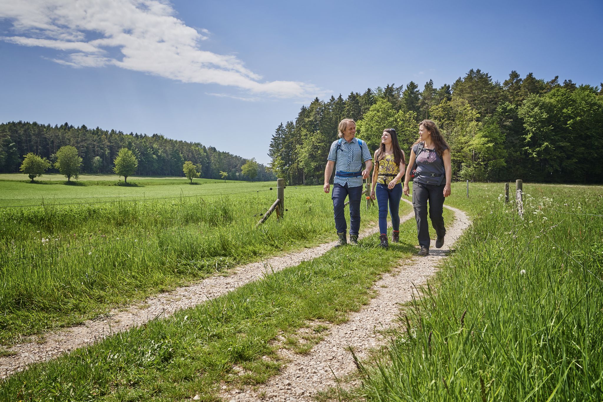
No time for boredom – family hikes with a fun factor in Bayern
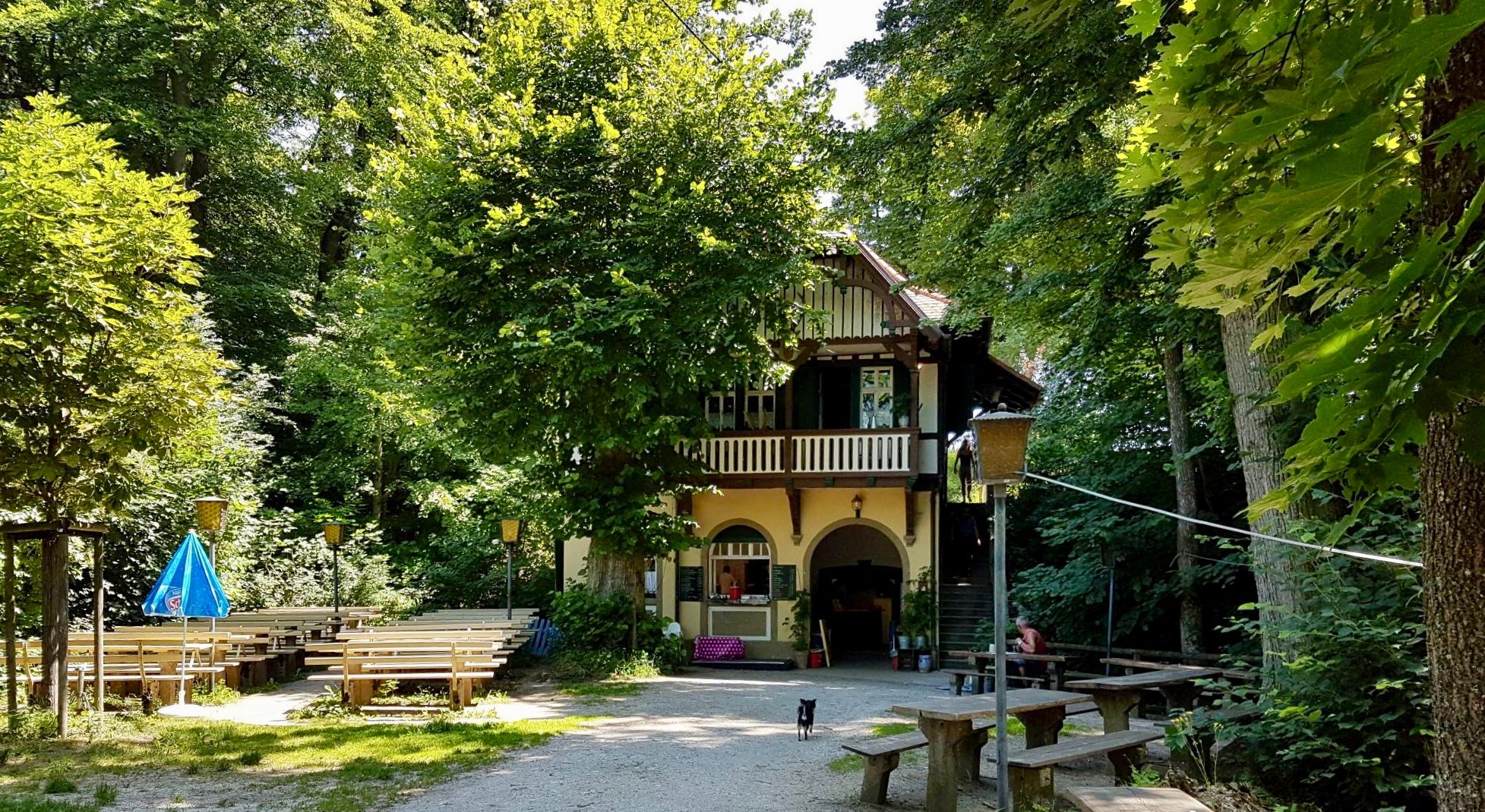
Hops, barley & beer — hiking with VGN leisure tips through Franconia

Hike & Beer in Franconia and Upper Palatinate — the VGN leisure tips
Franconian Switzerland — on the trace of the Purity Law
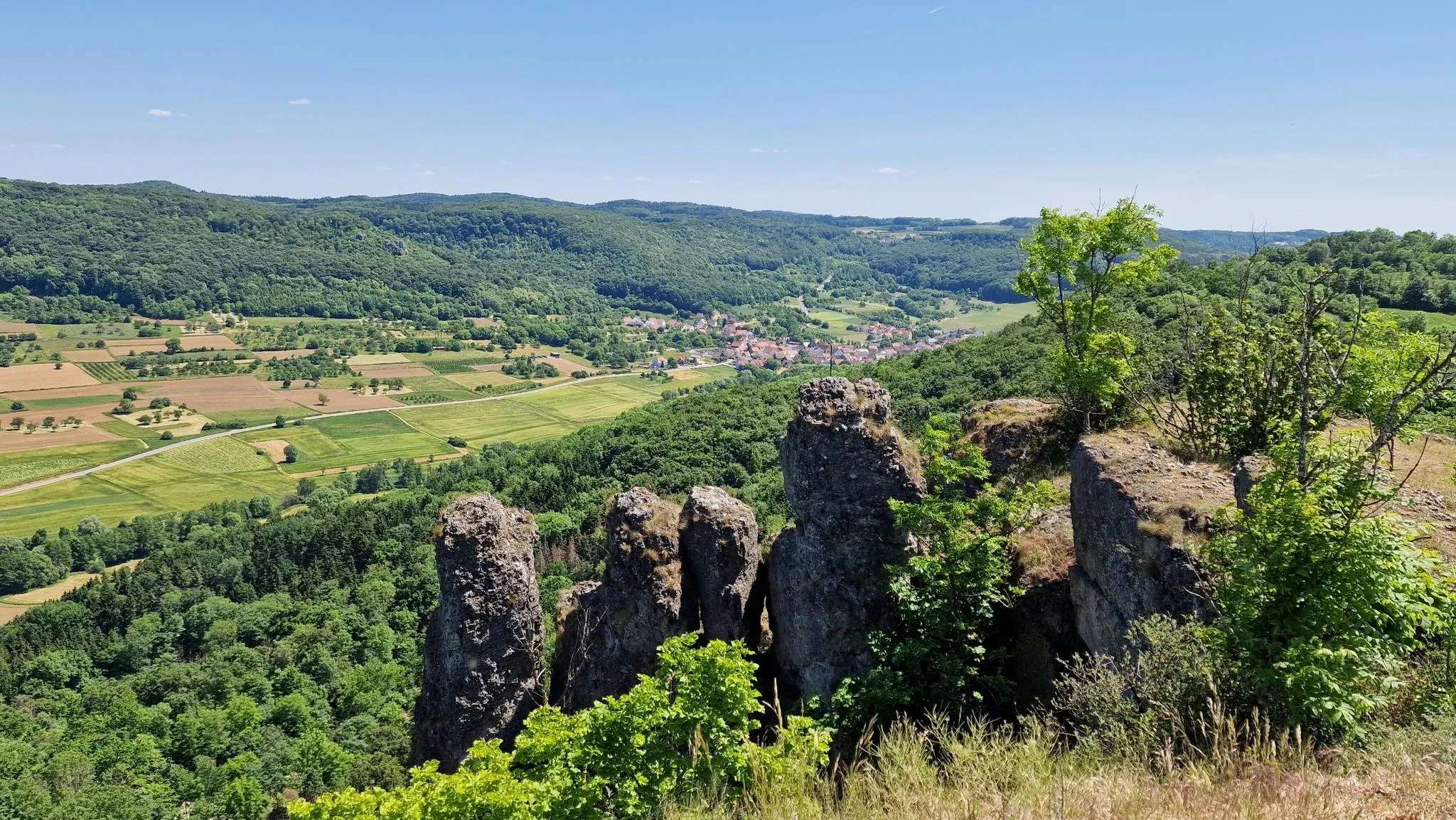
Delightful hiking in Franconian Switzerland
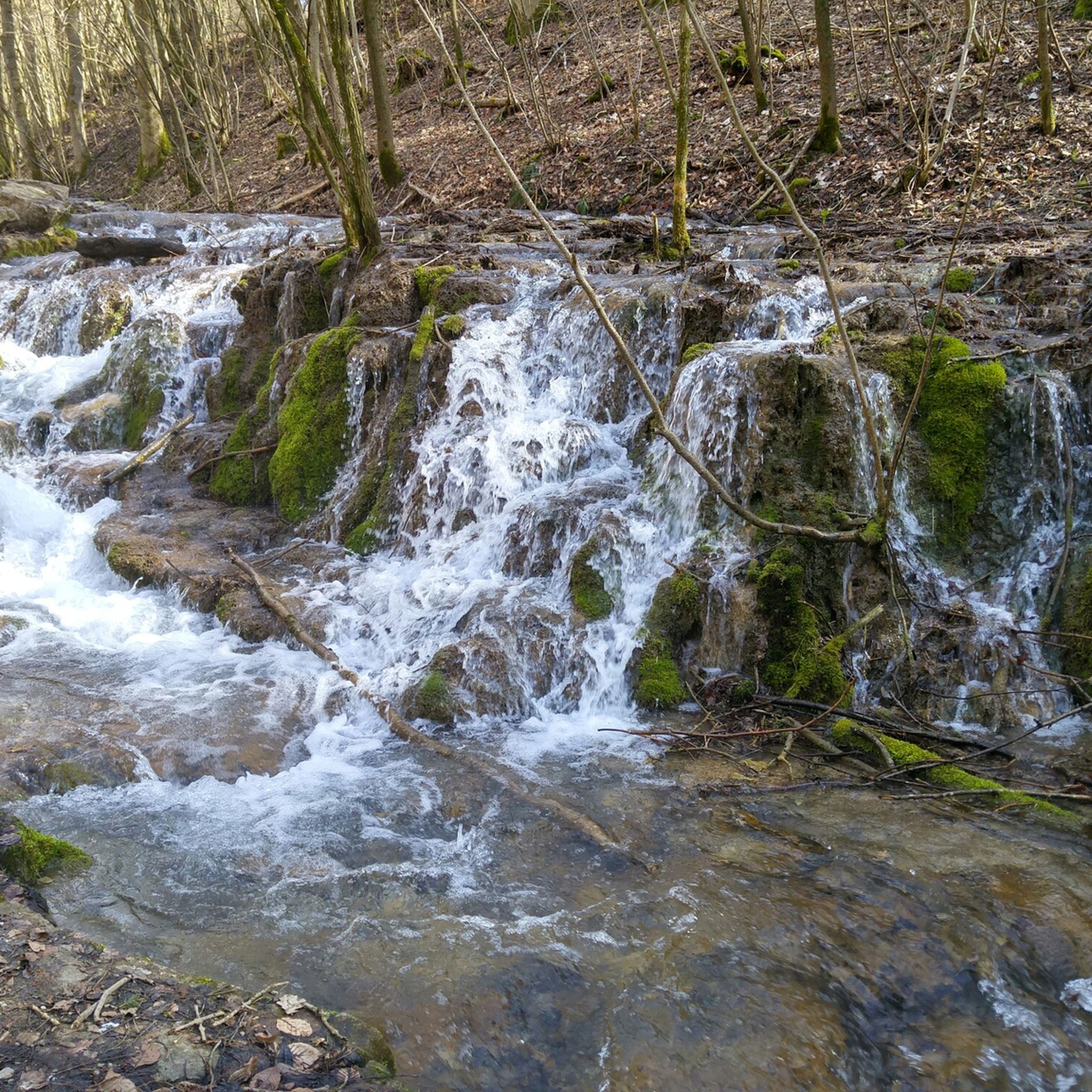
Hiking around Weißenohe
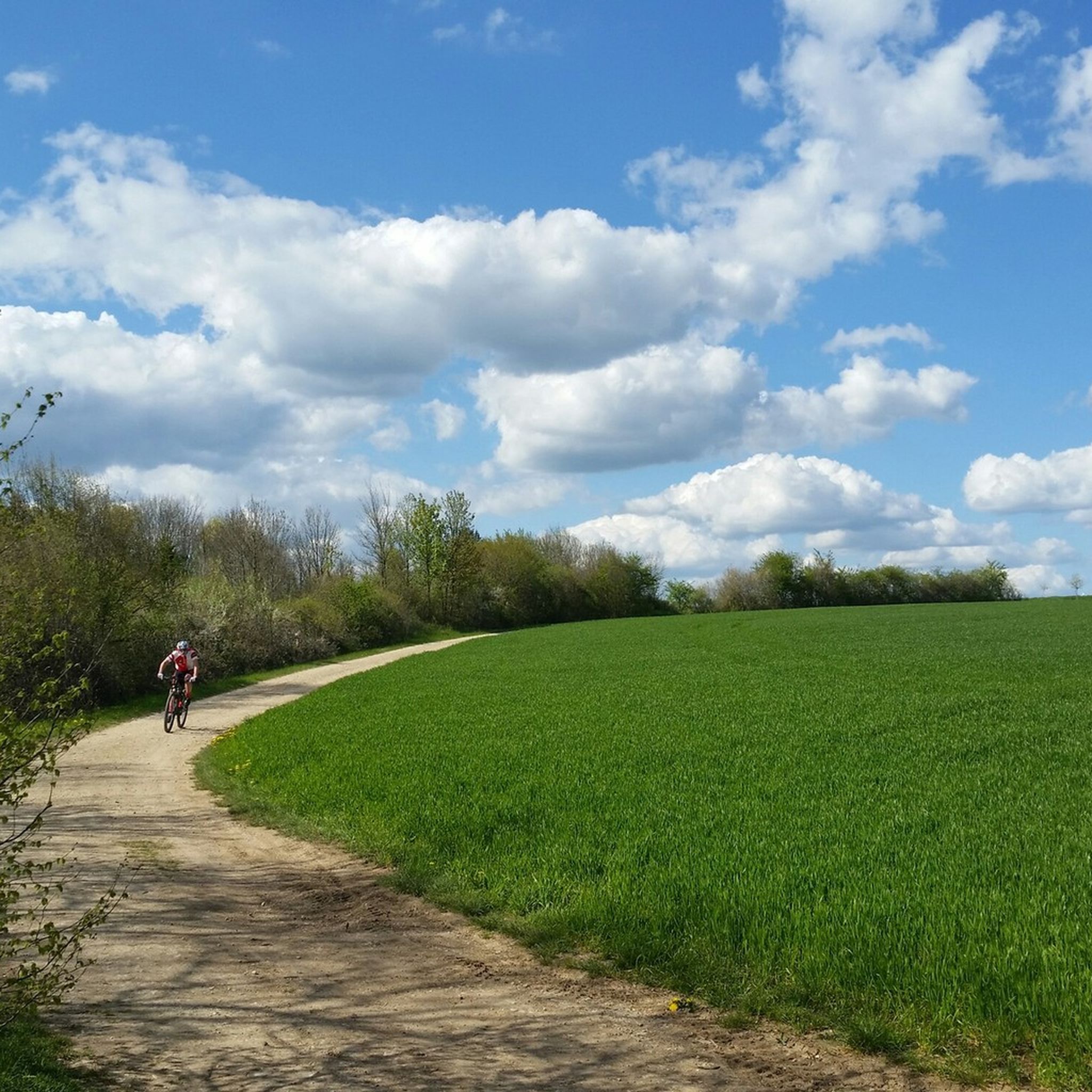
MTB Trails around Weißenohe
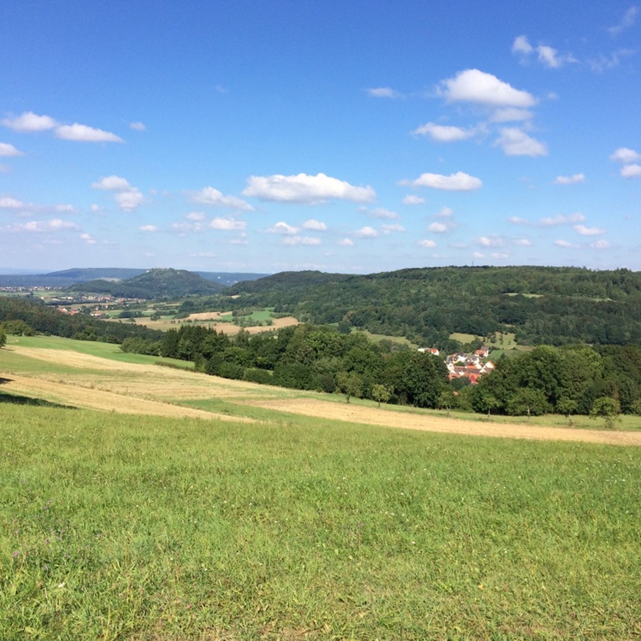
Cycling around Weißenohe
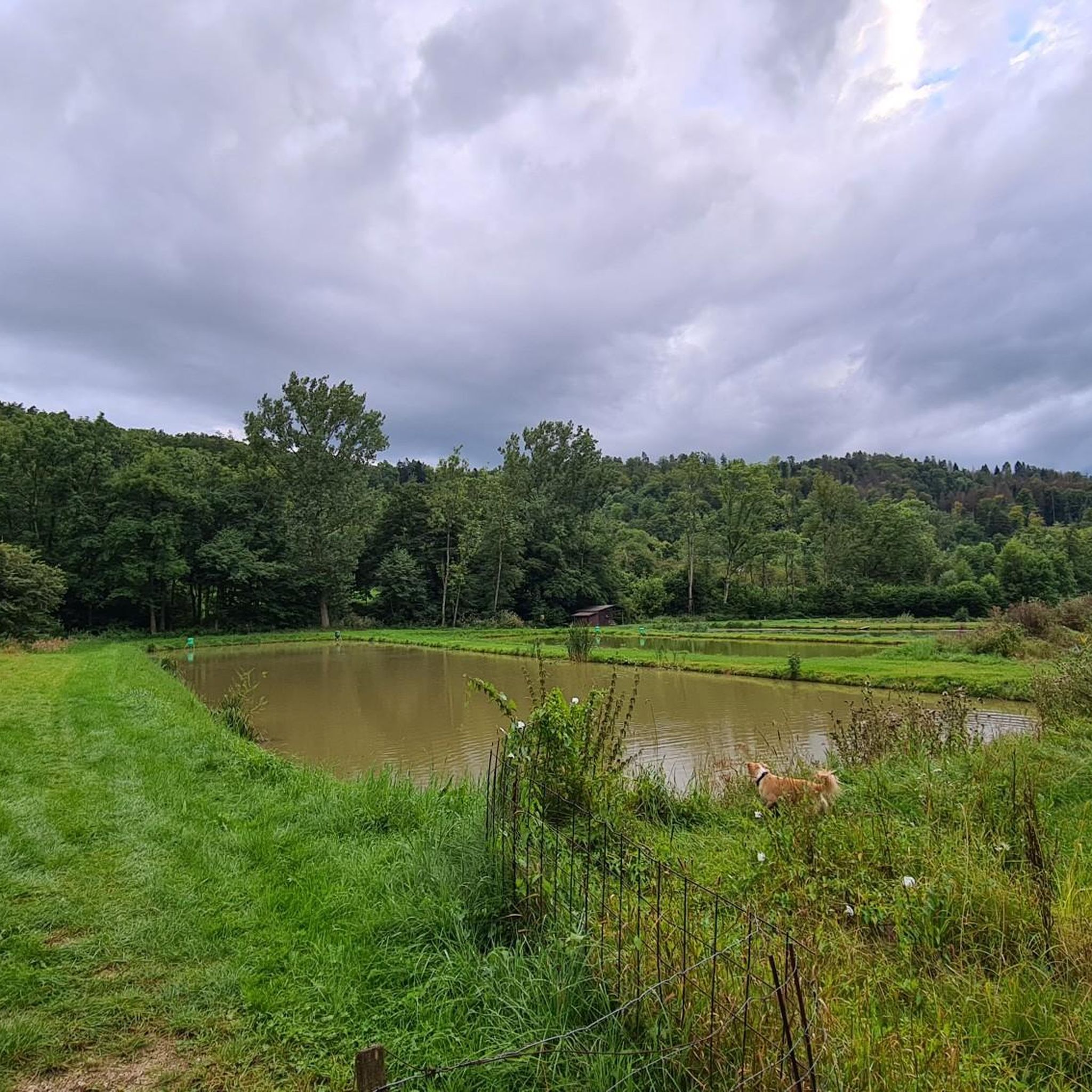
Road Cycling Routes around Weißenohe
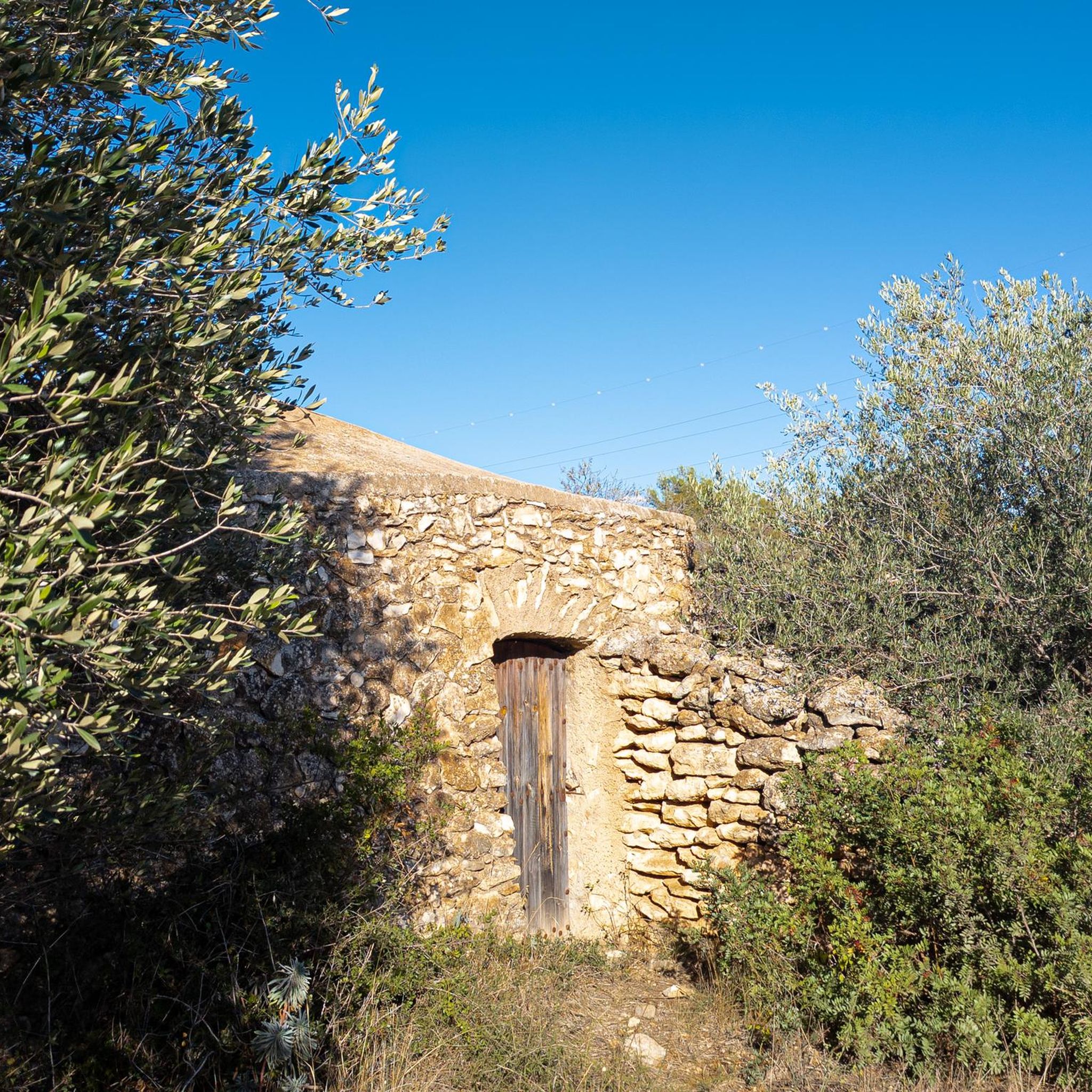
Gravel biking around Weißenohe
Other adventures around Weißenohe


Tips from the Community

The summit of Eberhardsberg at 534 meters. Unfortunately, there's not much of a view. A small sign points to the mountain. Next to it is a nice bench for resting and having a snack.
0
0

The climb is steep but manageable. After all, it's one of the Seven Summits of the Nuremberg region. The view is limited by the trees.
0
0


Climbing rocks in the forest and viewing platform
1
0

For climbers, the name Wailing Wall says it all. Anyone who tries to dig into the tiny holes here can quickly find themselves complaining. The rock is up to seven meters high and is part of the Signal Stone.
10
0

Several short but steep paths run up to the Windburg, a group of rocks. The view is wonderful.
1
0

What an idyllic peak!
0
0

Not so easy, the short detour to Windburg. But the view is phenomenal. The view stretches as far as the Fichtelgebirge! There is a legitimate reason to warn of the risk of falling.
0
0
Frequently Asked Questions
What are some notable historical sites among the elevations around Weißenohe?
The region offers several historical sites. A prominent one is Rothenberg Fortress, a former fortress built between 1729 and 1750, located at about 580 meters altitude. It offers great views and guided tours are available during summer months. Another historical point of interest is Alter Rothenberg Castle Ruins, a former high medieval castle with visible ditches and ramparts, though views can be obscured by trees.
Are there any challenging climbs or difficult trails for experienced hikers near Weißenohe?
Yes, for those seeking a challenge, the Windburg Summit, at 613 meters, offers a beautiful view but requires sure-footedness due to its challenging terrain. Similarly, the Leidstein Summit (600m) is a steep, dolomitic peak that requires sure-footedness and a bit of scrambling. For climbers, the Klagemauer Rock Formation is a traditional bouldering rock, up to 7 meters high, part of the Signalstein, known for its challenging routes.
What kind of natural features can I expect to see when hiking around Weißenohe?
The region is rich in natural beauty. You can explore the unique geological formations of the Lillach Valley, known for its sinter terraces created by calcium-rich water, and the Lillach Spring. The landscape also features lush forests, meadows, and various elevated points that offer panoramic views of the Franconian Switzerland countryside.
What are the best viewpoints in the Weißenohe area?
Several elevated spots offer excellent views. Rothenberg Fortress provides a great view of the surrounding area. The Windburg Summit is known for its beautiful panoramic vistas. Additionally, the Husarensprung near Oberrüsselbach features a viewpoint known as 'Fernblick' (distant view) with a bench for resting, often part of hikes leading to the Lillach Spring.
Are there family-friendly hiking options around Weißenohe?
While specific 'family-friendly' tags aren't always present for individual peaks, the region offers diverse hiking experiences. The Lillach Valley, with its unique sinter terraces, provides an engaging natural attraction suitable for walks. The hike to Burgstall Hainburg is described as an easy trail with a moderate elevation gain, making it a good option for a shorter, accessible family outing.
What outdoor activities can I do near the mountain peaks around Weißenohe?
Beyond hiking to the various peaks and elevations, the area around Weißenohe is excellent for other outdoor activities. You can find numerous running trails, including the 'Lillach Spring loop from Weißenohe' or the 'Fernblick Viewpoint – Oberrüsselbacher Höhe loop from Weißenohe', which are moderate. For road cycling enthusiasts, there are routes like the 'Vineyard Near Steinbach – Holy Sepulchre Chapel loop from Weißenohe'. You can explore more options in the Running Trails around Weißenohe and Road Cycling Routes around Weißenohe guides.
What is the best time of year to visit the peaks around Weißenohe for hiking?
The region is generally enjoyable for hiking from spring through autumn. During these seasons, the weather is milder, and the natural landscapes, including the Lillach Valley's unique formations and lush forests, are at their most vibrant. Some historical sites like Rothenberg Fortress offer guided tours only during the summer months, closing in winter for bat protection. Winter hiking is possible, but some views might be better in the colder season when trees are bare, as noted for Leidstein Summit.
Are there any unique hiking experiences in the region, beyond just reaching a summit?
Absolutely. The Lillach Valley offers a unique experience with its sinter terraces and spring, a distinctive geological feature. Another popular and unique regional experience is the '5-Seidla-Steig', a well-known hiking trail that connects several breweries, blending nature with local culture and offering opportunities to sample regional beers. While not focused on a single peak, it highlights the recreational appeal of the elevated landscapes.
What do visitors enjoy most about the mountain peaks and elevated areas around Weißenohe?
Visitors particularly appreciate the diverse hiking experiences, ranging from easy strolls to more challenging routes with significant elevation changes. The natural beauty, including the unique geological formations of the Lillach Valley and panoramic views from various elevated points, is a major draw. The combination of outdoor recreation with historical and cultural points of interest, such as Rothenberg Fortress, also makes the area appealing.
Are there any easy or beginner-friendly mountain trails near Weißenohe?
Yes, for those looking for less strenuous options, the area around Weißenohe offers accessible trails. The hike to Burgstall Hainburg is an easy trail with an elevation gain of 160 meters (approximately 525 feet), providing a historical destination for a shorter outing. Additionally, the Lillinger Höhe offers quiet hiking experiences through meadows and forests, suitable for a relaxed walk.
Can I find circular hiking routes around the peaks in Weißenohe?
Yes, the region offers various circular routes. For instance, the 'Lillach Valley Trail – Lillach Spring loop' is a popular circular hike that allows you to experience the unique sinter terraces. Another challenging circular route from Weißenohe is the 'Lillach Spring – Three Peaks of Großenohe loop', which implies significant elevation changes and rewarding views.
Most popular routes around Weißenohe
Most popular attractions around Weißenohe

Get inspired with the komoot mobile app


Explore more
See even more amazing summits around Weißenohe with these guides:
