
The best road cycling routes around Fletcher
4.4
(16)
419
riders
41
rides
Road cycling around Fletcher, North Carolina, features a landscape characterized by rolling hills, river valleys, and forested areas. The region offers varied terrain suitable for road cyclists, with routes often traversing rural roads and passing through small communities. Elevation changes are common, ranging from gentle inclines to more significant climbs, providing diverse challenges for different skill levels.
Best road cycling routes around Fletcher
- The most popular road cycling route is Historic Piney Grove Cemetery loop from Mills River, a…
Last updated: July 8, 2026
29
riders
51.3km
02:35
560m
560m
Moderate road ride. Good fitness required. Mostly well-paved surfaces and easy to ride.
25
riders
92.4km
04:51
1,140m
1,140m
Hard road ride. Very good fitness required. Mostly well-paved surfaces and easy to ride.

Sign up for free
16
riders
96.4km
05:10
1,410m
1,410m
Hard road ride. Very good fitness required. Mostly well-paved surfaces and easy to ride.
3.0
(1)
9
riders
35.0km
01:56
590m
590m
Moderate road ride. Good fitness required. Mostly well-paved surfaces and easy to ride.
5
riders
75.8km
03:52
1,070m
1,070m
Hard road ride. Very good fitness required. Mostly well-paved surfaces and easy to ride.
Get access to more routes and recommendations from other explorers.
Sign up for free
Already have an account?
Our route recommendations are based on thousands of hikes, rides, and runs completed by other people on komoot.
Start today with a free account
Your next adventure awaits.
Login or Signup
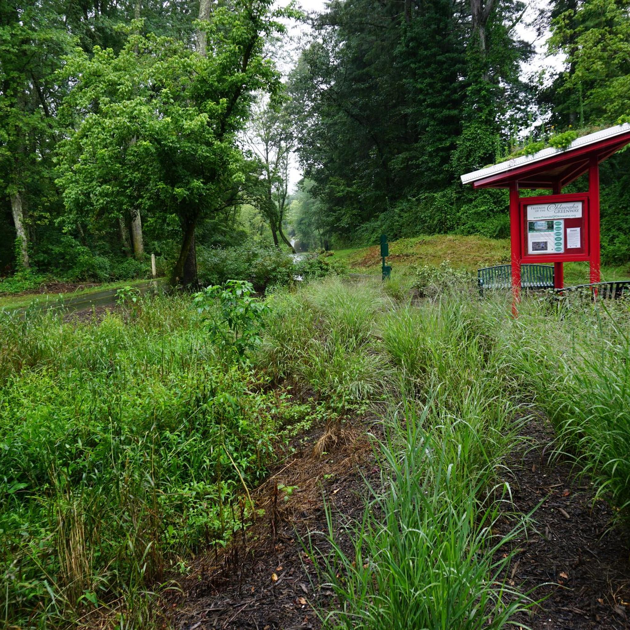
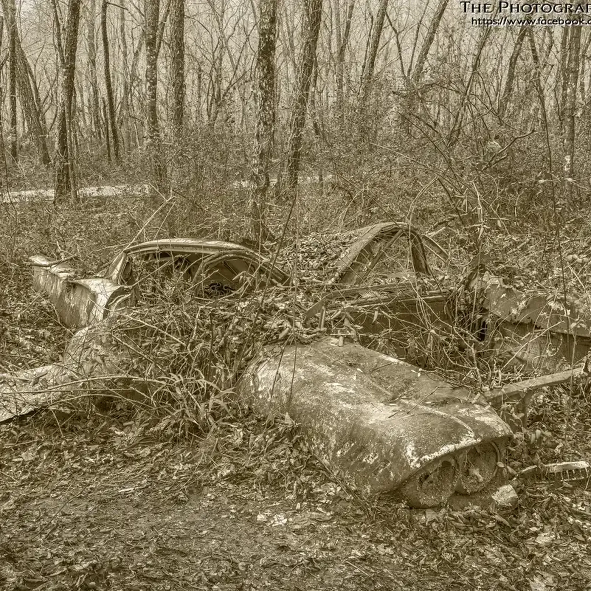

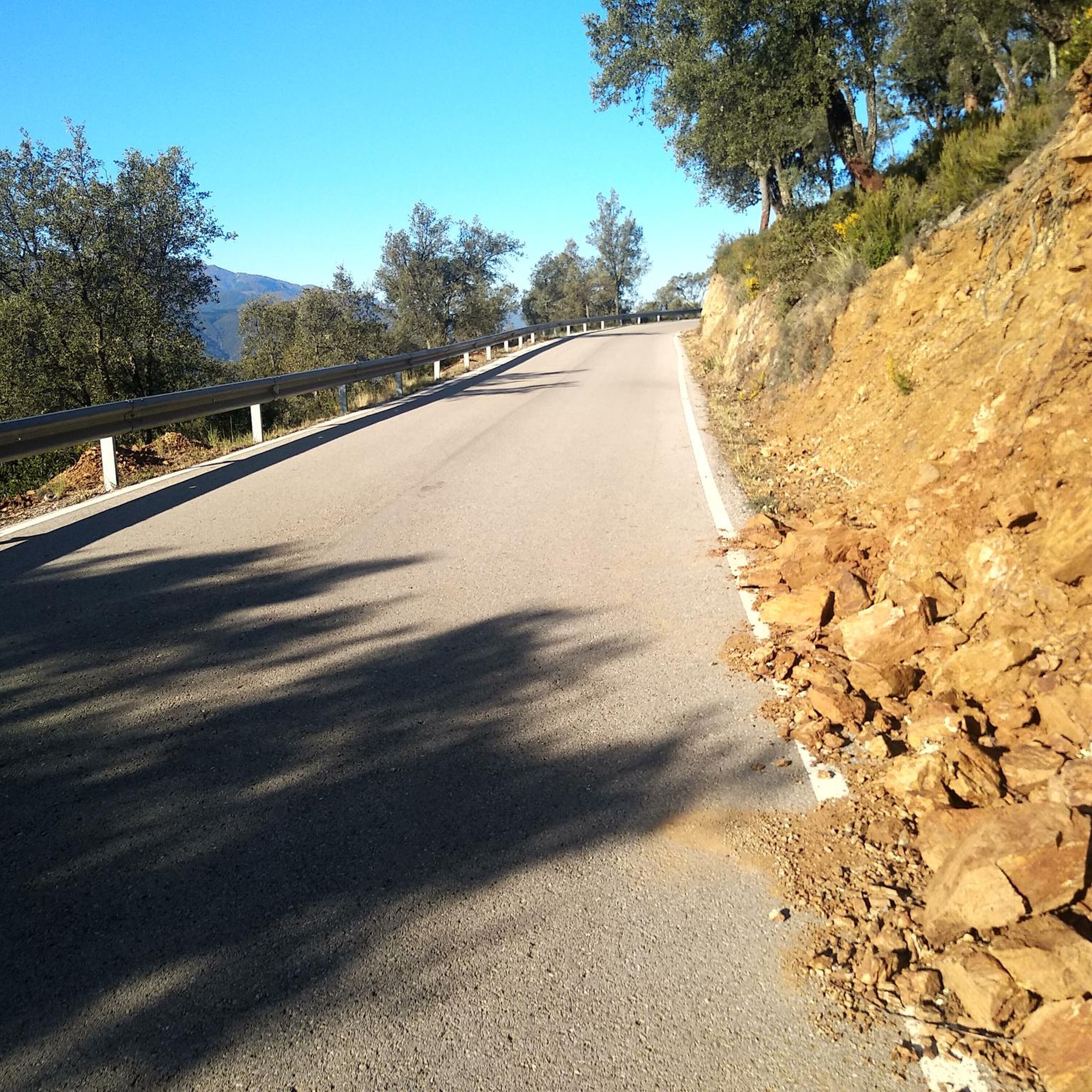
Tips from the Community

The summit of Hickory Nut Gap sits on the Eastern Continental Divide at 2,880 feet (878m). The road is lined with trees, offering some much-appreciated shade in the summer. A few yards south is the Strawberry Gap Trailhead Parking which is popular with hikers. This is the closest parking area to the summit if you want to pull up and wait for your riding buddies or just have a rest. You will have to go a little further towards Chimney Rock or to Fairview to find any stores or restaurants.
0
0
Frequently Asked Questions
How many road cycling routes are available around Fletcher?
Fletcher offers a diverse network of over 30 road cycling routes. These routes cater to various skill levels, with options ranging from easy to difficult, ensuring there's something for every cyclist.
Are there any easy road cycling routes suitable for beginners in Fletcher?
Yes, Fletcher has at least one easy road cycling route. The region's terrain, characterized by rolling hills, also includes gentler sections perfect for those new to road cycling or looking for a relaxed ride.
What are some longer distance road cycling routes near Fletcher?
For longer rides, consider the Historic Piney Grove Cemetery loop from Mills River, which spans 45.0 miles (72.5 km). Another excellent option is the Pierce Lake – Silver Lake loop from Glen Bridge River Access, covering 35.8 miles (57.5 km) with scenic lake views.
Are there challenging road cycling routes with significant elevation gain in Fletcher?
Absolutely. For advanced cyclists seeking a challenge, the Hickory Nut Gap Summit loop from Royal Pines is a difficult route featuring over 1,000 meters of elevation gain across its 67.8 km distance, offering a demanding climb and rewarding views.
What kind of views can I expect on road cycling routes around Fletcher?
Road cycling routes in Fletcher often provide views of rolling hills, river valleys, and forested areas. Many routes traverse rural roads, offering glimpses of the natural beauty of Western North Carolina. For specific scenic points, consider routes that pass by the Chestnut Cove Overlook.
Are there any loop road bike trails in Fletcher?
Yes, many of the road cycling routes in Fletcher are loops. Popular options include the Roadbike loop from Hoopers Creek, a 21.7-mile (35.0 km) route, and the Bill Moore Community Park loop from Fletcher, which is 32.1 km long.
What is the best time of year for road biking in Fletcher?
The region's climate generally supports road cycling through much of the year. Spring and fall offer pleasant temperatures and vibrant scenery, while summer can be warm but still enjoyable, especially on routes with shaded sections. Winter cycling is possible, though conditions may vary with temperature and precipitation.
What do other road cyclists enjoy most about road cycling in Fletcher?
The road cycling experience in Fletcher is highly rated by the komoot community, with an average score of 3.9 stars from over 10 reviews. Cyclists often praise the varied terrain, which includes rolling hills and river valleys, and the opportunity to explore rural roads and small communities.
Are there any interesting landmarks or attractions along the road cycling routes?
While cycling, you might encounter various points of interest. The region features natural attractions like Lake Powhatan and man-made structures such as the Pine Mountain Tunnel. Some routes also pass by the Oklawaha Greenway, offering a different type of cycling experience.
How long do road cycling routes in Fletcher typically take to complete?
The duration of routes varies significantly based on distance and difficulty. For example, a moderate route like the Roadbike loop from Hoopers Creek (21.7 miles) typically takes about 1 hour 56 minutes, while longer routes such as the Historic Piney Grove Cemetery loop (45.0 miles) can take around 3 hours 8 minutes.
Is public transport available to access road bike trails in Fletcher?
Information regarding specific public transport access points directly to trailheads in Fletcher is limited. Most cyclists typically drive to starting points, and parking is generally available at various community parks or designated access areas near the routes.
Most popular attractions around Fletcher

Get inspired with the komoot mobile app


Explore more
Browse the best Road cycling routes in other regions.
