The best walks and hikes around Ellingshausen
4.6
(1893)
6,404
hikers
646
hikes
Hiking trails around Ellingshausen are set within a diverse natural landscape, nestled between the foothills of the Thuringian Forest and the meandering Werra River. The region is characterized by rolling hills, steep valleys, and dense mixed forests, offering varied terrain for outdoor activities. Proximity to the Werra River provides scenic riverside paths, while elevated points like Donopskuppe offer panoramic views of the surrounding natural beauty. This area presents a network of paths suitable for different hiking preferences.
Best hiking trails…
Last updated: July 5, 2026
4.7
(6)
20
hikers
4.45km
01:11
50m
50m
Easy hike. Great for any fitness level. Easily-accessible paths. Suitable for all skill levels.
4.8
(4)
20
hikers
Moderate hike. Good fitness required. Easily-accessible paths. Suitable for all skill levels.

Sign up for free
5.0
(1)
12
hikers
Moderate hike. Good fitness required. Easily-accessible paths. Suitable for all skill levels.
4.6
(5)
17
hikers
10.1km
02:52
220m
220m
Moderate hike. Good fitness required. Easily-accessible paths. Suitable for all skill levels.
4.2
(5)
18
hikers
7.38km
01:58
80m
80m
Easy hike. Great for any fitness level. Easily-accessible paths. Suitable for all skill levels.
Get access to more routes and recommendations from other explorers.
Sign up for free
Already have an account?
Our route recommendations are based on thousands of hikes, rides, and runs completed by other people on komoot.
Start today with a free account
Your next adventure awaits.
Login or Signup
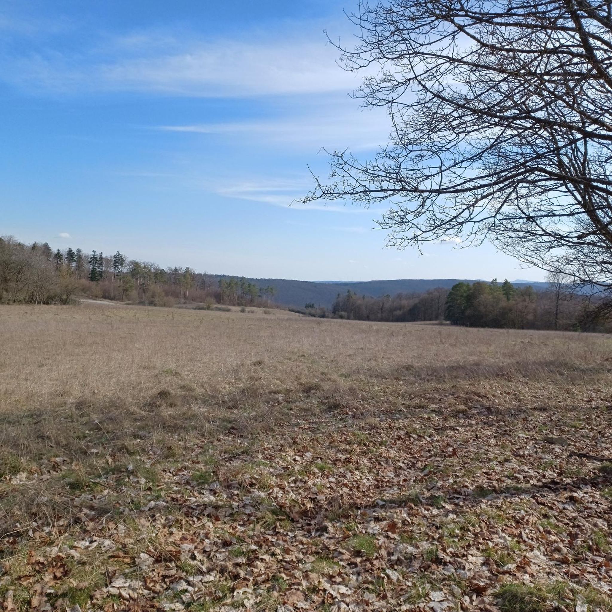
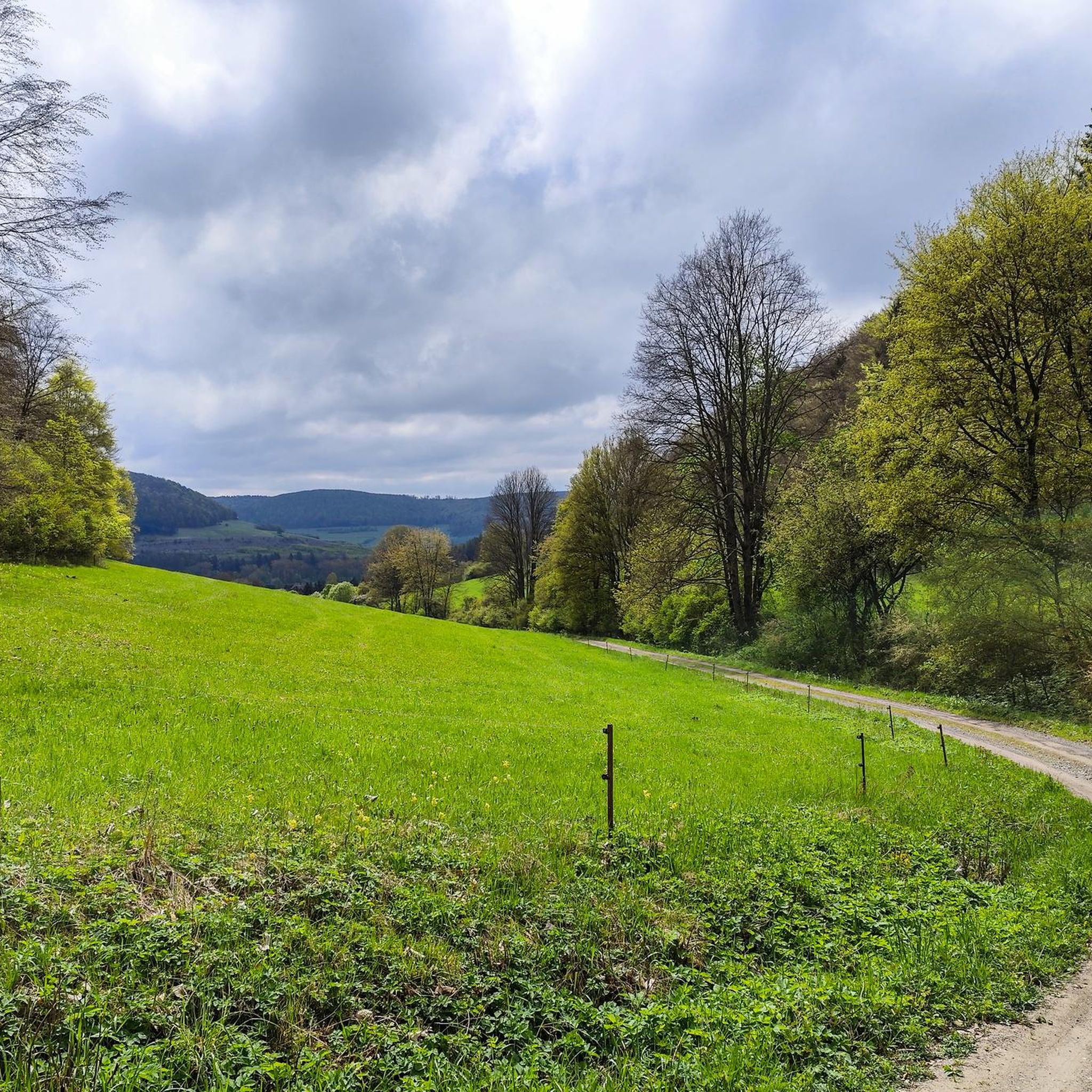
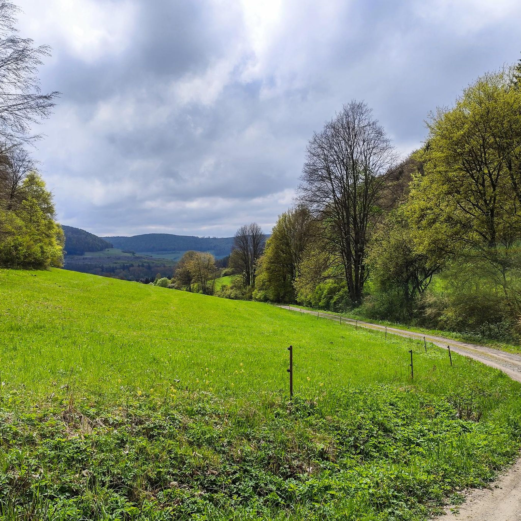
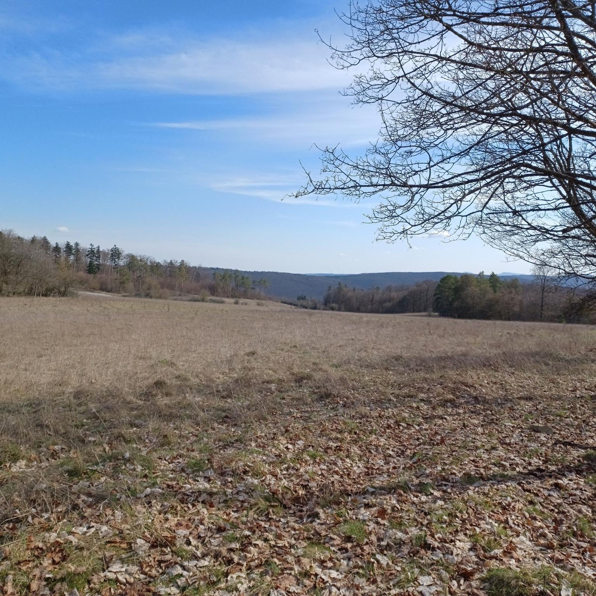
Tips from the Community

A popular starting point for hikes.
2
0

Very nice to look at
1
0


It's a good starting point. There are several great hikes to explore, and you can leave your car here.
1
0

A lovely spot to take a break. What's no longer so lovely is that the former meadow path to the hut has been completely obliterated with frost protection material, so now cars can easily drive right up to it. In my opinion, this is yet another example of blind destruction of nature, because a few people simply don't want to or can't walk 50 meters. It devalues this wonderful natural spot...
2
0

The classroom in the green and with stamp spot👍 that was a nice tour with many great impressions and great paths 😊
1
0
Frequently Asked Questions
How many hiking trails are there around Ellingshausen?
Ellingshausen offers a wide variety of hiking opportunities, with over 630 routes available. This extensive network ensures there's a suitable path for nearly every preference and fitness level.
What are the different difficulty levels of hiking trails in Ellingshausen?
The hiking trails around Ellingshausen cater to all abilities. You'll find a substantial number of easy routes, with over 300 available for leisurely strolls. There are also nearly 300 moderate trails for those seeking a bit more challenge, and around 30 difficult routes for experienced hikers looking for a demanding adventure.
Are there any family-friendly hiking trails in Ellingshausen?
Yes, many trails in Ellingshausen are suitable for families. For an easy and pleasant walk, consider the Cotta Hut – Grenzbuche Junction loop from Meiningen, which is just under 4.5 km long and takes about an hour to complete. Its gentle terrain makes it ideal for outings with children.
Can I bring my dog on the hiking trails in Ellingshausen?
Ellingshausen's natural landscapes, characterized by dense mixed forests and riverside paths, are generally welcoming for dogs. While specific rules may vary by location, most trails are suitable for well-behaved dogs on a leash. Always ensure you clean up after your pet to preserve the unspoilt nature of the region.
Are there circular hiking routes available in Ellingshausen?
Yes, Ellingshausen features several excellent circular routes. A popular moderate option is the Gökersacker Rooster Sculpture – Old Vachdorf Station loop from Ellingshausen, which spans over 16 km and takes approximately 4 hours 43 minutes, leading through varied terrain and past local landmarks.
What kind of natural landscapes can I expect to see while hiking around Ellingshausen?
Hiking around Ellingshausen offers a diverse natural experience. You'll traverse rolling hills and steep valleys within the foothills of the Thuringian Forest, explore dense mixed forests, and enjoy scenic paths along the meandering Werra River. Elevated points like the Donopskuppe also provide fantastic panoramic views of the surrounding beauty.
Are there any scenic viewpoints or landmarks along the hiking trails?
Absolutely. Many trails lead to scenic viewpoints. For instance, the moderate Kahle Emma Viewpoint – View of Meiningen loop from MZA Meyer-Zweiradtechnik leads to a spot offering vistas of Meiningen and the surrounding landscape. Additionally, the region is rich in historical elements, with routes often passing by castles, palaces, and historic buildings.
What do other hikers enjoy most about hiking in Ellingshausen?
The hiking routes in Ellingshausen are highly rated by the komoot community, with an average score of 4.6 stars from over 1600 reviews. Hikers frequently praise the diverse and unspoilt natural landscapes, the well-maintained trails, and the tranquility found within the dense mixed forests and along the Werra River.
Can I find any caves or unique natural monuments near Ellingshausen?
Yes, the region around Ellingshausen is home to several interesting geological features. You can explore highlights such as the Goetz Cave, the Sandstone and Fairy Tale Cave Walldorf, and the Armlöcher Natural Monument. These offer unique sights to discover off the main trails.
Are there any historical attractions or points of interest to see while hiking?
Beyond the natural beauty, Ellingshausen's trails often integrate cultural and historical elements. You might encounter highlights like the Historic Bridge Near Einhausen or the Meiningen Arch Bridge. The broader region is also known for its castles and historic buildings, adding a rich historical layer to your hiking experience.
What is the best time of year to go hiking in Ellingshausen?
Ellingshausen offers beautiful hiking experiences throughout the year. The natural surroundings shine in vibrant colors during spring and autumn, making these seasons particularly picturesque for hikers. Summer provides lush green landscapes, while winter can offer serene, snow-covered trails, though some paths may require appropriate gear.
Are there any longer, more challenging routes for experienced hikers?
For those seeking a more demanding hike, Ellingshausen has options. While not explicitly difficult, the White Stone – Helenenhöhe Hiking Car Park loop from Meiningen is a moderate route spanning nearly 10 km, offering a good workout with over 200 meters of elevation gain. There are also around 30 routes categorized as difficult for experienced adventurers.
Most popular routes around Ellingshausen
Most popular attractions around Ellingshausen

Get inspired with the komoot mobile app


Explore more
Browse the best Hikes in other regions.
