The best road cycling routes around Rocky Point
4.4
(24)
435
riders
13
rides
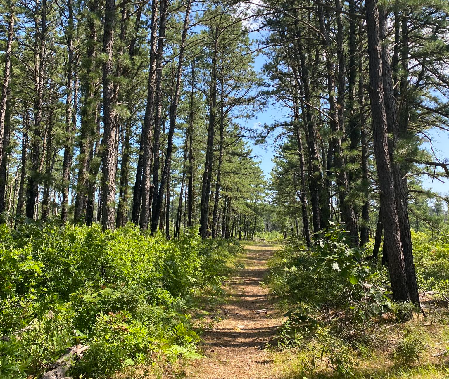
Road cycling routes around Rocky Point, New York, traverse a landscape characterized by coastal areas, woodlands, and river systems. The region offers varied terrain, from relatively flat stretches near the coast to gentle rolling hills further inland. Road cyclists can expect a mix of paved roads, often passing through residential areas and natural preserves.
Best road cycling routes around Rocky Point
- The most popular road cycling route is Peconic River – Rocky Point Parking loop from Rocky Point, a…
Last updated: July 2, 2026
8
riders
80.3km
03:14
270m
270m
If you're looking for a road cycling route that combines a solid workout with varied scenery, the Peconic River – Rocky Point Parking loop is a fantastic option. This moderate…
9
riders
54.7km
02:21
170m
170m
Moderate road ride. Good fitness required. Mostly well-paved surfaces and easy to ride.

Sign up for free
5.0
(1)
8
riders
30.8km
01:16
160m
160m
This easy road bike loop from Rocky Point offers a delightful journey through Long Island's varied landscape. You'll pedal along 19.1 miles (30.8 km) of mostly paved roads, experiencing a…
9
riders
40.8km
02:04
500m
500m
The Mount Sinai Harbor – Mount Misery loop offers road cyclists a refreshing blend of coastal views and deep woodland stretches. This moderate 25.4 miles (40.8 km) route takes you…
7
riders
62.9km
02:37
300m
300m
Moderate road ride. Good fitness required. Mostly well-paved surfaces and easy to ride.
Get access to more routes and recommendations from other explorers.
Sign up for free
Already have an account?
Our route recommendations are based on thousands of hikes, rides, and runs completed by other people on komoot.
Start today with a free account
Your next adventure awaits.
Login or Signup

Other adventures around Rocky Point

Tips from the Community

Long Island is known as the cradle of aviation and is the scene of many aviation premieres. Many aircraft manufacturers such as Grumman, Republic and Brewster had their headquarters on the island.
0
0

The Vietnam Veterans Memorial Recreational Trail is a 9.5-mile trail that is mostly paved and, in some places, hard-packed dirt. It is mostly flat and takes bikers on long stretches around the Calverton Executive Airpark.
0
0

This 191-acre undeveloped area is highly popular for hunting, hiking, skiing, snowshoeing, and biking. It features a nice single-track 8.5-mile loop bike trail that's great for beginners and intermediate riders, along with 1.5 miles of more advanced hill climbs.
1
0

This fast and good quality road travels through the Robert Cushman Murphy Country Park forest, with a tall canopy of trees enveloping the road. Keep an eye out for the trains passing on the adjacent line.
0
0

The Wardenclyffe Tower, also known as the Tesla Tower, was an early experimental wireless transmission station designed and built by Nikola Tesla from 1901 to 1902.
0
0
Grumman Memorial Park is right next to the Vietnam Veterans Memorial Recreational Trail. The park is open every day from 9 a.m.–5 p.m., and features two retired military planes. There are benches and informational plaques to read. It was a cool opportunity to see these aircraft up close and personal in this intimate park.
0
0
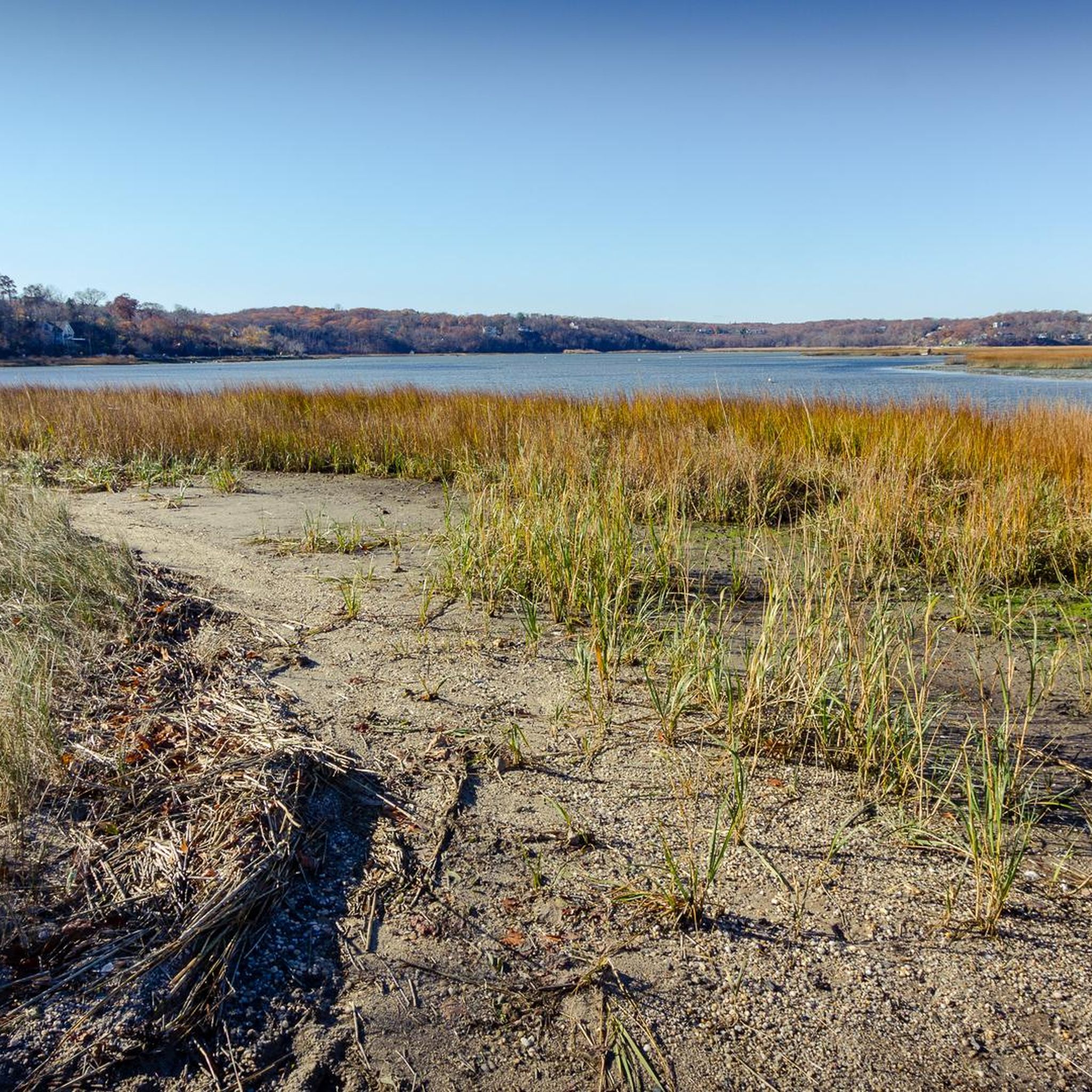
The Peconic River flows through the east end of Long Island, and it is just about 15 miles long. The river is an important ecosystem for fish and birds. The river is used by people for biking, running, fishing, kayaking, and birdwatching.
0
0

Burma Boulevard passes straight through the airstrip at Calverton Executive Airpark. It's an intriguing place to ride your bike.
0
0
Frequently Asked Questions
How many road cycling routes are available around Rocky Point?
There are over 45 road cycling routes available around Rocky Point, offering a variety of options for different skill levels. The komoot community has explored these routes over 300 times, rating them highly.
What kind of terrain can I expect on road cycling routes in Rocky Point?
Road cycling routes around Rocky Point, New York, feature a diverse landscape. You'll find coastal areas, woodlands, and river systems. The terrain varies from relatively flat stretches near the coast to gentle rolling hills further inland, often passing through residential areas and natural preserves.
Are there easy road cycling routes for beginners in Rocky Point?
Yes, Rocky Point offers several easy road cycling routes. For example, the Roadbike loop from Rocky Point is an easy 19.1-mile (30.8 km) path. In total, there are 16 easy routes to choose from, perfect for those new to road cycling or looking for a relaxed ride.
Can I find challenging road cycling routes in Rocky Point?
While there are no routes classified as 'difficult,' Rocky Point offers 32 moderate road cycling routes that provide a good challenge. These routes often feature longer distances and more varied elevation changes, such as the Mount Sinai Harbor – Mount Misery loop from Rocky Point, which covers 25.3 miles (40.8 km) with significant elevation gain.
What are some popular road cycling routes in Rocky Point?
Among the most popular routes are the Peconic River – Rocky Point Parking loop from Rocky Point, a moderate 49.9-mile (80.3 km) trail, and the Wildwood State Park – Peconic River loop from Rocky Point, a moderate 39.1-mile (62.9 km) path offering diverse scenery.
Are there any circular road cycling routes in Rocky Point?
Many of the road cycling routes in Rocky Point are designed as loops, allowing you to start and end at the same point. Examples include the Roadbike loop from Sound Beach and the Roadbike loop from Rocky Point, providing convenient circular journeys.
What kind of landmarks or attractions can I see along the road cycling routes?
While cycling, you can explore various points of interest. Notable attractions include the Setauket-Port Jefferson Station Greenway Trail, Glacier Ridge Preserve, and Mount Sinai Harbor. You might also pass by the Grumman Memorial Park and the Vietnam Veterans Memorial Recreational Trail.
What do other road cyclists enjoy most about road cycling in Rocky Point?
The area is highly rated by the komoot community, with an average score of 4.5 stars from over 16 reviews. Reviewers often praise the mix of coastal paths, river views, and wooded sections, as well as the variety of routes suitable for different ability levels.
What is the best season for road biking in Rocky Point?
Rocky Point generally enjoys a mild climate, making its outdoor activities enjoyable year-round. However, for road cycling, spring and fall often offer the most comfortable temperatures and pleasant conditions, avoiding the peak heat of summer or potential chill of winter.
Are there road cycling routes that offer scenic viewpoints?
Yes, many routes in Rocky Point offer scenic views, particularly those that traverse coastal areas or follow river systems. The Mount Sinai Harbor – Mount Misery loop from Rocky Point, for instance, leads through coastal and wooded areas, providing picturesque vistas.
How long do road bike routes near Rocky Point typically take to complete?
The duration of road bike routes varies significantly. Shorter, easy loops like the Roadbike loop from Sound Beach can be completed in just over an hour, while longer, moderate routes such as the Peconic River – Rocky Point Parking loop from Rocky Point might take over three hours.
Most popular routes around Rocky Point
Most popular attractions around Rocky Point

Get inspired with the komoot mobile app


Explore more
Browse the best Road cycling routes in other regions.
