The best cycling routes around Mahopac
5.0
(10)
169
riders
17
rides
Touring cycling routes around Mahopac traverse a landscape characterized by extensive rail trails, numerous lakes, and varied woodlands. The region offers a mix of paved and unpaved paths, with topography ranging from flat sections along former railway lines to rolling hills. Cyclists can explore interconnected waterways and natural areas, providing diverse scenery for rides.
Best touring cycling routes around Mahopac
- The most popular touring cycling route is Maybrook and Putnam Trailways Loop, a 37.4 miles (60.2 km) trail that takes 3 hours 41 minutes to complete. This route combines two prominent rail trails, offering a mix of paved surfaces and scenic passages.
- Another top favourite among local touring cyclists is Goldens Bridge Loop, a difficult 29.3 miles (47.1 km) path. This route features significant elevation gain through varied terrain, including woodlands and country roads.
- Local touring cyclists also love the Whaley Lake – Maybrook Trailway loop from Brewster, a 49.5 miles (79.7 km) trail leading through diverse landscapes, often completed in about 4 hours 38 minutes.
- Touring cycling around Mahopac is defined by extensive rail trails, the presence of multiple lakes, and scenic woodlands. The network offers options for various ability levels, from leisurely rides to routes with challenging climbs.
- The routes in Mahopac are highly rated by the komoot community with an average score of 5.0 stars from 44 reviews. Nearly 200 touring cyclists have used komoot to explore Mahopac's varied terrain.
Last updated: June 25, 2026
60.2km
03:41
550m
550m
Cycle the Maybrook and Putnam Trailways Loop, a challenging 37.4-mile route with 1820 feet of elevation gain through scenic woodlands and pa
47.1km
03:09
550m
550m
This difficult 29.3-mile touring cycling route near Goldens Bridge, NY, offers challenging climbs and scenic country roads with 1818 feet of

Sign up for free
5.0
(1)
25
riders
42.0km
02:27
210m
210m
Moderate bike ride. Good fitness required. Mostly paved surfaces. Suitable for all skill levels.
5.0
(2)
30
riders
32.1km
02:00
330m
330m
Moderate bike ride. Good fitness required. Mostly paved surfaces. Suitable for all skill levels.
17
riders
35.1km
02:09
320m
320m
Moderate bike ride. Good fitness required. Mostly paved surfaces. Suitable for all skill levels.
Get access to more routes and recommendations from other explorers.
Sign up for free
Already have an account?
Our route recommendations are based on thousands of hikes, rides, and runs completed by other people on komoot.
Start today with a free account
Your next adventure awaits.
Login or Signup



Tips from the Community


This paved rail trail traverses two counties in New York — you can bike more than 28 miles on it if you go from end to end. This particular section passes through a sort of wetland land — keep an eye out for birds!
0
0
This late Gothic Revival-style chapel is on the National Register of Historic Places; it's run by a volunteer board of trustees and is available for both religious and secular activities.
0
0

The North County Trailway is a 20-mile rail trail from Baldwin Place to Sleepy Hollow. The section around Yorktown Heights is particularly scenic. It passes several Revolutionary War monuments and an old railway depot. The section ends at a beautiful old railway trestle bridge.
0
0
This bronze statue is a memorial to the Battle of Pines Bridge, a battle in the Revolutionary War. The monument is made to reflect the diversity of the soldiers in the war. The monument is located in Railroad Park, which has benches and a cafe.
0
0
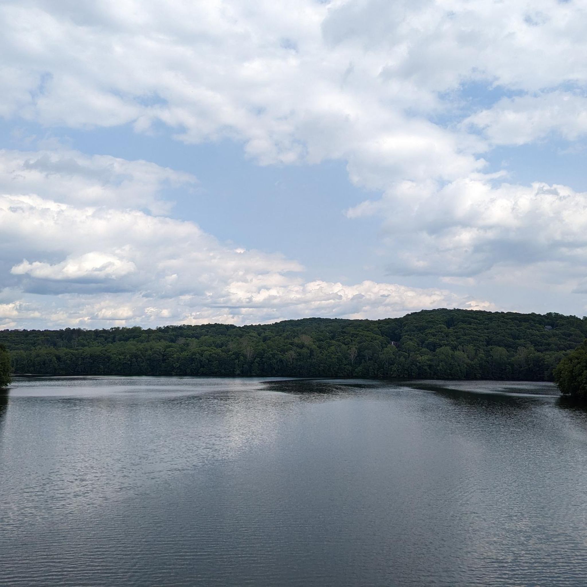
As you cross over an old rail trestle bridge, you are treated to great views of the New Croton Reservoir. The bridge is not open for car traffic, so you can stop on the path for a quick break to take in the views.
2
0
Interesting tunnel under Kitchawan Road. The tunnel was constructed when this trail was still a railroad, but it has been adapted for hikers and cyclists. It is a fairly short tunnel, so you are able to walk through it without a light.
1
0
Frequently Asked Questions
How many touring cycling routes are available around Mahopac?
There are 17 touring cycling routes around Mahopac, offering a diverse range of experiences. These include 2 easy routes, 10 moderate routes, and 5 difficult routes, catering to various skill levels.
What kind of terrain can I expect on touring cycling routes in Mahopac?
Mahopac's touring cycling routes feature a mix of paved and unpaved paths. You'll find extensive rail trails, such as the Maybrook Trailway, which are generally flat and paved. Other routes wind through scenic woodlands and rolling terrain, with some offering challenging climbs and significant elevation changes, particularly on country roads.
Are there any family-friendly touring cycling routes in Mahopac?
Yes, Mahopac offers routes suitable for families. The extensive rail trails, like sections of the Maybrook Trailway, provide mostly flat and paved surfaces, ideal for a relaxed ride with children. For an easy option, consider the Maybrook Trailway – Maybrook Trailway loop from Brewster, which is 26.1 km long and has minimal elevation gain.
What natural features can I see while cycling around Mahopac?
The region is rich in natural beauty. You'll cycle past numerous lakes, including Lake Mahopac, Kirk Lake, and Lake Casse, as well as interconnected waterways like the Muscoot River and Secor Brook. Many routes traverse scenic woodlands and wetlands, offering opportunities for wildlife viewing. The area is also part of the Hudson Highlands Significant Biodiversity Area.
Are there any historical landmarks along the touring cycling routes?
Yes, some routes pass by historical points of interest. For example, the North County Trailway, which connects to some Mahopac routes, features Revolutionary War monuments, including The Pine Bridge Monument in Railroad Park. These sites offer a glimpse into the region's past as you ride.
What do other touring cyclists say about the routes in Mahopac?
The touring cycling routes in Mahopac are highly regarded by the komoot community, with an average score of 5.0 stars from 44 reviews. Nearly 200 touring cyclists have used komoot to explore the varied terrain, often praising the well-maintained rail trails, scenic lake views, and diverse landscapes.
Can I find circular touring cycling routes in Mahopac?
Yes, Mahopac offers several excellent circular touring cycling routes. A popular option is the Maybrook and Putnam Trailways Loop, which combines two prominent rail trails for a 60.2 km ride. Another well-liked loop is the Whaley Lake – Maybrook Trailway loop from Brewster, covering 79.7 km through diverse landscapes.
What is the best season for touring cycling in Mahopac?
The best seasons for touring cycling in Mahopac are generally spring, summer, and fall. Spring brings lush greenery, while autumn offers spectacular fall foliage. Summer is also popular, though it can be warmer. Winter cycling is possible, but conditions may vary, with some trails potentially being icy or snow-covered, so checking local conditions is advisable.
Are there any moderate difficulty touring cycling routes for experienced riders?
Absolutely. Mahopac has 10 moderate difficulty routes. An example is the Lake Casse – Senior Hill loop from Brewster, which is 35.0 km long and includes some elevation gain, offering a good challenge without being overly strenuous. These routes often combine rail trail sections with scenic country roads.
Where can I park when visiting Mahopac for a touring cycling trip?
Parking is generally available at various access points along the major rail trails. For instance, the North County Trailway and Maybrook Trailway have designated parking areas at trailheads. It's recommended to check specific route details or local park websites for the most convenient parking locations for your chosen starting point.
Are there any specific viewpoints or scenic spots along the routes?
Many routes offer picturesque views, especially those that skirt the numerous lakes in the area. The rail trails often provide open vistas of wetlands and woodlands. For elevated perspectives, areas like Mount Nimham, though not directly on a cycling route, offer panoramic views of the surrounding landscape, which can be incorporated into a longer trip or visited separately.
Most popular attractions around Mahopac

Get inspired with the komoot mobile app


Explore more
Browse the best Cycling routes in other regions.
