The best road cycling routes around Pines Lake
4.9
(9)
594
riders
82
rides
Road cycling routes around Pines Lake offer a diverse landscape characterized by well-paved surfaces and varied terrain. The region features numerous lakes and reservoirs, providing picturesque waterside routes and views. Cyclists can expect undulating roads with both challenging ascents and enjoyable descents, often passing through green and wooded environments. This area provides a range of road cycling options for different fitness levels.
Best road cycling routes around Pines Lake
- The most popular road cycling route is Rockaway River – Morris…
Last updated: July 12, 2026
30
riders
57.0km
02:34
240m
240m
Moderate road ride. Good fitness required. Mostly well-paved surfaces and easy to ride.
20
riders
79.0km
03:46
760m
760m
Moderate road ride. Good fitness required. Mostly well-paved surfaces and easy to ride.

Sign up for free
7
riders
52.6km
02:11
330m
330m
Moderate road ride. Good fitness required. Mostly well-paved surfaces and easy to ride.
5.0
(1)
8
riders
34.6km
01:46
430m
430m
Moderate road ride. Good fitness required. Some segments of this route may be unpaved and difficult to ride.
8
riders
72.1km
03:12
480m
480m
Moderate road ride. Good fitness required. Mostly well-paved surfaces and easy to ride.
Get access to more routes and recommendations from other explorers.
Sign up for free
Already have an account?
Our route recommendations are based on thousands of hikes, rides, and runs completed by other people on komoot.
Start today with a free account
Your next adventure awaits.
Login or Signup
Popular around Pines Lake

Tips from the Community

The border between New York and New Jersey runs to the middle of the 7-mile long Greenwood Lake. The area has been popular with tourists for decades, including Babe Ruth, who visited the area frequently in the 1930s and 40s. These days visitors will find many marinas and restaurants dotted along its shores, beckoning them to stop for a while.
0
0

At this spot is a metal historical marker for the Pompton Furnace. The furnace and iron works, which are no longer standing, supplied cannonballs to the Continental Army in 1776-1777 and other arms in the War of 1812 and the Civil War. The furnace was destroyed by a flood in 1903.
0
0
At this spot is a metal historical marker for the Pompton Furnace. The furnace and iron works, which are no longer standing, supplied cannonballs to the Continental Army in 1776-1777 and other arms in the War of 1812 and the Civil War. The furnace was destroyed by a flood in 1903.
0
0

The Morris Canal runs under Main Road at the intersection of Valhalla Road and is marked with a humble sign. This canal was built in 1823, carried tons of raw materials, and was an important part of the local history here.
0
0
The Rockaway River, spanning about 35 miles, is a tributary of the Passaic River. In the 19th century, it played an important role as an industrial transportation link, connecting to the Morris Canal near Wharton, which was a big part of the shipping of coal and iron ore between Pennsylvania and New York City. While historically there were pollution issues, the isolated upper course of the river is now a popular site for smallmouth bass fishing.
0
0

Good view of the Rockaway River as you go over this bridge. The Rockaway River is a tributary of the Passaic River. The upper course of the river flows through these wooded areas, whereas the lower course flows through the populated New Jersey suburbs and former industrial areas.
0
0

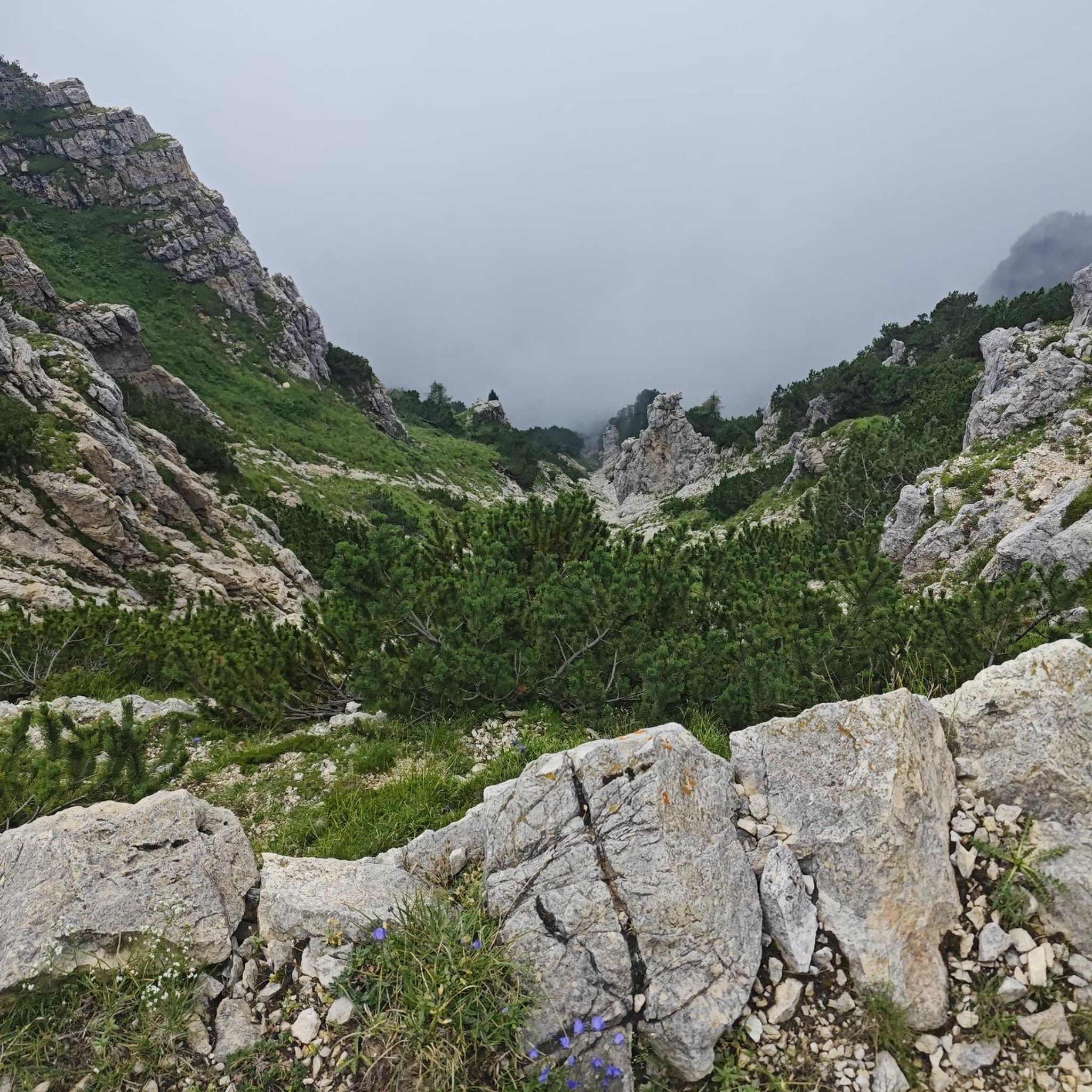
This is a nice viewpoint along the green-blazed Otter Hole Trail. You might see some cascades along this trail, but it's really best-known for showcasing some interesting rock formations.
0
0
Good view of the Rockaway River as you go over this bridge. The Rockaway River is a tributary of the Passaic River. The upper course of the river flows through these wooded areas, whereas the lower course flows through the populated New Jersey suburbs and former industrial areas.
0
0
Frequently Asked Questions
How many road cycling routes are available around Pines Lake?
There are over 75 road cycling routes around Pines Lake, offering a wide range of options for different skill levels and preferences. You'll find everything from easy, leisurely rides to more challenging routes with significant elevation gains.
What kind of terrain can I expect on road cycling routes near Pines Lake?
The region around Pines Lake features a diverse landscape with mostly well-paved surfaces. Cyclists can expect undulating roads, providing both challenging ascents and enjoyable descents. Many routes pass through green and wooded environments, often alongside picturesque lakes and reservoirs.
Are there easy road cycling routes suitable for beginners or families around Pines Lake?
Yes, Pines Lake offers several easy road cycling routes. For instance, the Potash Lake Recreation Area – Wilderness Island Park loop from Pompton Lakes is an easy 24.3-mile ride through varied parkland. Another great option is the Haledon Reservoir – Views of Franklin Lake loop from Franklin Lakes, which is also considered an easy route.
What are some challenging road cycling routes with significant climbs near Pines Lake?
For those seeking a challenge, routes like the View of Wanaque Reservoir – Wanaque Reservoir loop from Oakland offer over 1,300 feet of climbing. The Pompton Furnace – Ramapo Valley Road loop from Pompton Lakes also includes over 1,000 feet of climbing through the scenic Ramapo Valley.
What natural features or landmarks can I see along the road cycling routes?
Many routes offer scenic views of various lakes and reservoirs. You might encounter highlights such as Wanaque Reservoir, Ramapo Lake, and Butler Reservoir. For stunning vistas, consider routes that pass near viewpoints like Wyanokie High Point or Torne Mountain Viewpoint. You might even spot Chikahoki Falls on some routes.
Are there road cycling routes that are primarily loops?
Yes, many of the road cycling routes around Pines Lake are designed as loops, allowing you to start and finish at the same point. Examples include the Rockaway River – Morris Canal loop from Oakland and the Pompton Furnace – Ramapo Valley Road loop from Pompton Lakes.
What is the average duration and distance of road cycling routes in Pines Lake?
Route distances vary significantly, from shorter rides of around 20 miles to longer excursions over 40 miles. For example, the Rockaway River – Morris Canal loop from Oakland is 41.2 miles and takes about 2 hours 53 minutes, while the Potash Lake Recreation Area – Wilderness Island Park loop from Pompton Lakes is 24.3 miles and typically takes about 1 hour 42 minutes.
What do other road cyclists enjoy most about cycling in Pines Lake?
The area is highly rated by the komoot community, with an average score of 4.9 stars from over 8 reviews. Reviewers often praise the diverse landscape, well-paved surfaces, and the varied terrain that offers both challenging ascents and enjoyable descents. The scenic views of lakes and wooded environments are also frequently highlighted.
When is the best time of year for road cycling around Pines Lake?
While specific seasonal data isn't provided, the varied terrain and scenic beauty suggest that spring, summer, and fall would offer pleasant conditions for road cycling. Spring brings fresh greenery, summer offers warmth, and fall provides vibrant foliage, making these seasons ideal for exploring the region's routes.
Are there any waterfalls accessible by road bike near Pines Lake?
Yes, some routes in the broader region may bring you close to natural features like Chikahoki Falls. While not directly on every road cycling path, it's a notable natural monument in the area that could be incorporated into a ride or visited nearby.
What are the elevation gains like on road cycling routes in Pines Lake?
Elevation gains vary depending on the route's difficulty. Easy routes might have a few hundred feet of climbing, while moderate routes often feature over 900 feet of elevation gain. More challenging routes, such as the View of Wanaque Reservoir – Wanaque Reservoir loop from Oakland, can include over 1,300 feet of ascent.
Most popular routes around Pines Lake
Most popular attractions around Pines Lake

Get inspired with the komoot mobile app


Explore more
Browse the best Road cycling routes in other regions.
