The best walks and hikes around Lawrenceville
4.5
(9)
210
hikers
54
hikes
Hiking around Lawrenceville offers access to a network of trails within Gwinnett County's parks and natural areas. The region is characterized by gently rolling hills, extensive park systems, and verdant surroundings, providing varied terrain for outdoor activities. Hikers can explore areas featuring lakes, wooded paths, and multi-use trails. These landscapes provide options ranging from easy strolls to more challenging routes through natural environments.
Best hiking trails around Lawrenceville
- The most popular hiking route is Lawrence Hopewell Trail: Pole Farm Loop, a 4.6 miles (7.4 km) trail that takes 1 hour 54 minutes to complete. This easy loop navigates through varied parkland.
- Another top favourite among local hikers is Lawrence Hopewell, Bryan Farm, Maidenhead Trails Loop, an easy 3.7 miles (6.0 km) path. This route connects several local farms and natural areas.
- Local hikers also love the Lawrence Hopewell Trail, a 5.3 miles (8.6 km) trail leading through diverse landscapes, often completed in about 2 hours 13 minutes.
- Hiking around Lawrenceville is defined by rolling hills, extensive park systems, and wooded paths. The network offers options for different ability levels, from easy walks to moderate hikes.
- The routes in Lawrenceville are highly rated by the komoot community with an average score of 4.3 stars from over 7 reviews. More than 200 hikers have used komoot to explore Lawrenceville's varied terrain.
Last updated: October 10, 2026
5
hikers
6.01km
01:33
30m
30m
Embark on an easy hike through the Lawrence Hopewell, Bryan Farm, Maidenhead Trails Loop, a 3.7-mile (6.0 km) route that offers a pleasant mix of open fields and peaceful woodlands. You will encounter a distinctive elevated wooden boardwalk that guides you through scenic wetland habitats, providing a unique perspective of the natural surroundings. With only 104 feet (32 metres) of elevation gain, this loop is designed for a relaxed pace, taking about 1 hour and 33 minutes to complete.
When planning your visit, be aware that certain sections of the trail, especially in wooded areas, can become muddy after rainfall. Sturdy footwear is highly recommended to navigate these potentially damp spots and any fallen leaves or branches you might encounter. Parking is generally accessible at various points along the broader Lawrence Hopewell Trail system, making it convenient to start your adventure.
This route winds through Mercer Meadows County Park, allowing you to experience the historic Bryan Farm section with its open fields. You will also traverse parts of the Maidenhead Meadows, where the boardwalk offers an immersive journey over Shipetaukin Creek. The trail features crushed-stone paths and gravel roads, occasionally revealing views of farmland and glimpses of historical landmarks like the Brearley House, adding a touch of local heritage to your outdoor experience.
3
hikers
5.08km
01:19
30m
30m
Embark on an easy 3.2-mile (5.1 km) hiking adventure along the Reed / Bryan Farm Trail, a route that promises a gentle journey through varied landscapes. You will experience serene woodlands, expansive meadows, and open fields, with a modest 93 feet (28 metres) of elevation gain. This pleasant hike typically takes around 1 hour and 18 minutes to complete, offering a relaxing outdoor escape where you can enjoy the natural scenery and perhaps spot wildlife.
When planning your visit, be aware that sections of the trail can become muddy after rainfall, so waterproof footwear is a good idea. The Reed-Bryan Farm parking area provides convenient access and includes restrooms, specifically waterless composting toilets. Spring and fall are often the best times to explore the trail, as the weather is mild and the scenery is particularly vibrant, making for a more comfortable and picturesque experience.
The trail is a highlight within Mercer Meadows County Park, known for its diverse ecosystems. As you hike, keep an eye out for white-tailed deer, red foxes, and over 200 species of birds, especially when passing through the Curlis Woods section. The restored meadows along the route are vital habitats, attracting native pollinators and various grassland birds, adding to the rich biodiversity you can observe.

1
hikers
6.30km
01:38
40m
40m
The Lawrence Hopewell Trail: Mercer Meadows Segment offers a delightful journey through open fields, mature woodlands, and past serene bodies of water like Rosedale Lake. You'll find a mix of surfaces underfoot, from fine stone and mowed grass to paved sections and boardwalks, creating a varied yet consistently easy experience. Keep an eye out for diverse wildlife, especially birds, as you explore the park's restored habitats.
This 3.9-mile (6.3 km) hiking route is rated easy, with a gentle 126 feet (38 metres) of elevation gain, and typically takes around 1 hour and 38 minutes to complete. Ample parking is available, and the trail features ADA-compliant sections, making it accessible for many. Restrooms and picnic areas are conveniently located near parking spots, so you can easily plan a comfortable outing.
Part of the larger 22-mile Lawrence Hopewell Trail, this segment is notable for its historical elements, including the Historic Pole Farm with its interpretive signs. The park's significant habitat restoration efforts contribute to a rich environment, offering excellent opportunities for wildlife viewing, from grassland birds to deer. It's a fantastic option for families or anyone seeking a peaceful, nature-filled walk in Mercer County, New Jersey.
Embark on a moderate hike along the historic Delaware & Raritan Canal Towpath, stretching 5.2 miles (8.3 km) from Brearley House to the Turning Basin. This route offers continuous views of the canal, where you can enjoy the gentle sound of flowing water. The path is often shaded by a natural tree canopy, guiding you through lush forests and open fields, with an estimated duration of 2 hours and 6 minutes and a minimal elevation gain of 28 feet (9 metres).
This section of the towpath is highly accessible, featuring numerous access points and convenient parking areas along its length. The trail surface is generally well-maintained, composed of natural earth, crushed stone, or hard-packed dirt, though you should be prepared for occasional mud puddles after rain. No specific permits or fees are required to enjoy this scenic hike.
As you traverse the path, keep an eye out for local wildlife, including various bird species, turtles, and beavers that inhabit the canal ecosystem. You will also encounter historical landmarks such as the Washington's March to Princeton Monument, connecting you to the canal's significant 19th-century past and its role in regional history.
6
hikers
7.36km
01:54
40m
40m
The Lawrence Hopewell Trail: Pole Farm Loop offers a delightful and varied hiking experience through Mercer Meadows. You'll wander through open fields dotted with wildflowers, transition into shaded woodlands, and pass by the intriguing historical "Pole Farm" landmark. The trail's generally flat terrain, a mix of paved and natural surfaces, makes it an inviting option for a relaxed outing, allowing you to spot deer and rabbits in their natural habitat.
Planning your visit is straightforward, as the trail is highly accessible with ample parking available. You'll find restrooms and picnic areas conveniently located near the parking spots, making it easy to spend a few hours enjoying the outdoors. This multi-use trail is suitable for year-round enjoyment, whether you're hiking, jogging, or even cross-country skiing in winter.
This easy 4.6-mile (7.4 km) loop, with a gentle 132 feet (40 metres) of elevation gain, typically takes about 1 hour and 54 minutes to complete. It's a fantastic choice for beginners, families with children, or anyone seeking a peaceful and accessible escape into nature. The Pole Farm Loop also connects to the larger Lawrence Hopewell Trail, offering further exploration opportunities if you're looking to extend your adventure.
Get access to more routes and recommendations from other explorers.
Already have an account?
Our route recommendations are based on thousands of hikes, rides, and runs completed by other people on komoot.
Start today with a free account
Your next adventure awaits.



Tips from the Community

Walking along this road, I suddenly came upon a lot of birds fleeting about in the treetops and chirping and singing. Some of the birds I saw: cedar wax wings, yellow, rumped warblers, kinglets, chickadees, nuthatches, robins, white, throated sparrows, and several kinds of woodpeckers.
0
0
This new section of the LHT just recently opened. And looks great!
0
0

Monument to commemorate George Washington's march from Trenton to Princeton and his victory in the Battle of Princton. This obelisk was placed here in 1914 by the Sons of the Revolution, and there are 11 others placed along the path of his march.
0
0

Washington went by from Trenton to the battle of Princeton!
0
0

This used to be an international transmission site operated by AT&T back in the 1950s. The countless telephone poles are what caused people to nickname it the "Pole Farm". Today it is part of Mercer Meadows.
0
0

The "Pole Farm" is the name given to this particular area in Mercer Meadows. This plot of land used to be filled with hundreds of tall, timber poles that played a crucial role in the telecommunications era of the 1950s.
1
0
This observation tower overlooks the park and is also utilized as a stargazing platform. The tower is safe and well maintained, and access to it is open to the public for free.
1
0

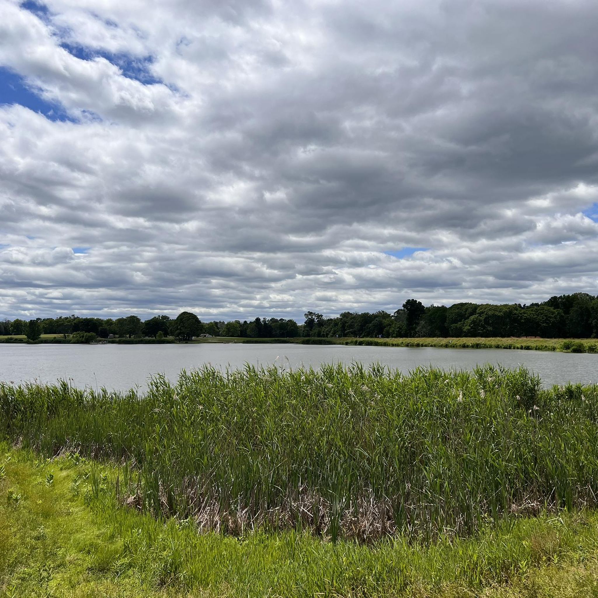
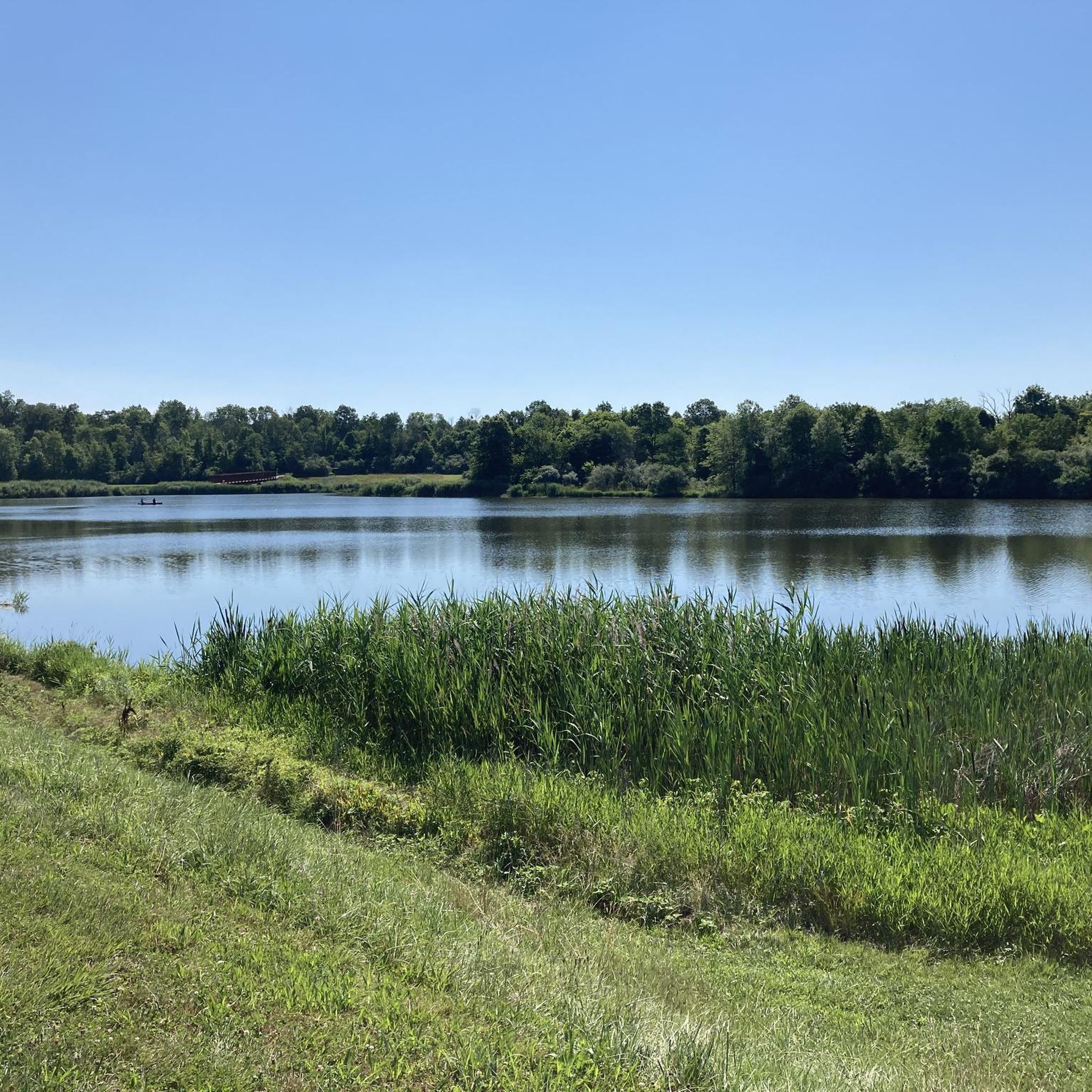
Rosedale Lake, within Mercer Meadows County Park, is the largest body of water along the Lawrence Hopewell Trail.
0
0
Frequently Asked Questions
How many hiking trails are available in Lawrenceville?
Lawrenceville offers a wide selection of hiking opportunities, with over 60 routes documented on komoot. These trails cater to various preferences, from easy strolls to more moderate hikes.
What are the typical difficulty levels for hiking trails in Lawrenceville?
The hiking trails in Lawrenceville are predominantly easy, with 45 routes classified as such. There are also 15 moderate trails for those seeking a bit more challenge. You won't find any difficult routes in the immediate area, making it suitable for most fitness levels.
Are there family-friendly hiking options in Lawrenceville?
Yes, Lawrenceville is home to several parks with trails perfect for families. Parks like Tribble Mill Park and Rhodes Jordan Park offer scenic walking trails and green spaces. Many of the easy routes, such as the Lawrence Hopewell Trail: Pole Farm Loop, are suitable for all ages.
Can I bring my dog on the hiking trails in Lawrenceville?
Many parks in Lawrenceville, including Tribble Mill Park and Harbins Park, are generally dog-friendly, often requiring dogs to be on a leash. It's always a good idea to check specific park regulations before you go, but you'll find plenty of opportunities to hike with your canine companion.
Are there circular hiking routes available in Lawrenceville?
Yes, several circular routes are available, offering convenient options for hikers. For example, the Lawrence Hopewell Trail: Pole Farm Loop is an easy 4.6-mile loop that navigates through varied parkland. Another option is the Lawrence Hopewell, Bryan Farm, Maidenhead Trails Loop, which connects several local farms and natural areas.
What kind of terrain can I expect on Lawrenceville's hiking trails?
Lawrenceville's hiking trails are characterized by gently rolling hills and verdant surroundings. You'll find a mix of wooded paths, multi-use trails, and some paved sections, especially in larger parks like Harbins Park, which features a lovely boardwalk in its newer sections.
Are there any trails with waterfalls near Lawrenceville?
Yes, Little Mulberry Park, located near Lawrenceville, is known for offering several trails, including one that features a waterfall, making it a popular and scenic spot for hikers.
What are some notable landmarks or attractions I can see while hiking in Lawrenceville?
Beyond the natural beauty, you can explore historical sites and unique attractions. Freeman's Mill Park features a historic 19th-century gristmill. For urban exploration, the Dora P. Gunter Heritage Trail meanders through downtown Lawrenceville, featuring medallions honoring local contributors. You can also find highlights like the Washington Crossing Bridge and the Princeton University Campus in the broader region.
What do other hikers enjoy the most about hiking in Lawrenceville?
The hiking routes in Lawrenceville are highly rated by the komoot community, with an average score of 4.3 stars. Hikers often praise the varied terrain, the extensive park systems, and the accessibility of trails for different ability levels.
Are there any trails that offer views of lakes or water features?
Yes, Tribble Mill Park is an excellent choice, featuring picturesque lakes and extensive trails, including a full loop around the lake. The Suwanee Creek Greenway also offers tranquil experiences with boardwalks passing through wetlands, providing glimpses of suburban nature and water features.
What is the best time of year to hike in Lawrenceville?
The spring and fall seasons generally offer the most pleasant hiking conditions in Lawrenceville, with mild temperatures and beautiful foliage. Summers can be warm and humid, while winters are typically mild, allowing for year-round hiking, though some trails might be less shaded in colder months.
Are there options for longer walks or multi-day hikes near Lawrenceville?
While most trails directly within Lawrenceville are shorter, the broader region offers options for longer excursions. The Big Creek Greenway, for instance, is an extensive paved trail spanning 26 miles, connecting several towns and offering opportunities for longer walks and bike rides through woodlands.
Most popular routes around Lawrenceville
Most popular attractions around Lawrenceville

Get inspired with the komoot mobile app


Explore more
Browse the best Hikes in other regions.
