The best walks and hikes around Ashland
4.5
(5)
101
hikers
24
hikes
Hiking around Ashland offers access to diverse natural landscapes, including the foothills of the Siskiyou Mountains and the southern Cascade Range. The region features varied terrain from forested hills to alpine environments, with many trails providing views of prominent peaks and the expansive Rogue Valley. Ashland Creek runs through the city, contributing to serene settings within parks. The area is characterized by a mix of forests, meadows, and geological features.
Best hiking trails around Ashland
- The most popular hiking route…
Last updated: August 17, 2026
4
hikers
6.05km
01:33
20m
20m
Easy hike. Great for any fitness level. Easily-accessible paths. Suitable for all skill levels.
2
hikers
7.32km
01:51
20m
20m
Easy hike. Great for any fitness level. Easily-accessible paths. Suitable for all skill levels.

Sign up for free
2
hikers
2.37km
00:36
10m
10m
Easy hike. Great for any fitness level. Easily-accessible paths. Suitable for all skill levels.
1
hikers
4.10km
01:04
30m
10m
Easy hike. Great for any fitness level. Easily-accessible paths. Suitable for all skill levels.
Easy hike. Great for any fitness level. Easily-accessible paths. Suitable for all skill levels.
Get access to more routes and recommendations from other explorers.
Sign up for free
Already have an account?
Our route recommendations are based on thousands of hikes, rides, and runs completed by other people on komoot.
Start today with a free account
Your next adventure awaits.
Login or Signup



Tips from the Community

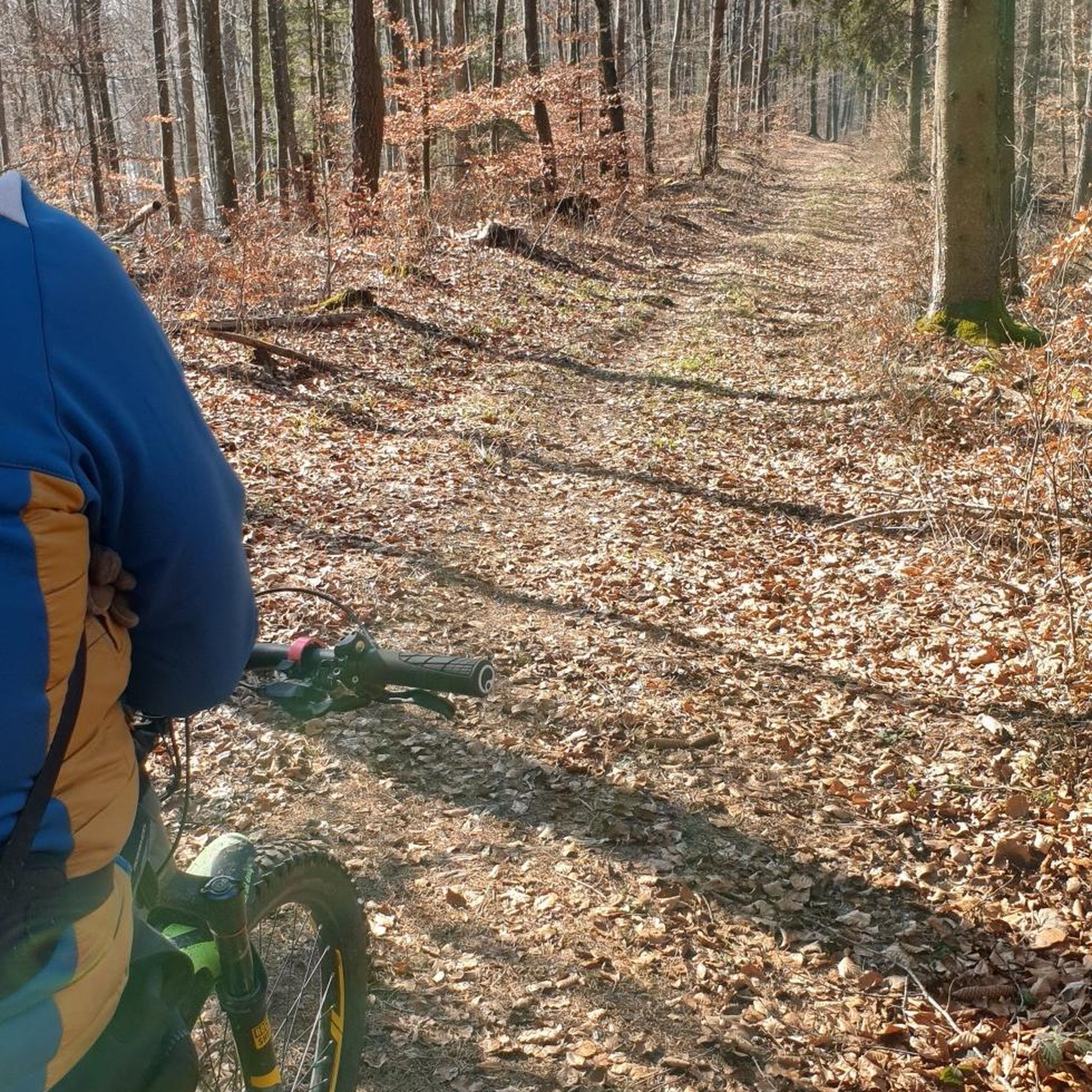
Wallworth Park is a 56-acre park along the Cooper River. It has a lot of green space and is a great place for a walk.
0
0
Frequently Asked Questions
What types of landscapes can I expect to see while hiking around Ashland?
Ashland offers a diverse range of natural landscapes, from the forested foothills of the Siskiyou Mountains and the southern Cascade Range to alpine environments. You'll find trails winding through rich forests, vibrant meadows, and along serene waterways like Ashland Creek. Many routes provide breathtaking panoramic views of prominent peaks such as Mount Shasta, Mount McLoughlin, and Pilot Rock, as well as the expansive Rogue Valley.
Are there many easy hiking options suitable for beginners or casual strolls?
Yes, Ashland is well-suited for easy hikes. The region features numerous accessible park trails and wooded paths with minimal elevation changes. For example, the Cooper River Park loop via Cooper River Trail is an easy 3.7-mile trail with a flat path, perfect for a leisurely walk. Another great option is the Peaceful Partners Trail & Long Path loop, which winds through natural preserves with minimal elevation gain.
What are some popular landmarks or natural features to look out for on Ashland's trails?
Hikers can discover various interesting features. Lithia Park, right in downtown Ashland, is a 90-acre park with a Japanese Garden, duck ponds, and trails alongside Ashland Creek. The region also offers views of geological features like the remnants of the 2002 East Antelope Fire visible from the Burn Viewpoint on Grizzly Peak Trail. You can also explore highlights such as Cooper River Trail and Black Run Preserve.
When is the best time of year to go hiking in Ashland?
Late spring and summer are particularly beautiful for hiking in Ashland. During these months, meadows along trails like Grizzly Peak and Mount Ashland are vibrant with wildflower blooms, including rare species. While the region offers diverse flora and fauna year-round, the warmer months provide optimal conditions for enjoying the full spectrum of natural beauty.
Are there any circular hiking routes available in Ashland?
Yes, Ashland offers several enjoyable circular routes. The Cooper River Park loop is a popular easy option. Another local favorite is the Blueberry Hill loop via Red Trail, which leads through wooded areas. For a slightly longer loop, consider the Haddon Lake Park loop.
What do other hikers say about the trails in Ashland?
The hiking routes in Ashland are highly rated by the komoot community, with an average score of 4.5 stars from over 5 reviews. Hikers often praise the accessibility of the trails, the serene natural settings, and the variety of options for different ability levels, particularly the easy to moderate experiences.
Are there any challenging hikes for experienced hikers near Ashland?
While most routes in the immediate guide are easy, the broader Ashland area, particularly in the Siskiyou Mountains, offers more challenging options. For instance, the Wagner Butte Trail is a 9.4-mile hike with significant elevation gain, rewarding experienced hikers with expansive views of Mount Shasta, Mount McLoughlin, and the Rogue Valley. The Pilot Rock Trail also presents a challenging rock climbing experience for the most adventurous.
Can I access any sections of the Pacific Crest Trail from Ashland?
Yes, Ashland provides convenient access to sections of the Pacific Crest Trail (PCT). The Grouse Gap Trail, for example, connects to the PCT, offering opportunities for both day hikes and multi-day adventures. Hikers can explore sections with chest-high wildflowers or dense evergreen forests along this world-famous route.
What are the options for public transport to trailheads around Ashland?
While specific public transport routes directly to all trailheads can vary, Ashland has a local transit system. For detailed information on routes and schedules that might connect to trail access points, it's best to consult the local transit authority's website or information centers in Ashland.
Are there any trails suitable for families with children?
Absolutely. Lithia Park in downtown Ashland is an excellent choice for families, offering easy to moderate hikes, including a 2.1-mile loop with features like a Japanese Garden and duck ponds. The Cooper River Park loop is another easy, flat path suitable for all ages.
Where can I find information about parks and trails managed by the city of Ashland?
For information regarding parks and trails managed by the city of Ashland, including details on facilities and regulations, you can visit the official city website: ashlandoregon.gov/593/Parks-Trails.
Most popular routes around Ashland
Most popular attractions around Ashland

Get inspired with the komoot mobile app


Explore more
Browse the best Hikes in other regions.
