The best road cycling routes around Summit
4.7
(63)
1,507
riders
26
rides
Road cycling around Summit offers a diverse network of paved recreational paths and varied terrain. The region is characterized by local landscapes and features like ponds and green valleys. Cyclists can expect routes that traverse suburban and natural areas, with some elevation changes.
Best road cycling routes around Summit
- The most popular road cycling route is Green Valley round – Jolie Cafe loop from Summit, a 27.8 miles (44.8 km) trail that takes 1 hour 58 minutes to complete. This route offers gentle gradients suitable for a relaxed ride.
- Another top favourite among local road cyclists is Osborn Pond – Green Valley round loop from Summit, a moderate 32.0 miles (51.6 km) path. It features varied terrain with some elevation changes.
- Local road cyclists also love the Whitebridge Road loop from Summit, a 22.2 miles (35.8 km) trail leading through local landscapes, often completed in about 1 hour 29 minutes.
- Road cycling around Summit is defined by paved recreational paths, local ponds, and green valleys. The network offers options for various ability levels, from easy loops to moderate climbs.
- The routes in Summit are highly rated by the komoot community with an average score of 4.5 stars from over 45 reviews. More than 1000 road cyclists have used komoot to explore Summit's varied terrain.
Last updated: October 19, 2026
5.0
(6)
87
riders
51.3km
02:08
270m
270m
Moderate road ride. Good fitness required. Mostly well-paved surfaces and easy to ride.
16
riders
36.2km
01:30
210m
210m
Easy road ride. Great for any fitness level. Mostly well-paved surfaces and easy to ride.

12
riders
32.0km
01:42
380m
380m
Moderate road ride. Good fitness required. Mostly well-paved surfaces and easy to ride.
20
riders
26.7km
01:14
290m
290m
Easy road ride. Great for any fitness level. Mostly well-paved surfaces and easy to ride.
10
riders
24.1km
01:16
230m
230m
Easy road ride. Great for any fitness level. Mostly well-paved surfaces and easy to ride.
Get access to more routes and recommendations from other explorers.
Already have an account?
Our route recommendations are based on thousands of hikes, rides, and runs completed by other people on komoot.
Start today with a free account
Your next adventure awaits.
Popular around Summit
Tips from the Community

Closed dusk till dawn. Nice low traffic stretch along the ridge line with many nice spots to stop and take in the views, though they are a bit obstructed by the tree line. Its particularly fantastic in autumn. A rewarding mostly flat segment to enjoy the fruits of the climb even if you don't stop.
0
0
really nice vibe, though don't count on riding though the blue trail, its still can be nice to visit just for the views
0
0

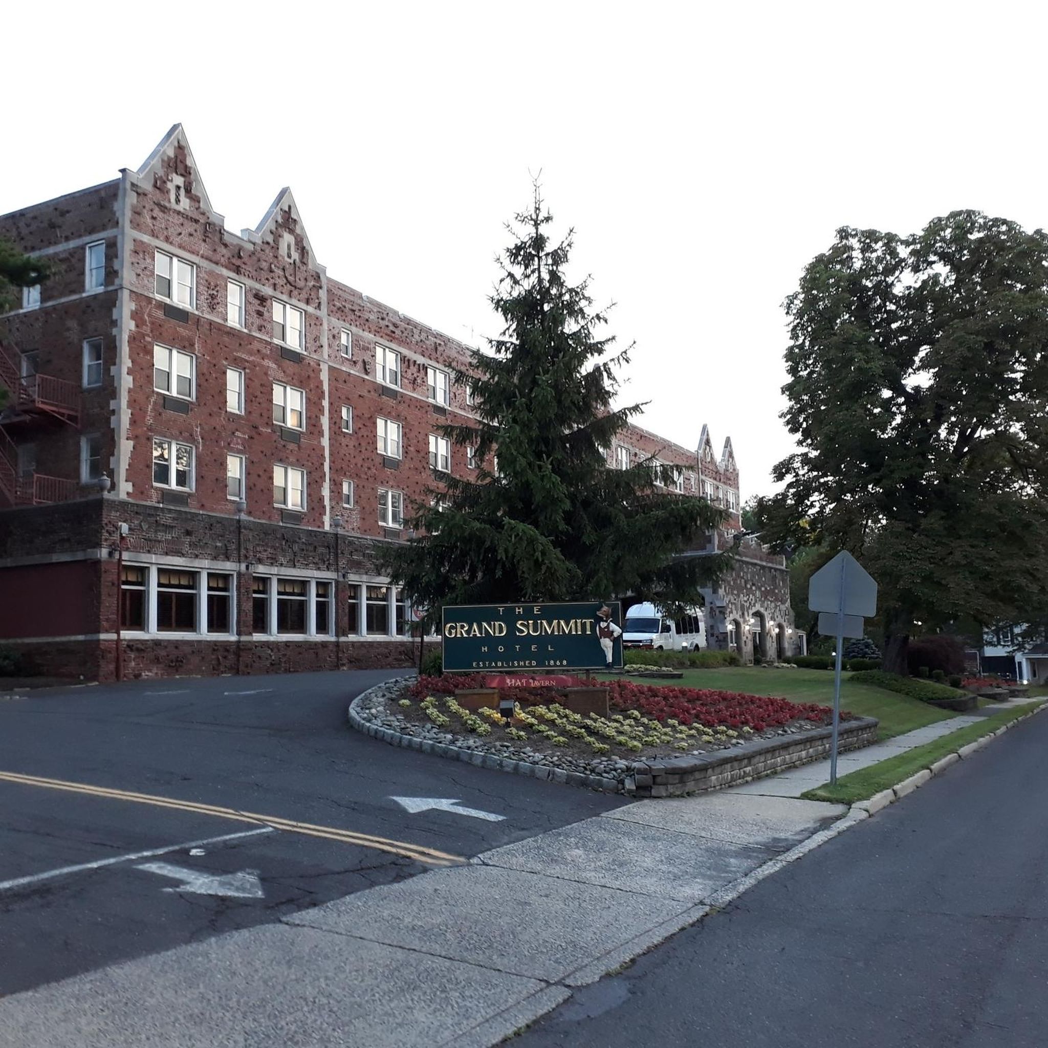
This little coffee shop closes fairly early — usually around 4pm on weekdays, and 2:30pm on weekends. They have a nice selection of drinks, including a juice bar and a latte that features blue spirulina.
0
0
This is a piece of a popular road ride, also known as the Chatham Loop, that's generally pretty easy to accomplish.
0
0

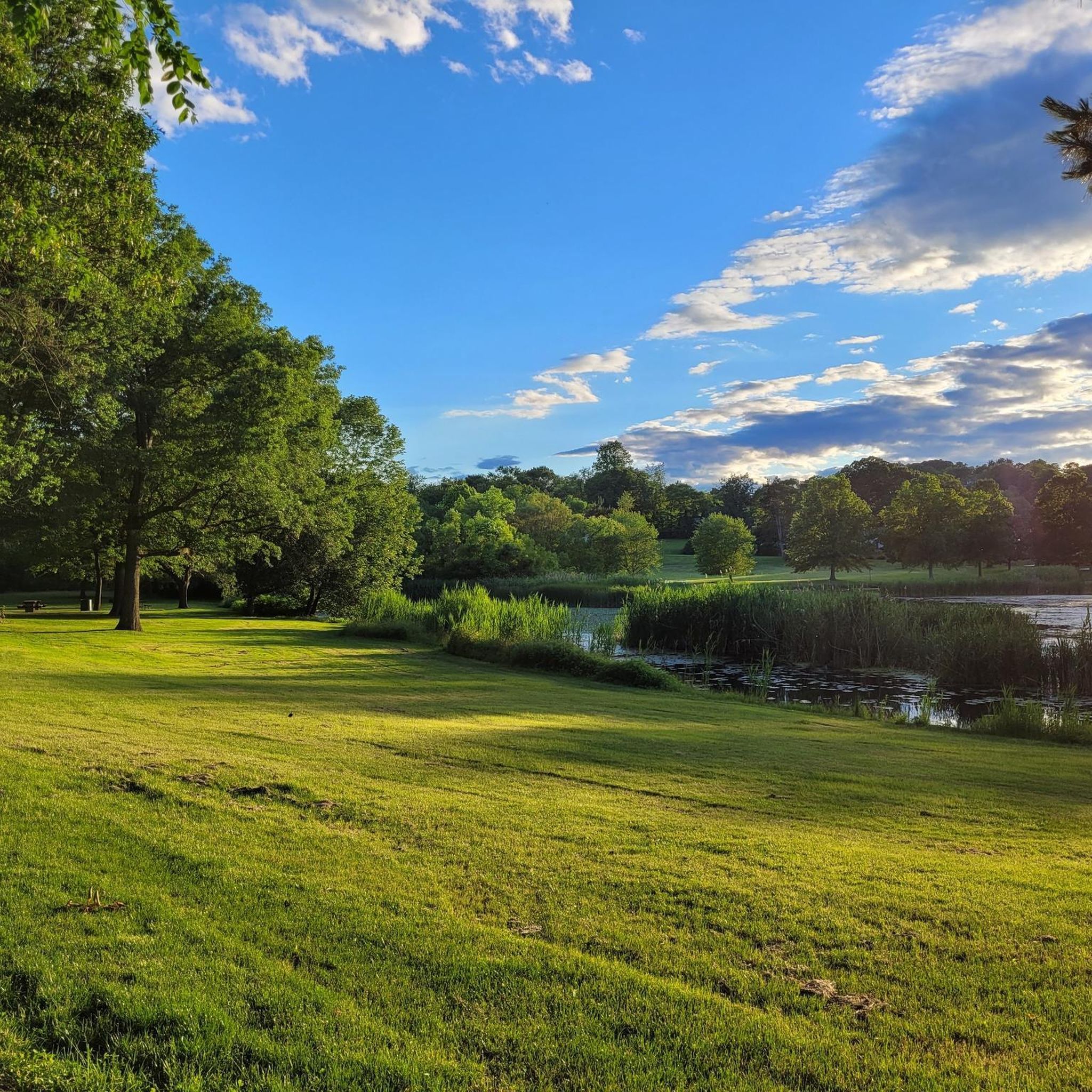
Mindowaskin Park is a tranquil, 12.5 acre suburban park. This is a popular place to finish a ride and relax on a bench by the pond in the center of the park.
1
0

This point has one of the best views in the entire park, offering vistas of the New York skyline, Newark, and Jersey City. With a bit of effort, you can even spot some of New York's most iconic buildings, such as the Empire State Building.
0
0

South Mountain Reservation is a nature reserve that spans 2,112-acres along the Rahway River. This park is known for its hardwood forests, waterfalls, and creeks. It is also famed for its vistas of New York and New Jersey at the higher points within the park.
0
0

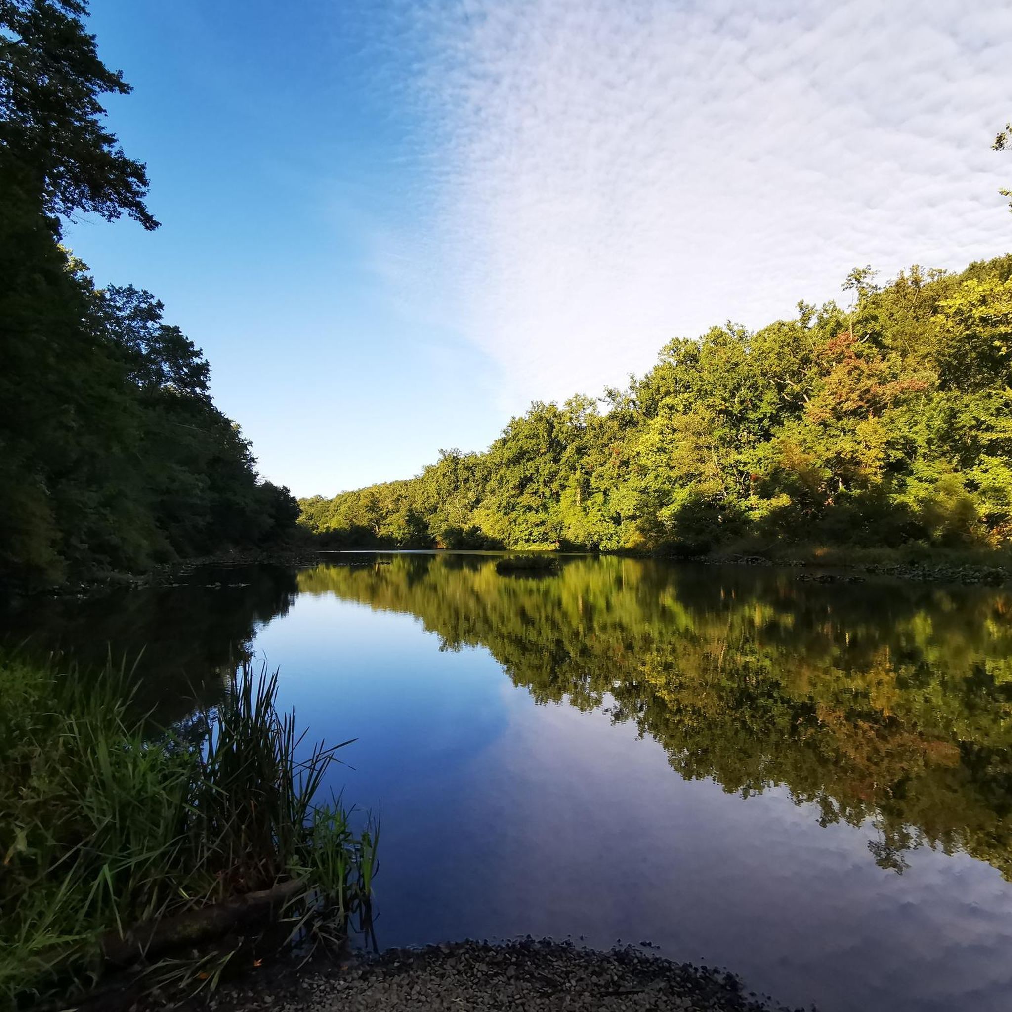
Enjoy an exhilarating downhill ride through scenic swampy lands, immersing yourself in the natural beauty of this refuge. The route offers a unique and picturesque biking experience through diverse landscapes.
0
0
Frequently Asked Questions
How many road cycling routes are available in Summit County?
Summit County offers a diverse network of road cycling routes. You can find around 30 routes on komoot, ranging from easy scenic rides to challenging mountain passes. This includes over 55 miles of the paved Summit County Recreational Pathway system.
What are some challenging road cycling routes in Summit County?
For experienced cyclists seeking a challenge, Summit County features several demanding mountain passes. Loveland Pass, at 11,990 feet, offers dramatic alpine scenery and panoramic views with challenging climbs up to a 9% grade. Hoosier Pass, reaching 11,542 feet on the Continental Divide, also provides stunning vistas. The classic 80-mile Copper Triangle loop traverses four mountain climbs and three mountain villages, showcasing expansive mountain scenery.
Are there any easy or family-friendly road cycling routes in Summit County?
Yes, Summit County caters to all skill levels. The paved Summit County Recreational Pathway system connects towns like Breckenridge, Frisco, Dillon, Silverthorne, and Keystone, offering many leisurely options. The Green Valley round – Jolie Cafe loop from Summit is an easy 27.8-mile trail with gentle gradients, perfect for a relaxed ride. The Whitebridge Road loop from Summit is another easy option, covering 22.2 miles through local landscapes.
What kind of natural features and landmarks can I see along the road cycling routes?
Road cycling in Summit County offers breathtaking natural beauty. Many routes feature views of Lake Dillon, a prominent high mountain lake, and traverse sections of the Continental Divide. You'll also encounter impressive mountain ranges like the Gore Range and Tenmile Range. Keep an eye out for the Sapphire Point Overlook for stunning panoramic views of the ranges and Lake Dillon, or explore Mayflower Gulch for its rugged peaks and historic mining remnants.
When is the best time of year for road cycling in Summit County?
The mild temperatures in summer and fall make these seasons ideal for road cycling in Summit County. During these months, you can enjoy comfortable riding conditions and vibrant landscapes, including alpine meadows adorned with wildflowers along routes like Boreas Pass.
Are there any loop routes available for road cycling?
Yes, Summit County has several excellent loop routes. The Dillon Reservoir Recpath Loop is a moderate 32.7-kilometer (20.3-mile) ride offering great mountain and lake views around Lake Dillon. The Jolie Cafe – Osborn Pond loop from Summit is another popular moderate 32.0-mile path with varied terrain. For a longer challenge, the Copper Triangle is a classic 80-mile loop.
What are the typical elevation gains on road cycling routes in Summit County?
Summit County's high-elevation terrain means many routes involve significant climbing. Passes like Loveland Pass reach 11,990 feet and Hoosier Pass 11,542 feet, offering challenging ascents. Even moderate routes like the Brookside Drive – Washington Rock loop from Summit can have over 370 meters (1,200 feet) of elevation gain, providing a good workout with rewarding views.
What do other cyclists say about road cycling in Summit County?
The road cycling experience in Summit County is highly rated by the komoot community, with an average score of 4.5 stars from over 39 reviews. Cyclists often praise the diverse network of paved recreational paths, the challenging mountain passes, and the stunning views of Lake Dillon and the surrounding mountain ranges.
Are there any routes that pass through forests or offer shaded sections?
Many routes in Summit County traverse or offer views of the expansive Arapaho National Forest, providing a mix of open mountain vistas and forested sections. While specific routes vary, the presence of the forest ensures opportunities for shaded riding, especially on paths that wind through lower elevations or along river corridors.
Where can I find parking for road cycling routes in Summit County?
The towns within Summit County, such as Breckenridge, Frisco, Dillon, and Silverthorne, serve as convenient hubs with access to the cycling network. These towns typically offer public parking facilities that can be used as starting points for various routes. Specific parking details often depend on the chosen route's trailhead or access point.
Can I access road cycling routes using public transport in Summit County?
Summit County has a robust free public transportation system, Summit Stage, which connects the main towns and resorts. While specific bike transport policies can vary, this system can often help cyclists access different parts of the extensive recreational pathway network, allowing for one-way rides or reaching trailheads without a car.
Most popular routes around Summit
Most popular attractions around Summit

Get inspired with the komoot mobile app


Explore more
Browse the best Road cycling routes in other regions.
