The best road cycling routes around Spring Valley
4.6
(34)
1,776
riders
59
rides
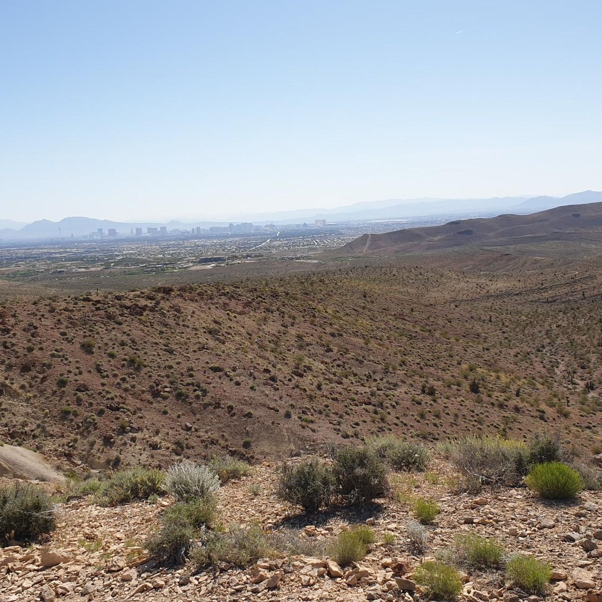
Road cycling around Spring Valley, particularly in the Nevada region, features a high desert ecosystem characterized by pinyon pine, Utah juniper, and big sagebrush. The landscape includes dramatic volcanic tuff formations and elevations ranging from 4,200 to over 5,500 feet. This terrain provides varied road cycling routes with notable elevation changes and scenic backdrops.
Best road cycling routes around Spring Valley
- The most popular road cycling route is Highway 159 (Red Rock Canyon Road) loop from the Bears Best Trailhead…
Last updated: October 13, 2026
4.5
(2)
149
riders
57.8km
02:40
500m
500m
Moderate road ride. Good fitness required. Mostly well-paved surfaces and easy to ride.
5.0
(2)
43
riders
134km
05:59
1,120m
1,120m
Hard road ride. Very good fitness required. Mostly well-paved surfaces and easy to ride.

5.0
(2)
37
riders
88.2km
04:11
1,000m
1,000m
Hard road ride. Very good fitness required. Mostly well-paved surfaces and easy to ride.
36
riders
43.3km
02:20
360m
360m
Moderate road ride. Good fitness required. Mostly well-paved surfaces and easy to ride.
21
riders
31.4km
01:32
270m
270m
Easy road ride. Great for any fitness level. Mostly well-paved surfaces and easy to ride.
Get access to more routes and recommendations from other explorers.
Already have an account?
Our route recommendations are based on thousands of hikes, rides, and runs completed by other people on komoot.
Start today with a free account
Your next adventure awaits.
Tips from the Community

Several good groups to ride with depending on your pace!
0
0

Downtown Summerlin is just south of the Red Rock Resort and Casino is a great outdoor shopping and dining complex with numerous restaurants and cafés, as well as one of the best farmers markets in Vegas every Saturday. This is also where the popular Tour de Summerlin bike race and half-marathon begins and ends.
1
0
Downtown Summerlin is just south of the Red Rock Resort and Casino is a great outdoor shopping and dining complex with numerous restaurants and cafes, as well as one of the best farmers markets in Vegas every Saturday. This is also where the popular Tour de Summerlin bike race and half marathon begins and ends.
0
0
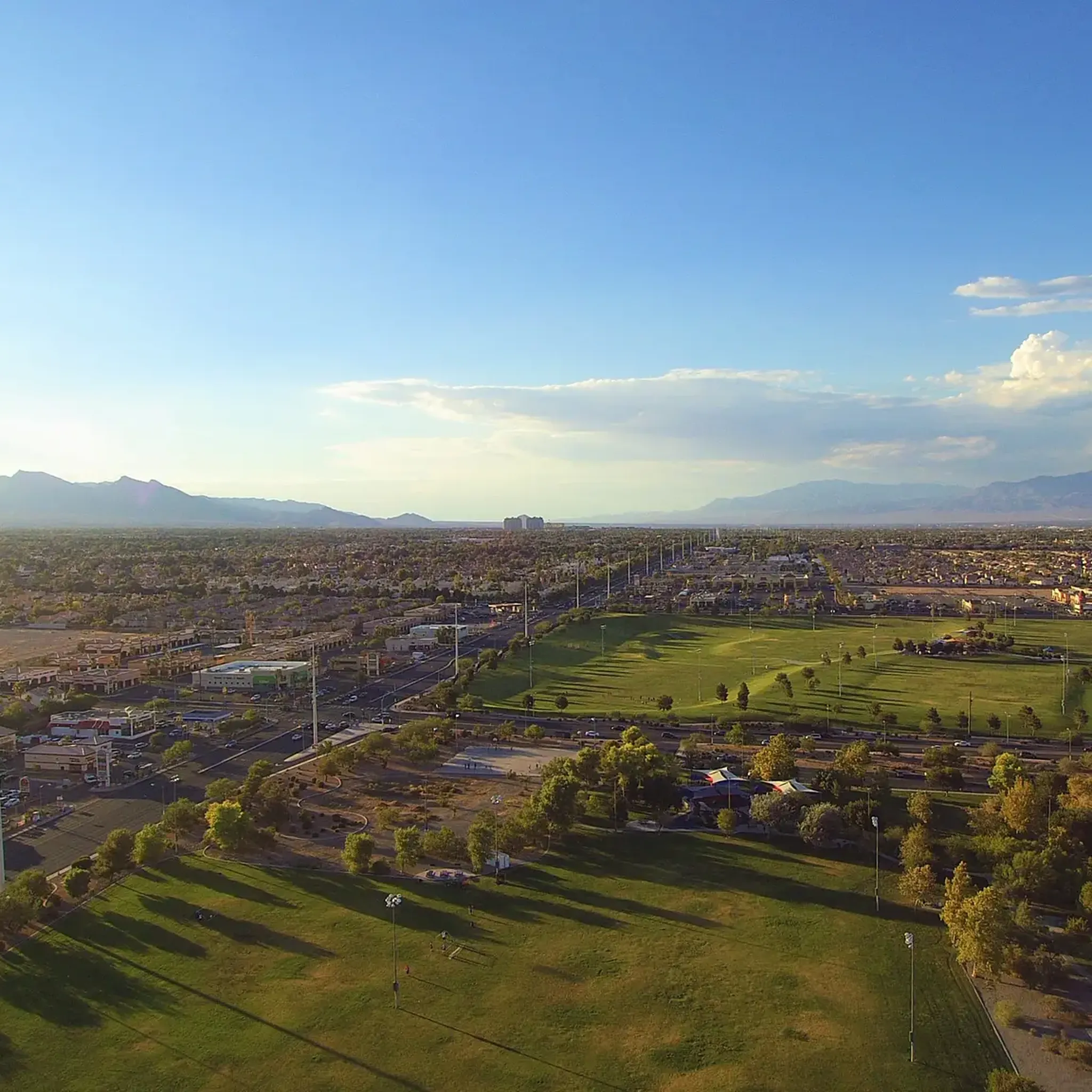
Mesa Park is a large, 19-acre park in Summerlin South. There are bathrooms, a playground, two tennis courts, three softball/baseball fields, a full-sized basketball court, covered picnic/BBQ areas, and parking. This park is where many park to access the extensive Bears Best Trail System, but is also a good place to park and begin a road cycling adventure on the west side of town.
1
0
Calico Basin Road is a residential road that takes you to the far northeastern part of Red Rock Canyon National Conservation Area that includes Calico Basin/ Red Springs and Kraft Mountain. The road ends at Kraft Mountain, a popular hiking and rock climbing area. There are no bathrooms at the Kraft trailhead, so if you need to use one you need to backtrack to the Red Springs Picnic Area, which is a mile in from the highway on Calico Basin Road.
0
0
The First Pullout (or Calico I) is the first parking area on the Red Rock Canyon Conservation Area Scenic Loop. There is a large viewing area here with several benches, informational signs, and a pit toilet. The Calico Hills were once a part of one of the largest dune fields ever to form on earth over 180 million years ago. What remains of these lithified dunes are some of the most famous features in the park; the striking Aztec sandstone formations make for great photos and even greater hiking and scrambling. From this parking lot you can access several trails and some of the most famous rock climbing crags in the area.
0
0
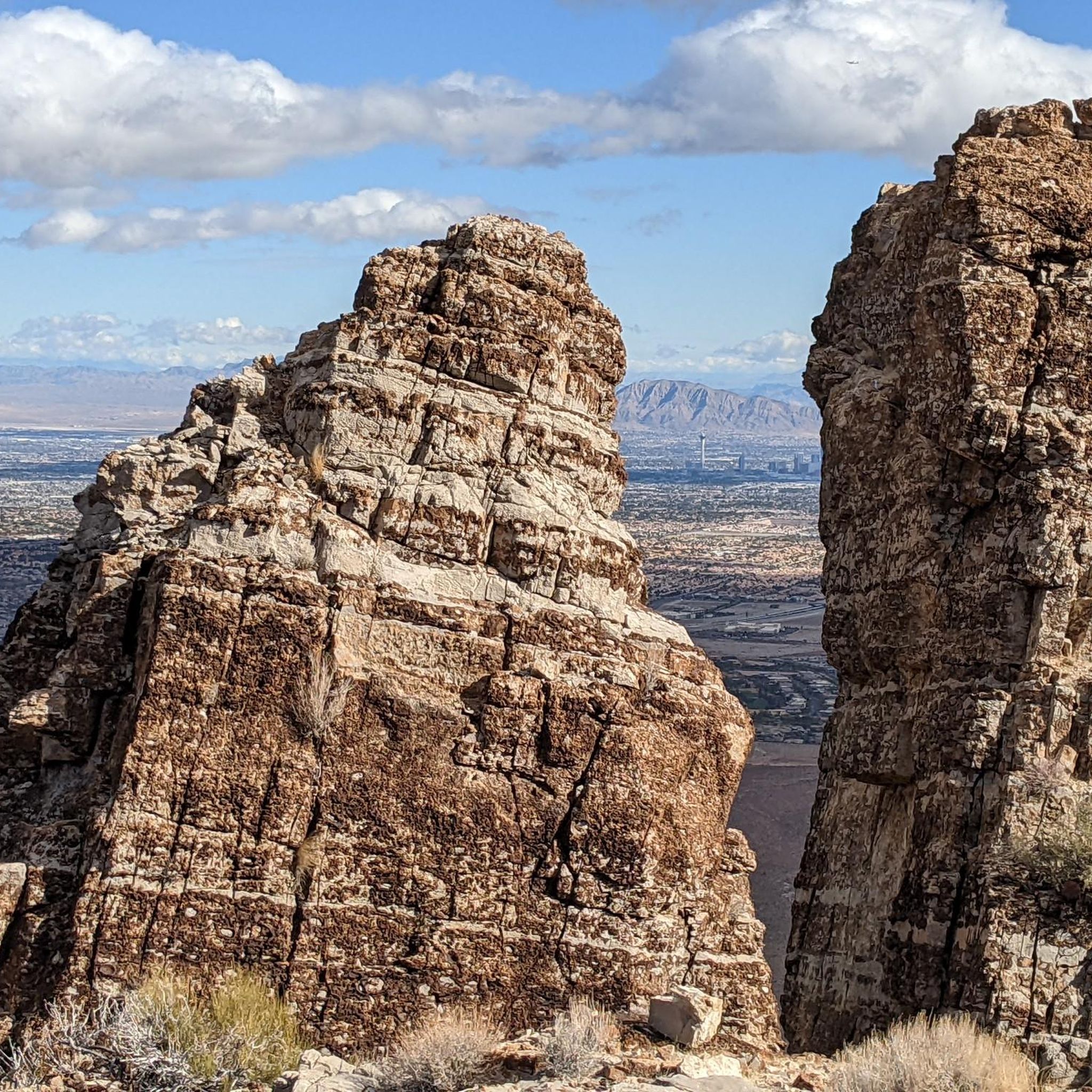
The High Point Overlook, as the name implies, is the highest point on the one-way Scenic Loop. Once you hit this point, the majority of the major climbing is done, so this is a great place to pause, grab a sip of water, and admire the stunning views!
0
0
Fantastic place to grab anything from a coffee and pastry in the moring to a pizza and beer in the evening! A hidden gem and local favorite in Blue Diamond right next to the Trek MTB rental store.
0
0
Frequently Asked Questions
How many road cycling routes are available in Spring Valley?
There are over 60 road cycling routes around Spring Valley, offering a diverse range of experiences. These routes are highly rated by the komoot community, with an average score of 4.8 stars from over 24 reviews.
What kind of terrain can I expect on road cycling routes in Spring Valley?
Road cycling in Spring Valley, particularly in the Nevada region, features a high desert ecosystem. You'll encounter landscapes characterized by pinyon pine, Utah juniper, and big sagebrush, with dramatic volcanic tuff formations. Elevations range from 4,200 to over 5,500 feet, providing varied routes with notable elevation changes and scenic backdrops.
Are there challenging road cycling routes in Spring Valley?
Yes, Spring Valley offers routes with significant elevation gains for those seeking a challenge. For example, the Red Rock Canyon Scenic Drive – Red Rock Canyon Overlook loop from Summerlin South is a moderate route covering 72.6 km with an elevation gain of over 850 meters.
Are there any easier road cycling routes for beginners?
Yes, out of the over 60 routes, 21 are classified as easy, making them suitable for beginners or those looking for a more relaxed ride. These routes typically feature less elevation gain and shorter distances.
What are some scenic viewpoints or natural features to look out for while cycling?
While cycling in the Spring Valley, Nevada area, you'll experience stunning high desert landscapes. Routes often offer views of the Red Rock Canyon area, volcanic rock formations, and juniper woodlands. The region is also home to the 59-acre Eagle Valley Reservoir, which is popular for its valley views and attracts various waterfowl.
What is the best time of year to go road cycling in Spring Valley?
The Spring Valley, Nevada region experiences hot, dry summers and crisp, snowy winters. For road cycling, spring and fall generally offer the most pleasant temperatures, avoiding the extreme heat of summer and potential snow or colder conditions in winter.
Are there any loop routes available for road cyclists?
Yes, many road cycling routes in Spring Valley are loops. A popular example is the Highway 159 (Red Rock Canyon Road) loop from the Bears Best Trailhead, a moderate 57.8 km route offering views of the Red Rock Canyon area.
What kind of attractions are near the road cycling routes in Spring Valley?
Beyond the natural beauty, Spring Valley is close to several unique attractions. You can find man-made monuments like the Fountains of Bellagio, Caesars Palace Hotel & Casino, and the Eiffel Tower replica at Paris Las Vegas. There's also the The Mirage Hotel & Casino Waterfall.
What do other road cyclists enjoy most about the routes in Spring Valley?
The area is highly rated by the komoot community, with an average score of 4.8 stars. Reviewers often praise the diverse high desert landscapes, the challenging elevation changes, and the scenic backdrops provided by the volcanic rock formations and juniper woodlands.
Are there any long-distance road cycling routes in the area?
Yes, Spring Valley offers several longer routes. For instance, the Red Rock Canyon Scenic Drive – Red Rock Canyon Overlook loop from Summerlin South spans 72.6 km, providing a substantial ride through the region's unique scenery.
Can I find routes that are suitable for sustained efforts?
Absolutely. The Western Beltway Trail is a moderate 43.3 km path that provides a consistent ride along the Western Beltway, ideal for sustained efforts and training.
Most popular attractions around Spring Valley

Get inspired with the komoot mobile app


Explore more
Browse the best Road cycling routes in other regions.
