The best walks and hikes around Mogul
4.6
(22)
416
hikers
68
hikes
Hikes around Mogul Nevada are set in the foothills of the Sierra Nevada mountains, offering a mix of riverfront paths and routes with moderate elevation gain. The landscape is primarily characterized by trails following the Truckee River and ascending into the surrounding hills. This provides a variety of terrain suitable for different hiking abilities, from gentle riverside walks to more challenging ascents.
Best hiking trails around Mogul
- The most popular hiking route is Hunter's Creek Waterfall from Donner Springs —…
Last updated: October 15, 2026
2
hikers
4.21km
01:10
80m
50m
The Tom Cooke and Steamboat Ditch Loop offers a delightful blend of natural beauty and historical intrigue, right on Reno's doorstep. You'll traverse mixed terrain, from dirt paths with switchbacks…
1.40km
00:23
0m
80m
Embark on the Silver Willow Trail for an easy hike that covers 0.9 miles (1.4 km). This short route features no elevation gain, making it a smooth and accessible path…

4.3
(4)
20
hikers
10.6km
02:59
220m
220m
Hike the moderate 6.6-mile Tom Cooke and Steamboat Ditch Loop Trail near Reno, featuring city views, historic ditches, and an Airmail Arrow.
4.3
(3)
20
hikers
7.46km
02:05
140m
140m
Hike the moderate 4.6-mile Tom Cooke and Steamboat Ditch Loop in Mayberry Park, featuring historical sites and scenic views near Reno.
7
hikers
4.91km
01:23
100m
110m
Hike the easy 3.1-mile Tom Cooke and Steamboat Ditch Loop in Mayberry Park, enjoying Reno views, desert scenery, and historic landmarks.
Get access to more routes and recommendations from other explorers.
Already have an account?
Our route recommendations are based on thousands of hikes, rides, and runs completed by other people on komoot.
Start today with a free account
Your next adventure awaits.

Tips from the Community

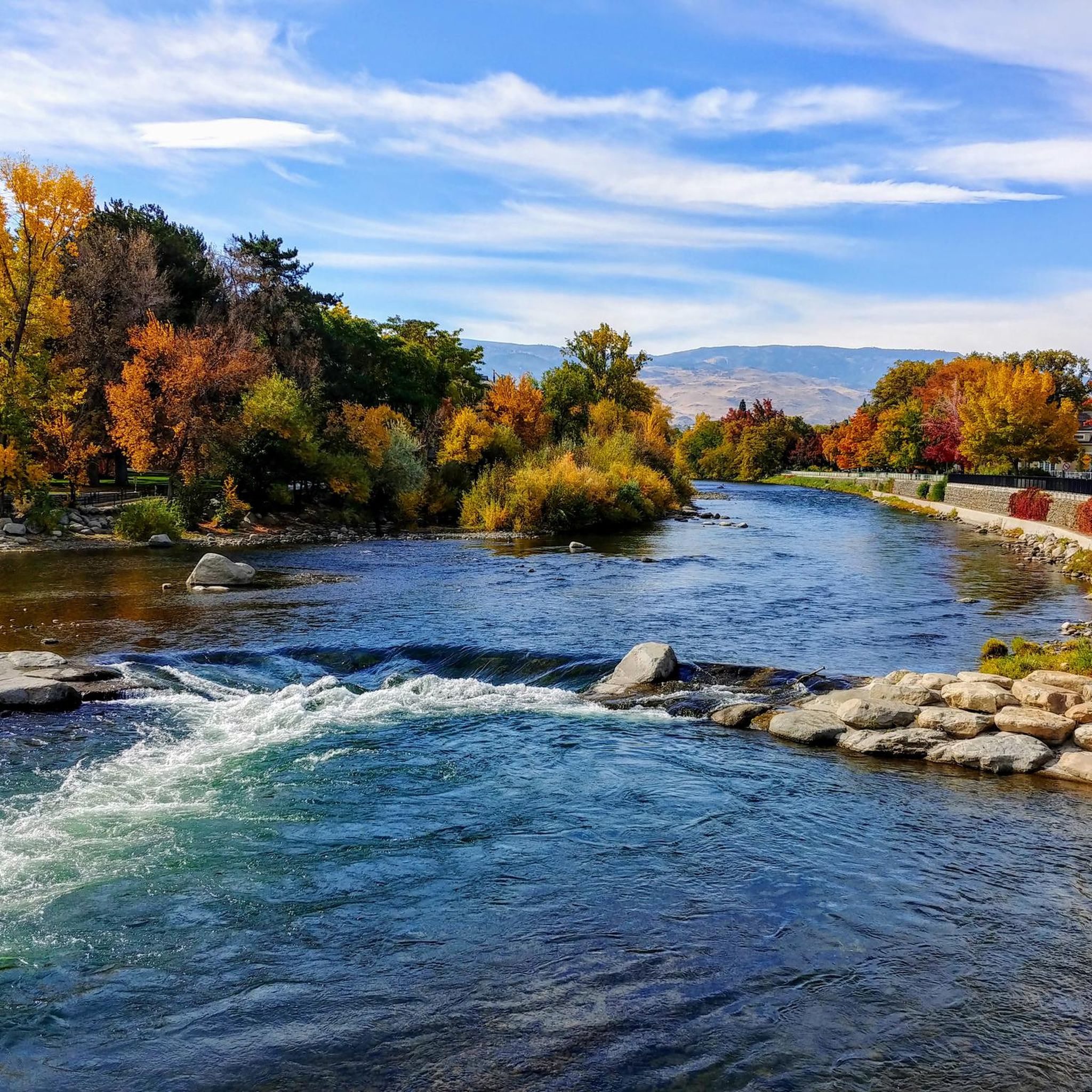
Really cool bridge across the Truckee river. There's picnic tables just off the bridge in a nice shaded area. You can access the river here as well which is a great way to cool off in the summer. The colors in the fall are stunning as well!
1
0
This popular riverside park has a wide paved path, river access, and many more trails across the river leading to Steamboat Ditch & beyond. Mayberry Park also lies along the Tahoe to Pyramid Cycleway which connects the two lakes while mostly paralleling the Truckee River.
0
0
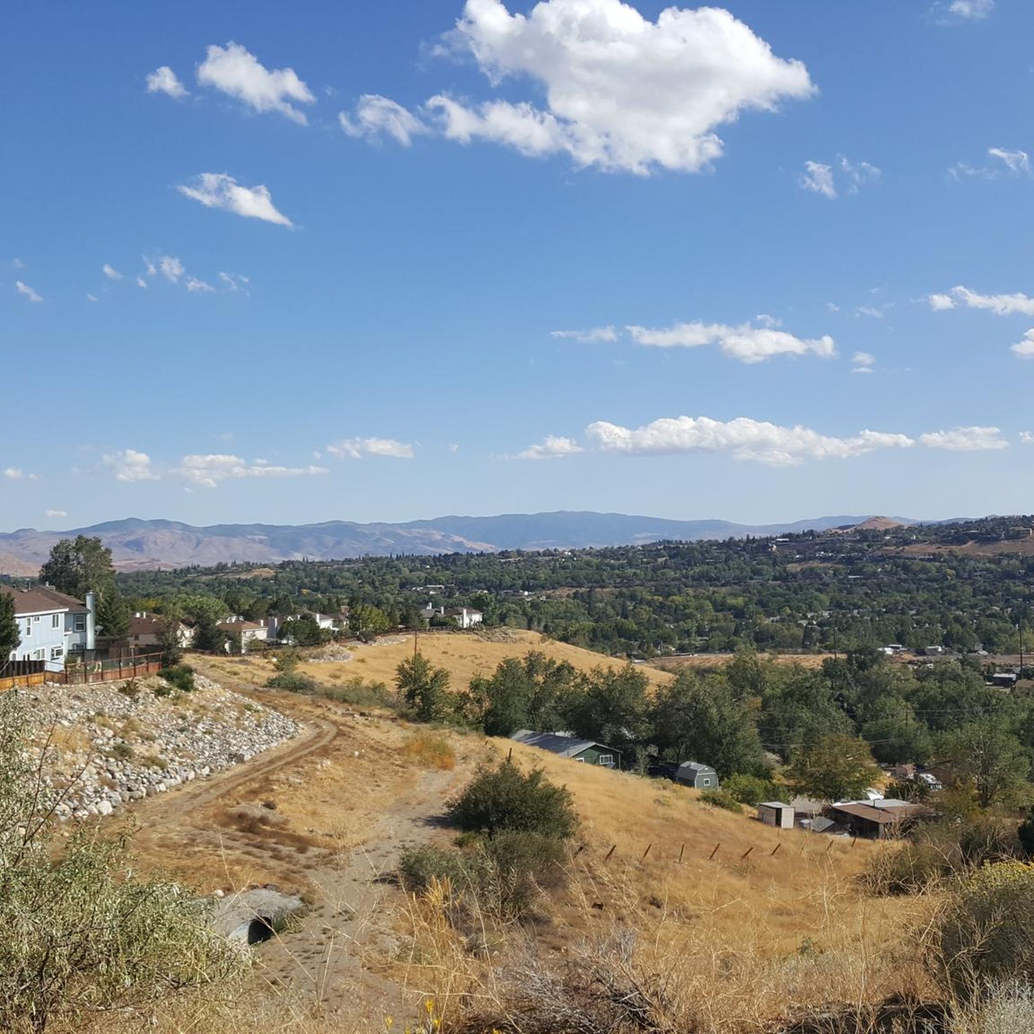
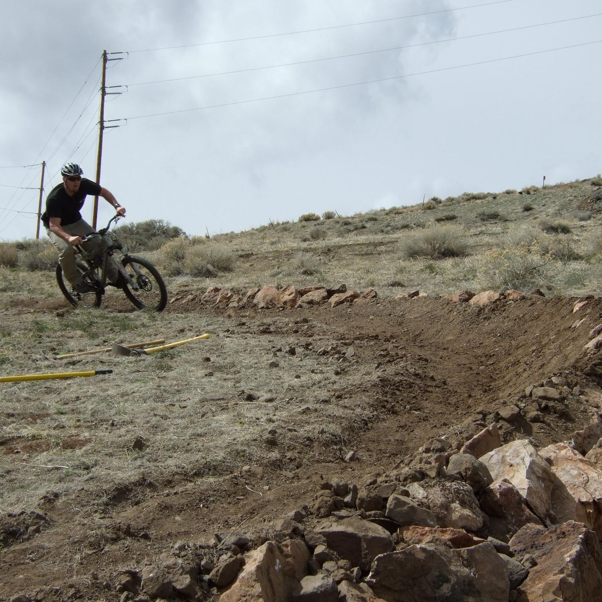
The Tom Cooke Trail connect Mayberry Park with the Steamboat Ditch Trail. It can be accessed by bike but there are some steep technical sections that may be walk-a-bike depending on the bike you're riding. Great views of Peavine and the Truckee River.
0
0
Really cool bridge across the Truckee river. There's picnic tables just off the the bridge in a nice shaded area. You can access the river here as well which is a great way to cool of in the summer. The colors in the fall are stunning as well!
1
0
Great destination for a hike or bike along the Steamboat Ditch Trail. Nearby trees provide shade in the summer but the area can be icy/snowy in winter.
1
0

This piece of Reno history remains as evidence of the Air Mail Age prior to radio. The pilots relied on the arrows and beacon to get their bearings when traveling across the country.
2
0
This spot serves as an access point to the Tom Cooke Trail, which leads to Mayberry Park on the Truckee River. It also accesses the Steamboat Ditch that can take you along the ridge East or West. West is more common though as it leads to the Hole in the Wall. It’s an excellent spot to take a break and enjoy the views before continuing on with your adventure!
0
0
Frequently Asked Questions
Are there any waterfall hikes near Mogul?
Yes, the area features a very popular trail that leads to a waterfall. The hike to Hunter's Creek Waterfall is a moderately strenuous route that rewards you with a view of a 30-foot cascade. The trail follows the creek and involves some stream crossings.
What are some good easy hikes for families near Mogul?
For a gentle and family-friendly outing, the Tom Cooke Steamboat Ditch loop is an excellent choice. It's a relatively short walk with minimal elevation gain, making it suitable for all ages. The nearby Oxbow Nature Study Area also offers a simple one-mile loop perfect for wildlife viewing with children.
Are dogs allowed on the hiking trails?
Most trails in the Mogul area are dog-friendly, but they generally require your dog to be on a leash. Trails like the Tom Cooke Trail and Hunter Creek Trail are popular with dog owners. Always check specific park or trailhead signage for the most current regulations before you start your hike.
What are the hiking conditions like in winter?
Winter hiking is possible on many lower-elevation trails, but conditions can be variable. Trails may have snow, ice, or mud, so proper footwear with good traction is essential. Higher elevation routes, like those in the Mount Rose Wilderness, will be snow-covered and require snowshoes or cross-country skis.
Where can I find trails along the Truckee River?
Several trails offer scenic walks along the Truckee River. The Truckee River & Air Mail Arrow loop combines riverside paths with ascents into the nearby hills. Mayberry Park also serves as a great starting point for several riverfront trails.
Are there many circular or loop trails available?
Yes, there are numerous loop trails that allow you to enjoy a varied hike without backtracking. A great example is the Mayberry Park to Hole In The Wall loop, which offers a diverse experience through the park and along the ditch trail.
How difficult are the hikes around Mogul?
The region offers a good balance for different fitness levels. There are 22 easy trails, perfect for beginners or a relaxed walk, and 16 moderate routes that provide more of a challenge. For experienced hikers, there are also 2 difficult trails that involve significant elevation gain.
What should I pack for a day hike in the Mogul area?
For any hike, bring plenty of water, especially as many trails are sun-exposed. Sunscreen, a hat, and sunglasses are crucial. Wear sturdy hiking shoes. The weather can change quickly, so packing layers is always a good idea. For longer routes, bring snacks or a packed lunch.
What do other hikers think of the trails in Mogul?
The trails around Mogul are highly regarded by the komoot community, with an average rating of 4.5 out of 5 stars. Hikers often praise the variety of terrain, from the peaceful paths along the Truckee River to the rewarding views from the foothill ascents.
How many hiking trails are there around Mogul?
You can explore over 40 different hiking routes around Mogul. The network includes everything from short, easy walks to more demanding all-day hikes, ensuring there's a trail for every type of adventurer.
Are there any challenging, high-elevation hikes?
Yes, for a more strenuous adventure, you can head into the nearby Mount Rose Wilderness. The hike to the summit of Mount Rose is an advanced 12-mile round trip with significant elevation gain, offering panoramic views of Lake Tahoe and the surrounding valleys.
Where can I find a longer, more moderate hike?
If you're looking for a longer trail with moderate difficulty, the Steamboat Ditch Trail to Hole In The Wall is a great option. At over 8 miles, it provides a sustained hike with beautiful scenery and manageable climbs.
Most popular routes around Mogul
Most popular attractions around Mogul

Get inspired with the komoot mobile app


Explore more
Browse the best Hikes in other regions.
