The 9 Most Amazing Peaks around Heimbuchenthal
Best mountain peaks around Heimbuchenthal are primarily found within the Spessart region, characterized by its wooded elevations. While Heimbuchenthal itself is not known for prominent peaks, the surrounding area offers various viewpoints and the highest points of the Spessart. These locations provide opportunities for exploring the natural landscape and offer scenic vistas. The region's terrain is suitable for hiking, with several trails leading to these elevated spots.
Best mountain peaks around Heimbuchenthal
- The most popular mountain peaks is Ludwig-Keller Observation…
Last updated: June 24, 2026
Ludwig-Keller Observation Tower on Geishöhe
Highlight • Viewpoint
Translated by Google •
Tip by

Inn at Geißhöhe
Highlight • Restaurant
Translated by Google •
Tip by

Sign up now to discover places like this
Get recommendations on the best single tracks, peaks, & plenty of other exciting outdoor places.
Sign up for free
Stengerts Observation Tower
Highlight • Monument
Translated by Google •
Tip by

Geiersberg Summit
Highlight • Summit
Translated by Google •
Tip by
Breitsol Transmitter on Geiersberg
Highlight • Monument
Translated by Google •
Tip by

Sign up for free to discover even more peaks around Heimbuchenthal.
Sign up for free
Already have an account?
Start today with a free account
Your next adventure awaits.
Login or Signup
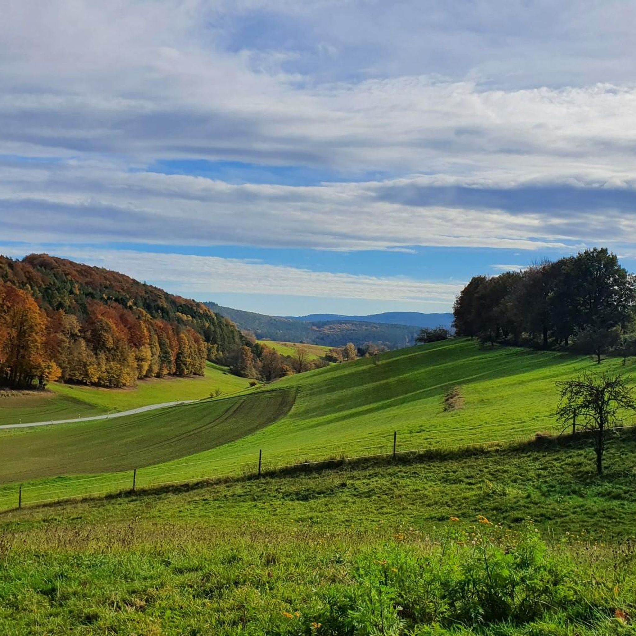
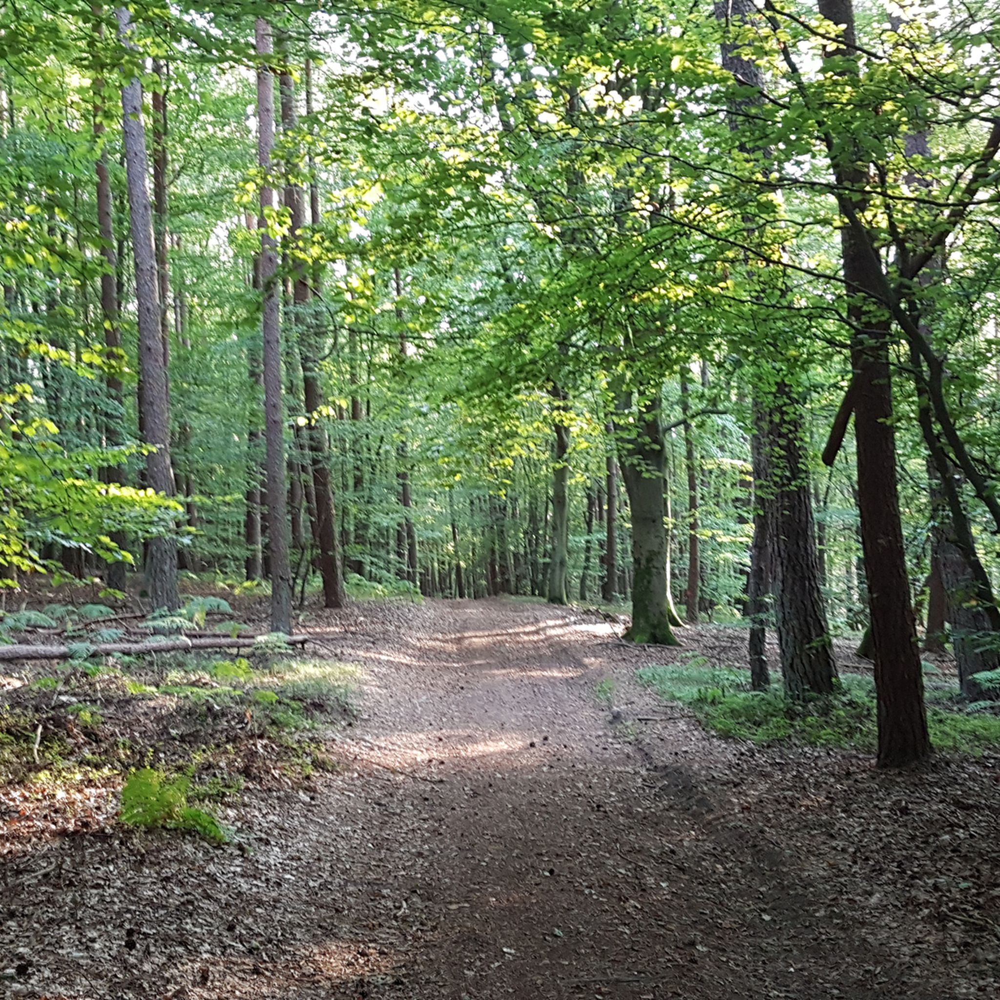
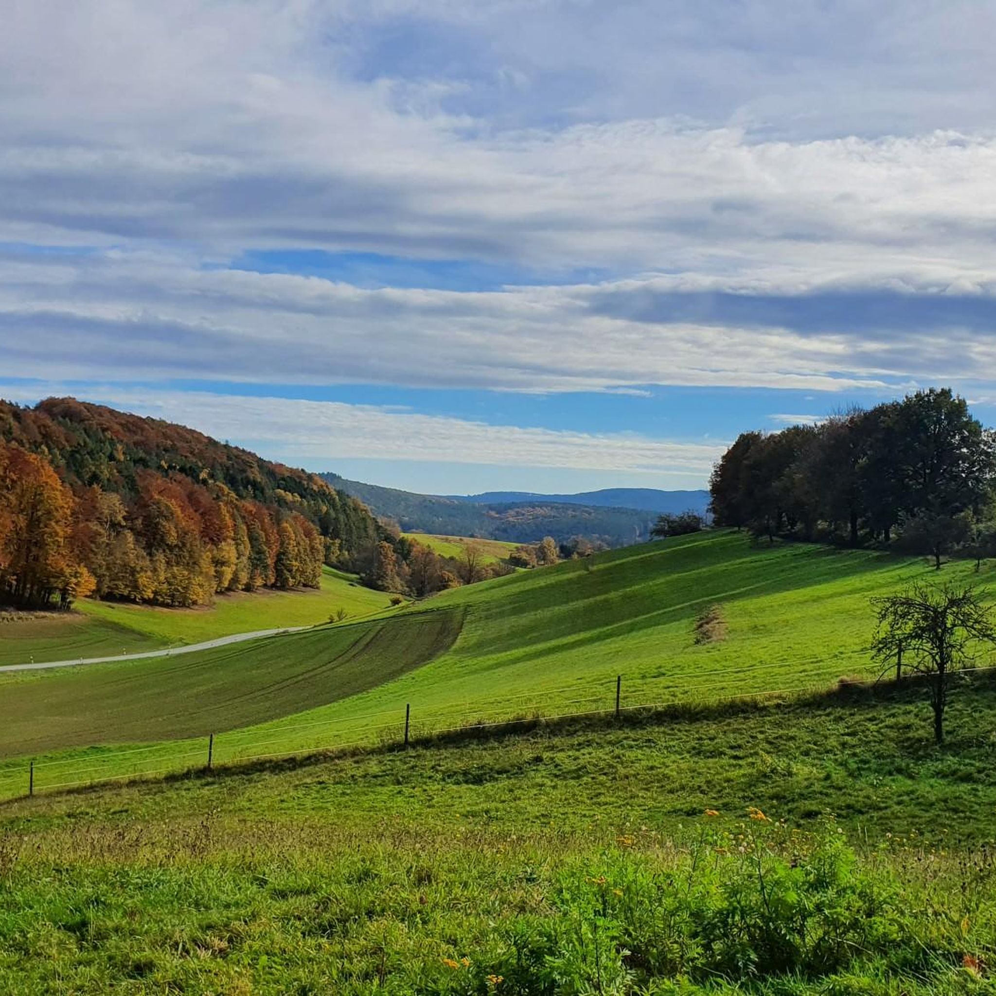
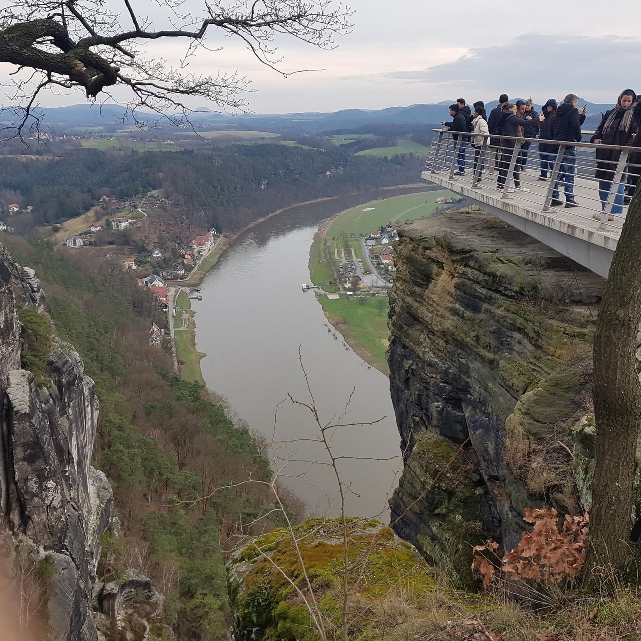
Other adventures around Heimbuchenthal

Tips from the Community

On days like today, maybe think about making a reservation by phone… it is quite popular
9
0
Note winter opening times! Do you look at pictures?
15
0
Attention... If you look at pictures... pay attention to winter opening times 😉
14
0
Nice idea .. nicely done ... cared for and cared for ... so everything in the countryside
13
0

Be sure to climb the tower. Great view.
33
0
You should definitely climb the tower. Great view.
35
0

The Geiersberg, also called Breitsol, is 586 m above sea level. NHN the highest mountain in the Spessart. It lies between Bischbrunn and Weibersbrunn in the Bavarian districts of Main-Spessart and Aschaffenburg. The Breitsol transmitter is located on the wooded mountain. The summit region is dominated by two transmission towers of the Breitsol transmitter located on the south-southwest hill in the hamlet of Breitsol in the municipality of Bischbrunn. The higher of the two towers is designed as a hybrid tower and is 124 m high. Its substructure is a free-standing steel framework tower; its superstructure, also made of steel framework, is braced with steel cables. Until December 2008 it carried a 7 ton TV transmitter in a GRP cylinder. The lower tower is free. Until the switch to DVB-T on November 25, 2008, ZDF and Bayerisches Fernsehen (Franconia) were broadcast from there in analogue PAL. The program Das Erste (BR) came from the Pfaffenberg transmitter near Aschaffenburg, which also broadcasts radio programs. Since November 25, 2008, DVB-T has been available for the Spessart from Pfaffenberg. The Geiersberg site has been shut down with regard to radio broadcasts. About 300 m north of the transmitter, about 20 m west of the service road that runs there, there are three old concrete foundations in the forest, which may have belonged to an earlier military transmission tower or mast. Source: https://de.wikipedia.org/wiki/Geiersberg_(Spessart)#Sender_Breitsol
4
0

Frequently Asked Questions
What are the most notable mountain peaks and viewpoints around Heimbuchenthal?
The region around Heimbuchenthal, primarily within the Spessart, offers several elevated spots and viewpoints. Key highlights include the Ludwig-Keller Observation Tower on Geishöhe, which provides expansive views over the surrounding mountain ranges. Another significant spot is the Stengerts Observation Tower, offering great views from its forest location. For those interested in geographical significance, Geiersberg Summit is the highest peak in the Spessart at 586 meters.
Are there family-friendly mountain peaks or viewpoints suitable for children near Heimbuchenthal?
Yes, several locations are considered family-friendly. The Ludwig-Keller Observation Tower on Geishöhe is a great option, as is the Geiersberg Summit. These spots offer opportunities for families to enjoy the natural landscape and scenic vistas together.
What kind of views can I expect from the mountain peaks in the Spessart region?
While many Spessart elevations are wooded, offering limited views, specific locations provide clear panoramas. The Ludwig-Keller Observation Tower on Geishöhe, situated on a wide meadow-pasture landscape, offers clear views of the surrounding mountain ranges. Similarly, the Stengerts Observation Tower provides a great view from its position within the forest.
What outdoor activities can I do near the mountain peaks around Heimbuchenthal?
The area is excellent for various outdoor activities. You can find numerous hiking trails, including easy and moderate options like the 'Elsava Stream with Bridges' loop or the 'Hohewart-Haus (Hohe Warte)' loop. For cyclists, there are road cycling routes such as the 'Hafenlohrtalstraße – Hafenlohrtal Nature Reserve' loop, and gravel biking routes like the 'Herrenbild Chapel – View of Heimbuchenthal' loop. You can explore more options on the Hiking around Heimbuchenthal, Road Cycling Routes around Heimbuchenthal, and Gravel biking around Heimbuchenthal guide pages.
Are there any places to eat or stay near the mountain peaks?
Yes, near the Geishöhe, you'll find the Inn at Geißhöhe. This inn offers home-style cuisine and is known for its homemade cakes. It also provides affordable rooms for those looking for a longer stay in the beautiful location. Be sure to check their specific opening hours, especially during winter.
What is the highest point in the Spessart region near Heimbuchenthal?
The highest point in the Spessart is Geiersberg Summit, also known as Breitsol, which stands at 586 meters. While the summit itself is relatively unspectacular with transmission towers, it marks a significant geographical landmark in the region and features a summit cross and summit book.
What do visitors particularly enjoy about the mountain peaks and viewpoints in this area?
Visitors appreciate the clear and expansive views offered by observation towers like the Ludwig-Keller Observation Tower on Geishöhe and the Stengerts Observation Tower. Many also enjoy the trails surrounding these peaks, which are suitable for hiking and mountain biking. The opportunity to reach the highest point of the Spessart at Geiersberg Summit is also a draw.
Are there hiking trails of varying difficulty near Heimbuchenthal's mountain peaks?
Yes, the surrounding area offers a range of hiking trails. You can find easy routes like the 'Elsava Stream with Bridges – Scenic view of Heimbuchenthal' loop, as well as moderate trails such as the 'Hohewart-Haus (Hohe Warte) loop from Heimbuchenthal' and the 'Elsava Stream – Hammerstäffelchen Stone Steps' loop. These trails often lead to or pass by the elevated spots and viewpoints.
Can I find any historical or man-made monuments among the peaks?
Yes, the area features several man-made monuments that also serve as viewpoints. The Ludwig-Keller Observation Tower on Geishöhe and the Stengerts Observation Tower are prominent examples. Additionally, the Breitsol Transmitter on Geiersberg, with its distinctive towers, is a notable man-made structure located on the highest peak of the Spessart.
Are there any specific tips for visiting the Ludwig-Keller Observation Tower on Geishöhe?
When visiting the Ludwig-Keller Observation Tower on Geishöhe, it is highly recommended to climb the tower itself. This is where you'll get the most expansive and clear views over the surrounding mountain ranges, as the wide plateau is a meadow-pasture landscape.
What is unique about the Geiersberg Summit, despite its appearance?
While the Geiersberg Summit itself might appear relatively unspectacular due to the presence of transmission towers, its significance lies in being the highest peak in the Spessart at 586 meters. It's a geographical landmark that many visitors aim to reach, often finding a summit cross and summit book there. The surrounding area also offers beautiful MTB and hiking trails.
Most popular routes around Heimbuchenthal
Most popular attractions around Heimbuchenthal

Get inspired with the komoot mobile app


Explore more
See even more amazing summits around Heimbuchenthal with these guides:
