The best cycling routes around Four Corners
4.5
(6)
215
riders
15
rides
Touring cycling routes around Four Corners offer diverse terrain, from high-altitude areas to lower valleys. The region features varied landscapes, including areas with significant elevation changes and more gentle paths. Cyclists can find routes that traverse different ecosystems, providing a range of experiences. The network includes paths suitable for various fitness levels, from urban loops to more challenging climbs.
Best touring cycling routes around Four Corners
- The most popular touring cycling route is Kelly Canyon Road and Bridger Canyon loop…
Last updated: July 2, 2026
4.5
(4)
25
riders
26.9km
01:41
240m
240m
Moderate bike ride. Good fitness required. Mostly paved surfaces. Suitable for all skill levels.
17
riders
19.2km
01:15
130m
130m
Easy bike ride. Great for any fitness level. Mostly paved surfaces. Suitable for all skill levels.

Sign up for free
12.0km
00:44
60m
60m
Easy bike ride. Great for any fitness level. Mostly paved surfaces. Suitable for all skill levels.
23
riders
23.6km
02:02
270m
270m
Moderate bike ride. Good fitness required. Mostly paved surfaces. Suitable for all skill levels.
21
riders
17.7km
01:07
100m
100m
Easy bike ride. Great for any fitness level. Mostly paved surfaces. Suitable for all skill levels.
Get access to more routes and recommendations from other explorers.
Sign up for free
Already have an account?
Our route recommendations are based on thousands of hikes, rides, and runs completed by other people on komoot.
Start today with a free account
Your next adventure awaits.
Login or Signup
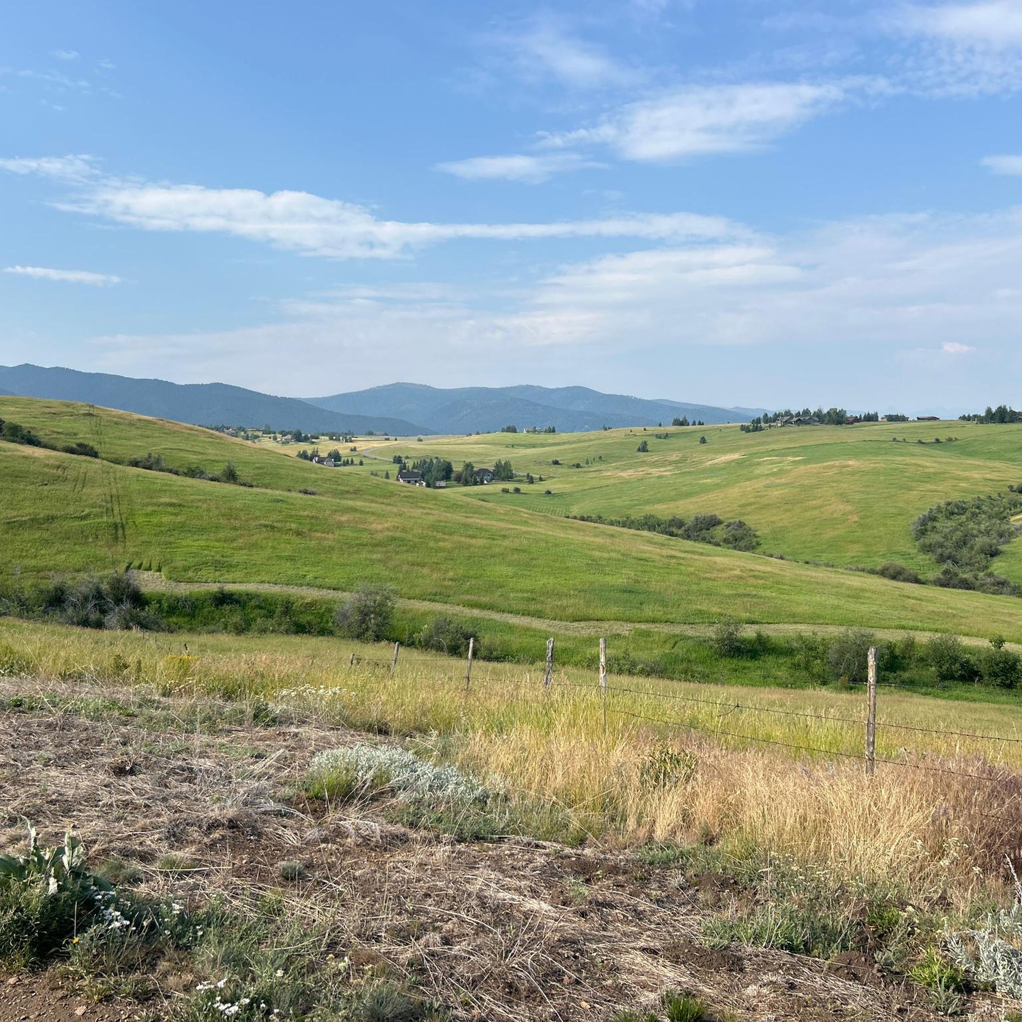
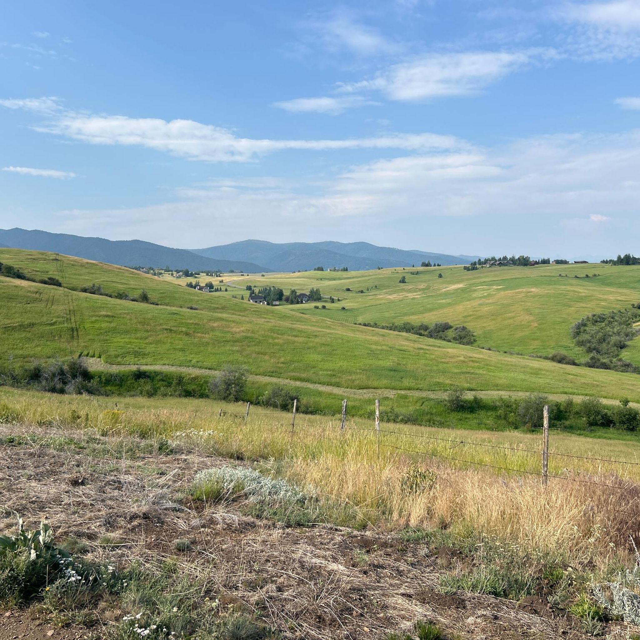


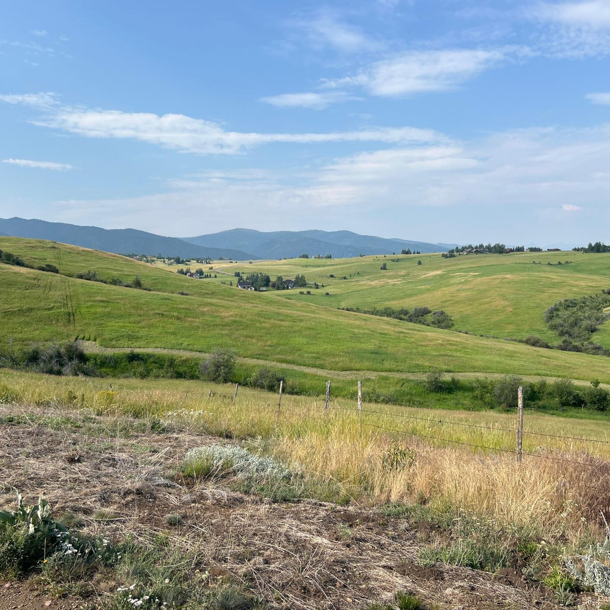
Tips from the Community

Commonly referred to as the "Cow Trails," the Highland Glen Nature Preserve has a network of single track and double track trails that are open to biking, running, and hiking. In the winter, this is a cross country ski area. The trails get their nickname from the herd of cows that lives in the preserve. Make sure to always close and latch any gates that you go through!
0
0

The spur trail is well-maintained, finely crushed gravel.
0
0

Story Mill Nature Reserve is a 40 acre nature sanctuary that has several miles of trails that cut through a large green space. There are still remnants of the water-powered mill and grain elevator that used to be active on this land.
0
0

Nice road with a short steep climb up to 11% eastward to summit. Good way to get to/from Bozeman to miss the busier lower sections of Bridger Canyon Road. Not much traffic!
0
0
This is a nice collection of Ridgeline trails southeast of downtown Bozeman that offer stunning views of the surrounding mountain peaks and the Gallatin Valley. The trails connect the Bozeman Library and extend all the way to Kagy Boulevard.
0
0

Peet's Hill in Burke Park is popularly known for its scenic trails and panoramic views. Peet's Hill has a network of well-maintained trails that weave through grassy meadows and wooded forests.
0
0

Flaming Arrow Rock is just off Bridger Canyon Road. It is a large hill with an almost completely bare side that is an interesting landmark as you ride along this scenic road near Bozeman, Montana.
0
0
Burke Park is a dirt and crushed gravel trail system on a small mesa on the east side of Bozeman. The mesa provides a vantage point with views of several mountain ranges circling around the city, and there is plenty of open space for dogs and kids to run around (though there are signs asking users to control dogs with a leash). The trails range from wide, road width trails to singletrack, but the vertical gain and loss on the park trails is minimal. Pete's Hill is the name of the lookout point with benches on the most northern side of the park. This is a popular park for lots of different trail users, and it's likely you'll encounter others out on a hike.
0
0
Frequently Asked Questions
How many touring cycling routes are available in the Four Corners region?
There are over 18 touring cycling routes in the Four Corners region, offering a variety of experiences for different skill levels. You can find options ranging from easy city loops to more challenging routes with significant elevation changes.
What types of terrain can I expect on touring cycling routes in Four Corners?
The Four Corners region offers diverse terrain, from high-altitude areas to lower valleys. Cyclists can experience varied landscapes, including dramatic red rock formations, canyons, and pinyon-juniper woodlands. Some routes feature significant elevation changes, while others are more gentle paths, traversing different ecosystems.
Are there any easy touring cycling routes suitable for beginners?
Yes, the Four Corners region has several easy touring cycling routes. For instance, the Gallagator Trail and Path to the M is an easy 11.9-mile (19.2 km) path with a moderate ascent of 422 feet (129 meters). Another accessible option is the Bozeman City loop, a 7.4-mile (12.0 km) trail that leads through urban and natural areas.
What are some moderate touring cycling routes in the Four Corners area?
For those seeking a moderate challenge, the Kelly Canyon Road and Bridger Canyon loop is a popular choice. This 16.7-mile (26.9 km) route features an elevation gain of 777 feet (237 meters). Another moderate option is the Highland Glen Nature Preserve – Painted Hills loop from Bozeman, which covers 23.8 km with an ascent of 272 meters.
What kind of natural attractions can I see along the touring cycling routes?
The Four Corners region is rich in natural beauty. Along your rides, you might encounter stunning red rock formations, deep canyons, and diverse ecosystems. Specific highlights include the Highland Glen Nature Preserve and Glen Lake. The region is part of the Colorado Plateau, known for its dramatic topography.
Are there any viewpoints or scenic overlooks accessible by bike?
Yes, the region offers several scenic spots. For example, the Pete's Hill Lookout, Burke Park provides excellent views. The dramatic landscapes of the Four Corners, with its mesas, buttes, and canyons, naturally create numerous opportunities for breathtaking vistas along many routes.
What is the best time of year for touring cycling in Four Corners?
The Four Corners region experiences diverse climates. While specific route conditions vary, spring and fall generally offer the most pleasant temperatures for cycling. Summers can be hot, especially in lower desert areas, but high-altitude routes in areas like the San Juan National Forest provide cooler temperatures. Winters can bring snow to higher elevations, making some routes inaccessible.
Are there family-friendly touring cycling options in Four Corners?
Yes, several routes are suitable for families. Easy paths like the Gallagator Trail and Path to the M or the Bozeman City loop are great for a relaxed family outing. These routes typically have less elevation gain and are often well-maintained, providing a safe and enjoyable experience for all ages.
What do other touring cyclists enjoy most about cycling in Four Corners?
The routes in Four Corners are highly rated by the komoot community, with an average score of 4.75 stars from over 5 reviews. Cyclists often praise the varied terrain, which includes both challenging climbs and easier city paths, and the opportunity to explore diverse ecosystems and stunning natural scenery.
Are there any ancient historical sites or cultural attractions near the cycling routes?
The Four Corners region is rich in ancient Puebloan history. While not directly on every cycling route, major sites like Mesa Verde National Park, Chaco Culture National Historical Park, and Canyon de Chelly National Monument are significant attractions in the broader region. These offer a deep dive into Native American history and are worth exploring if you're in the area.
Where can I find parking for touring cycling routes in Four Corners?
Many routes in the Four Corners region have designated parking areas. For example, the Gallagator Trailhead is a known starting point with parking facilities. It's always advisable to check specific route details on komoot for information on parking availability at the start of your chosen tour.
Are there any circular touring cycling routes in the Four Corners region?
Yes, many touring cycling routes in the Four Corners region are designed as loops, allowing you to start and end at the same point. Examples include the Kelly Canyon Road and Bridger Canyon loop and the Bozeman City loop. These circular routes are convenient for day trips.
What should I bring for touring cycling in the Four Corners region?
Given the diverse terrain and potential for varying weather, it's recommended to bring layers of clothing, plenty of water, snacks, a repair kit, and sun protection. For longer or more remote routes, consider carrying a map or GPS device, as cell service can be spotty in some areas. High-altitude routes may require warmer gear even in summer.
Most popular attractions around Four Corners

Get inspired with the komoot mobile app


Explore more
Browse the best Cycling routes in other regions.
