The best walks and hikes around Clancy
5.0
(7)
96
hikers
9
hikes
Hiking around Clancy, Montana, offers access to diverse landscapes, primarily within the Helena-Lewis and Clark National Forest and the nearby Elkhorn Mountains. The region is characterized by rugged mountain terrain, extensive forest trails, and views of features like Canyon Ferry Lake. Clancy's semi-arid climate provides varied conditions for exploration throughout different seasons. These areas provide a variety of outdoor experiences, from forested paths to more open mountain environments.
Best hiking trails around Clancy
- The most popular hiking route is Mount…
Last updated: June 29, 2026
6
hikers
10.3km
03:05
340m
300m
Moderate hike. Good fitness required. Mostly accessible paths. Sure-footedness required.
2
hikers
4.13km
01:14
130m
130m
Easy hike. Great for any fitness level. Easily-accessible paths. Suitable for all skill levels.

Sign up for free
8.86km
03:25
1,020m
0m
Hard hike. Very good fitness required. Mostly accessible paths. Sure-footedness required.
8
hikers
5.64km
01:50
270m
270m
Easy hike. Great for any fitness level. Easily-accessible paths. Suitable for all skill levels.
5
hikers
8.16km
02:32
320m
320m
Moderate hike. Good fitness required. Easily-accessible paths. Suitable for all skill levels.
Get access to more routes and recommendations from other explorers.
Sign up for free
Already have an account?
Our route recommendations are based on thousands of hikes, rides, and runs completed by other people on komoot.
Start today with a free account
Your next adventure awaits.
Login or Signup
Popular around Clancy
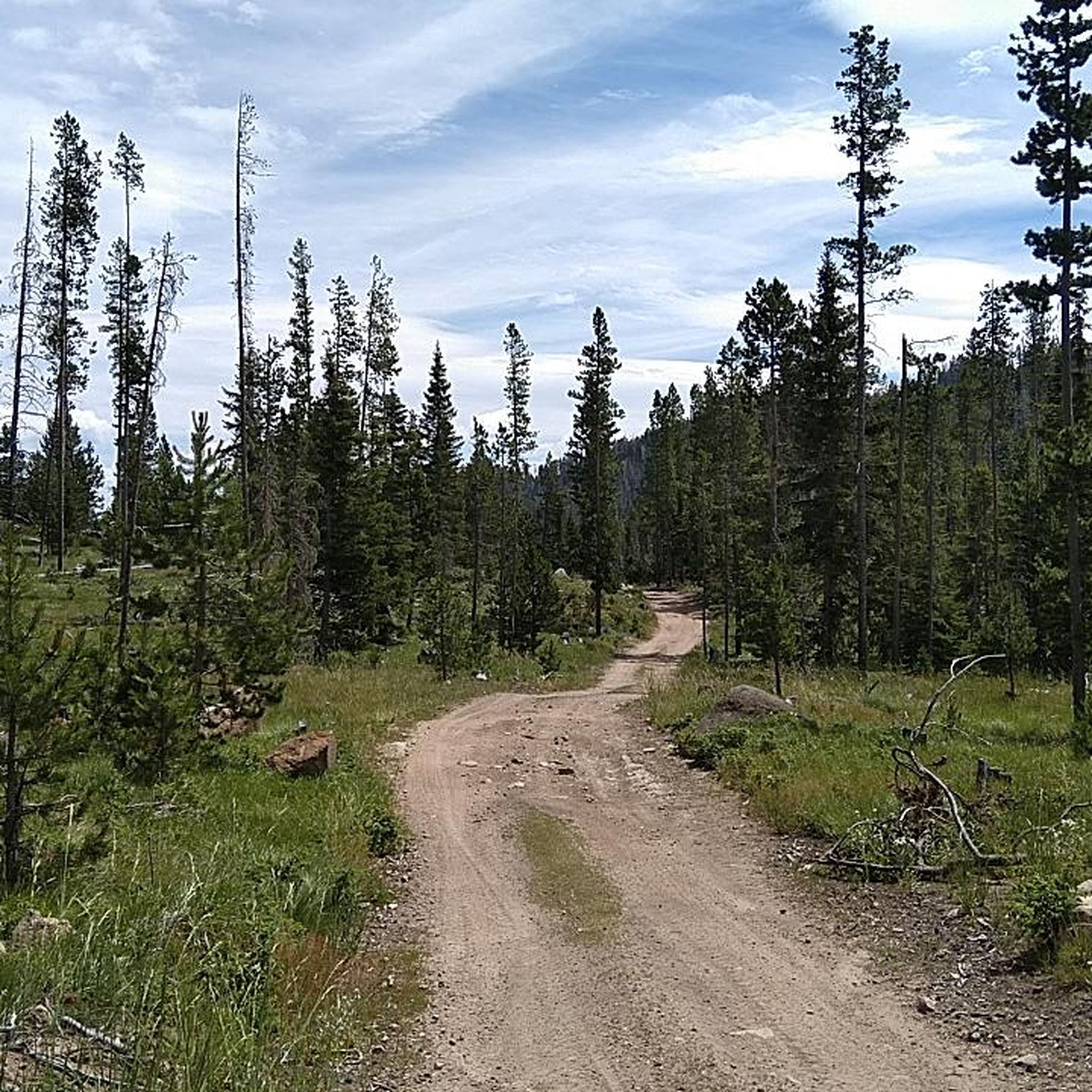
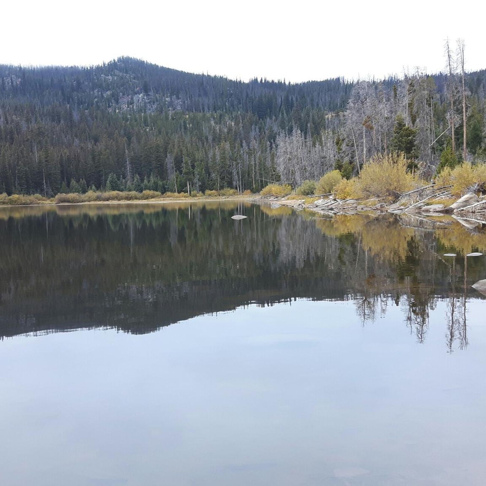
Tips from the Community

Mount Ascension is just outside of Helena and gives a nice view of the surrounding natural areas as well as the city. It is a well-maintained trail and open year-round, but in the winter, watch out for ice in the shady areas.
0
0

Thumbs up, you made it to the top of Mount Ascension! This is the spot to take a rest and refuel for the fun part is it's (almost) all downhill from here.
0
0
Frequently Asked Questions
What kind of hiking terrain can I expect around Clancy?
Hiking around Clancy offers a diverse range of terrain, primarily within the Helena-Lewis and Clark National Forest and the nearby Elkhorn Mountains. You'll find rugged mountain landscapes, extensive forest trails, and open vistas. The area is characterized by its natural beauty, including portions of the Continental Divide and views towards Canyon Ferry Lake.
Are there any easy hiking trails suitable for beginners or families near Clancy?
Yes, there are options for easier hikes. For instance, the Mount Ascension – Mount Ascension loop from Helena is rated as easy and offers a less strenuous path with varied terrain. The Helena-Lewis and Clark National Forest also features family-friendly options like the Trout Creek Canyon Trail and Crow Creek Falls Trail, known for their scenic beauty.
What are some notable natural features or landmarks to see while hiking near Clancy?
The region around Clancy is rich with natural and historical landmarks. You can explore areas like Mount Helena, a prominent local peak, and the unique geological formation known as Devil's Kitchen. The Helena-Lewis and Clark National Forest itself offers impressive features such as towering rock formations in Trout Creek Canyon and the spectacular views through a limestone canyon on the Crow Creek Falls Trail.
Are there any historical sites or points of interest along the trails near Clancy?
Yes, the area has historical significance. You can visit the Lime Kiln Ruins, which offer a glimpse into the region's past. The Helena-Lewis and Clark National Forest also encompasses segments of the historic routes taken by the Lewis and Clark Expedition, and the nearby Elkhorn Mountains are known for historical sites like the ghost town of Elkhorn.
What do other hikers say about the trails around Clancy?
The hiking routes around Clancy are highly regarded by the komoot community, holding an average rating of 4.8 stars from over 12 reviews. Hikers often praise the diverse landscapes, from dense woodlands to open mountain environments, and the variety of options available for different skill levels.
Can I find circular hiking routes near Clancy?
Yes, several circular routes are available. Popular options include the Mount Helena – Devil's Kitchen loop from Helena and the Mount Helena – Mount Helena Trail Junction loop from Helena. These loops provide a great way to experience the scenery without retracing your steps.
What is the best time of year to go hiking in Clancy?
The best time for hiking around Clancy is typically from late spring through early fall (May to October), when the weather is generally mild and trails are clear of snow. Summer offers warm temperatures, while spring and fall provide cooler conditions and vibrant foliage. Some trails may be accessible for winter hiking, but conditions can vary greatly and require appropriate gear.
Are there opportunities for wildlife spotting while hiking near Clancy?
The natural areas around Clancy, including the Helena-Lewis and Clark National Forest and the Elkhorn Mountains, are home to diverse wildlife. Hikers often have opportunities to spot deer, elk, various bird species, and occasionally larger mammals. Canyon Ferry Lake, though primarily for water recreation, also offers habitats for antelope and other wildlife in its surrounding uplands.
What are the typical distances and elevations for hikes in the Clancy area?
Hikes in the Clancy area vary in distance and elevation gain. For example, the moderate Devil's Kitchen – Mount Helena loop from Last Chance Gulch covers about 6.1 kilometers with an elevation gain of around 320 meters. Shorter loops like the Mount Helena – Mount Helena Trail Junction loop from Helena are about 4.2 kilometers with similar elevation changes, offering options for different fitness levels.
What national forests or wilderness areas are accessible from Clancy for hiking?
Clancy provides excellent access to the vast Helena-Lewis and Clark National Forest, which offers extensive trail networks and diverse ecosystems. Within this forest, you can reach significant wilderness areas like the Bob Marshall Wilderness and Scapegoat Wilderness, known for their pristine natural environments and extensive trail systems ideal for backpacking.
Are there any trails that offer views of Canyon Ferry Lake?
While the primary hiking trails are within the national forest and mountains, the region's geography means that some higher elevation trails or viewpoints, particularly in the Big Belt Mountains or Elkhorn Mountains, may offer scenic views towards Canyon Ferry Lake. The lake itself is a prominent feature in the broader Clancy area landscape.
Most popular routes around Clancy
Most popular attractions around Clancy

Get inspired with the komoot mobile app


Explore more
Browse the best Hikes in other regions.
