The 18 Most Amazing Peaks around Bad Hönningen
Best mountain peaks around Bad Hönningen provide elevated points and scenic views within the Rhine Valley. The region features rolling hills and diverse landscapes, offering numerous hiking opportunities. These elevated areas are characterized by their panoramic vistas of the Rhine and surrounding countryside, rather than towering peaks. The area is known for accessible hiking trails and educational features.
Best mountain peaks around Bad Hönningen
- The most popular mountain peaks is Bärenkopp summit cross – View of Waldbreitbach, a summit…
Last updated: June 24, 2026
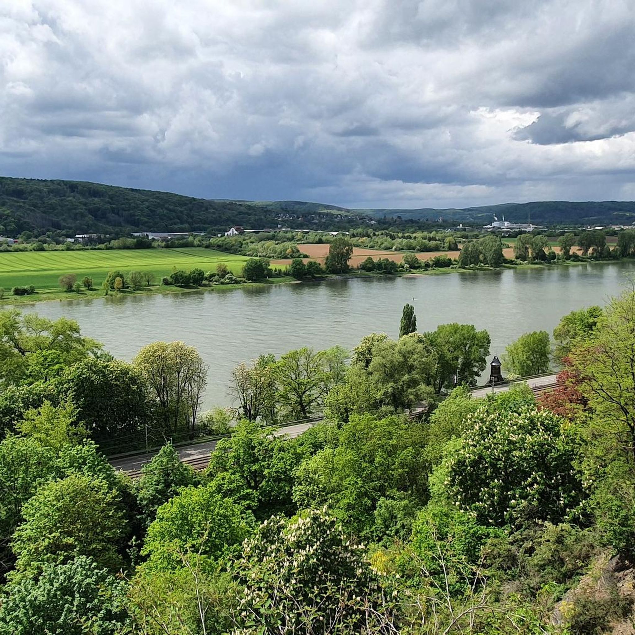
View from the Landskrone summit
Highlight • Viewpoint
Translated by Google •
Tip by

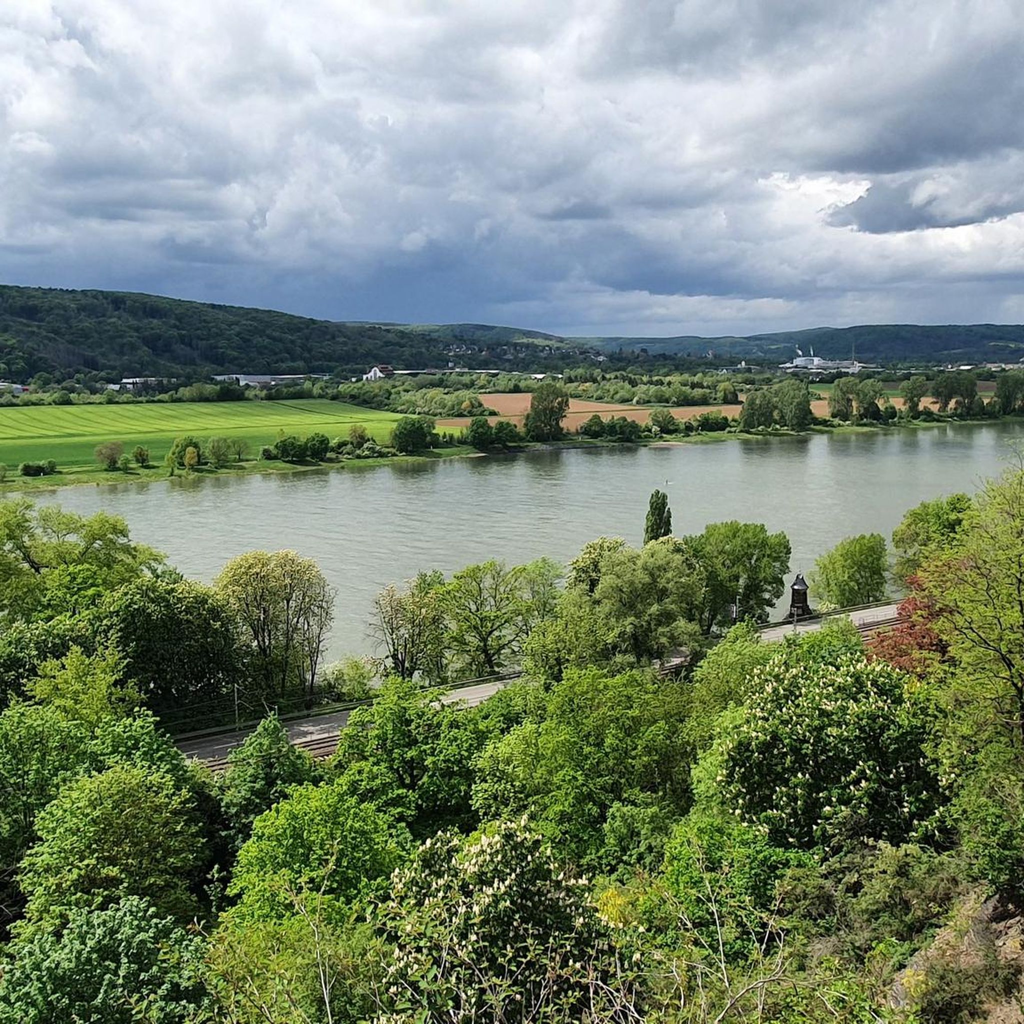
Malberg Summit
Highlight • Summit
Translated by Google •
Tip by

Sign up now to discover places like this
Get recommendations on the best single tracks, peaks, & plenty of other exciting outdoor places.
Sign up for free
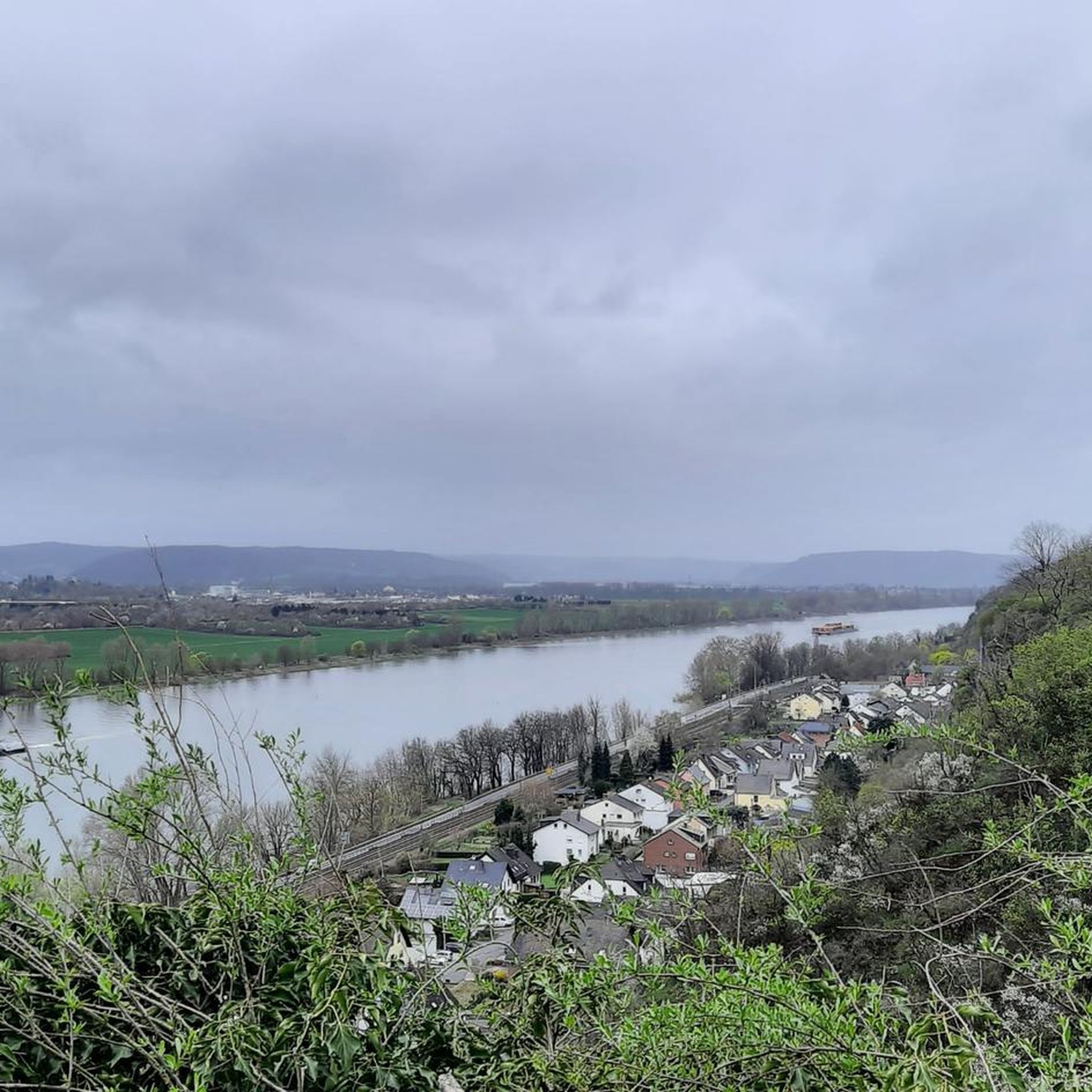
Kaiserberg summit cross and view over Linz am Rhein
Highlight • Viewpoint
Showing Translation
Tip by

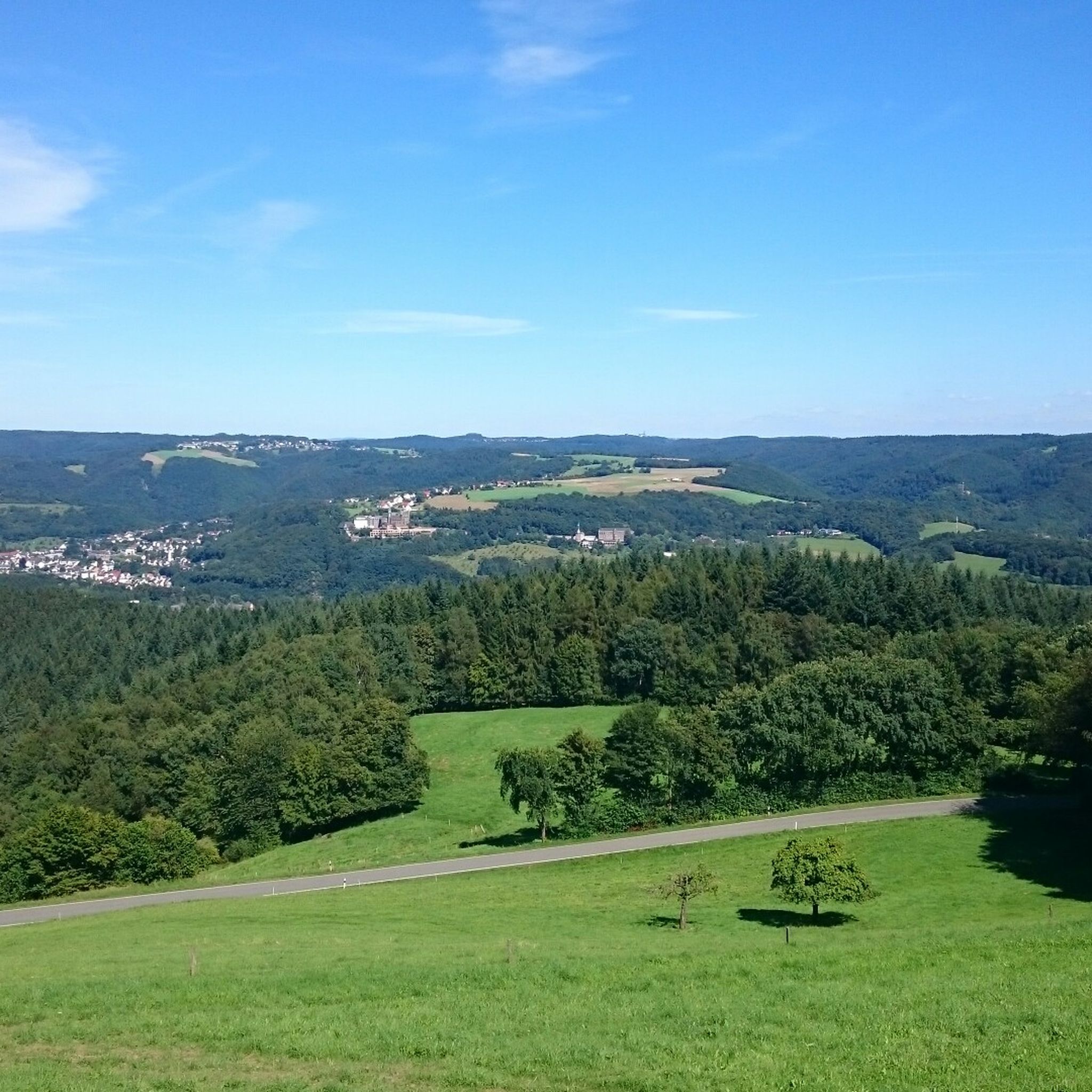
Bärenkopp summit cross – View of Waldbreitbach
Highlight • Summit
Translated by Google •
Tip by
WällerTour Bärenkopp
Highlight (Segment) • Trail
Translated by Google •
Tip by

Sign up for free to discover even more peaks around Bad Hönningen.
Sign up for free
Already have an account?
Start today with a free account
Your next adventure awaits.
Login or Signup
Popular around Bad Hönningen

German Limes Cycle Path – Riding from the Rhine to the Danube
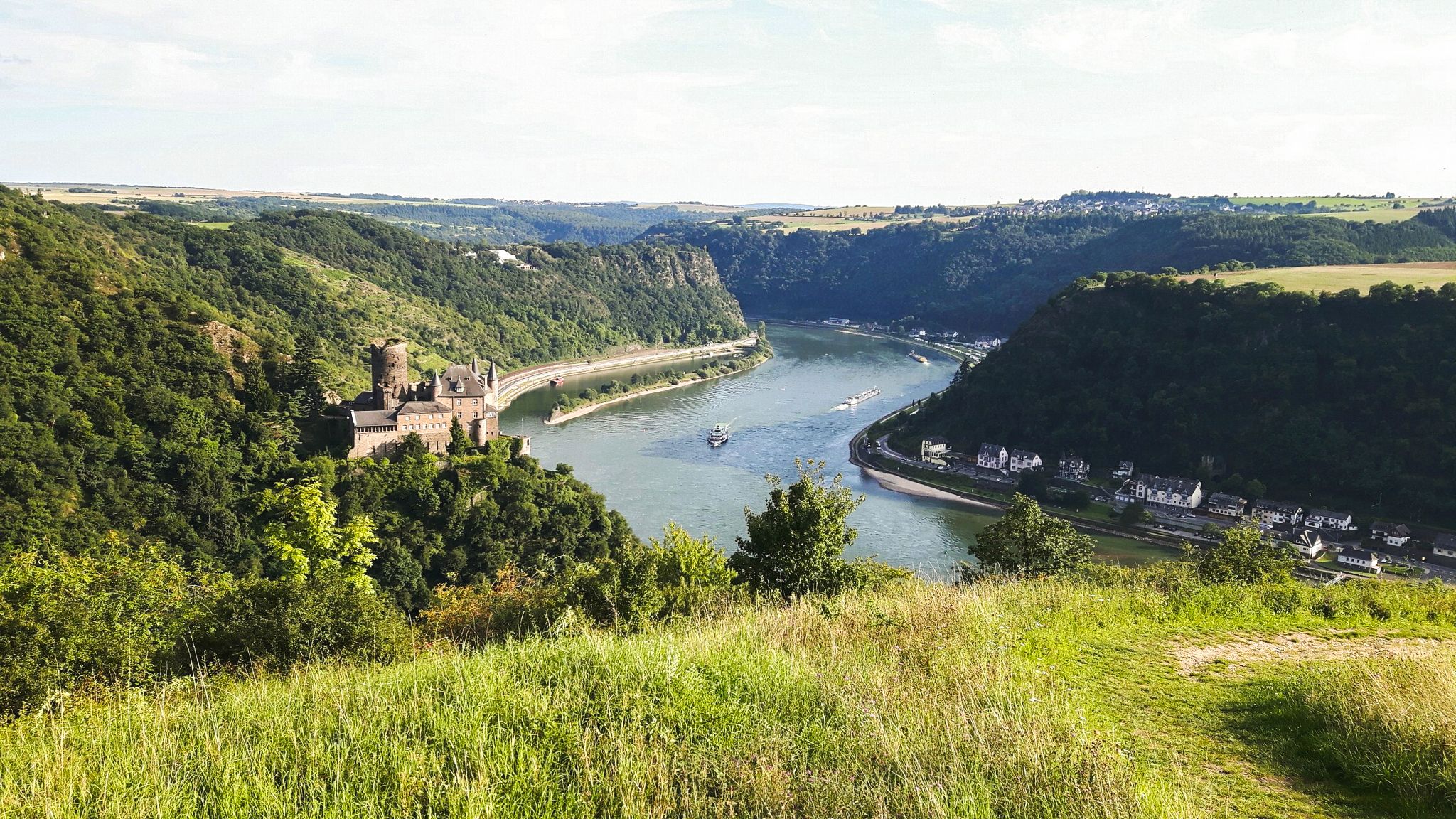
Rheinsteig Trail – The 21 stages along the Rhine
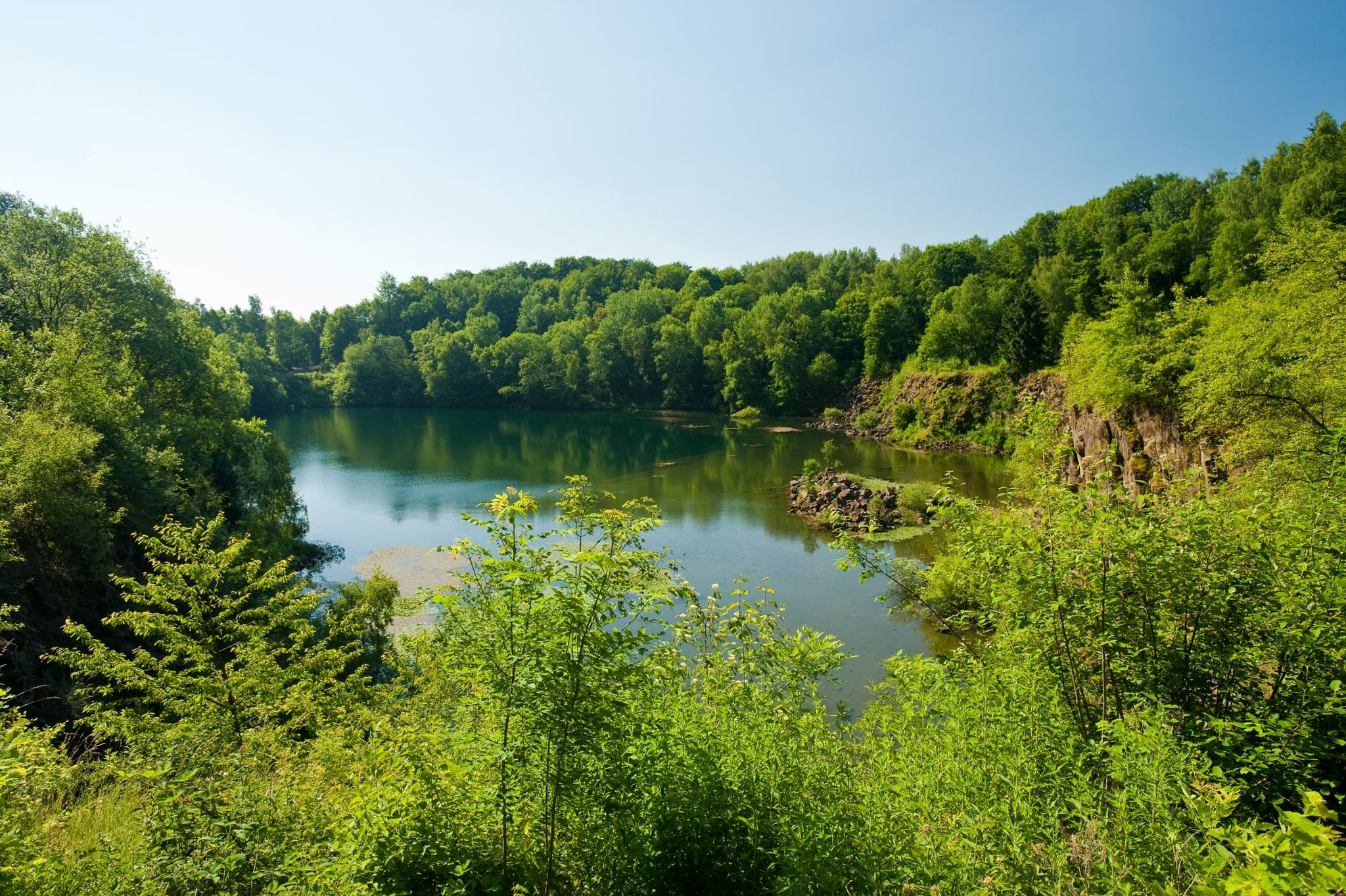
19 short hikes in the Westerwald
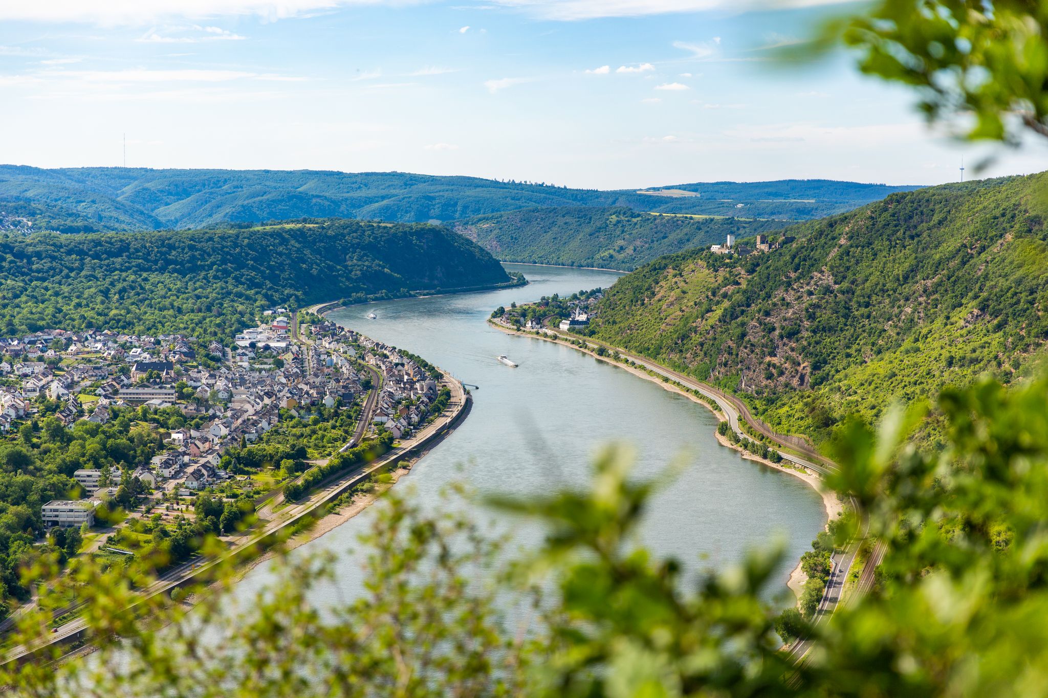
Bergauf und bergab entlang des Rheins – Abenteuer Rheinsteig
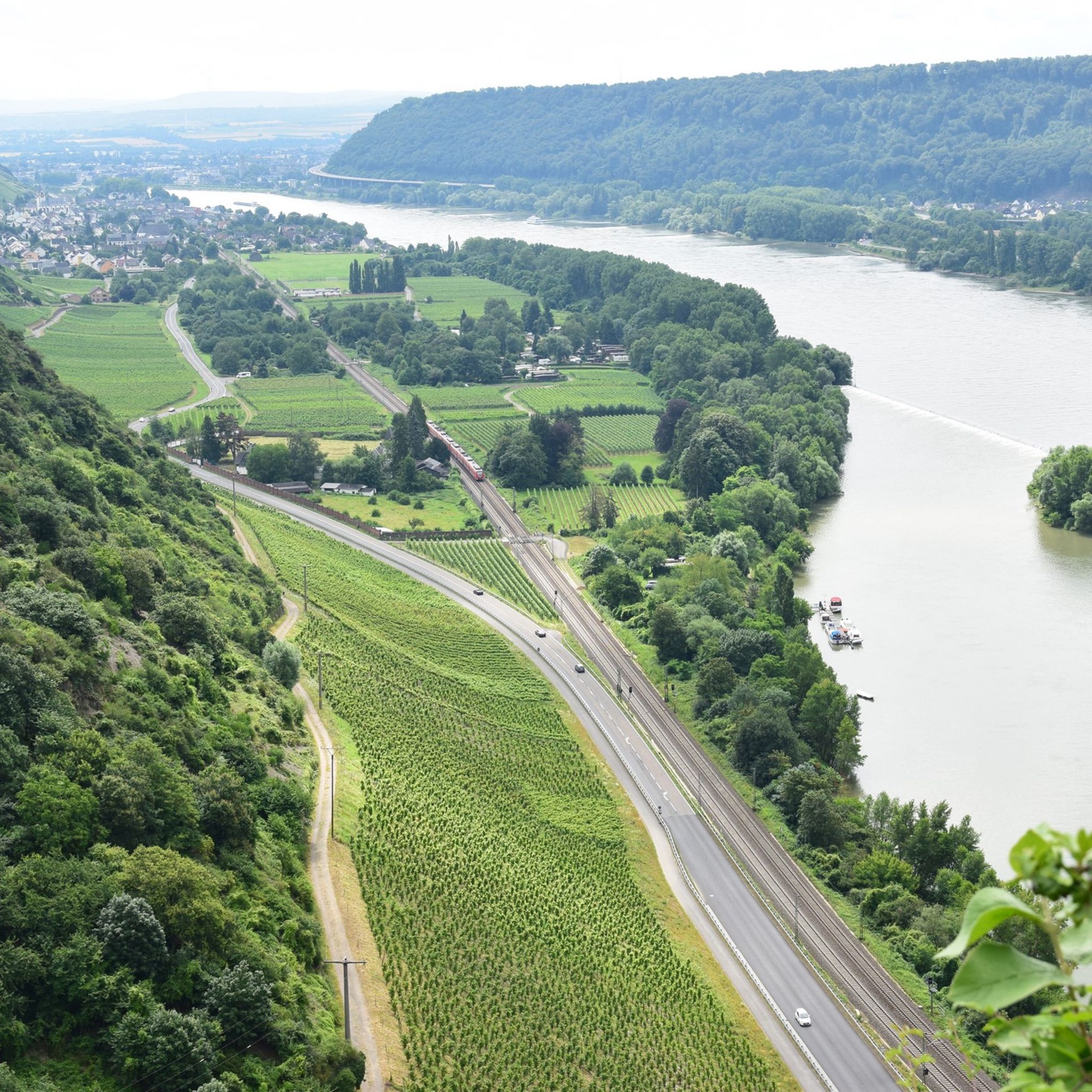
Cycling around Bad Hönningen
Hiking around Bad Hönningen
Road Cycling Routes around Bad Hönningen
MTB Trails around Bad Hönningen
Running Trails around Bad Hönningen
Gravel biking around Bad Hönningen
Other adventures around Bad Hönningen


Tips from the Community

There are two ways to the summit (Bärenkopp), I chose the steep route. A bit of a challenge, but I'm happy to have made it.
4
0

On to the Kaiserberg, up and down are no problem.
10
0

From the Kaiserberg you have a magnificent view over the Rhine Valley. The cross is enthroned majestically and an information board explains the basalt mining near Linz. The Donatus chapel is a quiet place of worship.
9
1

The Wällertour Bärenkopp is a beautiful, well-marked hiking route that is really worth doing.
5
0

From up here you have a great view of the Ahr Valley.
5
0

Like all Wäller tours, the Bärenkopp is a great, well-marked circular hiking trail with beautiful views and different conditions along the way.
3
0

Beautiful, well-kept hiking trails around the Malberg. Goats are currently grazing there to keep the impassable parts free.
5
0

Coming from Linz, you have your first ascent behind you here and can enjoy the beautiful view over the Rhine with a panorama map. Benches invite you to take a breather.
10
0
Frequently Asked Questions
What are the most popular elevated points to visit around Bad Hönningen?
Among the most popular elevated points, visitors frequently recommend the Bärenkopp summit cross – View of Waldbreitbach, which offers expansive views as far as the Siebengebirge. Another highly regarded spot is the View from the Landskrone summit, a historical site with impressive vistas towards the Eifel and Rhineland. The Malberg Summit is also a favorite, known for its beautiful views and an educational trail about basalt mining.
Are there family-friendly hiking options among the peaks near Bad Hönningen?
Yes, several elevated points and trails around Bad Hönningen are considered family-friendly. For instance, the Malberg Summit is noted as family-friendly, offering an educational basalt trail that can engage younger hikers. The Kaiserberg summit cross and view over Linz am Rhein is also suitable for families, providing beautiful views of the Rhine.
Can I bring my dog on the hiking trails around Bad Hönningen's peaks?
Yes, the region offers dog-friendly options. The Malberg Summit, for example, is explicitly listed as dog-friendly, making it a great choice for walks with your canine companion. Always ensure your dog is on a leash and you carry waste bags.
What kind of views can I expect from the elevated points in Bad Hönningen?
The elevated points around Bad Hönningen, while not towering mountains, offer spectacular panoramic views. You can expect to see the picturesque Rhine Valley, the Wiedtal's monastery landscape, and the broader Westerwald region. From spots like the Bärenkopp summit cross, you can even see as far as the Siebengebirge. The Landskrone summit provides impressive vistas towards the Eifel and the Rhineland.
Are there any historical sites among the peaks or viewpoints?
Yes, the View from the Landskrone summit is a significant historical site. It features the ruins of a high medieval castle that played a notable role in historical conflicts, adding a rich historical context to the scenic landscape. This viewpoint offers impressive vistas while allowing you to explore remnants of the past.
Where can I find easy hiking trails near the peaks of Bad Hönningen?
For easy hiking options, you can explore routes like the "Dietrich Schareina Trail – Malberg Summit loop from Hausen (Wied)" or the "View over the Rhine Valley – Malberg Summit loop from Hausen (Wied)". These are part of the Easy hikes around Bad Hönningen guide, which offers several accessible trails suitable for a relaxed outing.
Are there places to eat or rest near the hiking trails?
Yes, some elevated points offer amenities. Near the Malberg Summit, you'll find the Malberg ski hut/hiking hut, which is a managed hut offering delicious food and drinks, along with a wonderful view. It's a great spot to take a break and refuel during your hike.
What unique natural features can be found on the trails?
The region around Bad Hönningen is characterized by diverse landscapes. On the Malberg Summit, you can explore an educational trail focused on basalt mining, highlighting the area's geological history. The trails often weave through forests, meadows, and offer views of the Rhine River, providing a varied natural experience.
What other outdoor activities can I do near the peaks around Bad Hönningen?
Beyond hiking, the area offers excellent opportunities for cycling and mountain biking. You can find various routes in the Cycling around Bad Hönningen guide, including easy to difficult options. For mountain biking, check out the MTB Trails around Bad Hönningen guide, which features routes like the "Roman Fort Trail" and "Wied Bridge, Altwied" loops.
What do visitors particularly enjoy about the peaks around Bad Hönningen?
Visitors frequently praise the rewarding panoramic views, especially from spots like the Bärenkopp summit cross, where a bench invites you to rest and soak in the scenery. The combination of accessible hiking trails, educational features like the basalt trail on Malberg Summit, and the historical significance of places like the Landskrone are highly appreciated by the komoot community.
Are there any specific trails that lead to the Bärenkopp summit?
Yes, the WällerTour Bärenkopp is a well-marked hiking route that leads to the summit. It offers two paths to the top: a shorter, steeper option and a slightly longer, less steep route. This tour is highly recommended for its beautiful, rustic paths and the stunning views from the Bärenkopp summit cross.
What is the general character of the 'mountain peaks' in this region?
The 'mountain peaks' around Bad Hönningen are better described as elevated points and rolling hills rather than towering mountains. They are known for providing picturesque views and excellent hiking opportunities within the scenic Rhine Valley. The area is characterized by accessible trails, diverse landscapes, and panoramic vistas of the river and surrounding countryside.
Most popular routes around Bad Hönningen
Most popular attractions around Bad Hönningen

Get inspired with the komoot mobile app


Explore more
See even more amazing summits around Bad Hönningen with these guides:
