The 20 Most Amazing Peaks around Bad Camberg
Best mountain peaks around Bad Camberg are situated in the Taunus region, offering a range of elevated points. The area features natural beauty, historical significance, and panoramic views. Notable landmarks include the Kuhbett, the highest elevation in the Limburg-Weilburg district, and the Kapellenhügel with its historic Kreuzkapelle. Visitors can explore diverse landscapes, from forested trails to distinctive rock formations and historical sites.
Best mountain peaks around Bad Camberg
- The most popular mountain peaks is Pferdskopf Observation Tower, a viewpoint…
Last updated: June 23, 2026
Pferdskopf Observation Tower
Highlight • Viewpoint
Translated by Google •
Tip by

View from the Mensfelder Kopf
Highlight • Viewpoint
Offers a fantastic view of Limburg and towards Feldberg
Translated by Google •
Tip by

Sign up now to discover places like this
Get recommendations on the best single tracks, peaks, & plenty of other exciting outdoor places.
Sign up for free
Weilsberg Summit
Highlight • Summit
However, the summit is rather unspectacular and despite the extensive clearing
(because of bark beetle infestation) there …
Translated by Google •
Tip by
Dillenberg Summit
Highlight • Summit
After all, almost 700 meters high and thus one of the 10 highest peaks in the Taunus!
Translated by Google •
Tip by
Hirschsteinlai Rock Formation
Highlight • Natural Monument
Showing Translation
Tip by

Sign up for free to discover even more peaks around Bad Camberg.
Sign up for free
Already have an account?
Start today with a free account
Your next adventure awaits.
Login or Signup
Popular around Bad Camberg

Delightfully scenic hiking in the Taunus range
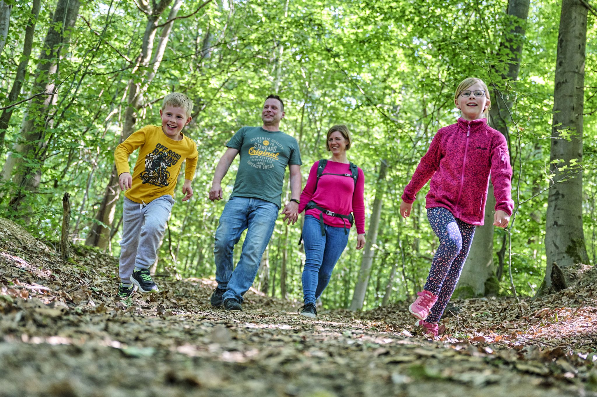
The journey is the adventure – hikes in Germany’s Taunus Mountains
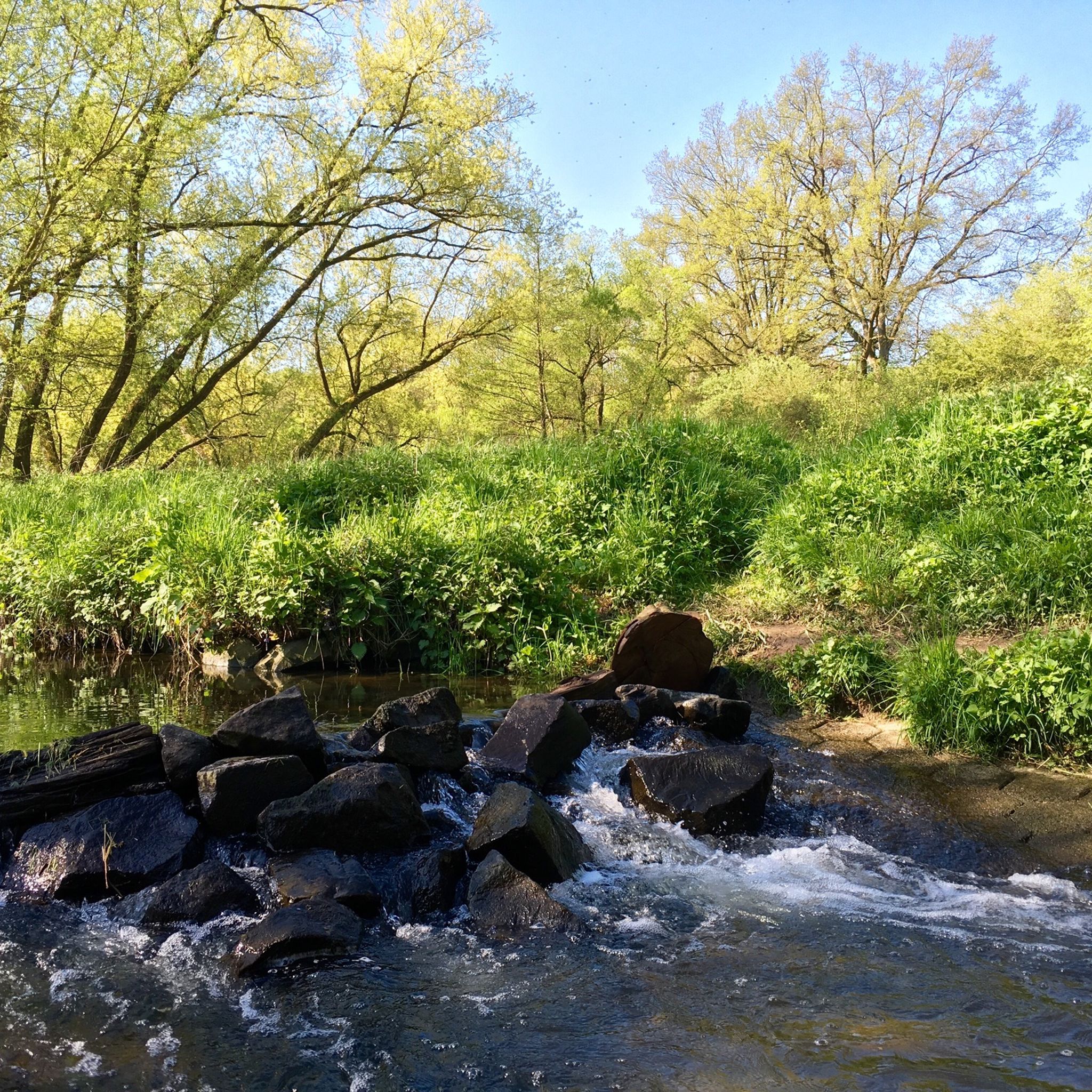
Hiking around Bad Camberg
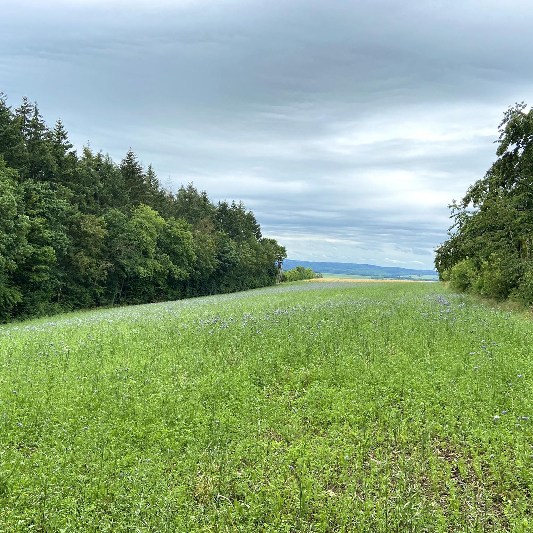
Cycling around Bad Camberg
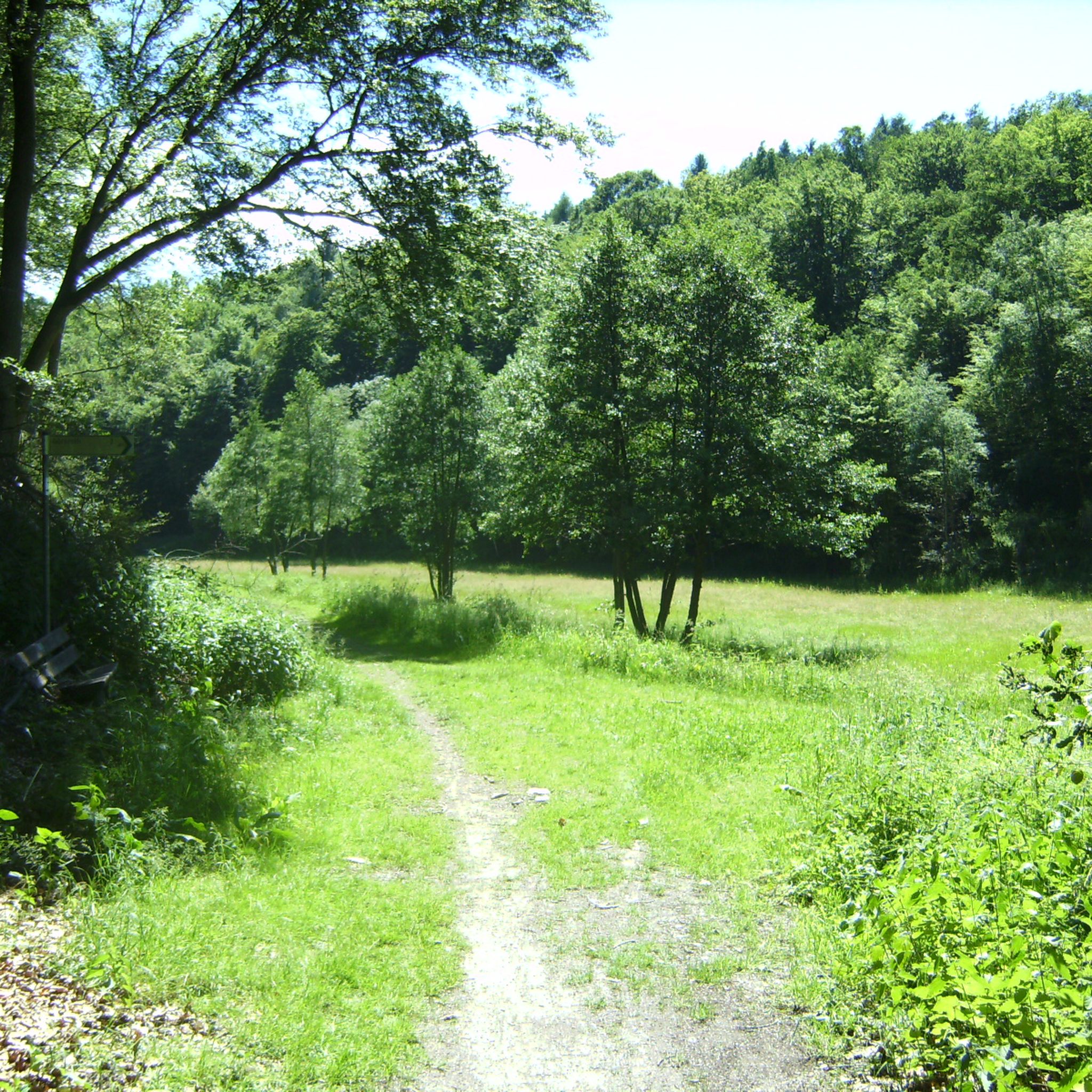
MTB Trails around Bad Camberg
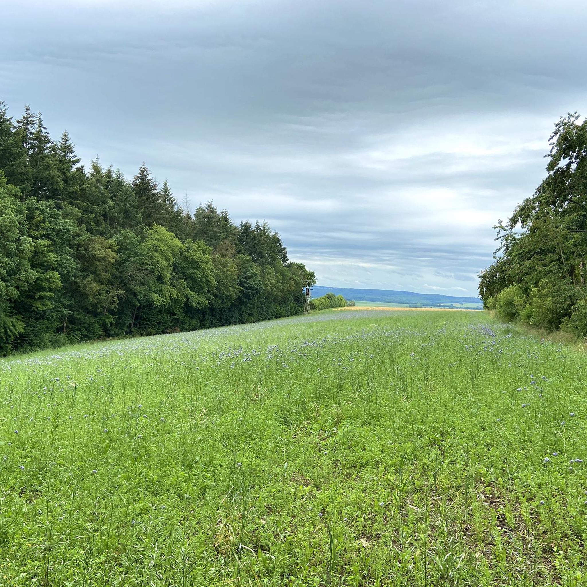
Running Trails around Bad Camberg
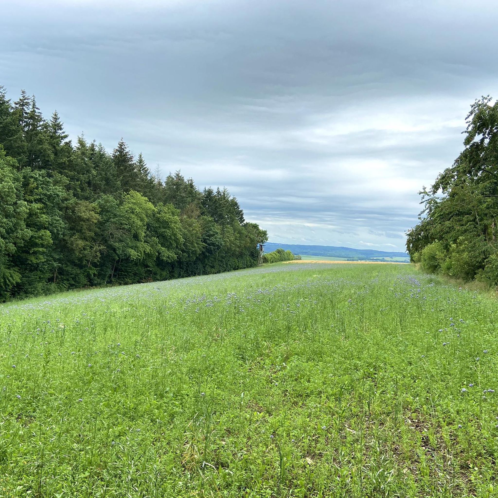
Road Cycling Routes around Bad Camberg
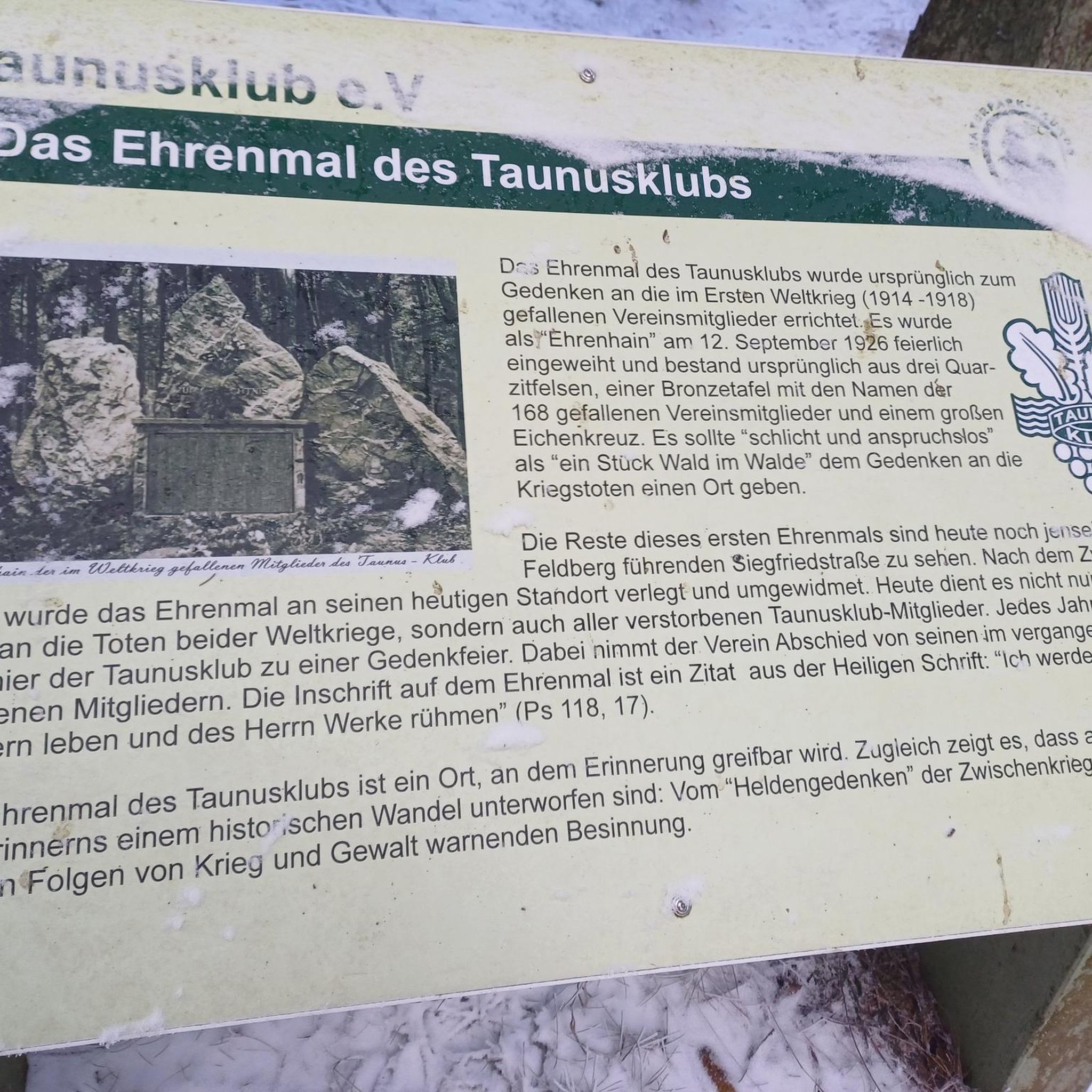
Gravel biking around Bad Camberg
Mountain Hikes around Bad Camberg

Tips from the Community

A great vantage point! The view into the valley as well as in the other direction to the Großer Feldberg is great.
2
0

Unfortunately, the drought and wind have changed the landscape here too. There is now also a very nice view towards the Glaskopf. In the other directions the trees obscure the view significantly more.
2
0

short, challenging trail to the Weilsberg, it's worth it, the view and the idyll, mostly you're all to yourself here and can enjoy nature.
1
1

In summer you can hardly see anything from the bike path. You have to climb a bit on foot to get a view of the rocks.
4
0

As if out of nowhere, a rock with a summit cross appears and invites you to climb.
2
1

At 700.7 meters, the Weilsberg is the fourth highest mountain in the Taunus! However, the summit is rather unspectacular and despite the extensive clearing (because of bark beetle infestation) there is hardly a view worth mentioning up here 😒 Unfortunately, the access roads are currently in a catastrophic condition (cause: harvester). https://de.wikipedia.org/wiki/Weilsberg?oldformat=true
9
0

A trigonometric point (TP) ... is an observation point of the national survey ... It forms ... an essential basis for geodesy and cartography. ... Ground points are marked in the open area by an underground granite or steel plate, which is about 1 meter deep and in the middle of which a cross mark is carved. A pillar (long granite stone) with a square cross-section is dug above it as a visible "day mark", the headpiece of which protrudes about 20 cm from the ground and also has a chisel cross or a drill hole located exactly above the cross of the underground slab. (Source: Wikipedia). Dillenberg with 682m the # 8 of the highest peaks in the Taunus. PS: at Dillenberg there are deviations between the points in the area and those in the maps (Kommot & GPS device) of about 30m; there was no such thing at Junkernberg.
1
0

When you arrive at the top, open the small box, read and sort your thoughts.
10
0
Frequently Asked Questions
What are some notable mountain peaks and viewpoints around Bad Camberg?
The region offers several distinctive peaks and viewpoints. The Pferdskopf Observation Tower provides expansive views, including towards the Feldberg, after an ascent of 163 steps. Another popular spot is the View from the Mensfelder Kopf, a natural monument offering panoramic views of Limburg and the Feldberg. The Dillenberg Summit is also a significant peak in the Taunus, offering views into the valley and towards the Großer Feldberg.
Are there any historical sites on or near the mountain peaks in Bad Camberg?
Yes, the area is rich in history. The Kapellenhügel is home to the historic Kreuzkapelle, a Catholic pilgrimage church offering panoramic views over the Goldener Grund. Further afield, the Kleiner Feldberg hosts the highest Roman fort on the entire Limes, a UNESCO World Heritage site, where foundations of the fort and a bathhouse are still visible.
What is the highest elevation in the Limburg-Weilburg district near Bad Camberg?
The highest elevation in the Limburg-Weilburg district is the Kuhbett, standing at 526 meters. It's located within Bad Camberg's city forest and is a popular destination for hikers, with trails like 'Bad Camberg-Kernstadt - Kuhbett - Feldberg-Blick - Schwickershausen' exploring its forested landscape.
Are there family-friendly mountain trails around Bad Camberg?
Many trails in the Bad Camberg area are suitable for families. For instance, the Pferdskopf Observation Tower and the View from the Mensfelder Kopf are both categorized as family-friendly highlights. You can find easy hiking options such as the 'Vorderwald Forest Path – Treetop Walk Bad Camberg loop' or the 'Chapel of the Cross, Bad Camberg – Amthof Bad Camberg loop' on the Easy hikes around Bad Camberg guide.
What kind of natural features can I expect to see on the mountain peaks?
Beyond panoramic views, you can encounter diverse natural features. The Großer Zacken is a distinctive rock formation popular with climbers, offering views of the Emsbachtal. The Hirschsteinlai Rock Formation is another notable feature in the forest. The Stone Circle on Glaskopf Summit, while the summit itself is not always scenic, marks an old quarry site with interesting geological layering.
What outdoor activities can I do near these mountain peaks?
The region around Bad Camberg is excellent for various outdoor activities. You can enjoy hiking on numerous trails, including those leading to the Kuhbett or the Kreuzkapelle. Cycling is also popular, with options for road cycling and touring bicycle routes. For specific routes, explore guides like Easy hikes around Bad Camberg, Road Cycling Routes around Bad Camberg, and Cycling around Bad Camberg.
Are there challenging mountain climbs or difficult trails for experienced hikers?
While many trails are moderate, some areas offer more challenging experiences. The Großer Zacken rock formation serves as a training ground for climbers. The Hirschsteinlai Rock Formation and the Stone Circle on Glaskopf Summit are also categorized as challenging in parts, often involving narrow or less visible paths.
What do visitors enjoy most about the mountain peaks around Bad Camberg?
Visitors particularly appreciate the expansive panoramic views offered from various points, such as the Pferdskopf Observation Tower and the Kreuzkapelle. The blend of natural beauty with historical significance, like the Roman fort on Kleiner Feldberg, also draws interest. The komoot community has shared over 1300 photos and given more than 1200 upvotes, highlighting the area's appeal for scenic exploration.
Is there parking available for mountain hikes in the Bad Camberg area?
Yes, for peaks like the Kuhbett, there is a parking area at 452 meters elevation, making it relatively accessible for various outdoor activities. Specific parking details for other trailheads can often be found within individual route descriptions on komoot.
Can I reach the mountain trails using public transport?
Bad Camberg itself is accessible by public transport. While direct public transport to every trailhead might be limited, many routes start from or pass through the town or nearby villages, which may have bus or train connections. It's advisable to check local transport schedules for specific starting points.
What is the Steinkopf and what can I see there?
The Steinkopf is an elevation up to 317 meters on the western edge of Bad Camberg. A specific point of interest there is the 'Eiserner Hirsch' (Iron Deer), which offers a beautiful view and is considered a worthwhile detour for those exploring the area by foot or bike.
Are there any specific tips for visiting the Pferdskopf Observation Tower?
The Pferdskopf Observation Tower is freely accessible and offers a great view, even as far as the Feldberg, after climbing 163 steps. While the ascent can be a bit queasy for some, the wonderful panoramic view compensates for the effort, especially on clear days.
Most popular routes around Bad Camberg
Most popular attractions around Bad Camberg

Get inspired with the komoot mobile app


Explore more
See even more amazing summits around Bad Camberg with these guides:
