The 8 Most Amazing Peaks around Arzbach
Mountain peaks around Arzbach, a municipality with an elevation of 195 meters, offer elevated natural features and viewpoints rather than traditional towering peaks. The region provides scenic vistas and rewarding hiking experiences, often leading to historical sites and notable natural beauty. These elevated locations showcase the undulating terrain and forested environment of the Lahn valley and broader Rhineland-Palatinate landscape. The area is known for its well-maintained hiking trails that cater to various fitness levels.
Best mountain peaks around Arzbach
- The…
Last updated: July 1, 2026
Köppel Observation Tower
Highlight • Viewpoint
Is worth a trip. :-)
Translated by Google •
Tip by

Alarmstange (545 m) – Highest Point of the Montabaurer Höhe
Highlight • Summit
Translated by Google •
Tip by

Sign up now to discover places like this
Get recommendations on the best single tracks, peaks, & plenty of other exciting outdoor places.
Sign up for free
Kaiserstuhl rock outcrop with bench
Highlight • Natural Monument
Translated by Google •
Tip by

Höchst Summit
Highlight • Summit
Translated by Google •
Tip by

Hohe Lay Viewpoint
Highlight • Viewpoint
Translated by Google •
Tip by
Sign up for free to discover even more peaks around Arzbach.
Sign up for free
Already have an account?
Start today with a free account
Your next adventure awaits.
Login or Signup

Tips from the Community

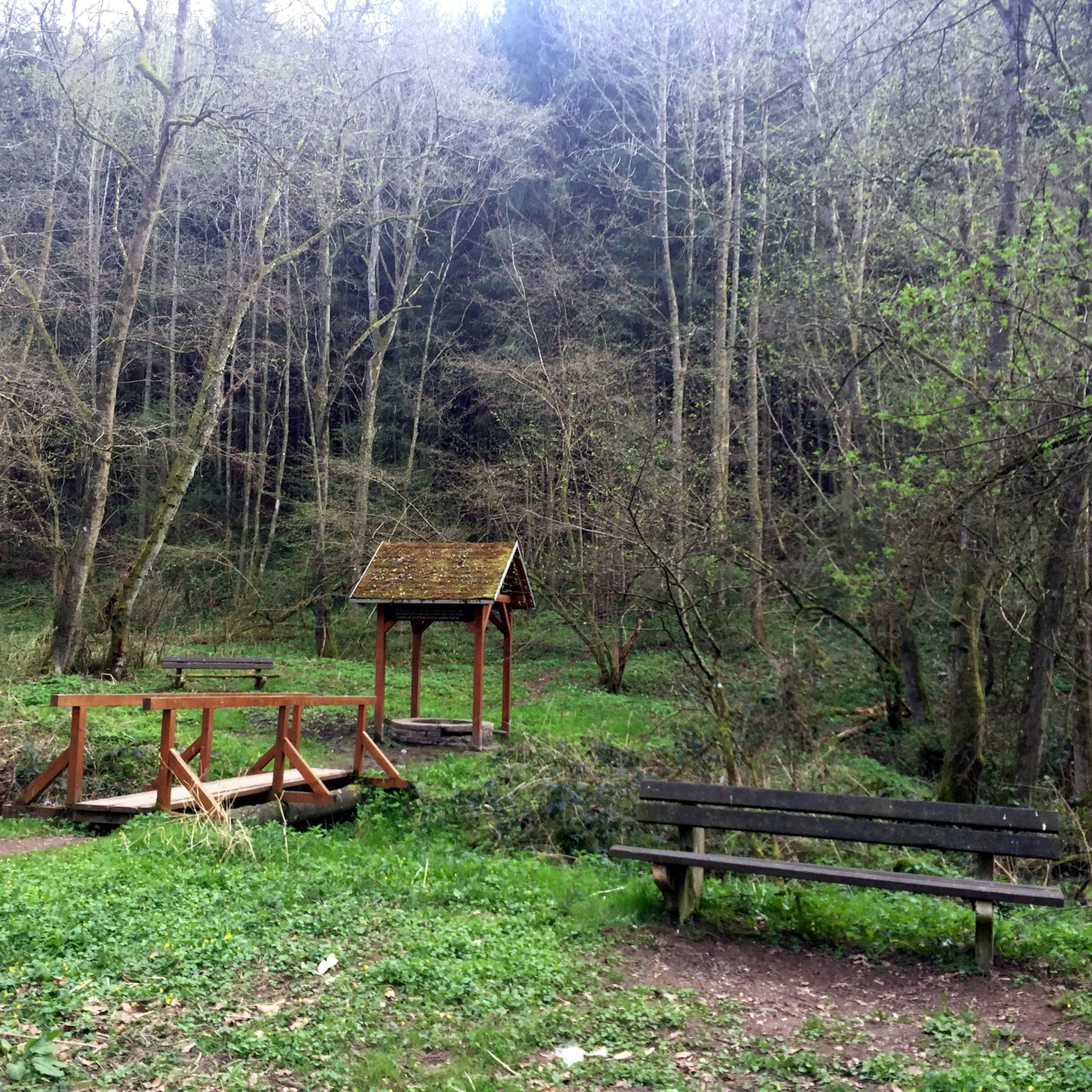
Natural monument, striking rocky outcrop with a bench and a bit of a view.
3
0
Beautiful steep path into the Brexbachtal.
2
0

Today (05/15/2023) the peak has grown again. The stone comes from Schönborn.
1
0

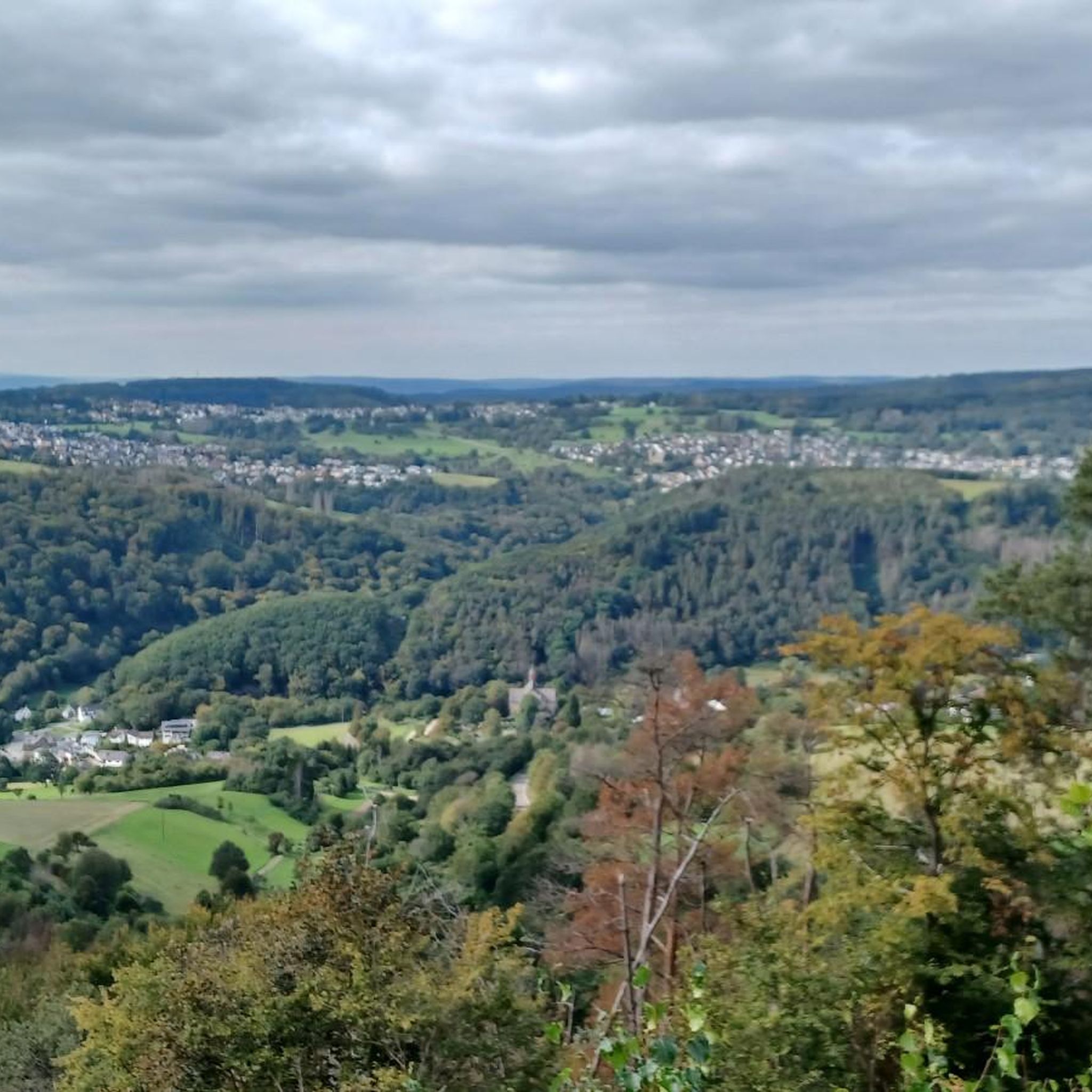
The viewpoint is overgrown. However, the narrow path is a highlight.
3
0

Steep climb but rewarded
2
0

Highest point in the Esterau, as the region around Holzappel is called. At the top there is a large pile of stones and a stone, although I'm not sure whether this should be a boundary stone or a "summit stone" ...?
1
0

The Kaiserstuhl is located above the Brexbachtal near Grenzau and is a certified premium hiking trail (Brexbachschluchtweg). The ascent is somewhat alpine, so good footwear is required. From above you have a great view of the valley.
3
1

The highest! At 443 meters, it is the highest point in the Diez area and the surrounding area.
3
0
Frequently Asked Questions
What are some of the most popular elevated viewpoints around Arzbach?
Visitors frequently enjoy the Köppel Observation Tower, which offers extensive views over the Westerwald. Another favorite is the Hohe Lay Viewpoint, providing scenic vistas of the Lahn Valley, including landmarks like Arnstein Monastery and Langenau Castle.
Are there any historically significant elevated sites near Arzbach?
Yes, the region features several historical sites. The area around the Germanenblick Viewpoint is home to the Stefansturm (Limes Tower), a reconstructed Roman watchtower offering sweeping views and a glimpse into Roman history. Additionally, the Sporkenburg Castle Ruins are situated on an elevated site and are part of popular hiking routes, adding a layer of historical intrigue to your outdoor experience.
What is the highest point in the Montabaurer Höhe region near Arzbach?
The highest point in the Montabaurer Höhe is the Alarmstange (545 m). While often encountered on routes leading to the Köppel, it stands as the highest elevation in the area.
What kind of natural features can I explore on the trails around Arzbach?
Beyond panoramic viewpoints, you can discover unique natural monuments like the Kaiserstuhl rock outcrop with bench, which offers a striking formation and great views down into the Brexbachtal. The Höchst Summit, while modest in height, is recognized as the highest mountain in its immediate region and features a distinctive pile of stones.
Are there family-friendly hiking trails around Arzbach's elevated areas?
Yes, the well-maintained hiking trails around Arzbach cater to various fitness levels, making many suitable for families. For instance, the 'Stefansturm (Limes Tower) – Limoturm on the Großer Kopf loop from Arzbach' is an easy route, and the 'Sporkenburg Castle Ruins – Trail to Sporkenburg loop from Arzbach' is also considered easy, offering pleasant outdoor experiences for all.
What outdoor activities are available near the mountain peaks of Arzbach?
The region around Arzbach is excellent for various outdoor activities. You can find numerous hiking trails, including loops around historical sites like the Sporkenburg Castle Ruins and the Stefansturm (Limes Tower). There are also dedicated running trails and gravel biking routes that explore the scenic Lahn valley and forested environments.
What do visitors particularly enjoy about the elevated areas and trails in Arzbach?
Visitors frequently praise the scenic views, especially from spots like the Köppel Observation Tower, which offers an indescribable panorama of the Westerwald. Many also appreciate the combination of natural beauty with historical significance, such as the Roman Limes watchtower, and the rewarding hiking experiences that lead to these elevated points.
Can I find food or refreshments near the elevated viewpoints?
Yes, for example, the Köppel Observation Tower area includes the Köppelhütte, which offers rustic charm and delicious food. It's advisable to check their opening hours online before your visit.
What is the best time of year to hike the mountain peaks and elevated areas around Arzbach?
The region's lush, forested environment and undulating terrain are beautiful throughout the warmer months. Spring and autumn offer pleasant temperatures and vibrant foliage, making them ideal for hiking and enjoying the scenic views. While specific information on winter hiking is not provided, the area is generally suitable for outdoor activities when conditions are favorable.
Are there challenging hikes for experienced trekkers near Arzbach?
While many trails are moderate, some routes offer more challenge. For instance, the 'Bad Ems Spa Bridge – Stefansturm (Limes Tower) loop from Eitelborn' is categorized as difficult, providing a longer and more strenuous option for experienced hikers looking for a demanding adventure in the region.
How accessible are the elevated areas around Arzbach by public transport?
While Arzbach itself is a municipality, specific details on public transport directly to trailheads or elevated areas are not extensively detailed. However, the region is generally well-connected, and many hiking routes are accessible from villages and towns that may have public transport links. It's recommended to check local transport schedules for the most up-to-date information when planning your trip.
Most popular routes around Arzbach
Most popular attractions around Arzbach

Get inspired with the komoot mobile app


Explore more
See even more amazing summits around Arzbach with these guides:
