The best road cycling routes around Weldon Spring
4.8
(38)
776
riders
47
rides
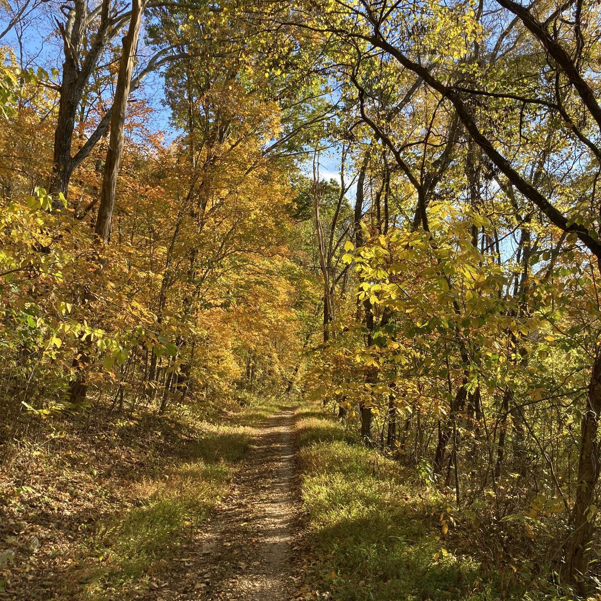
Road cycling routes around Weldon Spring traverse diverse landscapes, including the extensive Katy Trail State Park and the Weldon Spring Conservation Area. The region is characterized by its mostly forested terrain, wetlands, and limestone cliffs, offering varied cycling experiences. Riders can expect a mix of generally flat rail-trails and sections with challenging hills, providing scenic views of the Missouri River. These natural features make Weldon Spring a compelling destination for road cyclists.
Best road cycling routes around Weldon Spring
- The…
Last updated: July 7, 2026
14
riders
52.9km
03:07
80m
80m
Moderate road ride. Good fitness required. Some segments of this route may be unpaved and difficult to ride.
4
riders
84.0km
03:51
390m
390m
Moderate road ride. Good fitness required. Some segments of this route may be unpaved and difficult to ride.

Sign up for free
4.5
(4)
116
riders
Moderate road ride. Great for any fitness level. Some segments of this route may be unpaved and difficult to ride.
16
riders
Moderate road ride. Good fitness required. Some segments of this route may be unpaved and difficult to ride.
17
riders
Moderate road ride. Good fitness required. Mostly well-paved surfaces and easy to ride.
Get access to more routes and recommendations from other explorers.
Sign up for free
Already have an account?
Our route recommendations are based on thousands of hikes, rides, and runs completed by other people on komoot.
Start today with a free account
Your next adventure awaits.
Login or Signup


Tips from the Community

take the time to stop and enjoy the view while crossing the bridge
1
0

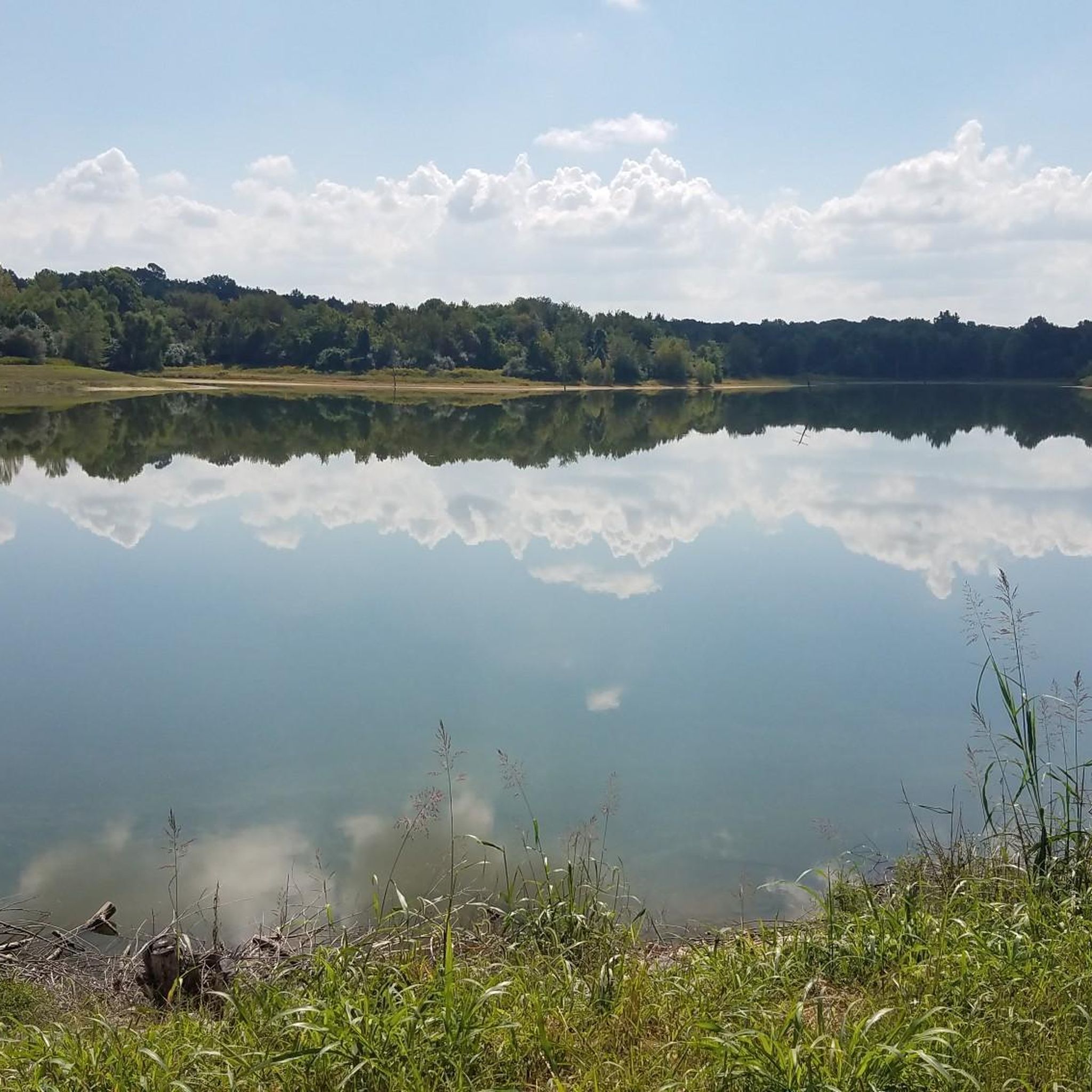
Creve Coeur Lake is a 320-acre lake located in Creve Coeur Lake Memorial Park. The park dates back to 1945 and now offers a place for picnics, non-motorized boating, and fishing.
0
0

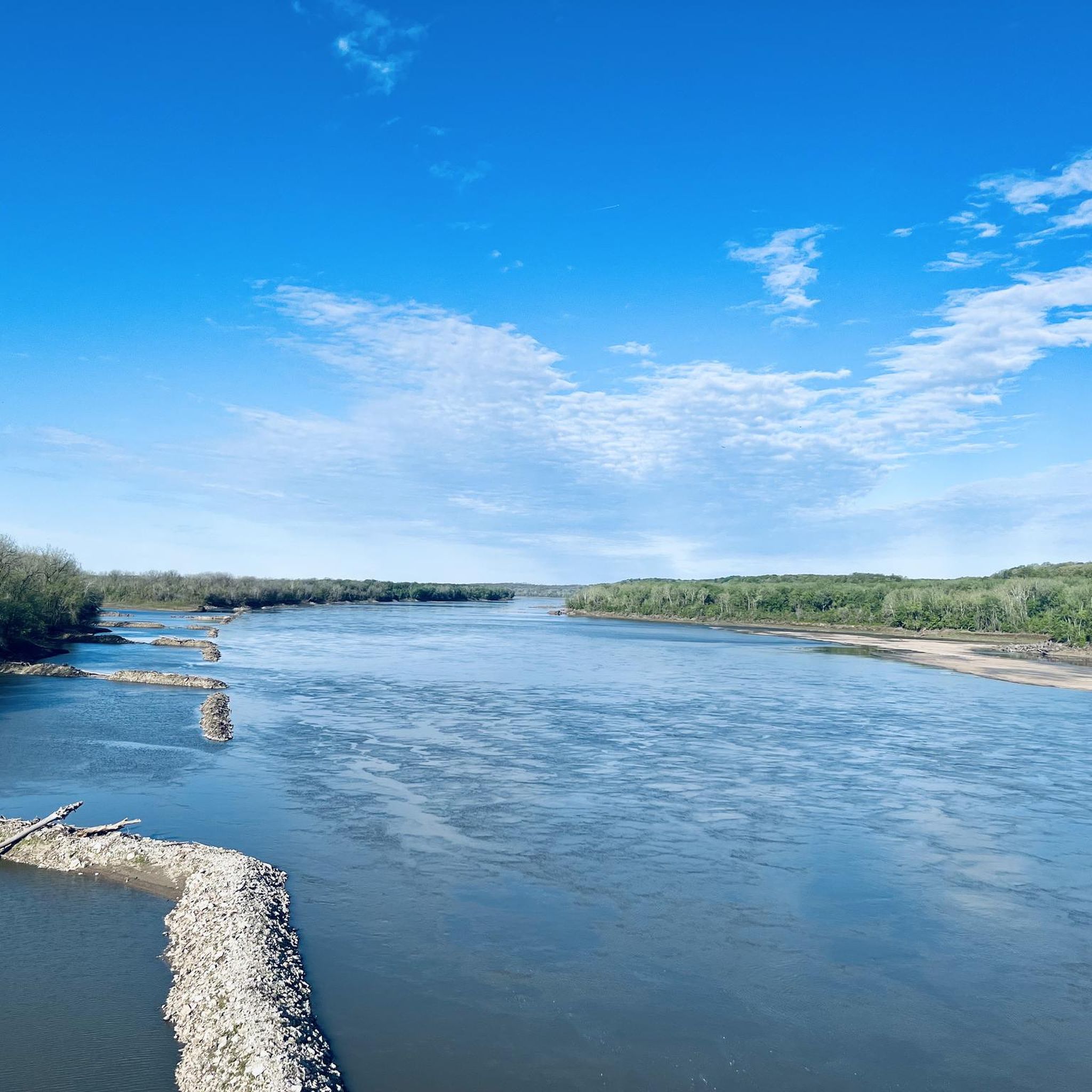
Fantastic bike path over the Daniel Boone Bridge. Great views of the Missouri.
1
0
Great bike path connecting the Creve Coeur Lake trail system to the Veterans Memorial Bridge
0
0
Awesome new bike path with amazing, smooth surface
0
0
Frequently Asked Questions
What types of road cycling routes can I expect in Weldon Spring?
Weldon Spring offers a diverse range of road cycling experiences. You'll find generally flat, crushed limestone rail-trails like sections of the Katy Trail, ideal for leisurely rides. There are also routes with varied terrain and challenging hills, particularly within the Weldon Spring Conservation Area, providing scenic views of the Missouri River. The area features both paved and crushed limestone surfaces.
Are there any easy or family-friendly road cycling routes in Weldon Spring?
Yes, Weldon Spring has options suitable for families and beginners. The Katy Trail, accessible from Weldon Spring, is largely flat and offers a smooth, crushed limestone surface, making it excellent for easy rides. For example, the route Centaur Road – Wild Horse Creek Road loop from Daniel Boone Bridge is rated as easy and covers 32.2 km.
What kind of scenery and natural features will I encounter on road cycling routes?
Road cycling routes in Weldon Spring are rich in natural beauty. You'll ride through extensive forested areas, wetlands, and grasslands, especially within the Weldon Spring Conservation Area. Many trails offer impressive vistas of the Missouri River, particularly along the Lewis and Clark Trail. You can also spot diverse wildlife and enjoy the rugged riverbreaks topography and limestone cliffs. Highlights like the Missouri River Overlook provide stunning viewpoints.
Where can I park my car when accessing road cycling routes in Weldon Spring?
The Weldon Spring Trailhead provides convenient parking for cyclists accessing the Katy Trail. Additionally, the Busch Greenway parking lot in Missouri Research Park offers another access point. For routes within the Weldon Spring Conservation Area, designated parking areas are available, often near trail entrances.
Is public transport available to reach the cycling trails in Weldon Spring?
While Weldon Spring is primarily accessed by car, local public transport options to the immediate trailheads, especially the Katy Trail Weldon Spring trailhead, may be limited. It's advisable to check local transit schedules or consider ride-sharing services if you plan to rely on public transportation.
Do I need any permits to cycle in the Weldon Spring Conservation Area?
Generally, individual cyclists do not require special permits to ride on the established trails within the Weldon Spring Conservation Area or on the Katy Trail. However, it's always a good practice to check the official Missouri Department of Conservation website for any updated regulations or specific event requirements. You can find more information about the area at mdc.mo.gov.
What is the best time of year for road cycling in Weldon Spring?
The spring and fall seasons are generally considered the best times for road cycling in Weldon Spring. The weather is typically mild, and the natural landscapes offer vibrant colors. Summer can be warm and humid, while winter may bring colder temperatures and potential for snow or ice, which can affect trail conditions, especially on crushed limestone paths like the Katy Trail.
Are there any cafes or restaurants near the cycling routes for refreshments?
Yes, as you cycle through or near Weldon Spring, you'll find various cafes, restaurants, and pubs in nearby towns like Defiance and Augusta. These towns, situated within Missouri Wine Country, offer opportunities to stop for refreshments and experience local hospitality. The Katy Trail passes through several communities with amenities.
What do other road cyclists enjoy most about cycling in Weldon Spring?
The road cycling routes around Weldon Spring are highly rated by the komoot community, with an average score of 4.7 stars from over 20 reviews. Cyclists often praise the direct access to the expansive Katy Trail, the scenic views of the Missouri River, and the varied terrain found within the Weldon Spring Conservation Area. The combination of flat, easy sections and more challenging hilly routes is also frequently highlighted.
Can I bring my dog on the road cycling trails in Weldon Spring?
Many trails in the Weldon Spring area, including the Katy Trail, are dog-friendly, provided your dog is kept on a leash. It's always best to check specific trail regulations for the Weldon Spring Conservation Area, as rules can vary. Ensure you bring water for your pet and clean up after them to maintain trail cleanliness.
Are there any circular road cycling routes available?
Yes, Weldon Spring offers several circular road cycling routes. For instance, the Mononame 207 Reservoir – Le Cave Memorial Trailhead loop from Weldon Spring Heights is a 41.6 km route that takes you through varied landscapes. Another option is the St. Charles, New Town, & Cottleville loop from Weldon Spring, which is a longer 84 km path connecting several towns.
What is the typical terrain and elevation gain on Weldon Spring road cycling routes?
The terrain varies significantly. The Katy Trail sections are generally flat with minimal elevation gain, featuring a crushed limestone surface. Other routes, particularly those venturing into the Weldon Spring Conservation Area, can include more challenging hills and varied surfaces. For example, the St. Charles, New Town, & Cottleville loop has an elevation gain of over 385 meters, while the From Greens Bottoms Road to Earth City route has only about 75 meters of elevation gain.
Most popular routes around Weldon Spring
Most popular attractions around Weldon Spring

Get inspired with the komoot mobile app


Explore more
Browse the best Road cycling routes in other regions.
