The best road cycling routes around Frontenac
37
riders
5
rides
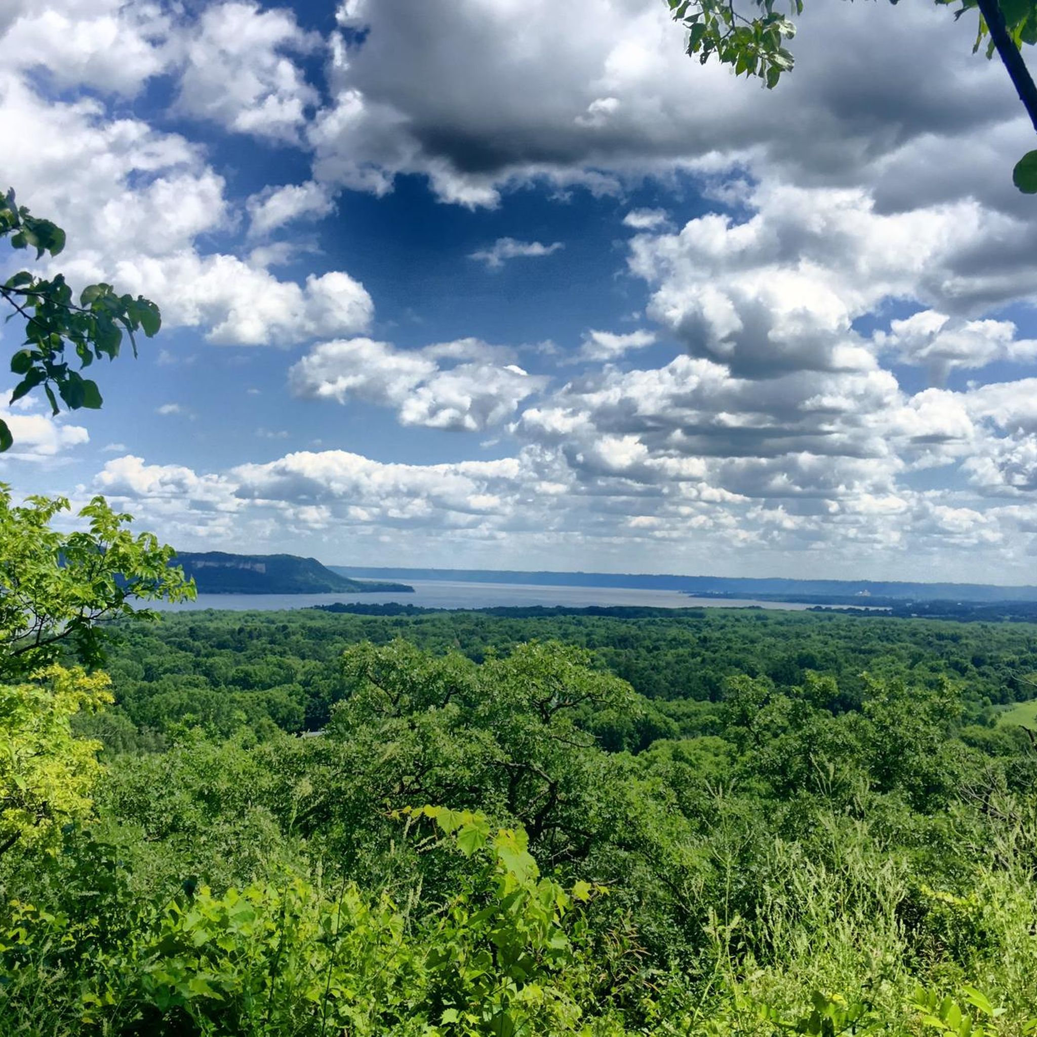
Road cycling around Frontenac features a diverse landscape characterized by the Mississippi River Valley, offering varied topography for cyclists. The region includes rolling hills and scenic overlooks, providing engaging routes for different skill levels. Cyclists can explore areas with views of the Mississippi River and its surrounding bluffs. The terrain primarily consists of paved roads suitable for road bikes.
Best road cycling routes around Frontenac
- The most popular road cycling route is Geographic Monument/Scenic Overlook – View of the Mississippi…
Last updated: July 11, 2026
34
riders
Hard road ride. Very good fitness required. Mostly well-paved surfaces and easy to ride.
1
riders
57.3km
02:30
340m
340m
Moderate road ride. Good fitness required. Mostly well-paved surfaces and easy to ride.

Sign up for free
1
riders
63.6km
02:46
280m
280m
Moderate road ride. Good fitness required. Mostly well-paved surfaces and easy to ride.
49.3km
02:13
460m
460m
Moderate road ride. Good fitness required. Mostly well-paved surfaces and easy to ride.
1
riders
67.1km
03:39
600m
600m
Moderate road ride. Good fitness required. Some segments of this route may be unpaved and difficult to ride.
Our route recommendations are based on thousands of hikes, rides, and runs completed by other people on komoot.
Start today with a free account
Your next adventure awaits.
Login or Signup
Popular around Frontenac
Tips from the Community

This off-road, paved trail runs for 10 miles along County Road 21 from the bottom of Flower Valley near Wacouta on Highway 61 up to the top of the valley at State Highway 58 near Minnesota State College Southeast–Red Wing Campus. Bullard Creek flows through this valley before emptying into the Mississippi River. OpenStreetMap-based apps show the trail extending nearly to Highway 61, but in reality, it begins at Circle South Road. Trail users must park on Circle South Road; there is no parking lot and no restrooms. The views of Flower Valley, the Mississippi Valley, and the towering bluffs on the opposite side of the Mississippi make this trail well worth a visit.
4
0
In 1686, French explorer Nicholas Perrot established Fort St. Antoine on the shores of Lake Pepin, an expansive stretch of the Mississippi River. Intended as a fortified trading post, the fort helped forge alliances and expand the French fur trade with the Dakota and other local tribes. On May 8, 1689, Perrot held a ceremony at the fort to formally claim the entire Upper Mississippi Valley for France. However, due to conflict in the region and the fort’s crude construction, it was abandoned around 1690. No physical trace of the fort remains today, but its location is commemorated by Wisconsin State Historical Marker 22 along the Great River Road, overlooking scenic Lake Pepin.
3
0

Nice place to see the river, playground, picnic area, benches along the shore line. I have peddled it several times, but it's not very good for that, small trails and a lot of people walking 2 by 2 that don't hear that you want to go past them.
0
0
Menu looks interesting, the building didn't look super friendly in the winter
0
0
Interesting Teepee by the football stadium and ice rink by Red Wing High School
0
0
Nice parking lot and access to the trail. During the summer has a porta potty too. (Didn't today for some reason)
0
0
Great beer and pizza, nice stop at the end of the trail before turning to head back to Welch or Cannon Falls.
1
0
Frequently Asked Questions
What kind of terrain can I expect when road cycling around Frontenac?
Road cycling around Frontenac is characterized by the Mississippi River Valley, offering a diverse and engaging topography. You'll encounter rolling hills and scenic overlooks, with routes primarily on paved roads. The area provides varied terrain suitable for different skill levels, from moderate to difficult.
Are there any challenging road cycling routes in Frontenac?
Yes, Frontenac offers routes for experienced cyclists. The most difficult route is the Geographic Monument/Scenic Overlook – View of the Mississippi River loop from Lake Pepin, which spans 74.1 miles (119.3 km) and involves significant elevation changes, providing extensive views of the Mississippi River.
What are some popular road cycling routes in the Frontenac area?
Among the most popular routes are the Geographic Monument/Scenic Overlook – View of the Mississippi River loop from Lake Pepin, known for its extensive river views, and the Red Wing High School Stadium – Red Wing Brewery loop from Red Wing, which combines urban and scenic sections through the Red Wing area.
What can I see along the road cycling routes in Frontenac?
Many routes offer stunning views of the Mississippi River and its bluffs. You can also explore natural landmarks such as the Rush River Delta State Natural Area and Maiden Rock Bluff. Other scenic viewpoints include the Blufftop view of Pleasant Valley Lakelet and Creek and the Mississippi River View from Rattlesnake Bluff.
Are there any historical sites or points of interest near the cycling routes?
Yes, you can find historical points of interest such as the Site of Fort St. Antoine (1686) Historic Marker and Wayside. Additionally, the Sand Point - Lake Pepin offers a scenic beach area to explore.
Are there any loop routes for road cycling in Frontenac?
Yes, several routes are designed as loops, allowing you to start and end in the same location. Examples include the Geographic Monument/Scenic Overlook – View of the Mississippi River loop from Lake Pepin and the Red Wing Arts – Bay Point Park loop from Lake Pepin.
What is the best time of year for road cycling in Frontenac?
While specific seasonal considerations are not detailed, the region's diverse landscapes and river valley views suggest that spring, summer, and fall would offer pleasant conditions for cycling, with vibrant foliage in autumn and lush greenery in warmer months. Always check local weather conditions before heading out.
What is the typical duration for road cycling routes in Frontenac?
Route durations vary depending on distance and difficulty. For example, the moderate Red Wing Arts – Bay Point Park loop from Lake Pepin can be completed in about 2 hours 45 minutes, while the more difficult Geographic Monument/Scenic Overlook – View of the Mississippi River loop from Lake Pepin typically takes around 5 hours 24 minutes.
Are there any moderate road cycling options available?
Yes, the majority of road cycling routes in Frontenac are classified as moderate. These include the Red Wing High School Stadium – Red Wing Brewery loop from Red Wing, the Red Wing Arts – Bay Point Park loop from Lake Pepin, and the View of the Mississippi River loop from Maiden Rock, offering a good balance of challenge and accessibility.
How many road cycling routes are available in Frontenac?
There are at least 5 distinct road cycling routes detailed for the Frontenac area, ranging from moderate to difficult, all offering unique perspectives of the Mississippi River Valley.
What makes road cycling in Frontenac unique?
The unique geological formation of the Frontenac Arch, connecting the Canadian Shield to the Adirondack Mountains, contributes to a varied topography with rolling hills and breathtaking views. The convergence of five distinct forest regions also creates exceptional biodiversity, enhancing the scenic beauty of the rides.
Can I find routes that offer both natural beauty and community access?
Absolutely. Routes like the Red Wing High School Stadium – Red Wing Brewery loop from Red Wing cycle through the Red Wing area, providing a mix of urban settings and scenic natural sections. This allows cyclists to experience both the natural beauty of the river valley and the charm of local communities.
Most popular routes around Frontenac
Most popular attractions around Frontenac

Get inspired with the komoot mobile app


Explore more
Browse the best Road cycling routes in other regions.
