The best road cycling routes around Burnsville
4.8
(104)
1,147
riders
119
rides
Road cycling around Burnsville offers an extensive network of paved trails and routes within the Minnesota River Valley. The terrain features gentle elevation changes, accommodating various skill levels, and provides scenic views along rivers and around lakes. The city's commitment to expanding bike lanes and paths enhances the cycling experience, connecting riders to diverse natural areas and parks.
Best road cycling routes around Burnsville
- The most popular road cycling route is Minnesota River and Big Rivers Trail Loop, a…
Last updated: October 15, 2026
3
riders
49.5km
02:10
320m
320m
Cycle this 30.8-mile (49.5 km) moderate loop along the Minnesota and Mississippi Rivers, offering diverse scenery and historic views.
52.1km
02:23
420m
420m
Cycle the Big Rivers and Mississippi River Trail Loop, a 32.4-mile moderate road cycling route with scenic river views and historical sites.

5.0
(3)
50
riders
24.6km
00:59
90m
90m
Easy road ride. Great for any fitness level. Mostly well-paved surfaces and easy to ride.
7
riders
44.8km
02:19
270m
270m
Moderate road ride. Good fitness required. Some segments of this route may be unpaved and difficult to ride.
5.0
(1)
3
riders
33.6km
01:54
210m
210m
Moderate road ride. Great for any fitness level. Some segments of this route may be unpaved and difficult to ride.
Get access to more routes and recommendations from other explorers.
Already have an account?
Our route recommendations are based on thousands of hikes, rides, and runs completed by other people on komoot.
Start today with a free account
Your next adventure awaits.

Tips from the Community

This is a different name for the Old Cedar Avenue Bridge.
2
0
Finally made it across this bridge, it's in really good shape. 2 big bike lanes in the center with walking paths on the outside.
1
0
A nice paved section of biking trail with some mountain biking running next to it through the woods along the river.
2
0
Big bridge with a neat bike section mounted lower than the car section. Nice way to cross the river on a bike.
2
0
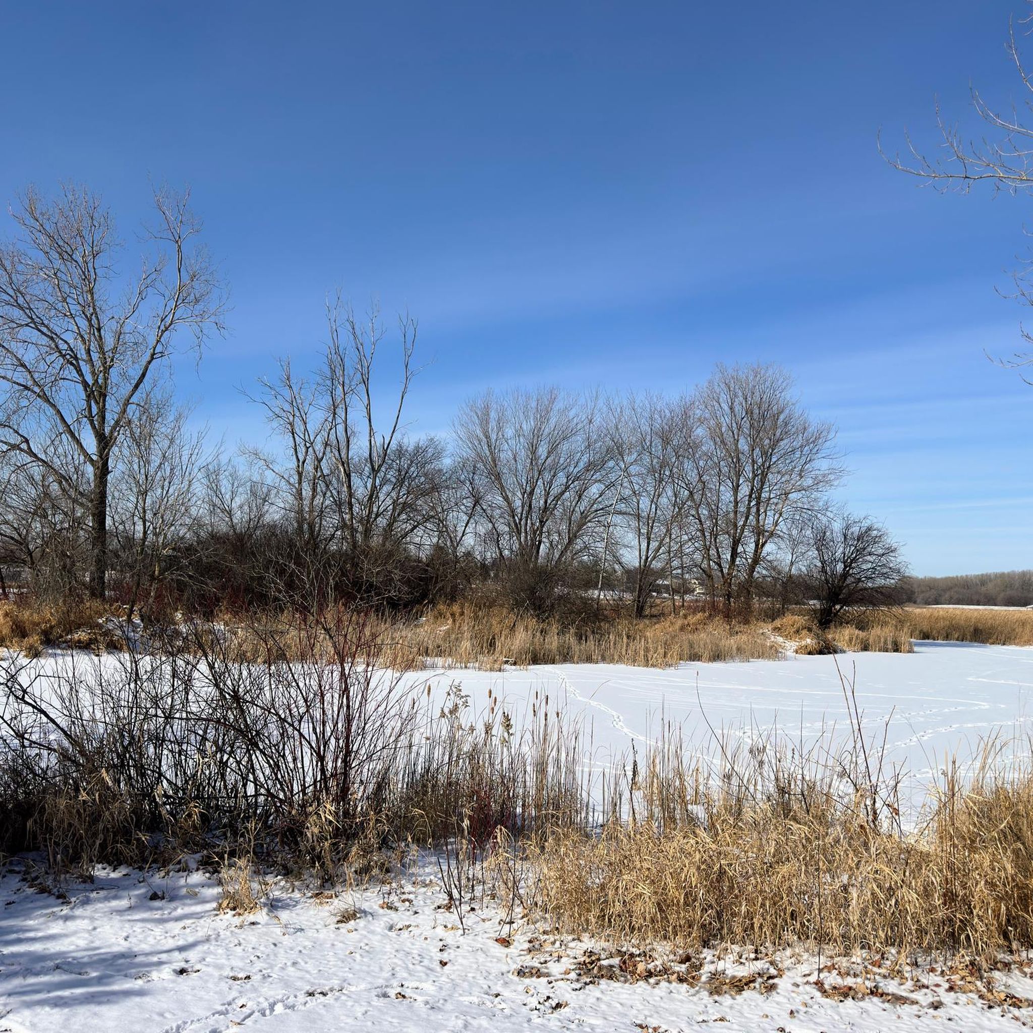
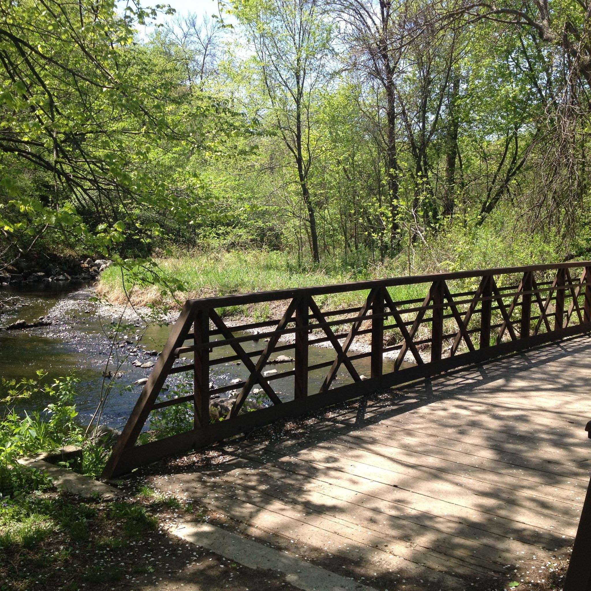
Nice neighborhood park, pretty big, nice hiking trail around half the lake with a bridge to cross it. Big picnic building, playground, volleyball, and fishing dock.
2
0
Nice view over Black Dog Lake, not many birds out today
0
0
Nice river views from the bike path.
0
0

The Old Cedar Avenue Bridge has wide views of the Minnesota River. It's a popular spot for birdwatching—herons, egrets, and other wildlife are often seen here. The bridge connects to trails in the Minnesota Valley National Wildlife Refuge, making it a good detour or rest point during a longer ride.
1
0
Frequently Asked Questions
What kind of terrain can I expect on road cycling routes around Burnsville?
Road cycling routes in Burnsville are primarily located within the Minnesota River Valley, featuring paths along rivers and around lakes. The terrain generally includes gentle elevation changes, making it accessible for cyclists of various abilities. Many trails are paved, ensuring a smooth ride for road bikes.
How many road cycling routes are available in Burnsville?
Burnsville offers an extensive network for road cyclists, with over 100 routes available. These range from easy, flat rides to more challenging options with moderate elevation gains.
Are there any easy, family-friendly paved bike trails in Burnsville?
Yes, Burnsville has many easy, paved trails suitable for families. The Old Cedar Avenue Bridge loop from Burnsville is an easy 15.2-mile (24.4 km) trail that leads through riverfront areas. The Minnesota River Greenway is also an easy 11.4-mile (18.3 km) paved trail offering scenic river views and opportunities for wildlife spotting.
What are some scenic viewpoints or natural features I can see while road cycling in Burnsville?
Many routes offer picturesque views of the Minnesota River Valley and Black Dog Lake. You can find an Observation Platform on Black Dog Lake, which is a great spot to take in the scenery. The area also features numerous parks and preserves, including Alimagnet Park and Murphy-Hanrehan Park Reserve, which contribute to the green spaces accessible by trails.
Are there any moderate or advanced road cycling routes for experienced riders?
Yes, for those seeking a bit more challenge, routes like the Minnesota River and Big Rivers Trail Loop offer a moderate 30.8 miles (49.5 km) ride with over 1,000 feet of elevation gain. Another moderate option is the Big Rivers and Mississippi River Trail Loop, which is 32.4 miles (52.1 km) long and features diverse Minnesota landscapes.
What do other road cyclists enjoy most about road cycling in Burnsville?
The road cycling routes in Burnsville are highly rated by the komoot community, with an average score of 4.9 stars. Reviewers often praise the extensive network of paved trails, the scenic river and lake views, and the variety of routes suitable for different skill levels.
Where can I find parking for Burnsville bike trails?
Burnsville provides both off-street and on-street bicycle networks, and many parks and trailheads offer dedicated parking. For specific parking locations, it's advisable to check local city maps or the Burnsville city website for detailed information on trail access points.
Are dogs allowed on Burnsville's paved bike trails, and what are the leash rules?
Many of Burnsville's parks and trails are dog-friendly. Generally, dogs are permitted on paved trails but must be kept on a leash. Specific leash rules and regulations can vary by park or trail section, so it's always best to check local signage or the city's parks and recreation guidelines for the most current information.
Are there any cafes or pubs near the road cycling routes in Burnsville?
Burnsville has various amenities throughout the city. While specific cafes or pubs directly adjacent to every trail segment may vary, the city's network of trails often passes through or near areas with dining options. Planning your route with a stop in mind can help you find suitable places for refreshments.
What is the best time of year for road biking in Burnsville?
Road cycling in Burnsville is particularly popular during June and August, when the weather is generally warm and pleasant. The extensive network of trails is well-maintained, making it enjoyable throughout the warmer months, typically from spring through fall.
Are there any permits required for using the bike trails in Burnsville?
Generally, no special permits are required for recreational road cycling on Burnsville's public bike trails. However, for specific events or certain regional park reserves, it's always a good idea to check with the local authorities or park management for any specific requirements.
Can I access Burnsville's road cycling trails using public transport?
Burnsville has a public transport system that connects various parts of the city. While direct access to every trailhead via public transport might not be available, many routes are accessible within reasonable proximity to bus stops. Checking the local transit schedules and routes can help plan your access.
Most popular attractions around Burnsville

Get inspired with the komoot mobile app


Explore more
Browse the best Road cycling routes in other regions.
