The best road cycling routes around St. Bonifacius
4.5
(7)
314
riders
14
rides
Road cycling routes around St. Bonifacius primarily traverse a landscape characterized by regional trails, open farmland, and park reserves. The area offers a mix of flat sections and gently rolling terrain, with elevations generally remaining under 200 meters, making for accessible rides. Key features include the Dakota Rail Regional Trail and areas like Carver Park Reserve, providing varied scenery for road cyclists. The routes often pass through or near marshlands and offer views of the surrounding rural environment.
Best road…
Last updated: October 18, 2026
5.0
(4)
133
riders
Easy road ride. Great for any fitness level. Mostly well-paved surfaces and easy to ride.
23
riders
48.4km
02:19
250m
250m
Moderate road ride. Good fitness required. Some segments of this route may be unpaved and difficult to ride.

5.0
(1)
36
riders
25.3km
01:12
150m
150m
Easy road ride. Great for any fitness level. Mostly well-paved surfaces and easy to ride.
21
riders
26.0km
01:07
100m
100m
Easy road ride. Great for any fitness level. Mostly well-paved surfaces and easy to ride.
11
riders
Moderate road ride. Good fitness required. Some segments of this route may be unpaved and difficult to ride.
Get access to more routes and recommendations from other explorers.
Already have an account?
Our route recommendations are based on thousands of hikes, rides, and runs completed by other people on komoot.
Start today with a free account
Your next adventure awaits.

Tips from the Community

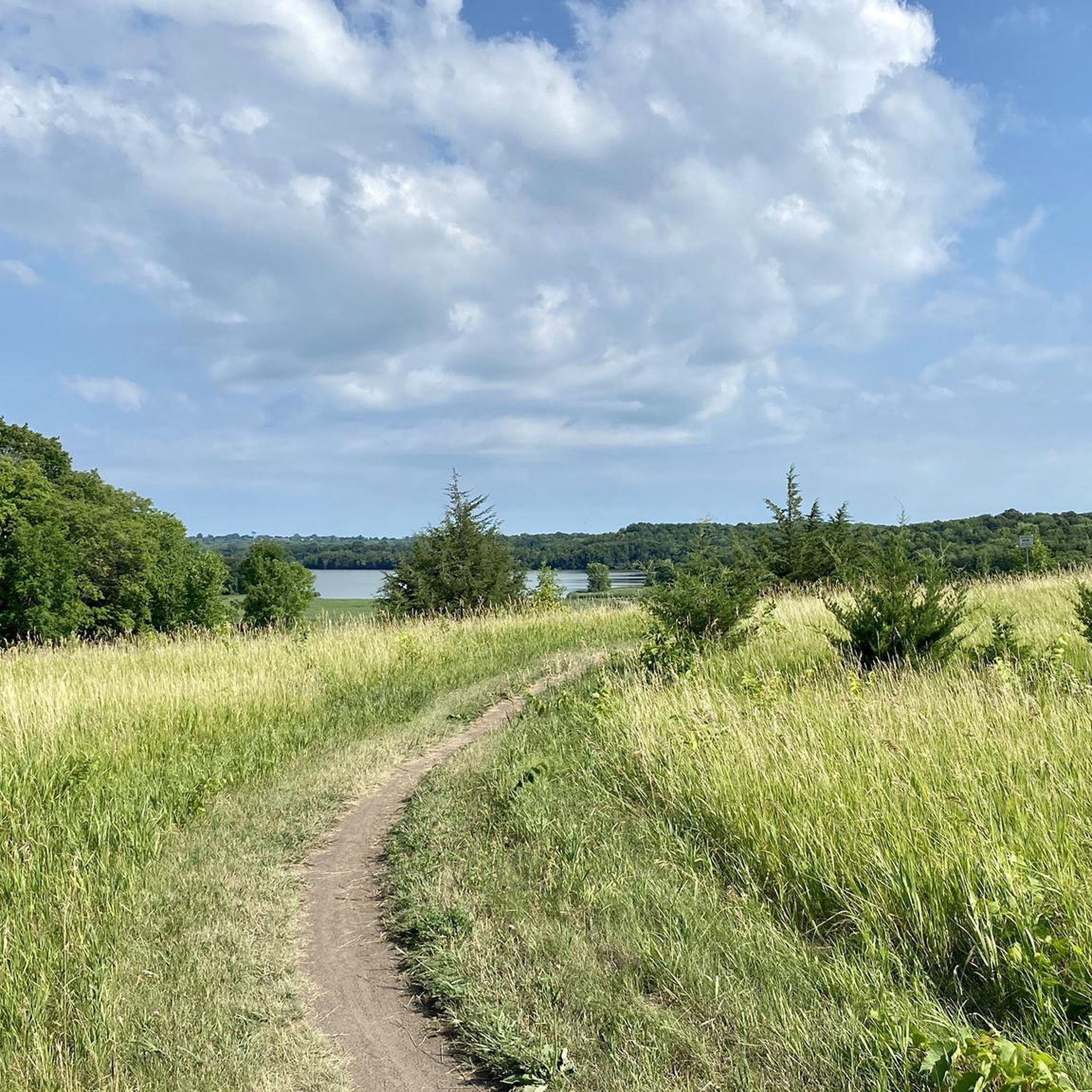
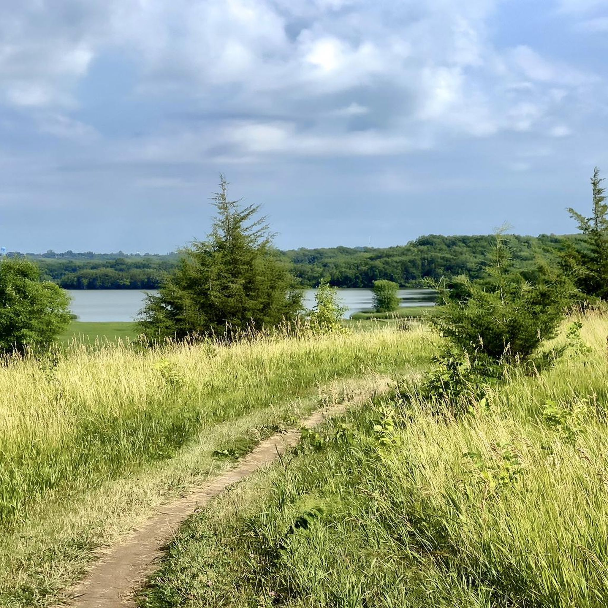
Caught glimpses of it today like you say Matthew. Guessing it pops out more in the fall/winter.
2
0
Lake Waconia is beautiful and huge, lots of good views as you go around.
2
0

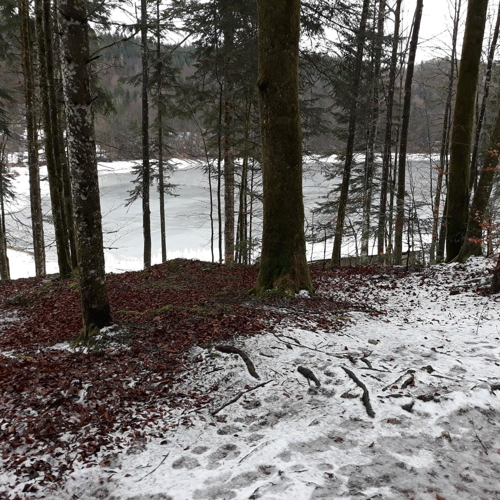
Tamarack Lake is just off the side of the Lake Minnetonka Regional Trail. It's sort of hidden behind some trees and below some cliffs, but you can catch a glimpse if you look for it.
0
0

This short bridge on the Lake Minnetonka Regional Trail give you great views of Saint Albans Bay. It is purpose built for trail users and set apart from the road traffic bridge.
0
0

Walking or biking the iconic Stone Arch Bridge is a must-do while in Minneapolis. The path of the bridge offers stunning views of the Minneapolis skyline and the Mississippi River. The bridge itself is a beautiful stone masterpiece.
0
0

Mill Ruins Park is located in downtown Minneapolis and shows the ruins of several flour mills dating back to the late 1850's. The park was listed in the National Register of Historic Places in 1971. It also offers views of Stone Arch Bridge, St. Anthony Falls, and the Mississippi River.
0
0

The Dakota Rail Regional Trail stretches 28.1 miles from Wayzata to Lester Prairie, Minnesota, along the former Hutchinson Spur of the Great Northern Railway. This paved trail is popular with bikers, skaters, and hikers, offering a look at lakes, wetlands, woodlands, and farmlands. Starting in Wayzata, you can park at the trailhead on Grove Lane and grab a bite or fill up water downtown. The Carver County section extends an additional 12.5 miles west of St. Bonifacius to Mayer. Maps along the trail show your location, restrooms, and nearby services, with parking available at several locations.
0
0
Frequently Asked Questions
How many road cycling routes are available around St. Bonifacius?
There are over 15 road cycling routes documented around St. Bonifacius, offering a variety of options for different skill levels.
Are there easy road cycling routes suitable for beginners in St. Bonifacius?
Yes, St. Bonifacius offers several easy road cycling routes. For instance, the Arcola Trestle Bridge – Dakota Rail Regional Trail loop from Saint Bonifacius is an easy 27.4-mile ride, and the Observation Platform – Carver Park Reserve loop from Six Mile Marsh is a shorter, easy 15.8-mile option.
What are the typical distances for road cycling routes around St. Bonifacius?
Road cycling routes in the St. Bonifacius area vary in length. You can find shorter loops like the 15.8-mile Observation Platform – Carver Park Reserve loop from Six Mile Marsh, or longer rides such as the 27.4-mile Arcola Trestle Bridge – Dakota Rail Regional Trail loop from Saint Bonifacius.
Are the road cycling routes around St. Bonifacius suitable for families?
Many routes around St. Bonifacius, particularly those utilizing regional trails like the Dakota Rail Regional Trail, feature flat sections and gently rolling terrain, making them suitable for families. Easy routes, such as the Dakota Rail Regional Trail loop from Saint Bonifacius, are good choices for a family outing.
Are there challenging road cycling routes for experienced riders in St. Bonifacius?
The road cycling routes around St. Bonifacius are primarily characterized by easy to moderate difficulty levels, with elevations generally remaining under 200 meters. There are no routes classified as difficult in this area, making it more suited for recreational and intermediate cyclists.
What kind of scenery can I expect on road cycling routes in St. Bonifacius?
You can expect diverse scenery including regional trails, open farmland, and park reserves. Routes often pass through or near marshlands and offer views of the surrounding rural environment. The Bench With View of Farmland loop from Mound specifically highlights the agricultural landscapes.
What can I see along the road cycling routes in St. Bonifacius?
Along the routes, you can encounter natural attractions like Lake Auburn and Sunny Lake. The View of Lake Waconia from the Dakota Trail is another notable point of interest.
When is the best time of year to go road cycling in St. Bonifacius?
The best time for road cycling in St. Bonifacius is typically from late spring through early autumn (May to October), when the weather is mild and the trails are clear of snow and ice. Summer offers warm temperatures, while spring and fall provide cooler rides and vibrant foliage.
Are there loop road cycling trails available in St. Bonifacius?
Yes, many road cycling routes in St. Bonifacius are designed as loops, offering convenient starting and ending points. Examples include the Arcola Trestle Bridge – Dakota Rail Regional Trail loop from Saint Bonifacius and the Observation Platform – Carver Park Reserve loop from Six Mile Marsh.
What do other road cyclists enjoy the most about road cycling in St. Bonifacius?
The road cycling routes in St. Bonifacius are highly rated by the komoot community, with an average score of 5.0 stars. Reviewers often praise the accessibility of the regional trails, the varied scenery of farmland and park reserves, and the overall pleasant riding experience.
Is parking available near road cycling routes in St. Bonifacius?
Yes, regional trails like the Dakota Rail Regional Trail typically offer designated parking areas at various access points, making it convenient to start your road cycling adventure around St. Bonifacius.
Can I go road cycling in St. Bonifacius during winter?
While some dedicated winter cycling might be possible on plowed paths, many road cycling routes in St. Bonifacius, especially regional trails, may be covered in snow and ice during the winter months. It's generally recommended to check local conditions and trail status before planning a winter ride.
Most popular attractions around St. Bonifacius

Get inspired with the komoot mobile app


Explore more
Browse the best Road cycling routes in other regions.
