The best running trails around Richfield
4.8
(18)
3,793
runners
226
runs
Jogging routes around Richfield offer access to a diverse network of parklands and natural preserves. The region features over 450 acres of parkland, including areas with crushed limestone walking trails, floating boardwalks, and longer regional bike paths. Runners can explore varied terrain from tranquil natural areas like the Wood Lake Nature Center to paths alongside lakes and creeks. This varied landscape provides numerous options for active recreation, from easy jogging routes to more challenging running trails.
Best jogging routes around…
Last updated: August 11, 2026
5.0
(1)
30
runners
Moderate run. Good fitness required. Mostly paved surfaces. Suitable for all skill levels.
5.0
(1)
23
runners
Moderate run. Good fitness required. Mostly paved surfaces. Suitable for all skill levels.

Sign up for free
15
runners
6.49km
00:40
30m
30m
Moderate run. Good fitness required. Mostly paved surfaces. Suitable for all skill levels.
13
runners
5.41km
00:35
50m
50m
Moderate run. Good fitness required. Mostly paved surfaces. Suitable for all skill levels.
13
runners
Moderate run. Good fitness required. Mostly paved surfaces. Suitable for all skill levels.
Get access to more routes and recommendations from other explorers.
Sign up for free
Already have an account?
Our route recommendations are based on thousands of hikes, rides, and runs completed by other people on komoot.
Start today with a free account
Your next adventure awaits.
Login or Signup

Tips from the Community

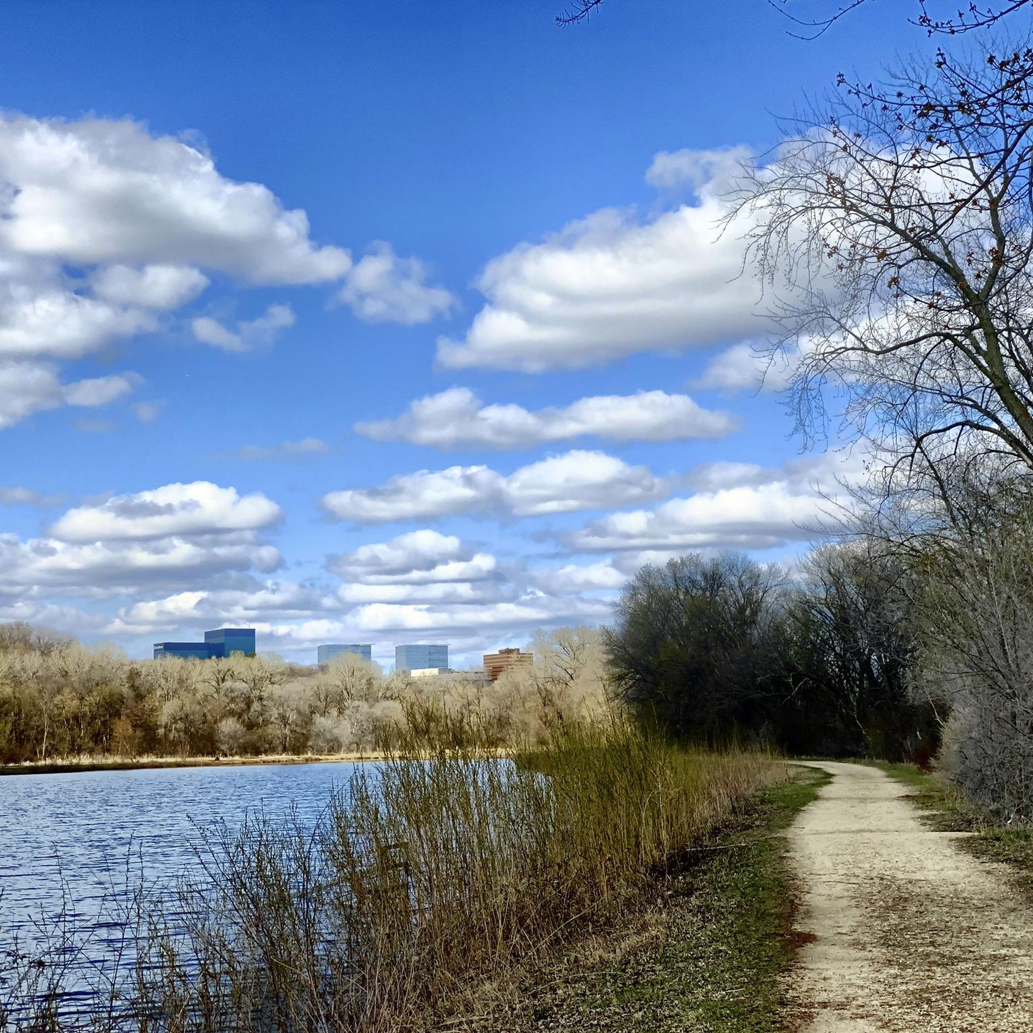
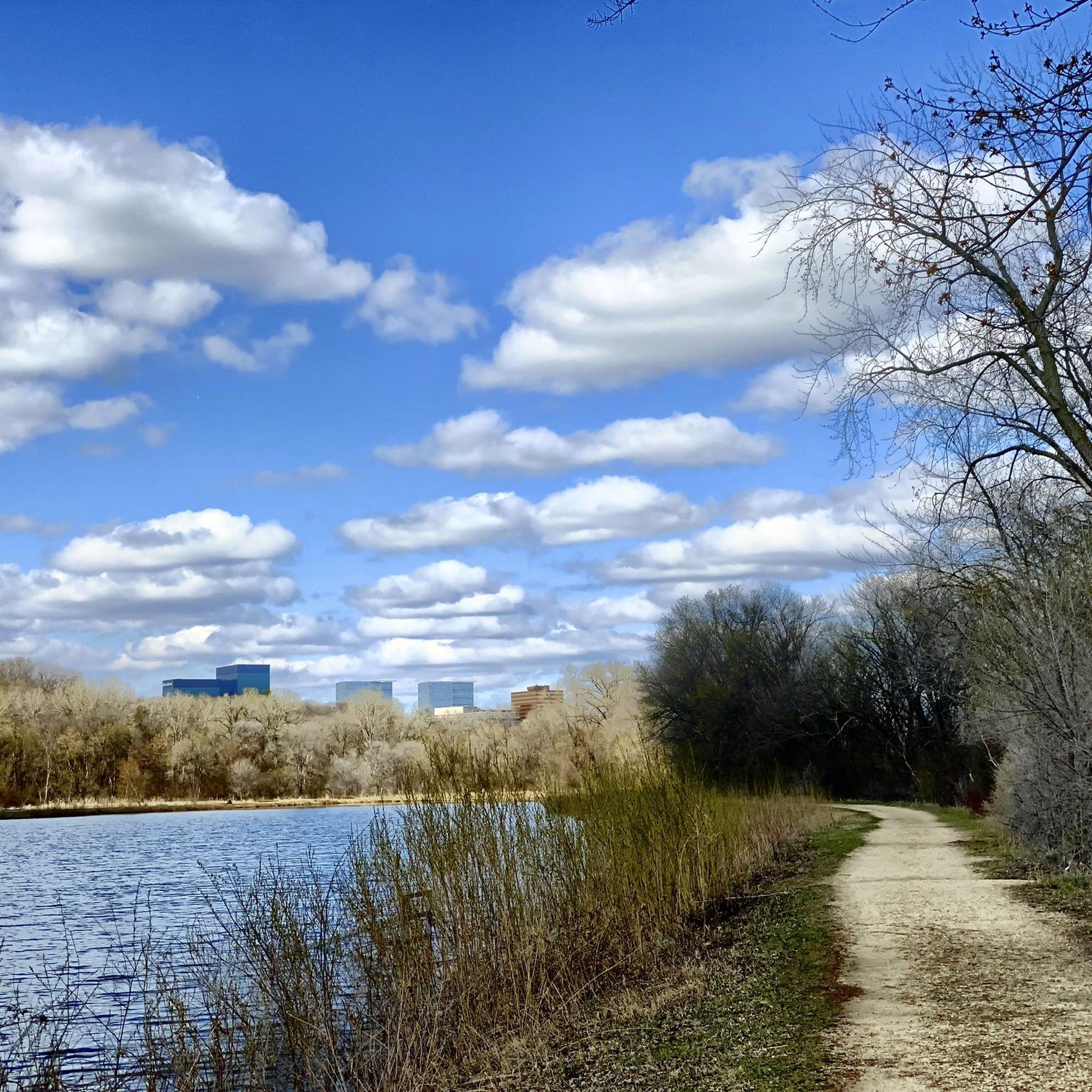
Another lake to check out, probably gets good bird traffic during migrations.
2
0
A nice big parking lot and rest room building at the starting point of crossing the bridge or going on one of the bike paths.
2
0
This is a different name for the Old Cedar Avenue Bridge.
2
0
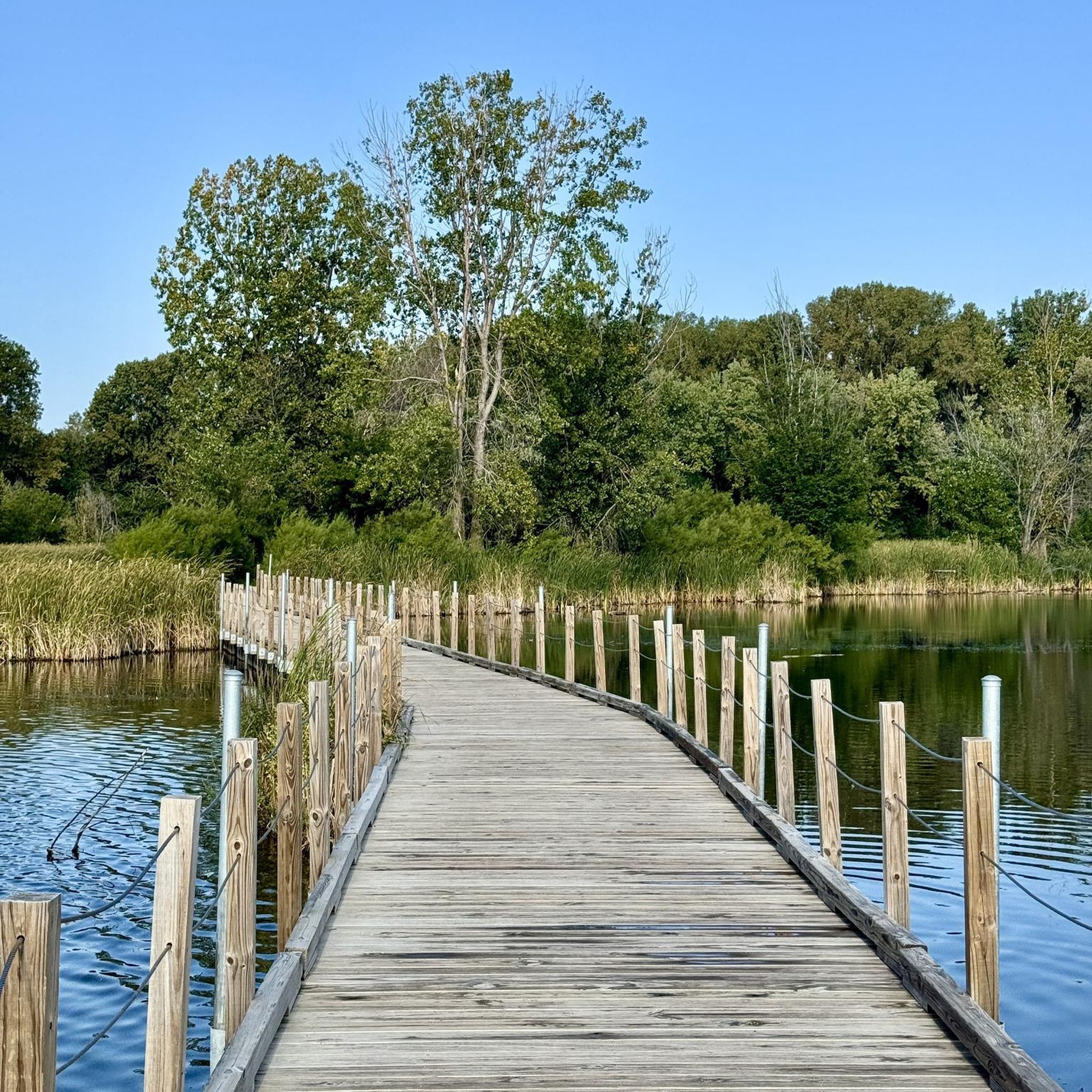
Finally made it across this bridge, it's in really good shape. 2 big bike lanes in the center with walking paths on the outside.
1
0
Finally got to pedal across this big bridge. The water you go over didn't look paddle-able today, pretty shallow and full of plants.
2
0
Big bridge with a neat bike section mounted lower than the car section. Nice way to cross the river on a bike.
2
0

The Old Cedar Avenue Bridge has wide views of the Minnesota River. It's a popular spot for birdwatching—herons, egrets, and other wildlife are often seen here. The bridge connects to trails in the Minnesota Valley National Wildlife Refuge, making it a good detour or rest point during a longer ride.
1
0

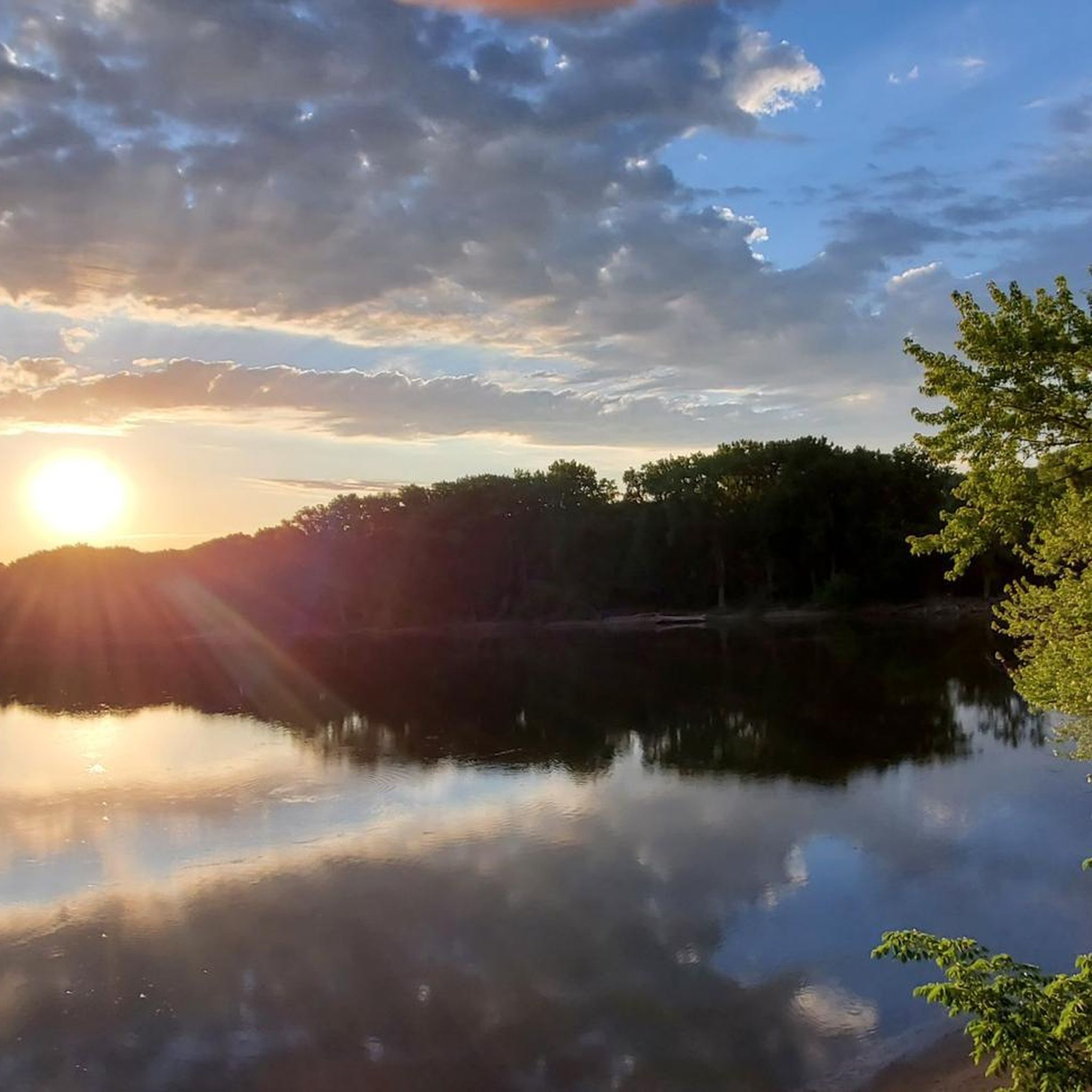
This section of the Minnesota River Greenway is just after you cross the Minnesota River near the East Trailhead. From this spot on the paved trail, you get nice views of the Cedar Avenue Bridge.
0
0
Frequently Asked Questions
How many running routes are available in Richfield?
Richfield offers a wide selection of over 175 running routes, catering to various preferences and fitness levels. These routes are highly rated by the komoot community, with an average score of 4.7 stars.
What kind of terrain can I expect on running trails in Richfield?
You'll find a diverse range of terrains across Richfield's parks and natural preserves. Options include crushed limestone walking trails, floating boardwalks, paths winding through woodlands, meadows, and restored prairies, and routes along creeks and lakes. In Richfield, Utah, you can even find more rugged red rock canyons and forested mountains.
Are there different difficulty levels for running routes in Richfield?
Yes, Richfield provides routes for all abilities. There are 30 easy routes perfect for beginners, 116 moderate routes for those looking for a balanced challenge, and 29 difficult routes for experienced runners seeking a more intense workout.
What natural features or landmarks can I see while running in Richfield?
Many running routes in Richfield offer scenic views and access to natural landmarks. For instance, the Minnehaha Falls – Hiawatha and Minnehaha Statue loop from Southwest features the beautiful Minnehaha Falls. Other routes might take you past the Confluence of the Mississippi and Minnesota Rivers, or through areas like Wood Lake Nature Center with its wildlife observation opportunities.
Are there any running routes that feature waterfalls?
Yes, you can definitely incorporate waterfalls into your run. The Minnehaha Falls – Hiawatha and Minnehaha Statue loop from Southwest is a popular option that takes you past the impressive Minnehaha Falls. Other nearby waterfalls include Saint-Anthony-Falls and Hidden Falls Creek.
Are there family-friendly running paths in Richfield?
Absolutely. Many of Richfield's parks, such as Wood Lake Nature Center, offer low-stress walking paths and trails that are suitable for families. These areas often feature crushed limestone trails and boardwalks, providing an accessible and enjoyable experience for all ages.
Can I bring my dog on the running trails in Richfield?
While specific dog policies vary by park and trail, many outdoor spaces in Richfield are generally dog-friendly. It's always best to check local park regulations for specific trails, but areas like the Nine Mile Creek Regional Trail are often suitable for running with leashed dogs.
Are there options for long-distance running in Richfield?
Yes, Richfield offers several options for longer runs. The Minnehaha Falls – Hiawatha and Minnehaha Statue loop from Southwest is a challenging 13.8-mile (22.2 km) route. Additionally, the Nine Mile Creek Regional Trail, accessible from Richfield, provides an extensive path for ambitious joggers looking for longer distances.
Where can I find easy or beginner-friendly jogging routes in Richfield?
For easy and beginner-friendly options, consider the trails at Wood Lake Nature Center, which offer over two miles of crushed limestone paths and floating boardwalks. In Richfield, Ohio, Furnace Run Metro Park features an easy 2.5-mile jogging loop, the Rock Creek and Old Mill Trail Loop, known for its shaded paths.
Are there loop running routes available in Richfield?
Yes, many running routes in Richfield are designed as loops, offering a convenient way to explore without retracing your steps. Examples include the Old Cedar Avenue Bridge – Long Meadow Bridge loop from Bloomington Central and the Long Meadow Bridge – Old Cedar Avenue Bridge loop from Mall of America. In Richfield, Ohio, the Buckeye Trail and Camp Crowell Lake loop is another popular choice.
What are some challenging running routes in Richfield?
For a more challenging experience, the Minnehaha Falls – Hiawatha and Minnehaha Statue loop from Southwest is a difficult 13.8-mile (22.2 km) trail. Another demanding option is the Artesian Well – Artesian Well loop from Bloomington Central, which covers 10.3 miles (16.6 km).
Where can I find parking for running trails in Richfield?
Most major parks and trailheads in Richfield offer designated parking facilities. For instance, Veterans Memorial Park, Wood Lake Nature Center, and Taft Park in Richfield, Minnesota, all provide parking for visitors. For specific routes, checking the komoot tour details often provides information on starting points and accessibility.
Are running routes in Richfield accessible by public transport?
Richfield, Minnesota, has public transport options that can provide access to some parks and trail systems. For detailed information on routes and schedules to specific parks, it's recommended to consult local transit authority websites or resources like richfieldmn.gov/Parks for general park access.
Most popular attractions around Richfield

Get inspired with the komoot mobile app


Explore more
Browse the best Running Trails & Routes in other regions.
