The best road cycling routes around Independence
4.9
(11)
309
riders
25
rides
Road cycling routes around Independence, Oregon, navigate a landscape characterized by rolling terrain and rural roads. The region features moderate elevation changes, with routes often following river valleys and passing through agricultural areas. Road cyclists can expect a mix of open stretches and tree-lined sections, providing varied scenery. The area's road network offers options for different skill levels, from easier loops to more challenging rides with greater elevation gain.
Best road cycling routes around Independence
- The most popular road cycling…
Last updated: October 18, 2026
23
riders
48.4km
02:19
250m
250m
Moderate road ride. Good fitness required. Some segments of this route may be unpaved and difficult to ride.
21
riders
26.0km
01:07
100m
100m
Easy road ride. Great for any fitness level. Mostly well-paved surfaces and easy to ride.

5.0
(1)
6
riders
66.8km
02:45
360m
360m
Moderate road ride. Good fitness required. Mostly well-paved surfaces and easy to ride.
5.0
(1)
5
riders
28.4km
01:11
180m
180m
Easy road ride. Great for any fitness level. Mostly well-paved surfaces and easy to ride.
3
riders
65.2km
02:39
310m
310m
Moderate road ride. Good fitness required. Some segments of this route may be unpaved and difficult to ride.
Get access to more routes and recommendations from other explorers.
Already have an account?
Our route recommendations are based on thousands of hikes, rides, and runs completed by other people on komoot.
Start today with a free account
Your next adventure awaits.
Popular around Independence

Tips from the Community

Caught glimpses of it today like you say Matthew. Guessing it pops out more in the fall/winter.
2
0
Lake Waconia is beautiful and huge, lots of good views as you go around.
2
0

Tamarack Lake is just off the side of the Lake Minnetonka Regional Trail. It's sort of hidden behind some trees and below some cliffs, but you can catch a glimpse if you look for it.
0
0

Baker Park Reserve offers 2,700 acres of natural beauty on Lake Independence. Its amenities include a golf course, campground, playground, and paved biking/hiking paths.
0
0

There are many additional hiking trails in Baker Park Reserve on the north side of County Road 24.
0
0

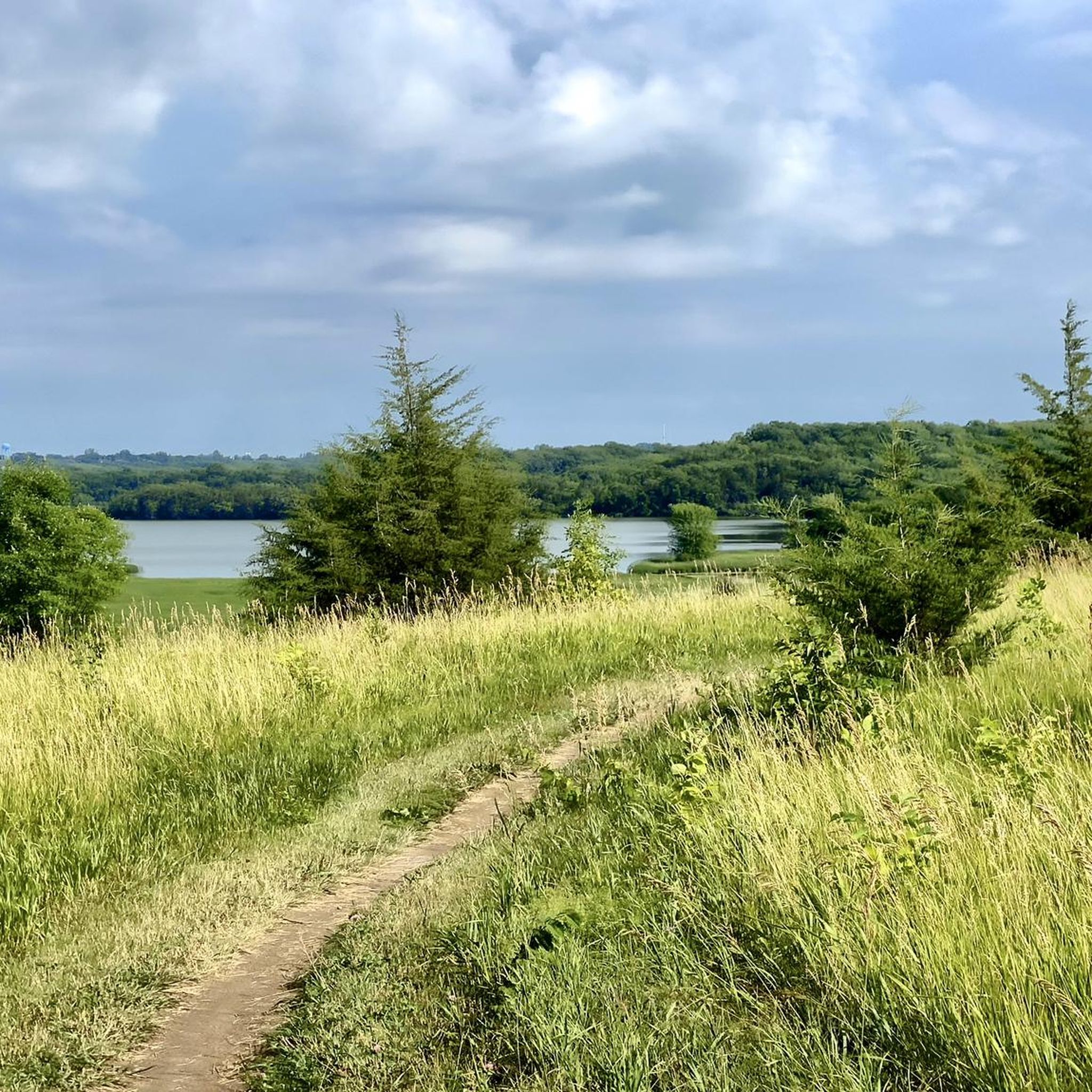
Simply a bench with scenic view of farmland on either side.
0
0

Kasma Marsh stands as the longest continuous Trumpeter Swan nesting site in the area. During the fall, you have the extraordinary opportunity to witness hundreds of these magnificent birds in this vicinity, creating a truly exceptional and memorable experience.
1
0
Baker Park Reserve sprawls across 2,700 acres of natural landscape and includes a beach area for swimming, campgrounds for extended stays, and even a golf course. A smooth paved surface encircles the entire reserve, allowing you to leisurely explore and appreciate the tranquil surroundings.
0
0
Frequently Asked Questions
What kind of terrain can I expect on road cycling routes around Independence?
Road cycling routes around Independence feature rolling terrain and rural roads. You'll encounter moderate elevation changes, with many routes following river valleys and passing through agricultural areas. The scenery offers a mix of open stretches and tree-lined sections.
Are there road cycling routes suitable for beginners in Independence?
Yes, Independence offers several road cycling routes suitable for beginners. There are 12 easy routes available, providing gentler rides through the region's scenic landscapes.
How many road cycling routes are available in the Independence area?
There are over 30 road cycling routes around Independence, offering a variety of options for different skill levels and preferences.
What are some popular loop trails for road cycling in Independence?
Many routes in Independence are designed as loops. A popular choice is the Arcola Trestle Bridge – Dakota Rail Regional Trail loop from Mound, which covers 26.5 miles. Another option is the County road 50 – Kasma Marsh loop from County Road 110 Trail Access, a longer 40.9-mile ride.
What kind of attractions can I see along the road cycling routes near Independence?
Along the routes, you can discover natural and man-made attractions. Notable sights include the historic Arcola Trestle Bridge, the serene Ferndale Marsh, and the peaceful Wolsfeld Woods Scientific and Natural Area.
Are there any challenging road cycling routes for experienced riders?
While most routes are moderate, the region's rolling hills provide opportunities for more challenging rides with greater elevation gain. Routes like the Bederwood Park – County road 50 loop from Orono offer significant climbs over their 39.3-mile distance.
What do other cyclists say about road cycling in Independence?
The road cycling routes in Independence are highly rated by the komoot community, with an average score of 5.0 stars from over 5 reviews. Cyclists often praise the varied terrain and scenic rural landscapes.
What is the best time of year to go road cycling in Independence?
The best time for road cycling in Independence is typically during the spring, summer, and early fall months when the weather is mild and precipitation is lower. This allows for comfortable rides through the agricultural areas and river valleys.
Are there any routes that offer scenic viewpoints?
Many routes offer scenic views as they pass through river valleys and open agricultural areas. The Dakota Rail Regional Trail – Davinci's Wing loop from Lowry Woods Nature Conservation Area, for example, provides diverse scenery including views of the Davinci's Wing monument.
Can I find routes that combine trail and road sections?
Yes, some routes in Independence combine dedicated trail sections with rural roads. The Dakota Rail Regional Trail – Davinci's Wing loop from Lowry Woods Nature Conservation Area is a good example, offering a mix of surfaces for a varied cycling experience.
Are there any longer road cycling routes for endurance training?
For longer rides, consider routes like the County road 50 – Kasma Marsh loop from County Road 110 Trail Access, which spans 40.9 miles (65.9 km) and includes significant elevation gain, making it suitable for endurance training.
Most popular routes around Independence
Most popular attractions around Independence

Get inspired with the komoot mobile app


Explore more
Browse the best Road cycling routes in other regions.
