The best road cycling routes around South St. Paul
4.4
(57)
2,114
riders
74
rides
Road cycling around South St. Paul, Minnesota, is characterized by its access to the Mississippi River corridor and an extensive network of regional trails. The area features scenic bluffs, woodlands, and wetlands, providing diverse natural landscapes for cyclists. Its park system offers numerous opportunities for outdoor recreation, connecting riders to various greenways and paths. This region provides a mix of urban and natural settings, making it suitable for different road cycling experiences.
Best road cycling routes around South St. Paul
…Last updated: October 10, 2026
23
riders
36.5km
01:45
150m
150m
Easy road ride. Great for any fitness level. Mostly well-paved surfaces and easy to ride.
20
riders
54.2km
02:41
340m
340m
Moderate road ride. Good fitness required. Some segments of this route may be unpaved and difficult to ride.

3
riders
12.6km
00:34
100m
110m
Easy road ride. Great for any fitness level. Mostly well-paved surfaces and easy to ride.
53.3km
02:15
270m
270m
Moderate road ride. Good fitness required. Mostly well-paved surfaces and easy to ride.
144km
06:12
930m
930m
Hard road ride. Very good fitness required. Mostly well-paved surfaces and easy to ride.
Get access to more routes and recommendations from other explorers.
Already have an account?
Our route recommendations are based on thousands of hikes, rides, and runs completed by other people on komoot.
Start today with a free account
Your next adventure awaits.
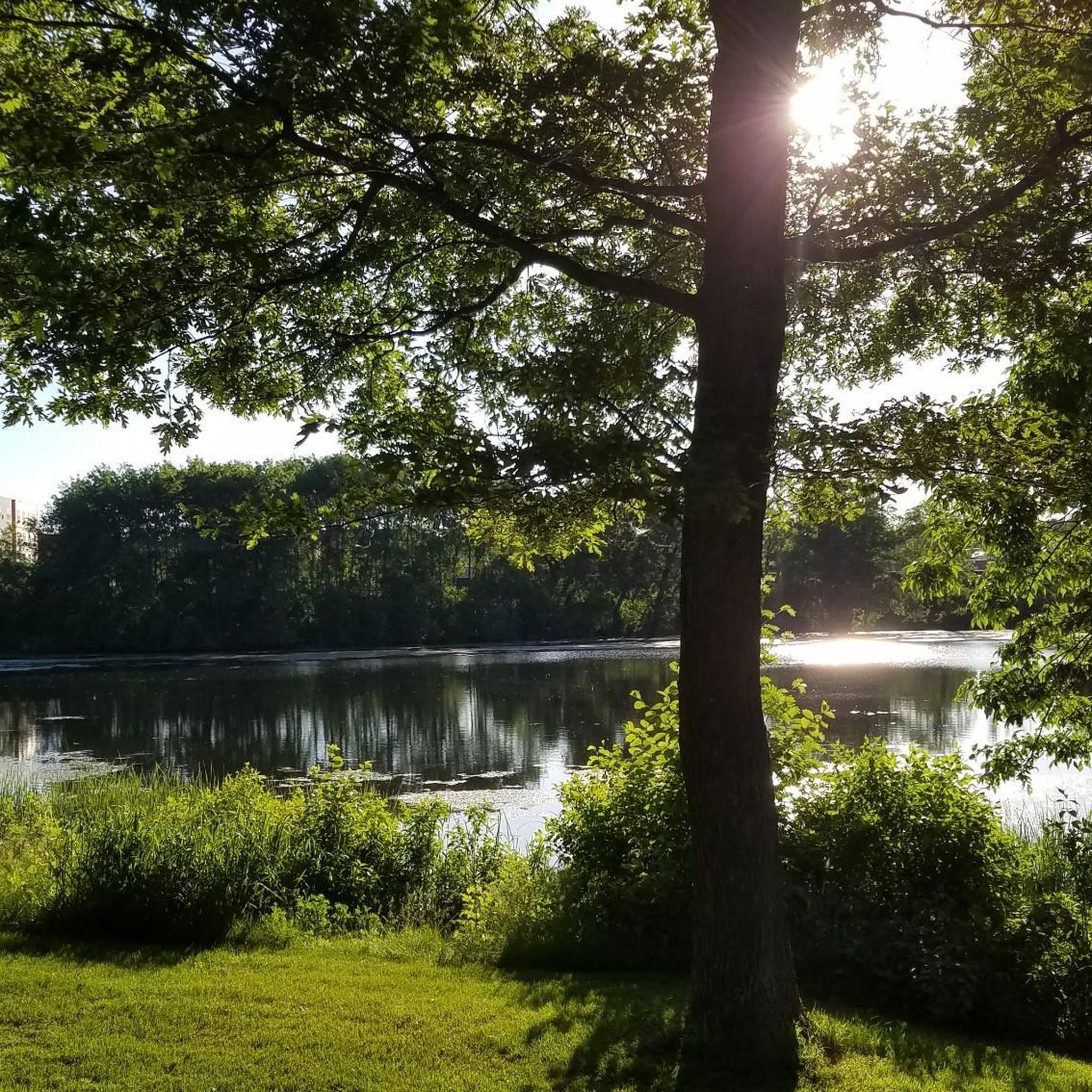
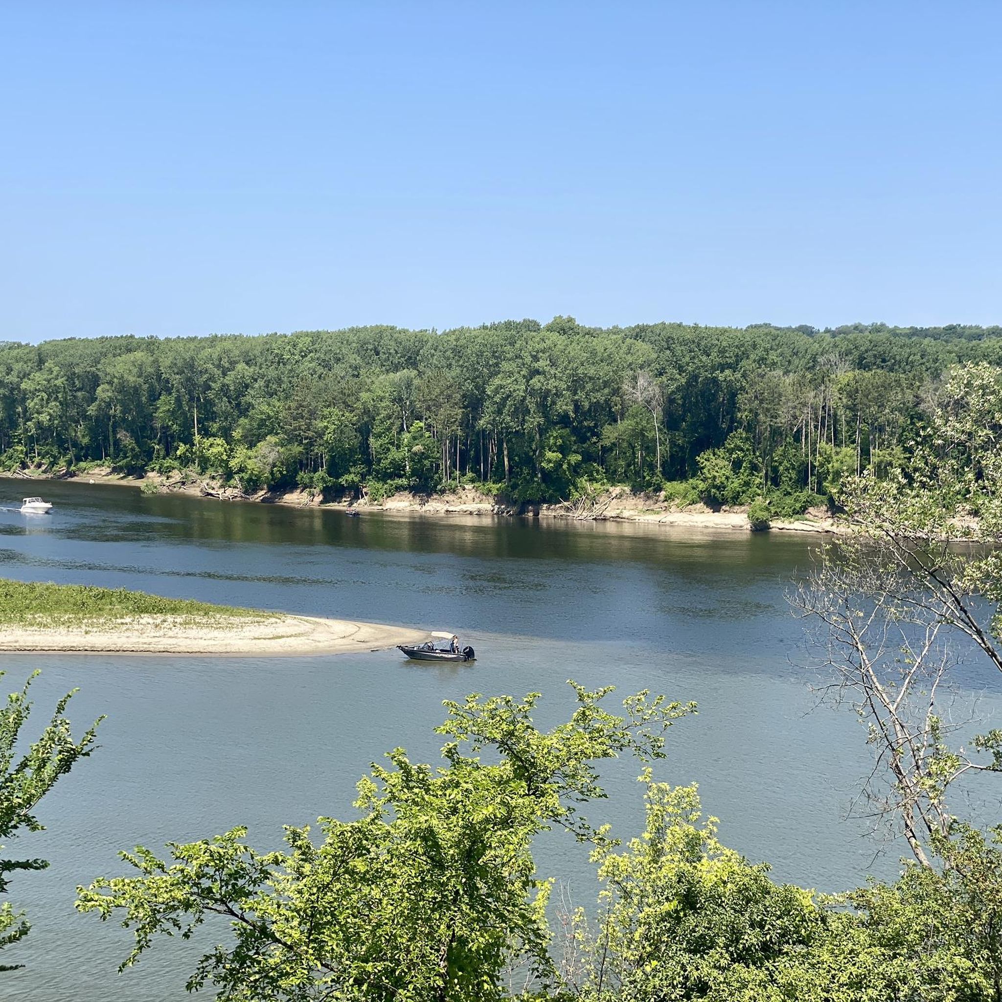
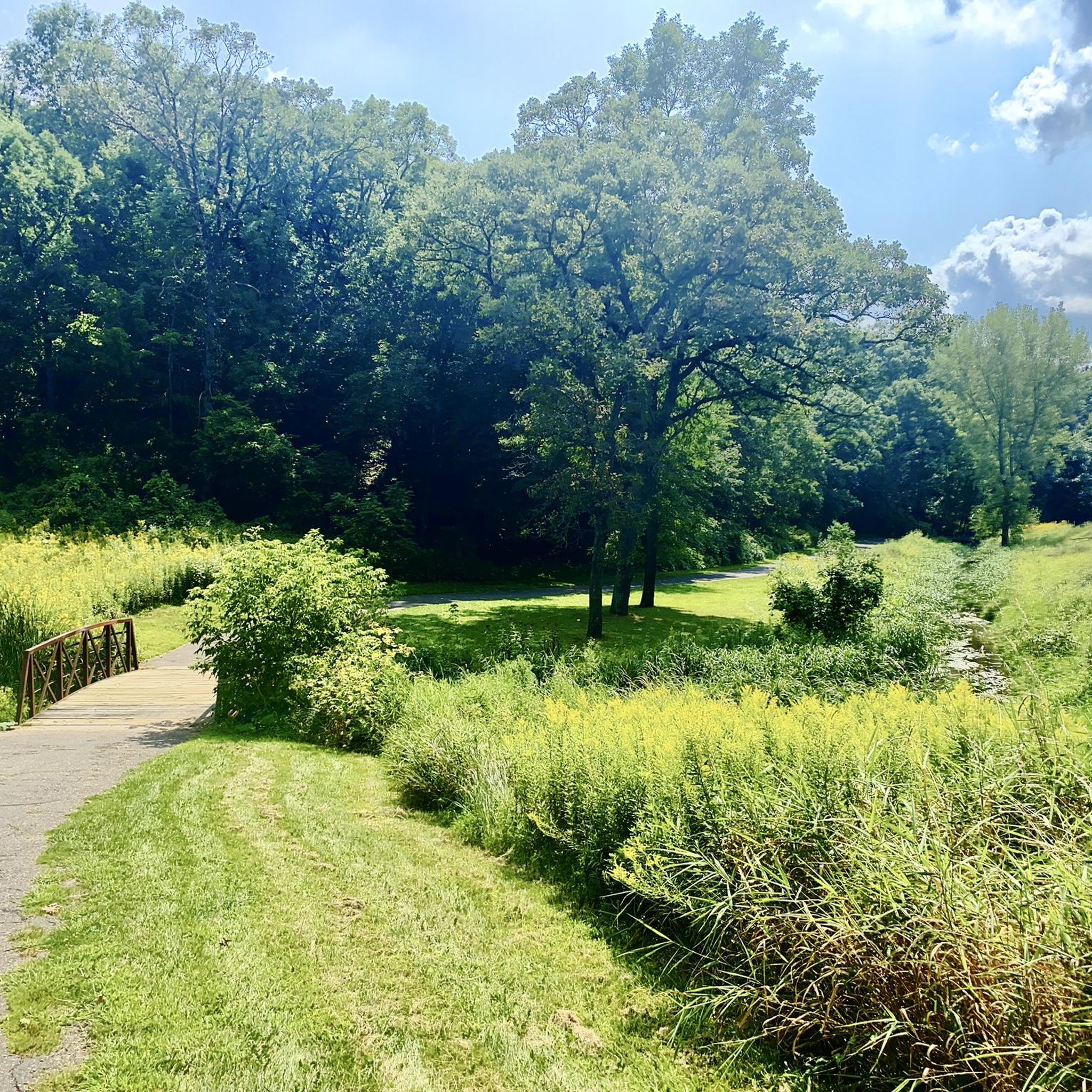
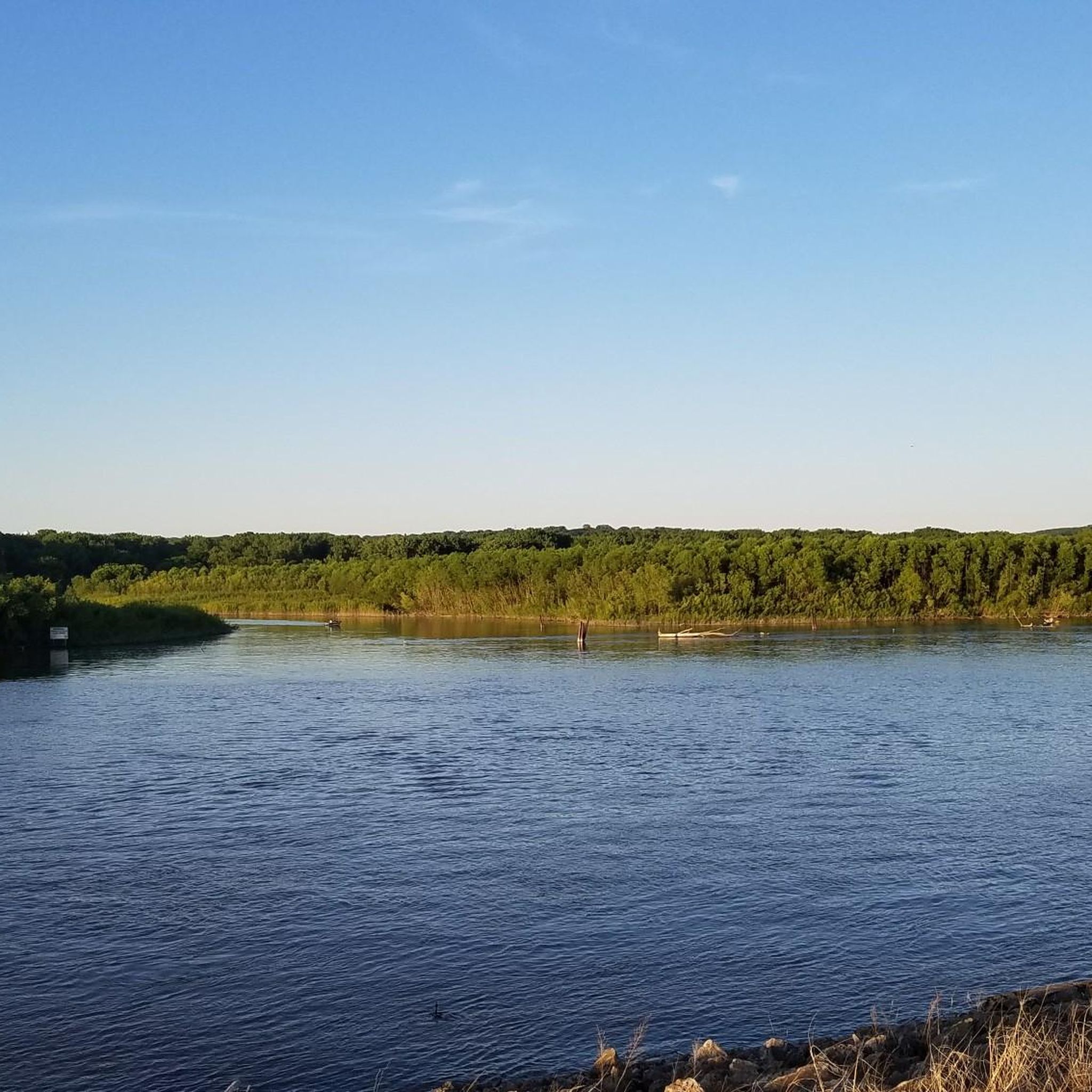
Tips from the Community

Nice overlook, especially nice after the hill climb for a water break
1
0
Love this park especially the bike path and the archery range
0
0
This is a pretty big park that has lots of features, mountain bike trails, paved trails, ballfields, playgrounds, goes for blocks.
1
0

Fun bike with my family. Lots of wildflowers and different birds to see. Awesome views!
0
0
Nice place to see the river, playground, picnic area, benches along the shore line. I have peddled it several times, but it's not very good for that, small trails and a lot of people walking 2 by 2 that don't hear that you want to go past them.
0
0
Great place to stop along the super cool new trail by Spring Lake Park.
0
0
Great views of the lake. Amazing bike trail that is super wide, has great hills, cleared sandstone cliffs to make room for the trail, and a Bison herd to watch for.
1
0
Great park for bison viewing, bike riding, and archery. Amazing place with in easy driving distance from the Cities and Northfield. The trail can bring you into Hastings and over the bridge into Prescot Wisconsin. And very soon they will finish the last 2 miles that will connect it so you can get to St. Paul without having to ride on the rough dirt road.
0
0
Frequently Asked Questions
How many road cycling routes are available in South St. Paul?
South St. Paul offers a wide selection of road cycling routes, with over 90 routes available. These routes cater to various skill levels, from easy to difficult.
What is the best time of year for road cycling in South St. Paul?
The best season for road cycling in South St. Paul is typically from spring through fall, when the weather is mild and the natural landscapes, including river views and park systems, are at their most vibrant. Winter cycling is possible but requires appropriate gear for colder conditions.
What kind of terrain can I expect on road cycling routes in South St. Paul?
Road cycling routes in South St. Paul feature diverse terrain. You can expect scenic bluffs, views along the Mississippi River, and paths that wind through woodlands and wetlands. The area offers a mix of urban and natural settings, with varying elevation gains depending on the specific route.
Are there easy road cycling routes suitable for beginners or families?
Yes, South St. Paul has many easy road cycling routes perfect for beginners and families. Over 50 routes are rated as easy. A great option is the Battle Creek Regional Park Loop, which is 7.8 miles long and leads through woods and wetlands. The Mississippi River Greenway Loop also offers diverse, generally easy landscapes along the river.
Are there challenging road cycling routes for experienced riders?
For experienced riders seeking a challenge, South St. Paul offers routes with more significant distances and elevation changes. The Mississippi River Trail: Red Wing Loop is a difficult route spanning over 90 miles with substantial elevation gain, providing a demanding ride.
What scenic views or landmarks can I see along the road cycling routes?
Many routes offer stunning views of the Mississippi River, especially along the Mississippi River Trail and Greenway. You can also encounter scenic bluffs, woodlands, and wetlands. Notable landmarks and natural features include the Confluence of the Mississippi and Minnesota Rivers, Pine Bend Bluff SNA, and Summit Overlook Park, which offers excellent viewpoints.
Where can I find parking for road cycling routes in South St. Paul?
Parking is generally available at various parks and trailheads throughout South St. Paul. Kaposia Landing is a key access point for regional trails and often provides parking. Many city parks, such as Battle Creek Regional Park, also offer facilities for cyclists. For more information on park facilities, you can visit the South St. Paul Parks & Facilities website.
Is public transport accessible to road cycling trails in South St. Paul?
South St. Paul is part of the wider Twin Cities metropolitan area, which has public transportation options. While direct access to every trailhead via public transport might vary, many routes are connected to urban areas where bus services operate, potentially allowing for combined cycling and transit trips.
Are there cafes or pubs near the road cycling routes in South St. Paul?
Given South St. Paul's urban and suburban setting, you'll find various cafes, pubs, and restaurants within reasonable proximity to many of the road cycling routes, especially those that pass through or near the city center and other developed areas. These establishments offer convenient stops for refreshments.
What do other road cyclists enjoy most about road cycling in South St. Paul?
The road cycling experience in South St. Paul is highly rated by the komoot community, with an average score of 4.7 stars from over 50 reviews. Cyclists frequently praise the diverse landscapes, including the scenic Mississippi River views, the well-maintained network of regional trails, and the variety of routes suitable for all skill levels.
Are there any long-distance road cycling options near South St. Paul?
Yes, for those looking for longer rides, the region offers extensive options. The Mississippi River Trail: Red Wing Loop, for example, is a significant long-distance route that extends beyond South St. Paul, providing a multi-hour cycling adventure.
Are there any routes that specifically follow the Mississippi River?
Absolutely. The Mississippi River is a central feature of road cycling in the area. Routes like the Mississippi River Greenway Loop and the Mississippi River Greenway offer extensive stretches along the river, providing continuous scenic views and access to riverfront parks and landmarks.
Most popular attractions around South St. Paul

Get inspired with the komoot mobile app


Explore more
Browse the best Road cycling routes in other regions.
