The best cycling routes around Jarrettsville
5.0
(1)
55
riders
2
rides
If you have ever tried to plan touring cycling around Jarrettsville, you know how quickly the options can become overwhelming. With so many country roads and park trails, it is hard to tell which routes are genuinely worth your time and effort. That is where we come in. Our komoot community has ridden, mapped, and reviewed countless routes here, and we have distilled that collective wisdom into a curated shortlist. Consider this your shortcut to the best touring cycling Jarrettsville has to offer.
Touring cycling around Jarrettsville feels like a step back in time, with quiet country roads winding through picturesque rolling hills and expansive scenic farmland. The terrain offers a good mix, from gentle, paved sections perfect for a relaxed spin to more challenging climbs and unpaved segments within the state parks. You will find yourself traversing the lush valleys of Deer Creek and the Gunpowder Falls, with the landscape transforming beautifully, especially when the sunflower fields bloom between June and September.
If you are looking for a solid challenge that rewards you with natural beauty, we would start with the Little Gunpowder Trail – Jerusalem Mill Section loop from Fallston. This difficult 21.8 miles (35.0 km) route truly immerses you in the natural beauty around the Little Gunpowder Falls. For something a bit shorter but still engaging, the Bottom Road Steel Bridge – Little Gunpowder Trail loop from Fallston is a moderate 14.9 miles (24.0 km) ride that offers a great taste of the area's varied landscapes. More than 30 touring cyclists have already explored Jarrettsville with komoot, so dive in and discover your next favorite ride.
Last updated: June 1, 2026
15
riders
35.0km
03:18
470m
470m
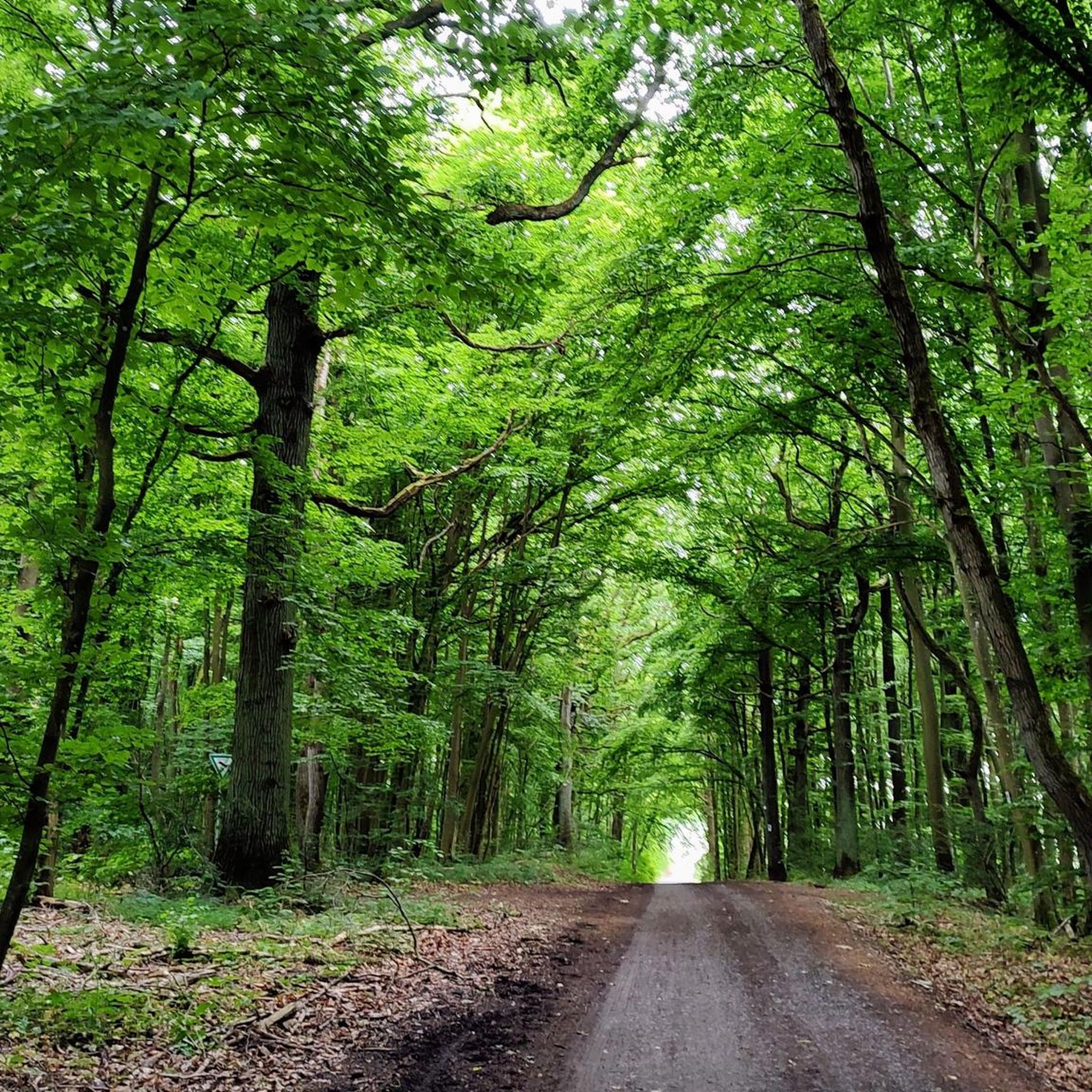
The Little Gunpowder Trail – Jerusalem Mill Section loop from Fallston offers a demanding touring cycling experience through varied terrain and rich history. You'll navigate a mix of paved and unpaved paths, including singletrack sections, as you follow the serene Little Gunpowder River. The route winds through dense, shaded woods, past the historic Jerusalem Mill Village, and over the charming Jericho Covered Bridge, providing picturesque views and a sense of stepping back in time.
This difficult 21.8-mile (35.0 km) loop involves 1530 feet (466 metres) of elevation gain and typically takes around 3 hours and 17 minutes to complete. Be prepared for uneven, potentially rocky, and slippery surfaces, especially after rain. While specific parking information isn't detailed, planning an early start is advisable for any popular trail within Gunpowder Falls State Park to secure a spot.
Part of the expansive Gunpowder Falls State Park, this trail stands out for its blend of natural beauty and historical significance. The Jerusalem Mill Village, a preserved Quaker settlement from the late 1700s, offers a unique cultural highlight, while the 1865 Jericho Covered Bridge is an iconic landmark. The constant presence of the Little Gunpowder River adds to the scenic charm, making this a memorable ride for experienced cyclists.
15
riders
24.0km
02:07
280m
280m
The Bottom Road Steel Bridge – Little Gunpowder Trail loop from Fallston offers a dynamic touring cycling experience, winding through diverse landscapes of river views, cornfields, and forests. You'll navigate a mix of packed dirt, singletrack, and potentially some easy rocky sections, often hugging the scenic Little Gunpowder Falls Creek. This moderate 14.9-mile (24.0 km) route, with 907 feet (276 metres) of elevation gain and an estimated duration of 2 hours and 7 minutes, is ideal for cyclists seeking a varied ride with natural beauty.
To plan your visit, look for parking near trailheads in the Fallston area. The trail is generally best enjoyed in spring or fall for pleasant weather and vibrant scenery. Keep in mind that some sections, particularly in floodplain areas, can get muddy after rain due to horse traffic, so checking recent conditions is a good idea before you head out.
This route stands out for its blend of natural beauty and historical significance, featuring the iconic 1886 Bottom Road Steel Bridge. The trail system is part of Gunpowder Falls State Park and is actively maintained by GUMBO, aiming to create a world-class trail network. It offers a great way to explore the natural features of Little Gunpowder Falls and experience one of the top rated touring cycling routes in Harford County.

Sign up for free
9
riders
21.5km
01:58
280m
280m
Moderate bike ride. Good fitness required. Mostly paved surfaces. Suitable for all skill levels.
5
riders
The Bottom Road Steel Bridge – Little Gunpowder Falls loop offers a dynamic touring cycling experience through the picturesque river valleys and dense woodlands of Gunpowder Falls State Park. You'll follow the Little Gunpowder River, enjoying continuous views and the calming sounds of the water, and cross the historic Bottom Road Steel Bridge. This moderate 8.8-mile (14.1 km) route, with 696 feet (212 metres) of elevation gain, typically takes about 1 hour and 21 minutes, making it a rewarding ride for those seeking a mix of natural beauty and varied terrain. Expect sections of packed dirt, gravel, and some mildly technical spots with roots and rocks.
While classified for touring cycling, this route is best tackled with a gravel or hybrid bike equipped with wider, more robust tires for comfort and traction, especially on the unpaved sections. Some parts of the trail might even require good fitness or a short walk if you're on a less suitable bike. There's no specific mention of permits or fees in the available information, but always check the park's official website for the latest regulations before you go.
This loop stands out for its blend of natural scenery and historical significance, particularly the 1886 Bottom Road Steel Bridge. The trail also incorporates parts of old railroad beds, adding another layer of history to your ride. For those who appreciate a more adventurous cycling experience beyond smooth pavement, this route provides a unique opportunity to explore the diverse landscapes of Gunpowder Falls State Park.
3
riders
49.7km
03:11
610m
610m
Hard bike ride. Very good fitness required. Mostly paved surfaces. Suitable for all skill levels.
Our route recommendations are based on thousands of hikes, rides, and runs completed by other people on komoot.
Start today with a free account
Your next adventure awaits.
Login or Signup
Popular around Jarrettsville


Tips from the Community

Convenient parking area with access to the rail trail. Water fountains, tube rentals and other river oriented recreation is available here.
0
0

This 297-meter section of Bottom Road is compacted dirt, however it's really well maintained and smooth. Just use caution on really rainy days.
0
0

While riding past this spot along Thornton Mill Road, make sure to keep your eyes peeled for Bosley Church. The farmland and old homesteads add to the authenticity of the area.
0
0

You can view the quarry from the top or from the bottom. From here you get great sweeping views off the ledge, and if you swing down below via the Little Gunpowder Trail you can look up to see its towering stone walls. The trail to this point from east is a little easier.
0
0

Jerusalem Mill Section is part of the vast Gunpowder Falls State Park. An endless network of trails will lead you to the discovery of this beautiful corner of Maryland.
0
0
There is ample parking at the trailhead and access to the trail system on both sides of the road. From here you can explore a network of peaceful singletrack trails that fork off of Little Gunpowder.
0
0
This is a wonderfully scenic singletrack trail that winds its way along the southern bank of Little Gunpowder Falls with continuous views of the river. The trail is packed dirt and only mildly technical.
0
0
The waterfall cascades down the length of the Waterfall Trail, which follows Dick Branch on both sides. There are stepping logs and stones to help you cross the creek.
0
0
Frequently Asked Questions
What kind of terrain can I expect on touring cycling routes in Jarrettsville?
Jarrettsville offers a diverse landscape for touring cyclists, characterized by rolling hills, scenic farmland, and routes through natural preserves. You'll find a mix of quiet country roads, paved paths, and some routes with significant elevation changes, providing options from gentle rides to more challenging climbs. The area is known for its picturesque rural charm.
Are there touring cycling routes suitable for beginners or families in Jarrettsville?
Yes, Jarrettsville has options for less experienced cyclists and families. The Ma & Pa Trail – Winters Run River loop from Bel Air is an easy, 8.2-mile (13.1 km) route that follows a historic railroad bed, offering a mostly flat surface through farmlands and woodlands. This type of trail is ideal for a relaxed family outing.
Are there challenging touring cycling routes for experienced cyclists around Jarrettsville?
Absolutely. For those seeking a challenge, the region features routes with notable climbs and descents. The Little Gunpowder Trail – Jerusalem Mill Section loop from Fallston is a difficult 21.8-mile (35.0 km) route with over 460 meters of elevation gain, exploring the natural beauty around the Little Gunpowder Falls. Another option is the Monkton Train Station – Monkton Station loop from Monkton, a difficult 30.9-mile (49.7 km) route with over 610 meters of ascent.
Are there any circular touring cycling routes in the Jarrettsville area?
Many touring cycling routes around Jarrettsville are designed as loops, allowing you to start and end at the same point. Examples include the Bike loop from Gunpowder Falls State Park Pleasantville Area, a moderate 8.6-mile (13.8 km) trail, and the more challenging Monkton Train Station – Monkton Station loop from Manor, which covers 17.8 miles (28.6 km).
What natural attractions can I see while cycling around Jarrettsville?
The Jarrettsville area is rich in natural beauty. You can explore Rocks State Park, known for its striking geological formations and woodlands. Within the park, you might visit the dramatic King and Queen Seat rock outcrop or the picturesque Kilgore Falls, Maryland's second-highest waterfall. Deer Creek also meanders through the park, offering scenic views. The Rock State Park Falling Branch Area is specifically known for its waterfall.
Are there any historical or cultural landmarks accessible by bike?
Yes, the region has several points of interest. The Ma & Pa Trail, for instance, follows an old railroad bed, offering a glimpse into the area's past. You can also find the Monkton Train Station, a historic landmark, along some routes. The rural charm of Harford County, with its historic farmhouses, also provides a scenic backdrop for your rides.
What do other touring cyclists enjoy most about cycling in Jarrettsville?
The touring cycling routes around Jarrettsville are highly rated by the komoot community, with an average score of 4.0 stars. Cyclists often praise the varied terrain, from quiet farm roads to routes through state parks, and the opportunity to experience the scenic farmland and natural beauty of Harford County.
Is it possible to combine cycling with other activities, like hiking to a waterfall?
Absolutely. Many cycling routes are close to natural attractions where you can take a break for a short hike. For example, while cycling near Rocks State Park, you could easily detour to hike to Kilgore Falls, Maryland's second-highest waterfall, for a refreshing experience. The Rock State Park Falling Branch Area is a specific highlight for waterfalls.
Are there any specific trails or paths designed for cycling in the area?
Yes, the Ma & Pa Trail is a popular, mostly flat, paved trail that follows an old railroad bed, perfect for cycling. Additionally, the East Coast Greenway — Maryland passes through the region, offering sections suitable for touring cyclists.
What is the best time of year to go touring cycling in Jarrettsville?
The spring and fall months generally offer the most pleasant conditions for touring cycling in Jarrettsville, with milder temperatures and beautiful scenery. Spring brings blooming wildflowers, while autumn showcases vibrant fall foliage. Summer can be enjoyable, but be prepared for warmer temperatures and potential humidity. Always check local weather conditions before heading out.
Are there opportunities to see wildlife or unique natural features?
The natural areas around Jarrettsville, particularly within Rocks State Park and along Deer Creek, provide opportunities to observe local wildlife. You might spot various bird species, deer, and other small animals. The region's diverse landscapes, including woodlands, farmlands, and waterways, support a rich ecosystem. During blooming season (typically June to September), Jarrettsville's 20-plus acres of sunflower fields offer a stunning visual spectacle.
Are there any facilities like cafes or pubs near the cycling routes?
While the routes often traverse rural areas, many start or pass near towns and communities where you can find amenities like cafes, restaurants, and pubs to refuel and relax. It's always a good idea to plan your route in advance and check for available services along your chosen path.
Most popular routes around Jarrettsville
Most popular attractions around Jarrettsville

Get inspired with the komoot mobile app


Explore more
Browse the best Cycling routes in other regions.
