The best walks and hikes around Honeygo
4.8
(25)
283
hikers
45
hikes
Hiking around Honeygo is characterized by wooded paths and waterways, primarily within Honeygo Run Regional Park and the adjacent Gunpowder Falls State Park. The terrain features a mix of natural surface and paved trails, with mostly gentle elevation changes. Hikers can explore sections along the Honeygo Run riverbank, marshy areas, and varied topography including climbs out of the Honeygo Run valley. The region is defined by dense woodlands, streams, and wetlands, offering diverse natural landscapes.
Best hiking trails around Honeygo
- The most popular hiking route is Big Gunpowder Falls Trail from Graham Memorial Park Area to Belair Road — Gunpowder Falls State Park, a 9.2 miles (14.8 km) trail that takes about 3 hours 50 minutes to complete. This route follows the Big Gunpowder Falls through a forested landscape.
- Another top favourite among local hikers is Sweathouse Area Loop, an easy 4.1 miles (6.6 km) path. The trail features minimal elevation gain as it loops through the woods of Gunpowder Falls State Park.
- Local hikers also love the Lost Pond and Sawmill Trail, a 4.7 miles (7.6 km) trail leading through wooded areas and past a pond, often completed in about 2 hours.
- Hiking around Honeygo is defined by riverside paths, dense woodlands, and gentle hills. The trail network includes both shorter, easy loops and longer moderate hikes suitable for different abilities.
- The routes in Honeygo are highly rated by the komoot community with an average score of 4.7 stars from over 20 reviews. More than 200 hikers have used komoot to explore Honeygo's varied terrain.
Last updated: August 17, 2026
1.13km
00:18
10m
10m
Easy hike. Great for any fitness level. Easily-accessible paths. Suitable for all skill levels.
7.60km
02:00
60m
70m
Moderate hike. Good fitness required. Easily-accessible paths. Suitable for all skill levels.

Sign up for free
866m
00:13
0m
0m
Easy hike. Great for any fitness level. Easily-accessible paths. Suitable for all skill levels.
4.4
(7)
28
hikers
6.65km
01:48
90m
90m
Easy hike. Great for any fitness level. Easily-accessible paths. Suitable for all skill levels.
5.0
(3)
9
hikers
2.74km
00:45
40m
40m
Easy hike. Great for any fitness level. Easily-accessible paths. Suitable for all skill levels.
Get access to more routes and recommendations from other explorers.
Sign up for free
Already have an account?
Our route recommendations are based on thousands of hikes, rides, and runs completed by other people on komoot.
Start today with a free account
Your next adventure awaits.
Login or Signup



Tips from the Community

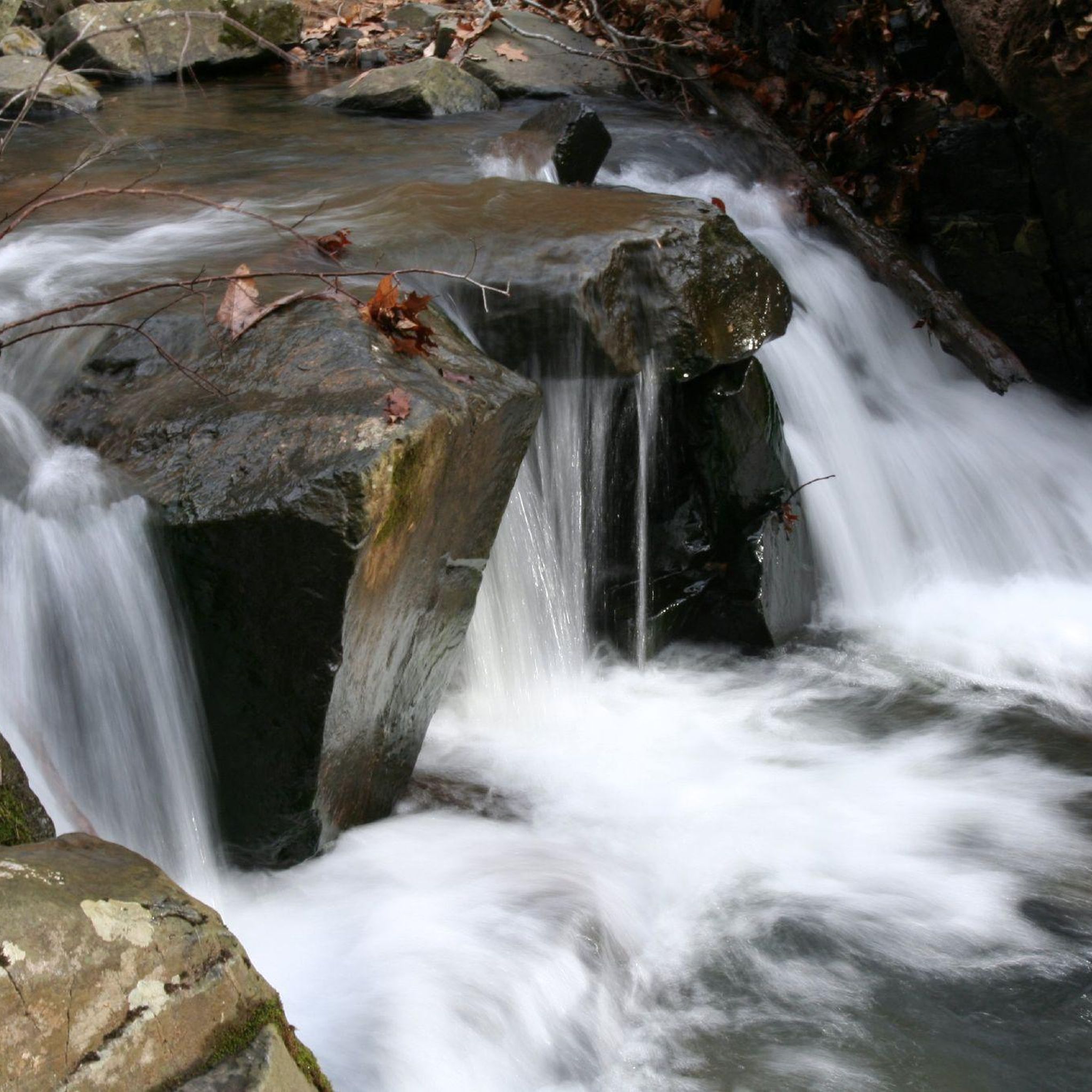
Lost Pond Trail is located in the south of Kingsville and is part of Gunpowder Falls State Park. It follows the river 'Big Gunpowder Falls' and doesn't have any incline. Thanks to that and the fact, that the trail is quite short as well, it's a perfect hike for families along the water.
0
0
Sawmill Trail is an easy loop, starting and ending at different sections of Lost Pond Trail. The trail leads through the woods and offers some views of the nearby creek at some points.
0
0
Sweathouse Area is one of many areas of Gunpowder Falls State Park. It contains multiple hiking trails (Sweathouse Trail, Stocksdale Trail, Wildlands Trail), that lead through the forest and along creeks. The area is quite easy to hike and you don't need any special experience.
0
0
Sweathouse Trail is one of the trails leading through the area of the same name in Gunpowder Falls State Park. The trail follows Big Gunpowder Falls through the woods for some time and runs along Sweathouse Branch later.
0
0
Frequently Asked Questions
Are the hiking trails around Honeygo dog-friendly?
Yes, many trails in the area are great for hiking with dogs. Honeygo Run Regional Park is a popular choice and even includes a dedicated dog park. The trails in the surrounding Gunpowder Falls State Park are also generally welcoming to leashed dogs, but it's always a good idea to check the official park regulations before you go.
What are some good hiking trails for families with kids?
For a family-friendly outing, The Trails at Cowenton Ridge Park are highly regarded by local parents. It features mostly paved paths that are suitable for strollers and little legs. Within Honeygo Run Regional Park, the 0.3-mile Green Trail is a flat and easy walk through the woods, perfect for a quick adventure.
Are there any easy, circular hikes for beginners?
Absolutely. The Lost Pond & Sawmill Trails loop is an excellent choice. It's a short, easy loop of about 1.7 miles (2.7 km) within Gunpowder Falls State Park with very little elevation change, making it ideal for those new to hiking.
Where can I find a longer, more moderate hike?
If you're looking for a longer day on the trail, the Big Gunpowder Falls Trail offers a rewarding challenge. This 9.2-mile (14.8 km) route follows the river through a beautiful forested landscape and is classified as moderately difficult.
What's the difference between hiking in Honeygo Run Regional Park and Gunpowder Falls State Park?
Honeygo Run Regional Park is a more compact, community-focused park with about three miles of color-coded dirt trails and paved loops. It's perfect for shorter walks and family outings. Gunpowder Falls State Park is a much larger, more expansive natural area offering miles of more rugged, immersive trails that follow the Big and Little Gunpowder Rivers, catering to more serious hikers.
Is there parking available at the trailheads?
Yes, parking is generally available. Honeygo Run Regional Park has ample parking near its community center and athletic fields. The various access points for Gunpowder Falls State Park, such as the lot near Belair Road for the Lost Pond trail, also have parking, though they can fill up on weekends, so arriving earlier is recommended.
Are the trails free to access?
The trails within local parks like Honeygo Run Regional Park and Cowenton Ridge Park are free to use. However, some areas of Gunpowder Falls State Park may have service charges, especially during the peak season. It's best to check the official Maryland Department of Natural Resources website for the most current fee information before your visit.
What kind of terrain should I expect on the trails?
The terrain varies. You'll find paved, flat paths perfect for easy walks, especially in Honeygo Run Regional Park. The natural surface trails, like the Red Trail in the same park, can be more technical with roots and gentle hills. Trails in Gunpowder Falls State Park are typically dirt paths that wind through woodlands and along riverbanks.
What do other hikers say about the trails in Honeygo?
The komoot community rates the hiking experience around Honeygo very highly. Reviewers often praise the serene, wooded environment and the beautiful paths that run alongside the Honeygo Run and Big Gunpowder Falls waterways.
Are there any circular routes that offer a bit of variety?
For a varied loop, consider the Graham Memorial Park Area loop. This easy 3-mile (4.9 km) hike in Gunpowder Falls State Park provides a pleasant walk through the woods with some gentle elevation changes, making it more engaging than a completely flat trail.
What is the best time of year to hike around Honeygo?
Hiking in the Honeygo area is enjoyable year-round. Spring offers blooming wildflowers, summer provides a shady canopy in the dense woodlands, and autumn features spectacular fall foliage along the rivers. Winters are generally mild, but trails can become muddy or icy after wet or cold weather.
Most popular attractions around Honeygo

Get inspired with the komoot mobile app


Explore more
Browse the best Hikes in other regions.
