The best road cycling routes around Damascus
4.3
(9)
267
riders
47
rides
Road cycling routes around Damascus traverse a varied landscape, from the fertile Barada Valley to the foothills of the Qalamoun Slopes. The region features diverse topography, including gentle valley routes and more challenging mountain ascents. Pine forests and fruit orchards provide shaded sections, while the Barada River offers scenic routes along waterways. This environment supports a range of road cycling experiences.
Best road cycling routes around Damascus
- The most popular road cycling route is Patuxent River State Park – Patuxent…
Last updated: June 2, 2026
35
riders
73.1km
03:21
630m
630m
Moderate road ride. Good fitness required. Mostly well-paved surfaces and easy to ride.
5.0
(1)
12
riders
Hard road ride. Very good fitness required. Mostly well-paved surfaces and easy to ride.

Sign up for free
9
riders
41.8km
02:03
570m
570m
Moderate road ride. Good fitness required. Mostly well-paved surfaces and easy to ride.
8
riders
Moderate road ride. Good fitness required. Mostly well-paved surfaces and easy to ride.
6
riders
62.3km
02:53
590m
590m
Moderate road ride. Good fitness required. Some segments of this route may be unpaved and difficult to ride.
Get access to more routes and recommendations from other explorers.
Sign up for free
Already have an account?
Our route recommendations are based on thousands of hikes, rides, and runs completed by other people on komoot.
Start today with a free account
Your next adventure awaits.
Login or Signup



Tips from the Community

Absolutely stunning place to ride your bicycle either with friends or yourself. Trails aren't overcrowded, sometimes you can meet hikers or another bikers. It worth to visit and give it a try. Some skills are required in downhills, but nothing really special, however, good aerobic shape is mandatory.
0
0

This water fountain at Sugarloaf Mountain is a lifesaver for thirsty cyclists after the mountain climbs. Take advantage of the stop to refill your bottles.
0
0
Darby Store Cultural Park sits at a historic crossroads in Beallsville. Built in 1910, this old general store served local farmers and neighbors for over 50 years, even housing the post office in the 1920s. It’s one of the few remaining rural stores from that era in Montgomery County—worth a quick stop if you’re riding by.
0
0

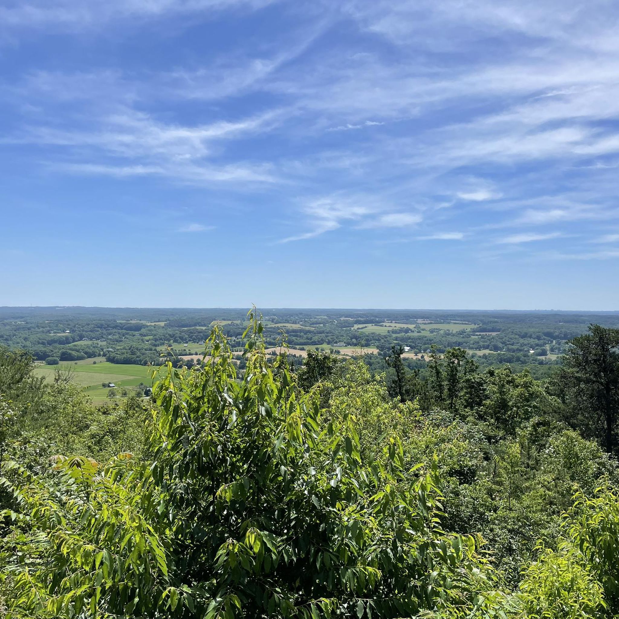
This spot along Hardy Road has a scenic view of a rustic countryside.
0
0

Elder Pine Brewing is a great place for a stop during a ride. There is outdoor seating, food trucks, and is located in a tranquil setting.
0
0

Spread over 3,700 acres, Little Bennett Regional Park is a green oasis. Trails lead through the beautiful scenery so you can easily explore on foot, bike or horseback. You'll spot many species of native plants and animals such as the eastern bluebird and timberdoodle as you wander through forests, meadows and wetlands.
0
0

This 650-acre park is dedicated to environmental preservation and honors environmental activist Rachel Carson with the conservation of the park. There are plenty of well-maintained dirt trails throughout the area as well.
1
0

Was running out of water after climbing the mountain and this saved the day!
1
0
Frequently Asked Questions
How many road cycling routes are available around Damascus?
There are over 45 road cycling routes available around Damascus, catering to various skill levels. These routes cover a total tracked distance of over 2,375 km.
What are the difficulty levels of road cycling routes in Damascus?
The road cycling routes around Damascus offer a range of difficulty levels. You can find 7 easy routes, 35 moderate routes, and 3 difficult routes, providing options for beginners to experienced cyclists. The region features diverse topography, from gentle valley rides to more challenging mountain ascents.
Are there any easy road cycling routes suitable for beginners in Damascus?
Yes, Damascus offers 7 easy road cycling routes perfect for beginners or those looking for a more relaxed ride. These routes often follow river valleys and less demanding terrain, allowing for an enjoyable experience without significant elevation challenges.
What kind of landscapes can I expect to see while road cycling around Damascus?
Road cycling around Damascus offers diverse landscapes. You'll traverse the fertile Barada Valley, featuring sparkling waters, small villages, and orchards. Routes also extend into the foothills of the Qalamoun Slopes, offering varied topography, pine forests, and fruit orchards. The region is characterized by river valleys, rolling hills, and the lower slopes of surrounding mountains.
What are some scenic viewpoints or attractions along the road cycling routes?
While cycling around Damascus, you can encounter several scenic spots and attractions. For instance, routes near Little Seneca Lake offer pleasant views. Other highlights include Osprey Heights for panoramic vistas and the natural beauty of Little Bennett Regional Park. The Barada River itself provides picturesque scenery west of the city.
What do other cyclists say about road cycling in Damascus?
The road cycling routes around Damascus are highly rated by the komoot community, with an average score of 4.5 stars from over 10 reviews. More than 280 road cyclists have used komoot to explore the region's varied terrain, often praising the diverse landscapes and the options for different ability levels.
When is the best time of year for road cycling in Damascus?
The region around Damascus, particularly the Mountains of Bloudan and Zabadani, offers cooler temperatures and pure mountain air, making them pleasant during warmer months. Generally, spring and autumn provide ideal conditions with mild weather for road cycling. Winter conditions can vary, especially at higher elevations.
Are there circular road cycling routes available in Damascus?
Yes, many road cycling routes around Damascus are designed as loops. Popular examples include the Patuxent River State Park loop from Damascus, the Little Bennett Regional Park loop from Froggy Hollow Trail Head Parking, and the Little Bennett Regional Park loop from Wilson Mill Parking Area and Trail, offering varied distances and challenges.
Where can I find parking or trailhead access for road cycling routes?
Many routes around Damascus, especially those starting near parks, offer designated parking. For example, the Little Bennett Regional Park loop starts from Froggy Hollow Trail Head Parking, and another Little Bennett Regional Park loop begins from Wilson Mill Parking Area and Trail, indicating accessible starting points.
Are there places to stop for refreshments or food along the routes?
The Barada Valley, with its small villages and orchards, and areas like Mashta al-Helou and Kafroun, nestled amidst pine-covered hills, are likely to offer local cafes or eateries. The presence of an active cycling community also suggests that routes are often chosen to include convenient stops for refreshments.
What are the surface conditions like on road cycling routes around Damascus?
The region offers a mix of road cycling opportunities. While specific route conditions can vary, the presence of a growing local cycling community and events like the 'Damascus Bicycle March' suggest a network of roads suitable for cycling. Some routes may feature well-maintained surfaces, while others might include sections with varied quality, typical of diverse regional terrain.
What natural features define the road cycling experience in the Damascus region?
The road cycling experience in Damascus is defined by its rich natural features. You'll encounter the fertile Barada Valley with its river, the cooler temperatures and pine forests of the Mountains of Bloudan and Zabadani, and the fruit orchards that dot the landscape. The Qalamoun Slopes rising towards Mount Hermon also offer mountainous terrain, providing varied challenges and scenic beauty.
Are there any specific regulations or safety considerations for cycling in Damascus?
While the region has an active cycling community and numerous routes, it's advisable to research current local regulations and safety guidelines before planning your trip. General tourism to Syria has faced challenges, so staying informed about the current situation is crucial. For broader information on Syrian nature and forests, you can refer to resources like visitdamascussyria.com and visitdamascussyria.com/from-damascus/forests-in-syria/.
Most popular attractions around Damascus

Get inspired with the komoot mobile app


Explore more
Browse the best Road cycling routes in other regions.
