The best running trails around Rockland
5.0
(3)
162
runners
22
runs
Jogging around Rockland offers a diverse landscape for runners, characterized by rolling hills and varied terrain. The region features trails that traverse both open areas and more secluded paths, providing a mix of challenges and scenic views. Many routes include elevation changes, making them suitable for those seeking a workout with some climbing.
Best jogging routes around Rockland
- The most popular jogging route is Round the Mountain Trail, a 9.5 miles (15.3 km) trail that takes 1 hour 54…
Last updated: October 11, 2026
4
runners
15.3km
01:54
380m
380m
If you are ready for a difficult jogging challenge, the Round the Mountain Trail offers a diverse experience through mature forests and over scenic streams. You will cover 9.5 miles…
5.0
(1)
4
runners
4.25km
00:29
100m
100m
Embark on the Beech Hill Loop, a moderate jogging route that takes you through a varied landscape of open grasslands, organic blueberry fields, and mixed hardwood forests. As you jog,…

2
runners
7.82km
01:18
300m
300m
Embark on the Ragged Mountain Trail for a challenging jogging experience that rewards you with expansive views. This difficult route covers 4.9 miles (7.8 km) and involves a significant elevation…
1
runners
3.58km
00:31
150m
150m
Embark on the Georges Highland Path - Spruce Mountain Trail for a moderate jogging experience that winds through classic Maine landscapes. You will navigate hardwood forests and mixed-wood lowlands, encountering…
1
runners
9.16km
01:16
320m
320m
Prepare for a challenging jogging experience on the Little Ragged and Ragged Mountain Loop. This difficult route spans 5.7 miles (9.2 km) and features a significant elevation gain of 1038…
Get access to more routes and recommendations from other explorers.
Already have an account?
Our route recommendations are based on thousands of hikes, rides, and runs completed by other people on komoot.
Start today with a free account
Your next adventure awaits.

Tips from the Community

Beech Hill can be reached via Beech Hill Trail from either direction and done as an out-and-back or loop run. The summit is an open hill offering splendid views of Penobscot Bay and Camden Hills. There is a connector trail to Erickson Fields Preserve if you wish to extend the run.
0
0

The map may direct you to park at the axillary lot down the hill — you can park at the Thorndike Brook Trailhead and take a right at the first junction to hop onto the Around the Mountain Trail. The AMT is a wide flat-packed gravel trail that is open to all types of outdoor activity. It is ~5.5 miles from here to the Camden Snowbowl.
0
0
From here you get views straight across to Ragged Mountain. At this point you are more than halfway up the mountain!
0
0
Here there is a paved parking lot just off of Rockland street. You can take the George Highland Path south to Spruce Mountain or north to Ragged and Little Ragged.
0
0
There is a fairly large parking lot by Hosmer Pond just past and to the left of the main Snow Bowl lot. From here you can easily hike Ragged or the wide gravel Round Mountain Trail. If you take the red diamond trail up Ragged, the initial portion is not well marked, so download the map ahead of time and keep an eye out for bikers.
0
0
The map may direct you to park at the axillary lot down the hill — you can park at the Thorndike Brook Trailhead and take a right at the first junction to hop onto the RMT. The RMT is a wide flat-packed gravel trail that is open to all types of outdoor activity. It is ~5.5 miles from here to the Camden Snowbowl.
0
0
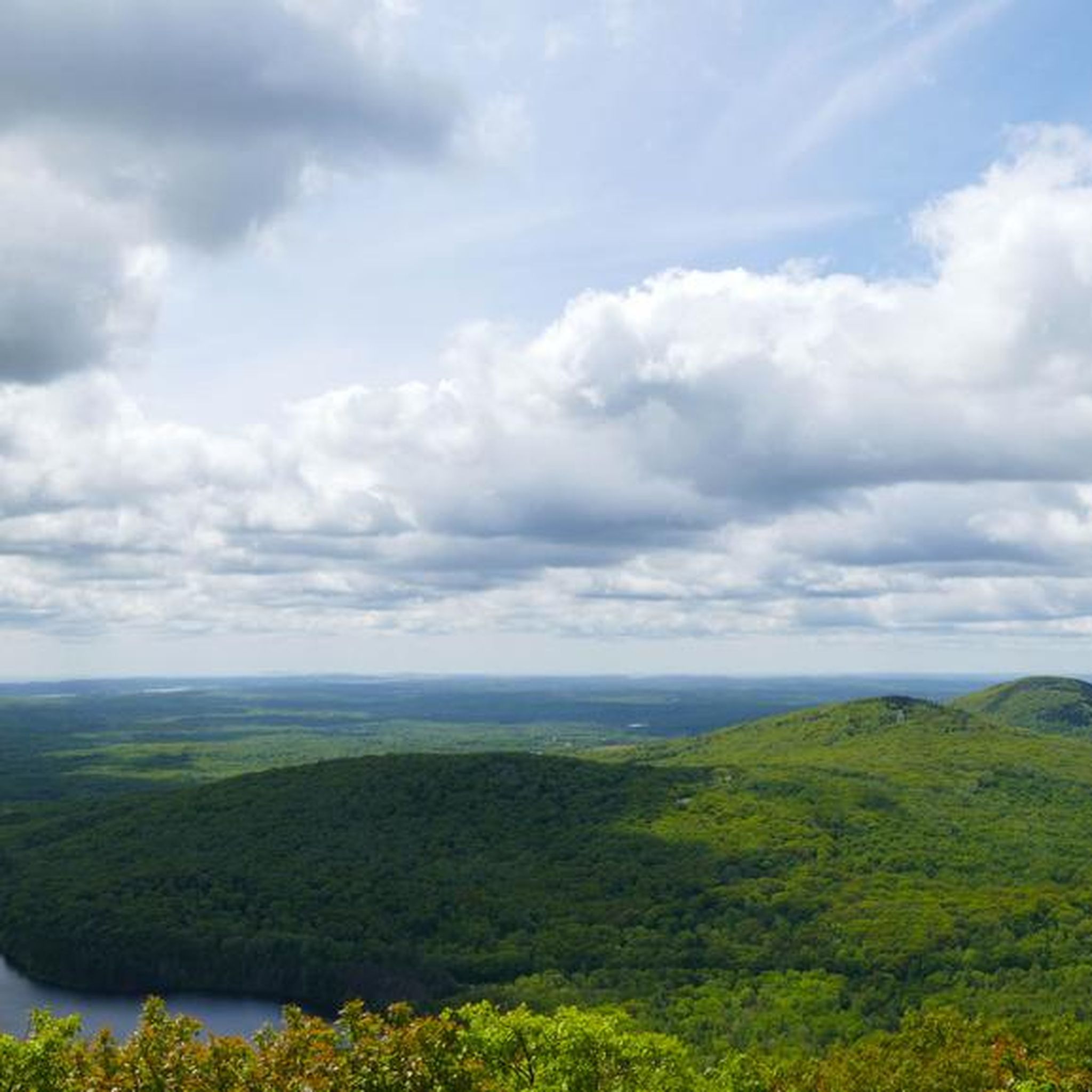
From the summit you get great views of Ragged Mountain, Bald Mountain, and the nearby lakes. The summit is rocky and mostly forested.
0
0
There is a packed gravel parking lot here off of Hope Street from which you can access the George Highland Trail. The first junction you come across is with the Round the Mountain Trail — straight ahead follows the Thorndike Brook Trail. You can turn right to take the Round the Mountain Trail or left to go the the auxiliary parking lot.
0
0
Frequently Asked Questions
How many running routes are available in Rockland?
Rockland offers a selection of over 25 dedicated running routes. These trails vary in difficulty, providing options for different fitness levels, from moderate loops to more challenging mountain paths.
Are there any easy jogging routes in Rockland for beginners?
Yes, Rockland features a few easier jogging routes suitable for beginners. While many trails involve elevation changes, there are 2 routes classified as easy, and 15 as moderate, offering less strenuous options to get started.
What are the typical trail conditions for jogging in Rockland?
Jogging routes in Rockland are characterized by varied terrain, including rolling hills, forest paths, and open areas. Many routes feature elevation changes and can include natural surfaces, so appropriate footwear is recommended.
Are there any circular jogging routes in Rockland?
Many of Rockland's running trails are designed as loops, offering circular routes. For example, the Beech Hill Loop is a popular 4.3 km circular trail that takes you through a mix of open and wooded areas.
What kind of scenic viewpoints can I expect on Rockland's running trails?
Rockland's running routes often lead to beautiful viewpoints. For instance, the Beech Hill Loop offers views of Penobscot Bay from its summit. Other trails may provide vistas of the region's diverse landscape, including hills and brooks. You can find more details on specific viewpoints like the View of Penobscot Bay from Beech Hill.
Are there any family-friendly running trails in Rockland?
While many routes in Rockland feature elevation changes, there are moderate options that families might enjoy. The Beech Hill Loop, at 4.3 km and classified as moderate, could be a suitable choice for families looking for a shorter, scenic run.
What do other runners say about the jogging experience in Rockland?
The running routes in Rockland are highly rated by the komoot community, with an average score of 5.0 stars. Runners often praise the varied terrain, significant elevation gains, and the mix of open and secluded paths that provide both challenge and scenic beauty.
Are there any notable landmarks or attractions near the running routes in Rockland?
Yes, several running routes are close to interesting landmarks. For example, you can explore the Mount Battie Trail, or visit the Ragged Mountain Summit. Other nearby attractions include Rockport Harbor and the iconic Rockland Breakwater Lighthouse.
What is the longest running trail available in Rockland?
The longest running trail in Rockland is the Round the Mountain Trail, which spans 15.3 km (9.5 miles). This difficult route features significant elevation gain and varied terrain, typically taking around 1 hour and 54 minutes to complete.
Are there any challenging running routes for experienced runners in Rockland?
Absolutely. Rockland is known for its challenging terrain, with 8 routes classified as difficult. Experienced runners can tackle trails like the Round the Mountain Trail (15.3 km) or the Hosmer Brook and Red Diamond Trail Loop (6.9 km), both offering significant elevation changes and rugged paths.
Can I find running routes that offer a mix of open and wooded areas?
Yes, many of Rockland's running routes provide a diverse experience, winding through both open landscapes and more secluded wooded sections. The Beech Hill Loop is a good example, offering a balanced mix of these environments.
How long does it typically take to complete a running route in Rockland?
The duration varies significantly depending on the route's length and difficulty. Shorter, moderate trails like the Beech Hill Loop can be completed in about 28 minutes, while longer, difficult routes such as the Round the Mountain Trail may take nearly two hours.
Most popular attractions around Rockland

Get inspired with the komoot mobile app


Explore more
Browse the best Running Trails & Routes in other regions.
