The best cycling routes around Paradisbakkerne
4.5
(774)
3,658
riders
124
rides
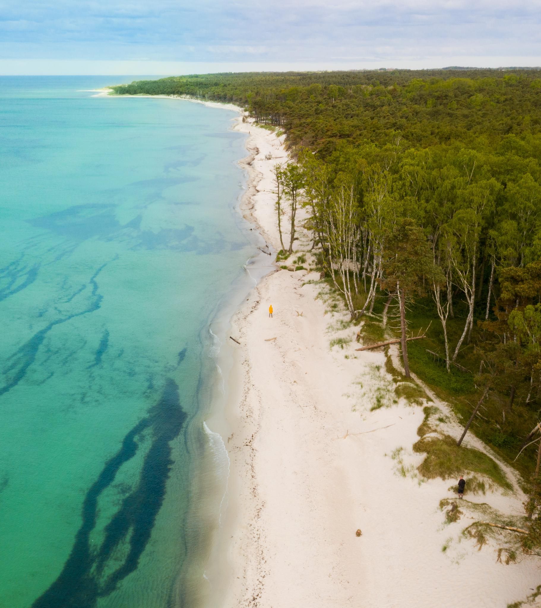
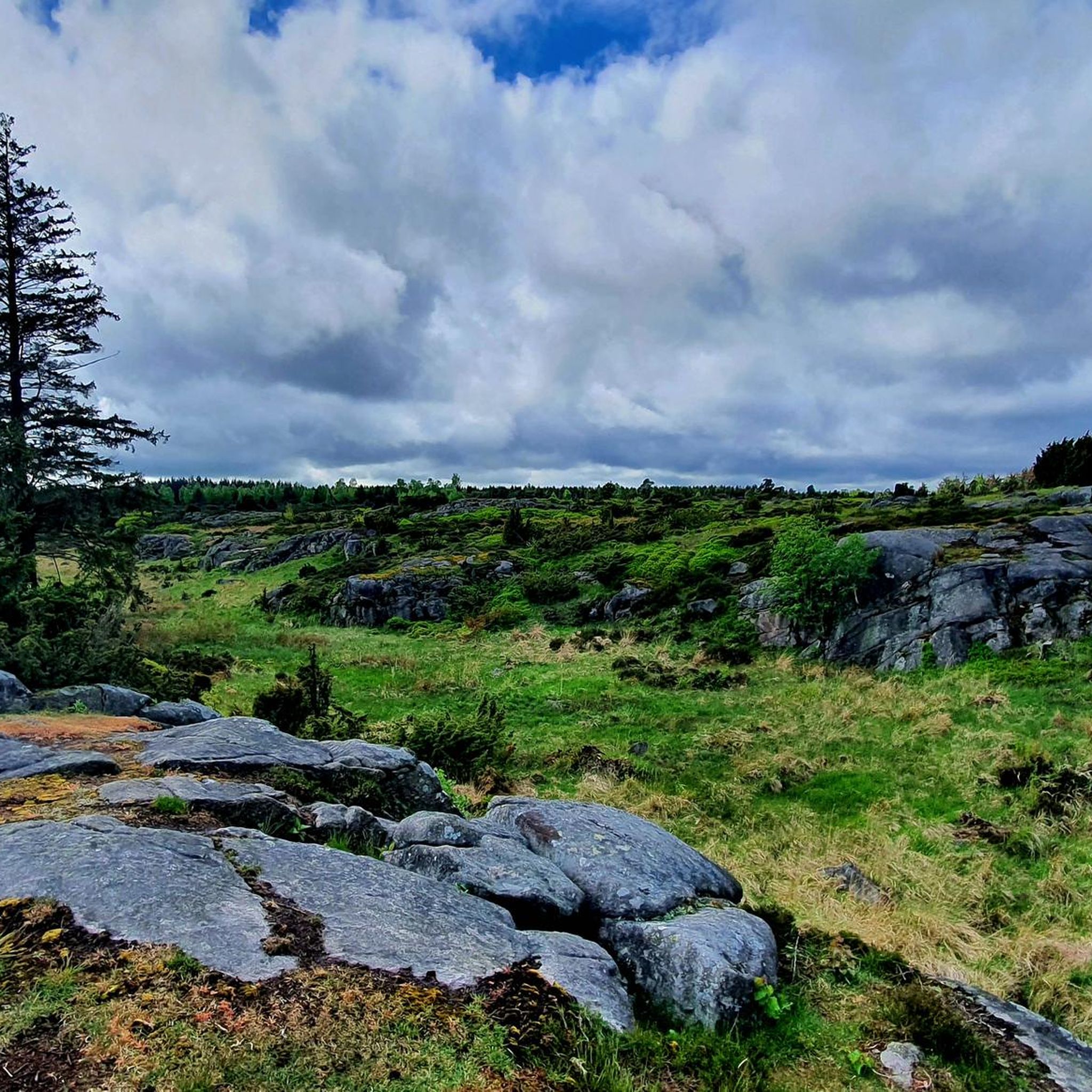
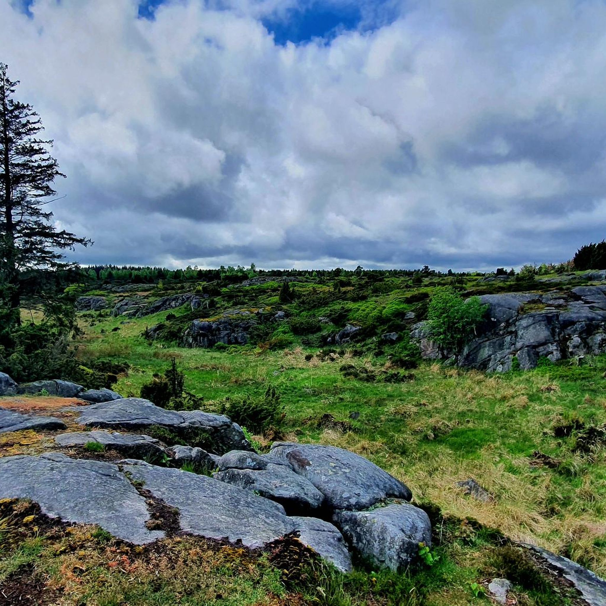
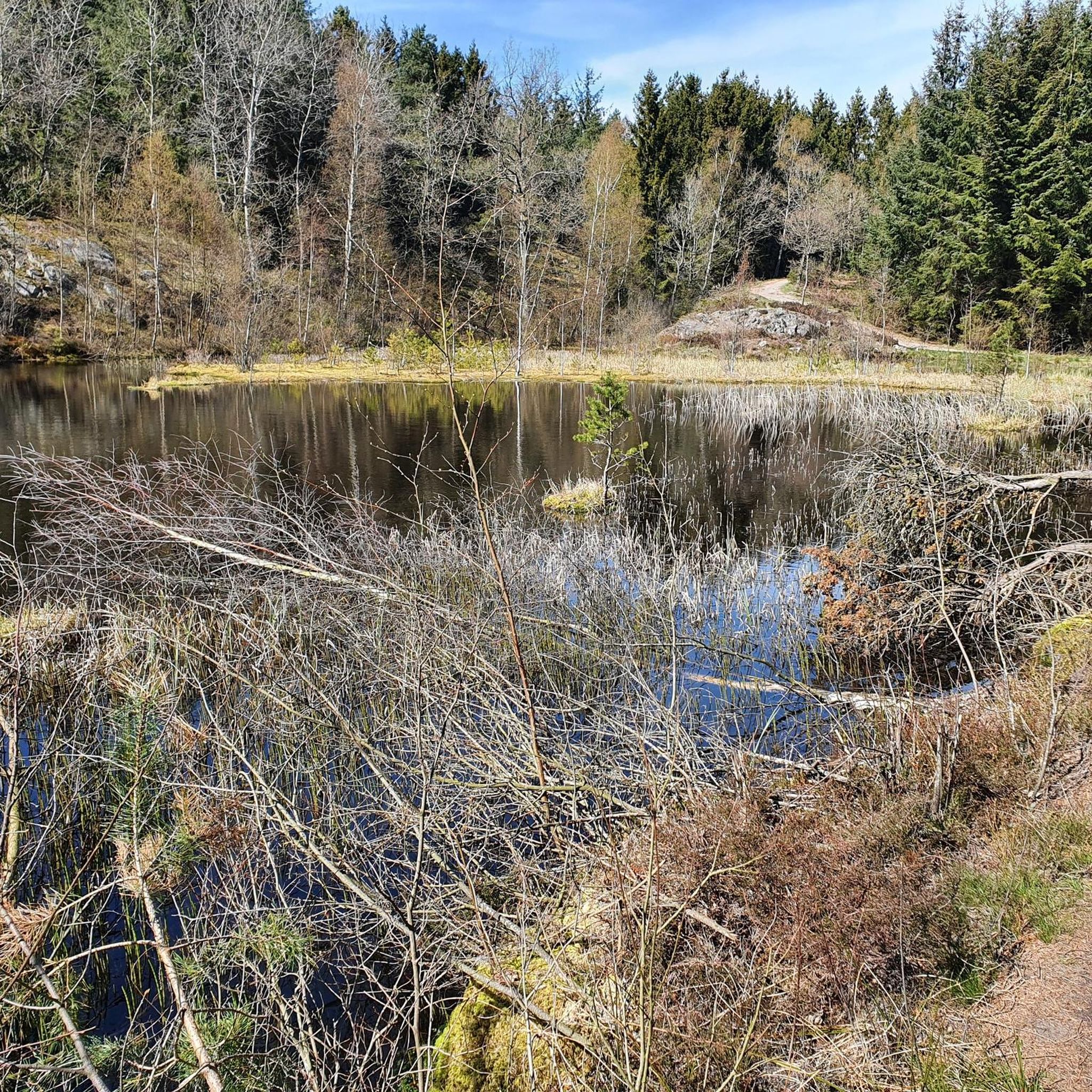
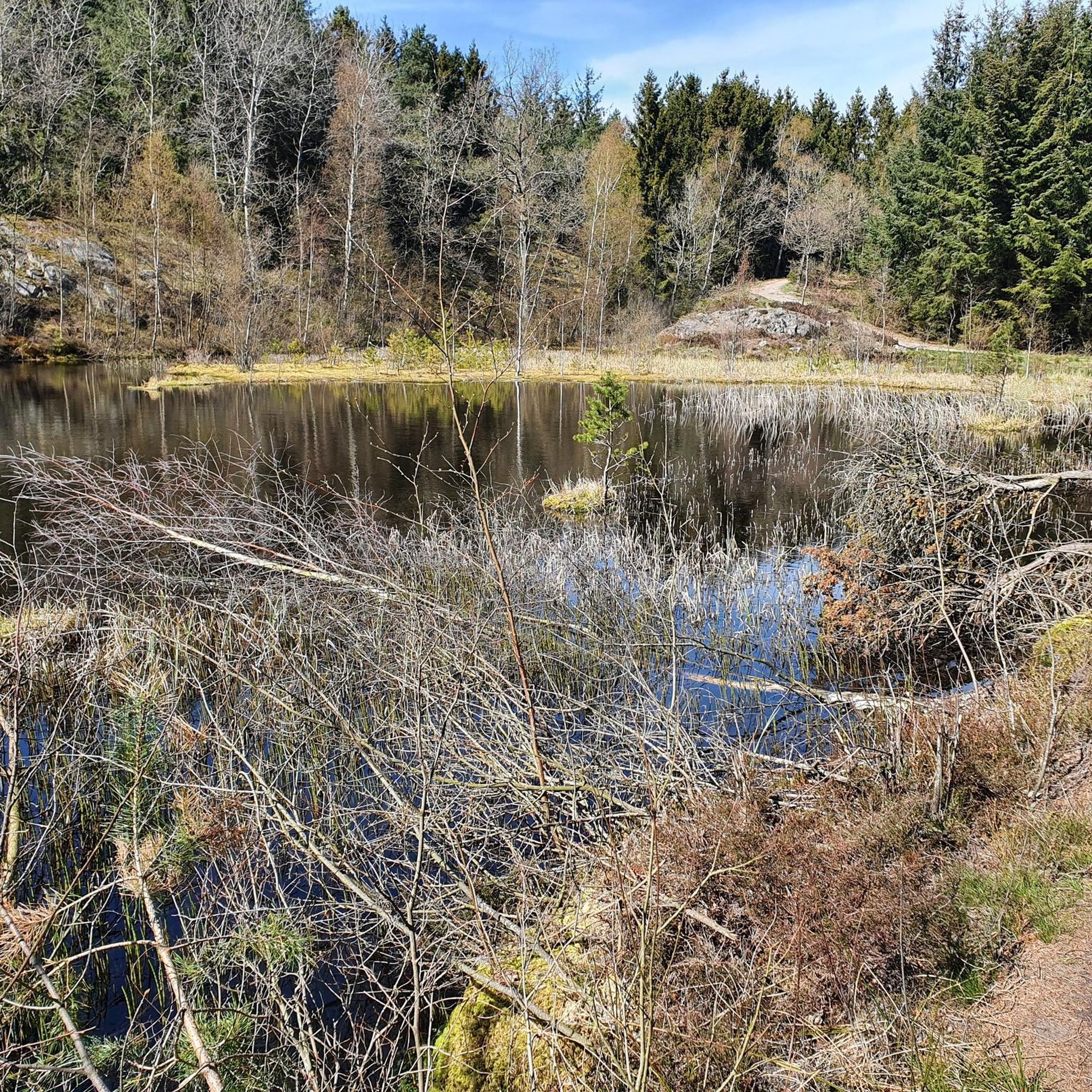
Touring cycling around Paradisbakkerne, located on the Danish island of Bornholm, features a hilly, rocky terrain with significant elevation changes. The area is characterized by narrow rift valleys, some with vertical cliffs, and is largely covered by diverse forest areas. Small lakes and marshes are interspersed throughout this landscape, which also bears marks of the last ice age, including glacial boulders. Midterpilt, at 113 meters, offers expansive views across the varied environment.
Best touring cycling routes around Paradisbakkerne
- The most…
Last updated: August 20, 2026
5.0
(2)
4
riders
10.8km
00:39
90m
90m
Easy bike ride. Great for any fitness level. Mostly paved surfaces. Suitable for all skill levels.
4.0
(1)
2
riders
7.99km
00:33
60m
60m
Easy bike ride. Great for any fitness level. Mostly paved surfaces. Suitable for all skill levels.

Sign up for free
4.6
(5)
15
riders
32.4km
01:59
140m
140m
Easy bike ride. Great for any fitness level. Mostly paved surfaces. Suitable for all skill levels.
2
riders
12.3km
00:50
70m
80m
Easy bike ride. Great for any fitness level. Mostly paved surfaces. Suitable for all skill levels.
4.8
(4)
34
riders
Easy bike ride. Great for any fitness level. Mostly paved surfaces. Suitable for all skill levels.
Get access to more routes and recommendations from other explorers.
Sign up for free
Already have an account?
Our route recommendations are based on thousands of hikes, rides, and runs completed by other people on komoot.
Start today with a free account
Your next adventure awaits.
Login or Signup
Other adventures around Paradisbakkerne

Tips from the Community


Bench with a view of Svaneke and the Baltic Sea
2
0
small jetty with a view of Svaneke
2
0

Snogebæk isn't really a pretty place, but there are plenty of food stalls and good restaurants. There's also a delicious smokehouse.
1
0
Nice place for swimming, but the "beach" is only 10m wide
1
0

Svaneke Lighthouse Inaugurated in 1920, the Svaneke Lighthouse stands on the peninsula Sandkås Odde, south of the harbour, on Bornholm's east coast. The square tower is 18 metres high and can be seen from afar thanks to its red roof. The light's height is given as 20 metres, and its range as 19 nautical miles. Since 2010, the tower has been out of operation. In 1947, the tower, like most on the island, was electrified. Today, the lighthouse, along with the lighthouse keeper's house, has been modernly restored and converted into a holiday home – a very special holiday accommodation. bornholm-ferien.de/leuchttuerme-bornholm.php
3
0

What an idyllic location! We were thrilled and took a lovely break to look around and enjoy.
0
0
The most beautiful hiking trails, such as the yellow route, are here. For me, as a senior citizen with unsteady footing, good hiking poles are a must.
0
0
Frequently Asked Questions
How many touring cycling routes are available in Paradisbakkerne?
Paradisbakkerne offers a wide selection of touring cycling routes, with over 120 options available on komoot. These routes cater to various skill levels, including easy, moderate, and difficult trails.
What kind of terrain can I expect when touring cycling in Paradisbakkerne?
You can expect a diverse and dynamic landscape. Paradisbakkerne is known for its hilly, rocky terrain with significant elevation changes, often referred to as 'hills of paradise.' Routes wind through narrow rift valleys, some with impressive cliffs, and extensive forest areas. You'll also encounter small lakes, marshes, and geological features left by the last ice age, such as glacial boulders.
Are there touring cycling routes for beginners or families in Paradisbakkerne?
Yes, Paradisbakkerne has plenty of options for less experienced cyclists and families. Over 60 of the touring cycling routes are rated as easy. For example, the Gryet Standing Stones – Beech forest loop from Gryet is an easy 7.6-mile (12.3 km) route that takes you through pleasant forest areas.
Are there challenging touring cycling routes in Paradisbakkerne?
Absolutely. The 'hilly character' of Paradisbakkerne, with its 'serious ups and downs,' provides a rewarding challenge for experienced touring cyclists. There are 9 routes specifically rated as difficult, offering more demanding climbs and descents through the varied terrain.
What natural attractions or landmarks can I see along touring cycling routes in Paradisbakkerne?
Paradisbakkerne is rich in natural wonders. You can cycle past the famous Rokkestenen (the Rocking Stone), a massive boulder you can make rock. Other notable features include picturesque rift valleys like Dybedal Gorge, and serene spots like Gamledam Pond and Grydesø. Many routes also offer views of the diverse forests of Paradisbakkerne.
Are there any specific viewpoints accessible by touring bike in Paradisbakkerne?
Yes, you can reach several viewpoints by bike. Midterpilt, one of the highest points at 113 meters above sea level, offers expansive panoramic views across the varied landscape and is marked by an impressive cairn. You can find the Midterpilt Stone Cairn and the Midterpilt Cairn (Highest point of the Paradisbakkerne) as highlights.
Can I find circular touring cycling routes in Paradisbakkerne?
Yes, the majority of touring cycling routes in Paradisbakkerne are designed as loops, allowing you to start and end at the same point. This makes planning your ride convenient, whether you're looking for a short spin or a longer exploration of the area.
What do other touring cyclists say about their experience in Paradisbakkerne?
The touring cycling routes in Paradisbakkerne are highly regarded by the komoot community, holding an average rating of 4.5 stars from over 600 reviews. Cyclists frequently praise the diverse forest areas, the unique rocky terrain, and the well-maintained network of trails that provide both exhilarating climbs and peaceful descents.
What is the best time to visit Paradisbakkerne for touring cycling?
Paradisbakkerne is accessible year-round from sunrise to sunset. The diverse forest areas offer shade in summer and beautiful colors in autumn. Spring brings fresh greenery, while winter can provide a unique, tranquil experience, though some paths might be more challenging. Generally, late spring to early autumn offers the most comfortable weather conditions for touring cycling.
Is Paradisbakkerne suitable for touring cyclists with dogs?
While Paradisbakkerne is a natural area, specific regulations regarding dogs on cycling trails can vary. It's generally advisable to keep dogs on a leash to protect wildlife and ensure the safety of other trail users. Always check local signage for any specific rules or restrictions regarding pets in certain areas.
Are there options for parking or public transport near the touring cycling routes in Paradisbakkerne?
Many komoot touring cycling routes in Paradisbakkerne are designed to start from accessible points, often near parking facilities or locations that can be reached by public transport. While specific parking details for each trailhead are not always listed, the area is generally well-equipped for visitors. For detailed public transport information, it's best to consult local Bornholm transport schedules.
Are there places to eat or rest near the touring cycling routes?
While the Paradisbakkerne area itself is primarily natural, the surrounding villages and towns on Bornholm offer various cafes, restaurants, and accommodation options. Many touring routes will pass close to or through these communities, providing opportunities for refreshments and rest stops. It's a good idea to plan your route to include these amenities if needed.
Most popular routes around Paradisbakkerne
Most popular attractions around Paradisbakkerne

Get inspired with the komoot mobile app


Explore more
Browse the best Cycling routes in other regions.
