The best walks and hikes around Calmeynbos
4.4
(3719)
28,998
hikers
611
hikes
Hiking around Calmeynbos, located near De Panne, offers a network of trails primarily characterized by woodlands and dune landscapes. The region is part of the larger Westhoek area, known for its natural reserves and relatively flat terrain. Hikers can expect routes that traverse forested areas, often bordering coastal dunes, with minimal elevation changes. This environment provides varied natural settings for outdoor activities.
Best hiking trails around Calmeynbos
- The most popular hiking route is Westhoek hiking trail, a 6.4 miles…
Last updated: October 5, 2026
4.6
(392)
1,832
hikers
10.4km
02:39
30m
30m
Moderate hike. Good fitness required. Easily-accessible paths. Suitable for all skill levels.
4.6
(54)
288
hikers
Moderate hike. Good fitness required. Easily-accessible paths. Suitable for all skill levels.

4.7
(60)
282
hikers
Moderate hike. Good fitness required. Easily-accessible paths. Suitable for all skill levels.
4.5
(39)
189
hikers
Moderate hike. Good fitness required. Easily-accessible paths. Suitable for all skill levels.
4.3
(29)
155
hikers
6.58km
01:41
20m
20m
Easy hike. Great for any fitness level. Easily-accessible paths. Suitable for all skill levels.
Get access to more routes and recommendations from other explorers.
Already have an account?
Our route recommendations are based on thousands of hikes, rides, and runs completed by other people on komoot.
Start today with a free account
Your next adventure awaits.

Tips from the Community

"Westerpunt" is a six-meter-high architectural gem on the promenade leading to France. Studio MOTO designed it as a symbolic connection between the sea, dunes, and humanity. From the top, you can enjoy a magnificent 360° view of the surroundings. At high tide, part of the structure is submerged, making it seem as if you are literally suspended "above" the sea.
0
1

The spider often has negative connotations: it's a dirty little creature, it can be dangerous, etc. But Monique Mol uses the spider as a symbol of (feminine) creative power: the spider weaves a web of connection and solidarity. Source: https://www.strandverblijf.be/nl/wandelingen/beeldenroute-de-panne
0
0
For the affluent middle class, the sea wall served as a kind of urban boulevard at the end of the 19th and beginning of the 20th century, perfect for strolling. Not only the sea wall, but also the buildings along it reflect this urban living culture. The villas form a continuous development and are situated on narrow plots. Furthermore, the facades always face the sea, ensuring optimal views of the beach and the water. All these characteristics are still evident in Villa Doudou. This cottage-style house from 1901 was designed by Albert and Alexis Dumont and was originally called "Titikot." It is a narrow, deep house with three stories under a mansard roof. The sea view clearly takes precedence here, as the front door is located on the first floor (half a floor above street level) and opens directly onto the living room, making the living space the width of the building plot. The use of beveled windows also contributes to this effect. The house has a separate service entrance that leads directly into the basement and is intended for staff. The villa is a protected monument, but today it sits wedged between two tall apartment buildings, a typical image of current coastal development. Source: Walking Guide Heritage Walk De Panne
3
0
De Panne's beach is the widest in Belgium and lies near the French border at the western tip of the Flemish coast. This makes De Panne the westernmost coastal municipality before you set foot in France. A mix of this French flair, nature, sports, and the wide beach await you.
1
0
Nice setup of the Red Spider to take a picture together.
4
0
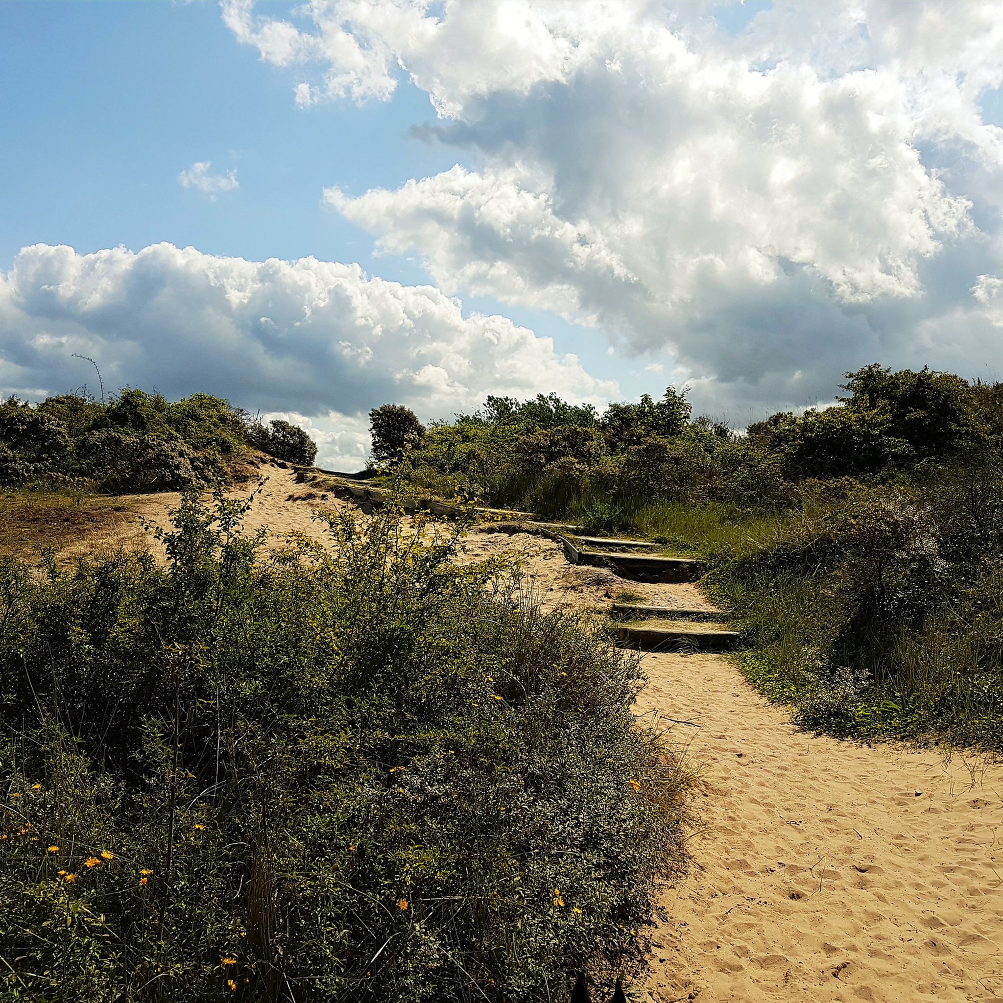
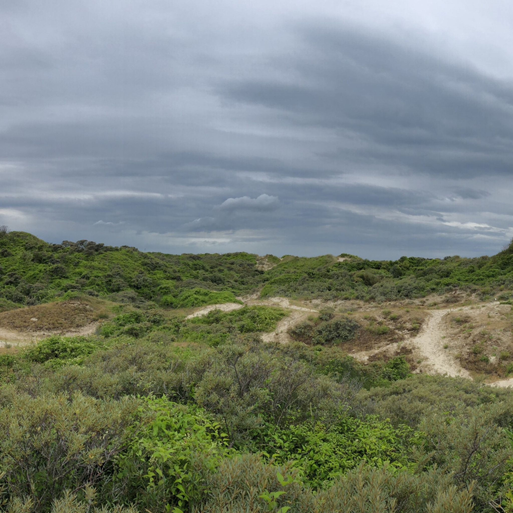
Beautiful viewing platform, a true highlight of the Westhoek Nature Reserve. Enjoy the impressive dune landscape.
5
0
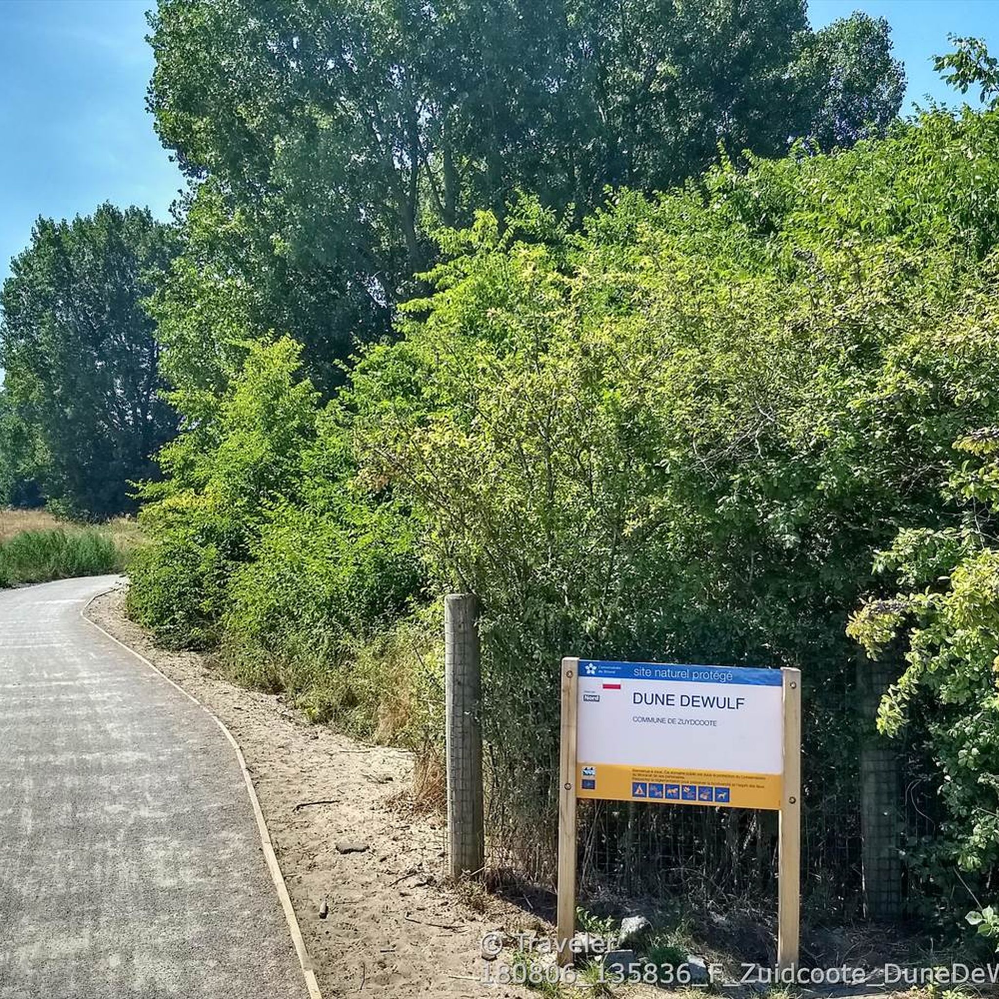
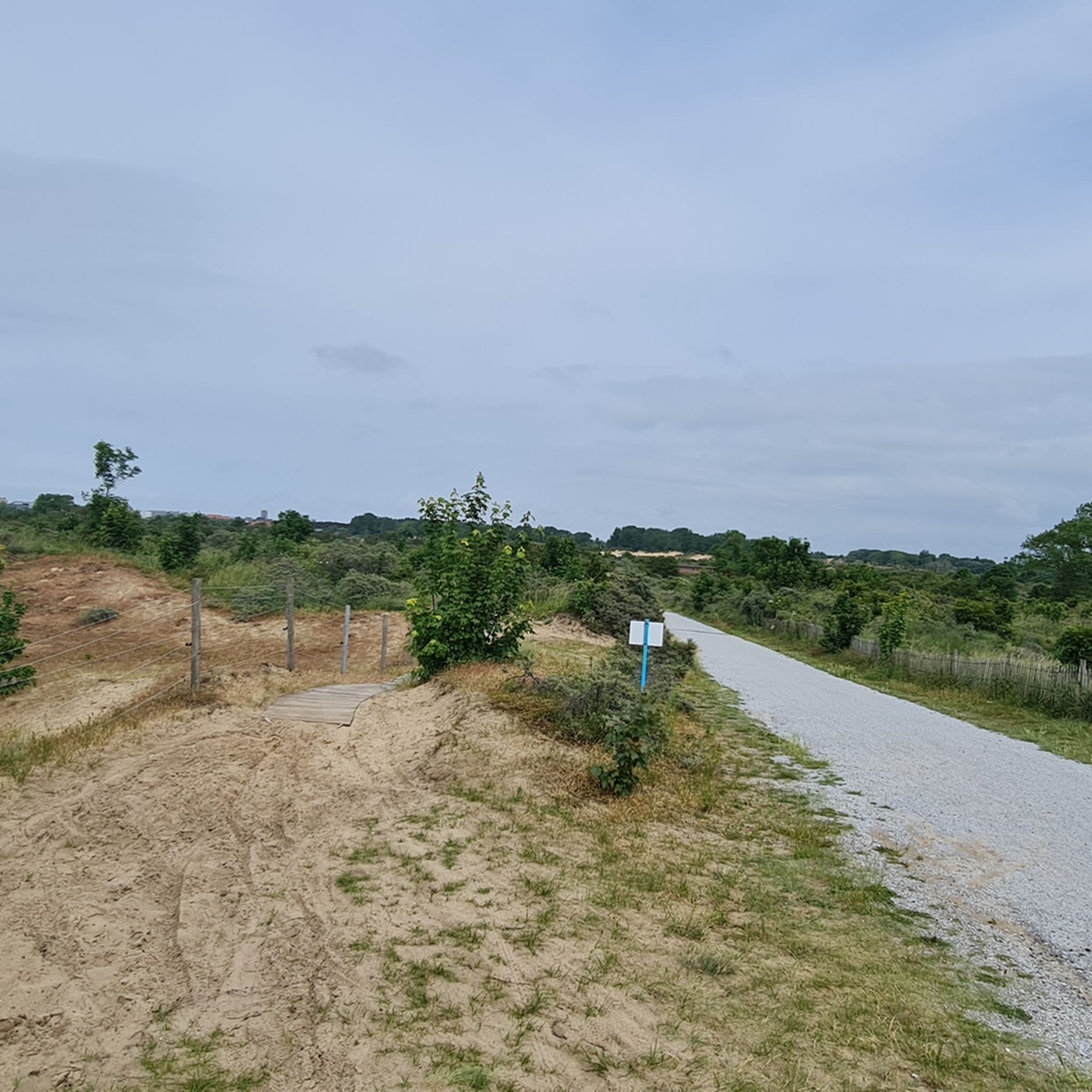
The Ligusterpad is nestled between De Panne and the French border. Hikers can enjoy the impressive dune landscape of the Westhoek region.
5
0
First of all, this boundary marker on the beach is completely new, as an earlier one was irreparably damaged in 2021. The date and initials refer to the brief period from 1814 to 1830 when France bordered the Netherlands. The former boundary marker was first erected in 1819. Now, this boundary marker 2.0 marks the border between Belgium and France. The point also indicates the westernmost point of Belgium combined with the northernmost point of mainland France.
5
0
Frequently Asked Questions
How many hiking trails are available in Calmeynbos?
Calmeynbos offers a wide selection of hiking routes, with over 570 trails recorded on komoot. These routes cater to various preferences, ranging from easy strolls through the woodlands to more challenging treks across the dune landscapes.
Are there easy hiking options in Calmeynbos?
Yes, Calmeynbos is well-suited for easy hikes, with over 370 routes classified as easy. The region is characterized by relatively flat terrain and minimal elevation changes, making it ideal for relaxed walks. An example of an easy route is the Wooden Animal Sculptures – Forest in De Panne loop from De Panne, which is about 6.4 km long.
Are the trails in Calmeynbos suitable for families with children?
Absolutely. The generally flat and varied terrain of Calmeynbos, with its mix of woodlands and dunes, makes it very family-friendly. Many of the easy routes are perfect for walks with children, offering engaging natural surroundings without significant difficulty. The Wooden Animal Sculptures – Forest in De Panne loop from De Panne, for instance, offers an engaging experience for younger hikers.
Can I bring my dog on the hiking trails in Calmeynbos?
Yes, Calmeynbos is generally dog-friendly, and many trails welcome dogs. It's always a good idea to keep your dog on a leash, especially in nature reserve areas or where wildlife might be present, to protect both your pet and the local ecosystem. Please check local signage for any specific restrictions.
Are there circular walks available in Calmeynbos?
Yes, many of the hiking routes in Calmeynbos are designed as circular walks, allowing you to start and end at the same point. This is convenient for those who drive to the area. Examples include the popular Westerpunt – View of the Dune Reserve loop from De Panne and the Krakeelduinen Nature Reserve – Wieltjespad Forest Path loop from De Panne.
What kind of landscapes can I expect to see while hiking in Calmeynbos?
Hikers in Calmeynbos can expect a diverse landscape primarily characterized by dense woodlands and expansive dune areas. The trails often transition between these environments, offering a mix of shaded forest paths and open, sandy stretches with views of the coastal region. The area is part of the larger Westhoek region, known for its natural reserves.
What are some interesting landmarks or attractions near the Calmeynbos trails?
Near the Calmeynbos trails, you can explore several interesting points. The Krakeelduinen Nature Reserve is a notable natural highlight. For those interested in local history or art, you might find the Saint Peter's Church or the Bust of Seraphyn Dequidt of interest. The Staging Sea - Beaufort also offers a unique artistic landmark.
Is there parking available for hikers in Calmeynbos?
Yes, there are typically designated parking areas near the main entrances to Calmeynbos and its surrounding nature reserves. Given its popularity, especially near De Panne, you'll find options for parking to access the trailheads. Specific parking availability can vary, so it's advisable to check maps or local information for the most convenient spots.
What is the best time of year to hike in Calmeynbos?
Calmeynbos offers enjoyable hiking experiences throughout the year. Spring brings blooming flora and fresh greenery, while summer provides pleasant conditions for walks through shaded forests. Autumn showcases beautiful fall colors, and even winter can be charming with crisp air and unique scenery, especially in the sheltered woodlands. The relatively mild coastal climate means trails are generally accessible year-round.
What do other hikers enjoy most about hiking in Calmeynbos?
The area is highly rated by the komoot community, with an average score of 4.5 stars from over 3,300 reviews. Reviewers often praise the diverse natural settings, the well-maintained paths that wind through both forests and dunes, and the peaceful atmosphere. The accessibility of routes for various fitness levels is also frequently highlighted.
Are there any longer, more challenging hikes in the Calmeynbos area?
While many routes are easy to moderate, Calmeynbos and the surrounding Westhoek region do offer longer and more challenging options. For instance, the Wieltjespad Forest Path – View from the Hoge Blekker loop from Station Wickieland is a difficult 19.7 km trail that provides a more extensive exploration of the area's diverse landscapes.
Most popular routes around Calmeynbos
Most popular attractions around Calmeynbos

Get inspired with the komoot mobile app


Explore more
Browse the best Hikes in other regions.
