The best walks and hikes around Forchet
4.6
(8974)
44,633
hikers
17
hikes
Hiking around Forchet offers a variety of trails through a beautiful forest in Bezirk Imst. The region is characterized by its forested hills and varied terrain, providing opportunities for both gentle walks and more challenging ascents. Hikers can explore paths that lead to viewpoints, offering perspectives of the surrounding landscape.
Best hiking trails around Forchet
- The most popular hiking route is Area 47 – Tschirgant Viewpoint loop from Ötztal-Bahnhof, a 5.2 miles (8.4 km) trail that takes 2 hours…
Last updated: July 1, 2026
4.6
(8)
22
hikers
8.44km
02:21
160m
160m
Moderate hike. Good fitness required. Easily-accessible paths. Suitable for all skill levels.
4.5
(4)
23
hikers
7.32km
02:05
170m
160m
Moderate hike. Good fitness required. Easily-accessible paths. Suitable for all skill levels.

Sign up for free
5.0
(1)
14
hikers
5.99km
01:36
70m
70m
Easy hike. Great for any fitness level. Easily-accessible paths. Suitable for all skill levels.
10
hikers
6.17km
01:38
60m
60m
Easy hike. Great for any fitness level. Easily-accessible paths. Suitable for all skill levels.
4.0
(6)
13
hikers
6.59km
01:50
120m
120m
Easy hike. Great for any fitness level. Easily-accessible paths. Suitable for all skill levels.
Get access to more routes and recommendations from other explorers.
Sign up for free
Already have an account?
Our route recommendations are based on thousands of hikes, rides, and runs completed by other people on komoot.
Start today with a free account
Your next adventure awaits.
Login or Signup

Other adventures around Forchet

Tips from the Community


Kreuzkapelle on the edge of Sautens - starting point for the Sautener Forchet circular trail, which you can easily combine with a small geocaching 🪙 round (4 caches in a network).
0
0


From here you have a great view of Sautens.
0
0
From here you have a great view of the valley.
0
0
Frequently Asked Questions
How many hiking trails are available in Forchet?
Forchet offers a diverse network of 17 hiking trails. These routes cater to various preferences, with 14 easy and 3 moderate options, ensuring there's something for every hiker.
What is the typical length and duration of hikes in Forchet?
Hikes in Forchet generally range from 3.3 miles (5.3 km) to 5.2 miles (8.4 km). Depending on the route and your pace, you can expect to spend between 1 hour 24 minutes and 2 hours 21 minutes on the trails.
Are there easy hiking trails suitable for beginners or families in Forchet?
Yes, Forchet is an excellent destination for beginners and families. The region features 14 easy routes, characterized by forested paths and gentle hills, making them ideal for a relaxed outdoor experience. For example, the Area 47 – Geotrail Roppen loop from Ötztal-Bahnhof is an easy 3.3-mile trail exploring local geological features.
Are there any circular hiking routes in Forchet?
Many of the trails in Forchet are designed as loops, offering convenient circular routes. Popular options include the Area 47 – Tschirgant Viewpoint loop from Ötztal-Bahnhof and the Tschirgant Viewpoint – View of Sautens loop from Sautens, both providing scenic journeys back to your starting point.
What kind of views can I expect on hikes around Forchet?
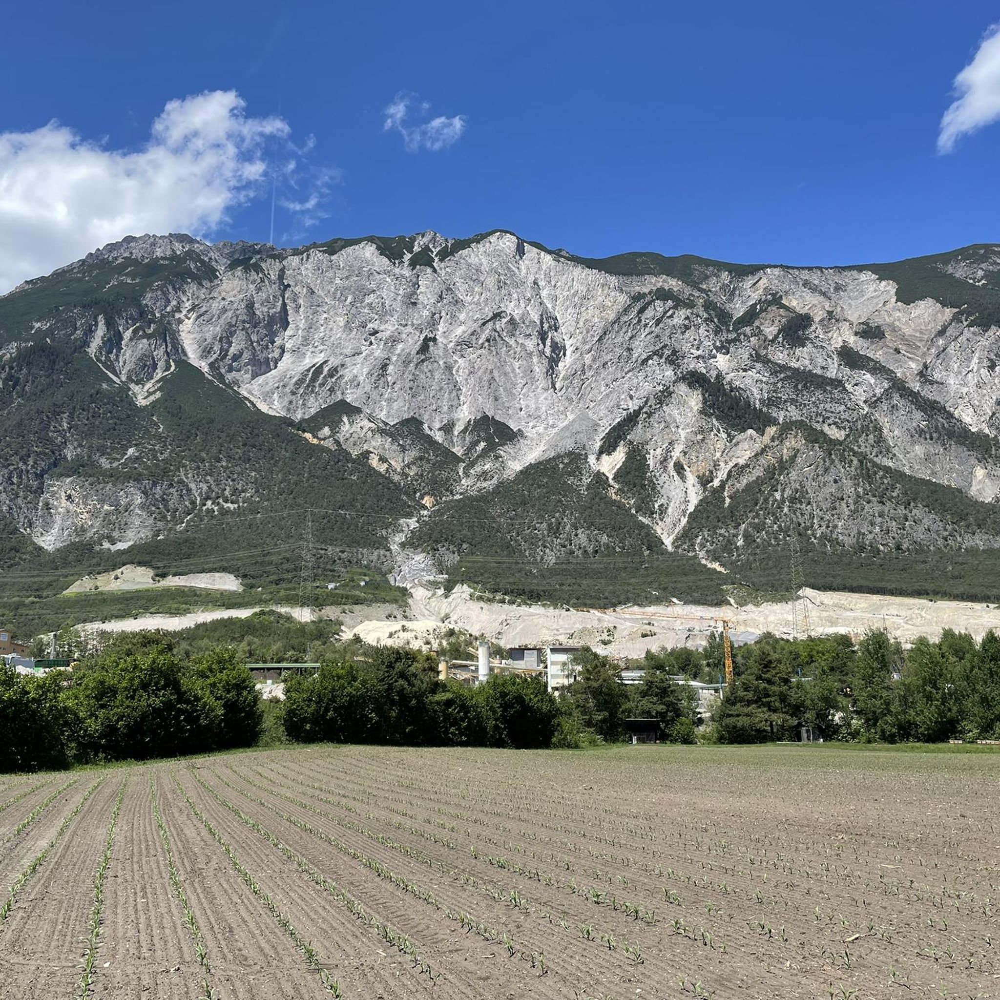
Hikes in Forchet offer scenic viewpoints, primarily showcasing the surrounding forested landscape and glimpses of the Tschirgant mountain. Routes like the Tschirgant Viewpoint – View of Sautens loop from Sautens are specifically known for their panoramic vistas.
What do other hikers enjoy the most about hiking in Forchet?
The hiking trails in Forchet are highly regarded by the komoot community, boasting an average rating of 4.4 stars from over 1,700 reviews. Hikers frequently praise the beautiful forested paths, varied terrain, and the well-maintained nature of the routes, making for an enjoyable outdoor experience.
Are there any notable attractions or points of interest near the hiking trails in Forchet?
Yes, there are several interesting points near the hiking trails. You can explore the adventure park Area 47, walk along the Ötztal Trail Section Inn-Oetz, or visit the Brunauer Footbridge. The Sautener Forchet Pine Forest itself is a beautiful natural attraction to discover.
What is the terrain like on the hiking trails in Forchet?
The terrain in Forchet is characterized by forested hills and varied paths. While many routes are easy with gentle ascents, there are also moderate trails that include steady climbs, offering a good mix for different fitness levels.
Is Forchet a good place for a moderate hiking challenge?
Yes, Forchet offers 3 moderate routes for those seeking a bit more challenge. These trails often feature steady climbs and panoramic views, such as the Tschirgant Viewpoint – View of Sautens loop from Sautens, which includes a notable ascent.
Are there any specific geological features to observe on the trails?
Yes, some trails, like the Area 47 – Geotrail Roppen loop from Ötztal-Bahnhof, are designed to explore local geological features, providing an interesting educational aspect to your hike.
Can I find facilities like restrooms or water along the hiking routes?
While specific facilities vary by route, some trails, such as the Area 47 – Restrooms and Water loop from Ötztal-Bahnhof, are known to pass by points where restrooms and water are available, making them convenient for longer outings.
Most popular routes around Forchet
Most popular attractions around Forchet

Get inspired with the komoot mobile app


Explore more
Browse the best Hikes in other regions.
