The best walks and hikes around Forêt du Salbert
4.5
(730)
5,302
hikers
318
hikes
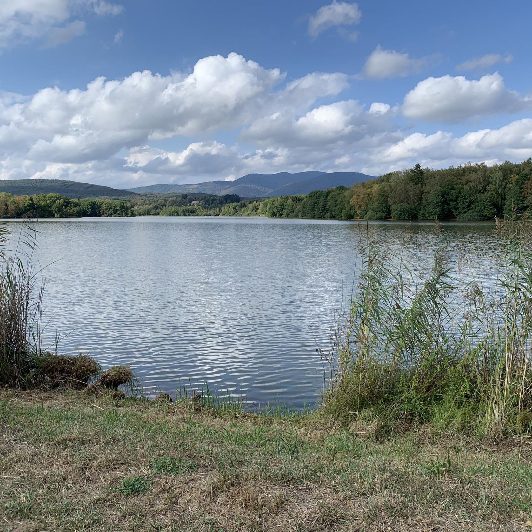
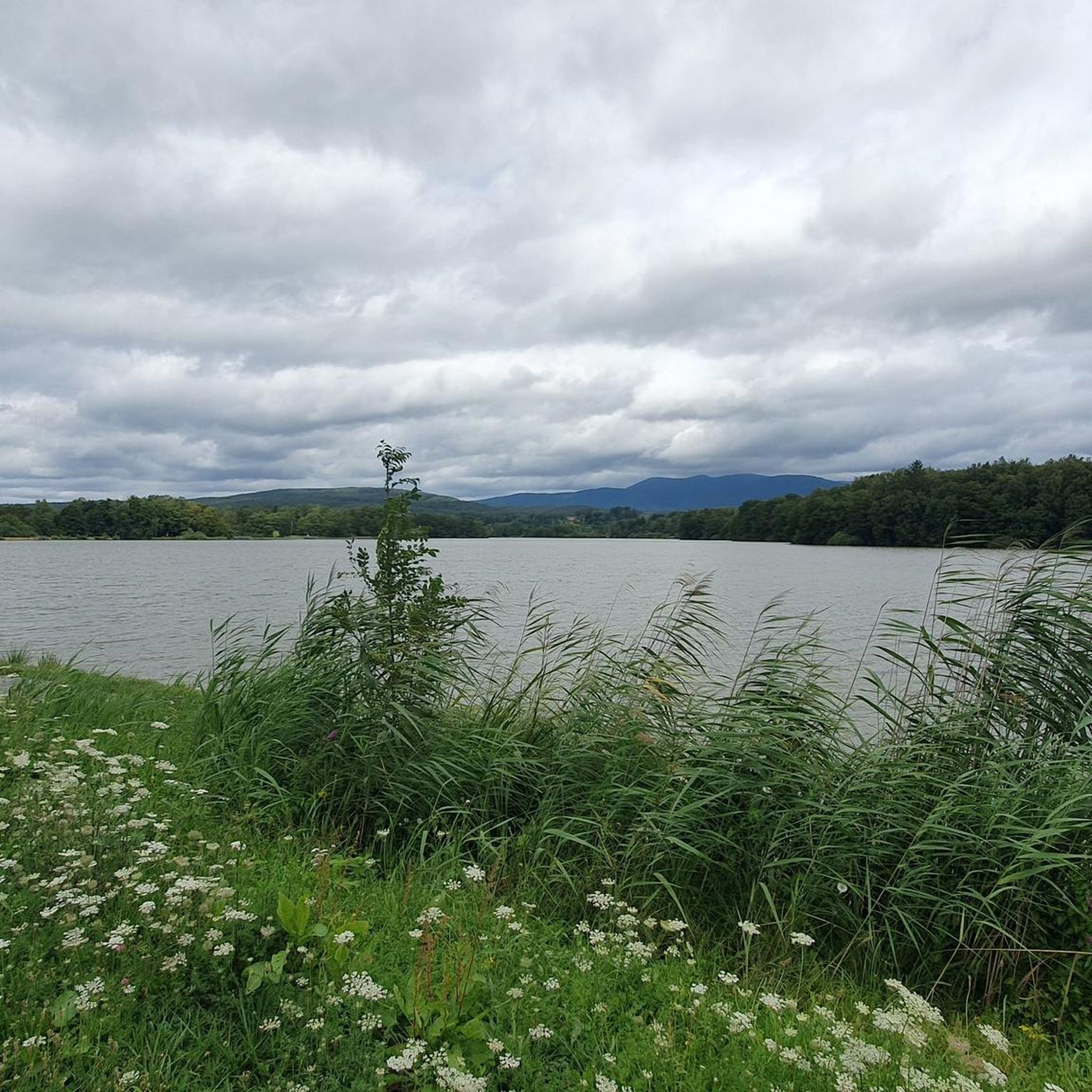
Hiking around Forêt du Salbert offers diverse landscapes characterized by dense woodlands, varied terrain, and panoramic viewpoints. This region, part of the Vosges massif, features the Salbert hill (647m altitude), which provides expansive views of the surrounding plains and mountains. The forest is known for its extensive woodlands and historical sites, including the Fort du Salbert.
Best hiking trails around Forêt du Salbert
- The most popular hiking route is Fort du Salbert — loop in the forêt du Salbert,…
Last updated: July 5, 2026
3.5
(10)
28
hikers
7.94km
02:28
280m
290m
Moderate hike. Good fitness required. Easily-accessible paths. Suitable for all skill levels.
4.6
(8)
76
hikers
7.90km
02:23
250m
250m
Moderate hike. Good fitness required. Easily-accessible paths. Suitable for all skill levels.

Sign up for free
4.4
(7)
32
hikers
8.62km
02:36
290m
290m
Moderate hike. Good fitness required. Easily-accessible paths. Suitable for all skill levels.
13
hikers
5.00km
01:19
50m
50m
Easy hike. Great for any fitness level. Easily-accessible paths. Suitable for all skill levels.
4.0
(1)
8
hikers
6.43km
02:05
270m
270m
Moderate hike. Good fitness required. Easily-accessible paths. Suitable for all skill levels.
Get access to more routes and recommendations from other explorers.
Sign up for free
Already have an account?
Our route recommendations are based on thousands of hikes, rides, and runs completed by other people on komoot.
Start today with a free account
Your next adventure awaits.
Login or Signup


Other adventures around Forêt du Salbert

Tips from the Community

A great place for walking, hiking, and also mountain biking.
0
0

The Salbert is one of the southernmost mountains of the Vosges. At its summit you have an unobstructed view of the entire Territoire de Belfort. Le Salbert is a stronghold of local military history. Fort du Salbert still bears witness to this past today.
3
0

On September 28 at 11 p.m. the eight resistance fighters were taken to the top of the Salbert to be shot.
0
0

Super nice view of the city.
0
0

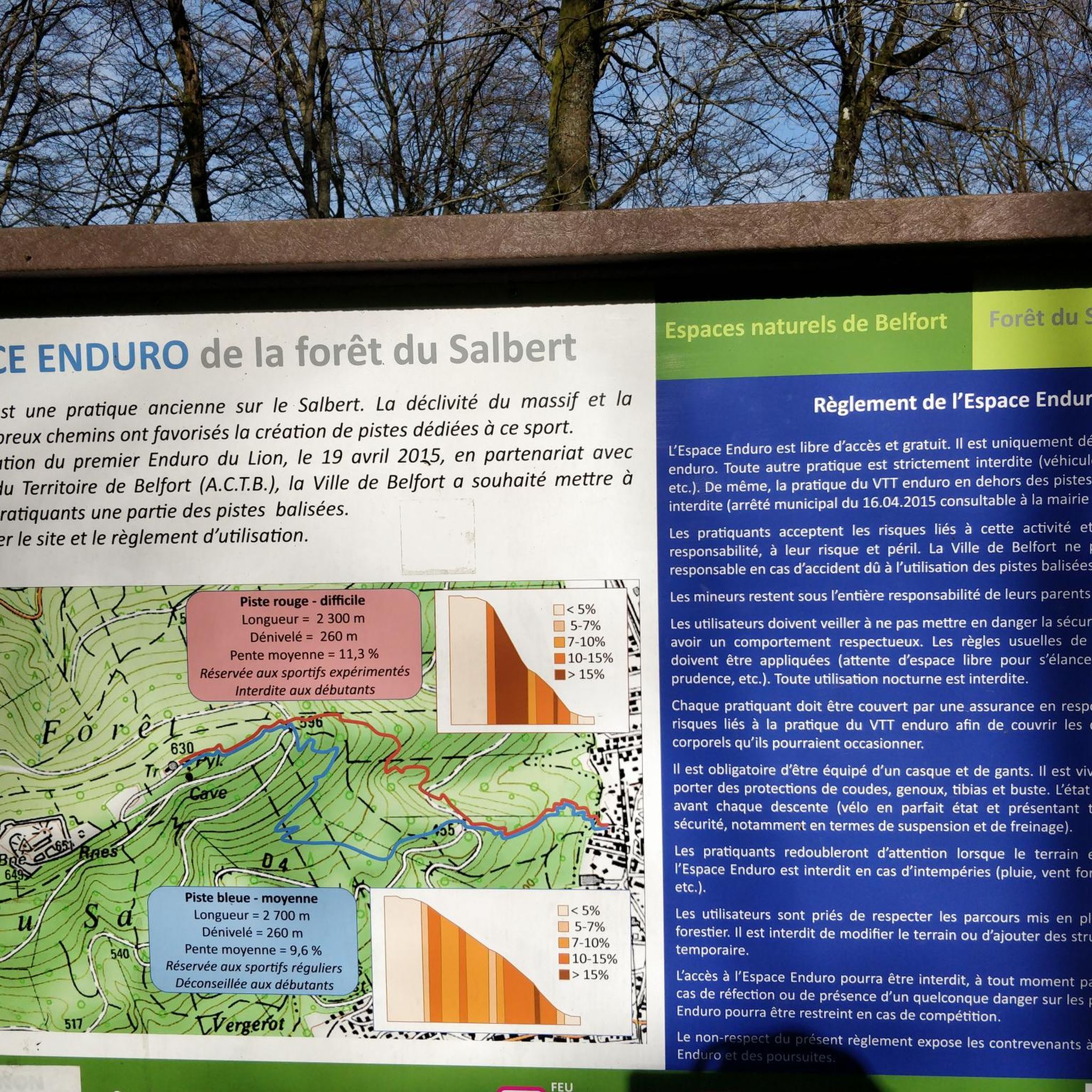
Very nice view, magnificent downhill and enduro tracks, really great.
0
0

Frequently Asked Questions
How many hiking trails are available in Forêt du Salbert?
There are over 300 hiking routes in Forêt du Salbert, offering a wide variety of experiences. These trails are highly rated by the komoot community, with an average score of 4.5 stars.
What kind of views can I expect while hiking in Forêt du Salbert?
The summit of Salbert, at 647m altitude, provides expansive panoramic views of the surrounding plains and mountains. On clear days, you can even see as far as Mont Blanc, as well as the Belfort plain, Haute-Saône, and the Vosges massif.
Are there any historical sites to explore along the trails?
Yes, Forêt du Salbert is rich in history. A major attraction is the Fort du Salbert, also known as Fort Lefebvre, built in the 1870s as part of the Belfort fortifications. Near the fort, you can also find the ruins of an optical telegraph post and learn about the area's strategic past. For more details on the fort, you can visit its Wikipedia page.
Are there easy hiking options suitable for families or beginners?
Absolutely. Forêt du Salbert offers 119 easy routes. A good option for a tranquil walk through dense woodlands is the Hiking loop from Valdoie, which is 5.0 km long and takes about 1 hour 19 minutes.
Are there circular hiking routes in Forêt du Salbert?
Many of the trails in Forêt du Salbert are circular, allowing you to start and end at the same point. For example, the popular Fort du Salbert — loop in the forêt du Salbert is a moderate 7.9 km route that explores the historical fort and surrounding forest.
What is the best time of year to hike in Forêt du Salbert?
While hiking is possible year-round, the best time to visit Forêt du Salbert for optimal panoramic views is on clear days, typically during spring, summer, and autumn. These seasons offer pleasant weather for exploring the dense woodlands and historical sites.
Is Forêt du Salbert suitable for dog walking?
Forêt du Salbert is generally a dog-friendly area, with many trails winding through dense woodlands that dogs can enjoy. However, it's always recommended to keep dogs on a leash, especially near historical sites or in areas where wildlife might be present, and to check local regulations.
Where can I park when visiting Forêt du Salbert for a hike?
Many trails in Forêt du Salbert start from nearby towns like Cravanche or Valdoie, where parking is typically available. For instance, the Fort Salbert – Salbert Viewpoint loop from Cravanche is a popular route that begins from Cravanche, indicating parking options in that vicinity.
What makes the geology of Salbert unique?
Geologically, the Salbert hill is composed of shale and holds the distinction of being the first summit of the Vosges massif. This geological characteristic contributes to the varied terrain found throughout the forest.
Are there any challenging hikes in Forêt du Salbert?
Yes, while there are many easy and moderate options, Forêt du Salbert also offers 17 challenging routes for experienced hikers seeking more strenuous climbs and longer distances. These trails often feature greater elevation changes and more rugged terrain.
What do other hikers enjoy most about Forêt du Salbert?
The area is highly rated by the komoot community, with an average score of 4.5 stars from over 650 reviews. Hikers often praise the diverse landscapes, the extensive woodlands, the panoramic views from the summit, and the historical significance of sites like Fort du Salbert.
Can I access Forêt du Salbert using public transport?
While specific public transport routes directly to trailheads are not detailed, Forêt du Salbert is located near Belfort and towns like Valdoie, which are typically served by local public transport networks. It is advisable to check local bus schedules from Belfort to reach the closest access points.
Most popular routes around Forêt du Salbert

Get inspired with the komoot mobile app


Explore more
Browse the best Hikes in other regions.
