The best road cycling routes around Forêt domaniale de Brotonne
4.3
(114)
2,649
riders
297
rides
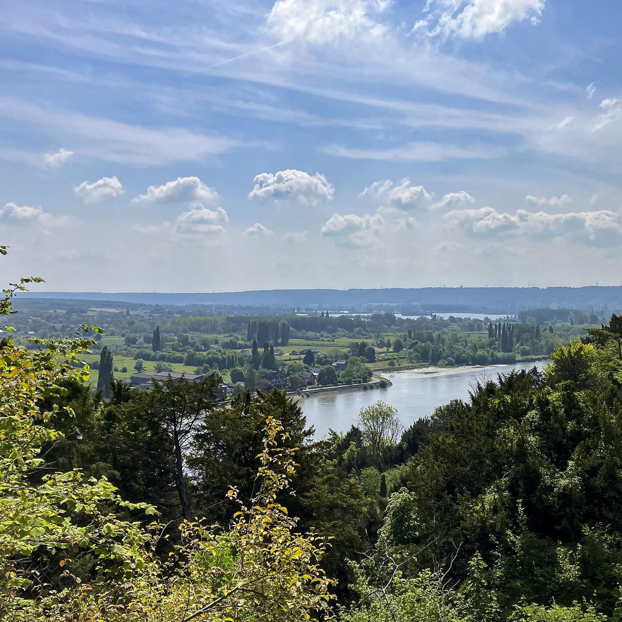
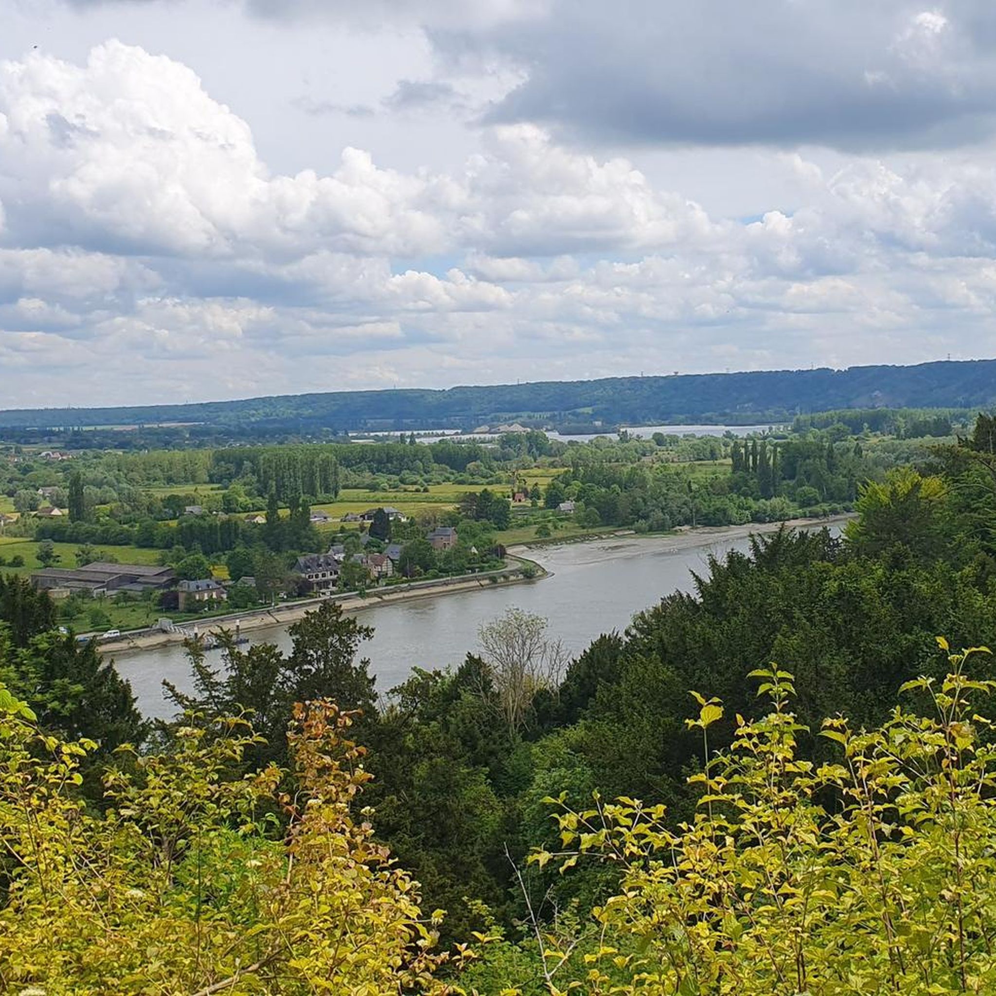
Road cycling around Forêt domaniale de Brotonne offers diverse landscapes within the Parc naturel régional des boucles de la Seine normande. The region is characterized by extensive high forests, notably beech and oak, interspersed with picturesque ponds. Routes often follow the meanders of the Seine river, providing flatter sections, while inland forest paths present varying elevations.
Best road cycling routes around Forêt domaniale de Brotonne
- The most popular road cycling route is Small tour of the Boucles de la Seine…
Last updated: October 11, 2026
3
riders
Easy road ride. Great for any fitness level. Mostly well-paved surfaces and easy to ride.
3.0
(1)
13
riders
Moderate road ride. Good fitness required. Some segments of this route may be unpaved and difficult to ride.

8
riders
Easy road ride. Great for any fitness level. Mostly well-paved surfaces and easy to ride.
8
riders
Moderate road ride. Great for any fitness level. Some segments of this route may be unpaved and difficult to ride.
5.0
(1)
6
riders
17.9km
00:47
90m
80m
Easy road ride. Great for any fitness level. Mostly well-paved surfaces and easy to ride.
Get access to more routes and recommendations from other explorers.
Already have an account?
Our route recommendations are based on thousands of hikes, rides, and runs completed by other people on komoot.
Start today with a free account
Your next adventure awaits.


Tips from the Community

The 3 bridges between Le Havre and Rouen (Normandy, Tancarville and Brotonne (the latter quite dangerous for bicycles) are very high because they have to allow passage of large tonnage boats intended to supply Paris, the Seine being an important component. These boats are then unloaded in Rouen onto smaller tonnage boats which go to Paris. This system of ferries, surprisingly free, is therefore there to compensate for this lack of possible crossings. Do not hesitate to use them, it is really a very nice plus.
0
0

To avoid the extremely high bridges over the Seine, we chose the ferry. We enjoyed the crossing – completely uncomplicated and pleasant. I took photos of the departure times.
1
0

Very beautiful patch of forest, very little traffic. Generally decent road, with potholes in places.
0
0

There is a drop in this forest!
0
0

Située au Nord-Ouest de la Forêt de Brotonne, la Mare Tonne est l’une des plus importantes de ce vaste massif forestier. Elle est implantée sur un substrat acide (sables et cailloutis de silex). Vraisemblablement d’origine anthropique, elle est l’une des seules du Nord de la forêt, où les sols sablo-caillouteux (et le sous-sol crayeux filtrant) ne sont pas favorables à la permanence de milieux aquatiques. En son centre s’étend un îlot tourbeux tremblant, formé de radeaux flottants de sphaignes (alliance de l’Utricularion intermedio-minoris) et de Laîches dont la Laîche vésiculeuse (Carex vesicaria). Le cœur de l’îlot est en voie d’atterrissement : des bouleaux et des saules s’y développent progressivement. Cette mare oligotrophe abrite en particulier d’importantes formations à Potamot à feuilles de Renouée (Potamogeton polygonifolius) typique des eaux acides et surtout à Potamot nageant (Potamogeton natans ; groupement du Potametum natantis), des herbiers à Utriculaires (Utricularia australis, U. vulgaris), des voiles de Lemnacées (Lemna minor, Lemna trisulca, etc.). Les habitats et les espèces oligotrophes (Potamogeton polygonifolius, Utricularia pls. sp, etc.) sont particulièrement rares et menacés en Haute Normandie. Sur les berges de l’îlot central, la formation de radeaux de sphaignes est encore active et participe, avec l’extension des cariçaies et glycériaies, à la formation de la tourbe. Plusieurs espèces de sphaignes ont été identifiées : Sphagnum palustre et S. fimbriatum. Plusieurs espèces très rares à assez rares sont présentes en bordure, comme la Laîche vésiculeuse (Carex vesicaria), le Rubanier simple (Sparganium emersum), la Prêle des bourbiers (Equisetum fluviatile), le Saule cendré (Salix cinerea), etc. Le maintien de la Stellaire des marais (Stellaria palustris), exceptionnelle en Haute-Normandie, de la Morrène aquatique (Hydrocharis morsus-ranae), très rare, de l’Utriculaire naine (Utricularia minor) et de l’Hottonie des marais (Hottonia palustris), protégée, mériterait une confirmation (espèces citées dans les années 1980). La faune associée à cette mare comprend plusieurs éléments remarquables. En particulier, cette mare joue un rôle essentiel pour la conservation des populations de batraciens et d’odonates. On note ainsi la présence des quatre espèces de Tritons (Tritons palmé, ponctué, alpestre et crêté) et de la Salamandre tachetée (Salamandra salamandra). Les odonates sont encore assez peu connus, mais quelques espèces rares et menacées pourraient s’y reproduire. A l’heure actuelle, une dizaine d’espèces communes à peu communes ont été notées. Chez les reptiles, le Lézard vivipare (Lacerta vivipara) est régulièrement observé aux abords. Aux alentours, les parcelles de feuillus (et de quelques pins) accueillent le Pic mar (Dendrocopos medius) et le Pic noir (Dryocopus martius), tous deux inscrits à l’annexe I de la directive Oiseaux.
3
0
Estimated to be over a thousand years old. The two common yews grow in the center of La Haye-de-Routot, in the Eure, in the cemetery of the Notre-Dame church. They exceed 10 m in circumference. At their base, the trunks of the two yews are hollow and each house a small religious sanctuary. The easternmost yew has a chapel dedicated to Saint Anne. The one further west houses an oratory dedicated to Notre-Dame-de-Lourdes.
2
0
Frequently Asked Questions
How many road cycling routes are available in Forêt domaniale de Brotonne?
There are over 280 road cycling routes available in Forêt domaniale de Brotonne, offering a wide range of options for different skill levels and preferences. You'll find everything from easy riverside paths to more challenging routes with significant elevation changes within the forest.
What kind of terrain can I expect when road cycling in Forêt domaniale de Brotonne?
The terrain in Forêt domaniale de Brotonne is quite varied. You can expect routes that follow the meanders of the Seine river, offering flatter sections, as well as paths within the extensive high forests that present varying elevations and gentle hills. The region is known for its diverse landscapes, from tranquil ponds to panoramic viewpoints over the Seine valley.
Are there any easy road cycling routes suitable for beginners or families?
Yes, Forêt domaniale de Brotonne offers several easy road cycling routes. For example, the Small tour of the Boucles de la Seine — Parc naturel régional des Boucles de la Seine Normande is an easy 19.3-mile (31.0 km) route that explores the scenic regional park, perfect for a relaxed ride.
What are some challenging road cycling routes for experienced riders?
For experienced riders seeking a challenge, the Pont-Audemer – Pont de Brotonne loop from Aizier is a difficult 75.1-mile (120.8 km) path featuring significant elevation gain. This route connects key points across the region and will test your endurance.
What natural features or landmarks can I see along the road cycling routes?
The forest is rich in natural beauty and historical elements. You can encounter picturesque ponds, vast beech and oak forests, and even the ancient 'chêne cuve' (Cuve oak), a remarkable 380-year-old tree. Keep an eye out for 17th and 18th-century stone forest markers along the paths. For specific points of interest, consider visiting the Orientation table and view of the Seine valley for stunning panoramas.
Are there any scenic viewpoints accessible by road bike in the area?
Yes, several points within and around the forest offer remarkable viewpoints over the Seine valley. A notable panorama can be found at La Mailleraye-sur-Seine, and the Orientation table and view of the Seine valley is a highly recommended spot for breathtaking views.
What is the best time of year for road cycling in Forêt domaniale de Brotonne?
The Forêt domaniale de Brotonne is beautiful throughout the year, but spring and autumn generally offer the most pleasant conditions for road cycling. Spring brings lush greenery and blooming flora, while autumn showcases vibrant foliage. Summer can be warm, but the forest provides ample shade. Winter cycling is possible, but be prepared for cooler temperatures and potentially wet conditions.
Are there any loop routes available for road cyclists?
Yes, many road cycling routes in Forêt domaniale de Brotonne are designed as loops. An example is the Pont de Brotonne – Route des chaumières loop from Le Trait, a 44.6-mile (71.7 km) trail that takes you through the picturesque Route des chaumières.
What do other road cyclists enjoy most about cycling in Forêt domaniale de Brotonne?
The area is highly rated by the komoot community, with an average score of 4.2 stars from over 90 reviews. Reviewers often praise the diverse landscapes, the tranquility of the dense woodlands, and the scenic riverside paths along the Seine. The variety of routes catering to different ability levels is also frequently highlighted.
Is there public transport access to the road cycling trails in Forêt domaniale de Brotonne?
While specific public transport links directly to trailheads might be limited, the forest is located within a meander of the Seine, west of Rouen, and is accessible by the Pont de Brotonne. It's advisable to check local bus or train services to nearby towns like Le Trait or Notre-Dame-de-Bliquetuit and plan your route from there.
Where can I find parking for road cycling trails in Forêt domaniale de Brotonne?
Parking is generally available at various entry points and villages surrounding the Forêt domaniale de Brotonne. Many routes start from towns like Aizier, Le Trait, or Notre-Dame-de-Bliquetuit, where you can typically find designated parking areas. Always check local signage for specific parking regulations.
Are there any specific attractions or points of interest near the cycling routes?
Beyond the forest itself, you can explore nearby attractions such as the Heurteauville–Jumièges Ferry, which offers a unique crossing experience, or visit the historic Saint-Maur Chapel. The region also features the scenic The Monks' Path, which can be incorporated into your ride.
Most popular routes around Forêt domaniale de Brotonne
Most popular attractions around Forêt domaniale de Brotonne

Get inspired with the komoot mobile app


Explore more
Browse the best Road cycling routes in other regions.
