The best walks and hikes around Schweibergerbosch
4.5
(37961)
149,025
hikers
1,853
hikes
Hiking around Schweibergerbosch offers a diverse landscape characterized by rolling hills, river valleys, and dense forests within the Limburg region. The area features notable elevations like the Eyser Heuvelrug and viewpoints such as Doeveberg, providing varied terrain for outdoor activities. Trails often follow the Geul River and pass through vineyards, showcasing the region's natural and cultivated features. This geographical setting provides a range of hiking experiences, from gentle riverside paths to more challenging ascents.
Best hiking trails around Schweibergerbosch
- The…
Last updated: August 14, 2026
4.7
(172)
715
hikers
8.02km
02:06
60m
60m
Moderate hike. Good fitness required. Easily-accessible paths. Suitable for all skill levels.
4.8
(297)
883
hikers
9.92km
02:43
160m
160m
Moderate hike. Good fitness required. Easily-accessible paths. Suitable for all skill levels.

Sign up for free
4.8
(67)
216
hikers
16.8km
04:36
260m
260m
Moderate hike. Good fitness required. Easily-accessible paths. Suitable for all skill levels.
4.8
(83)
278
hikers
5.73km
01:33
80m
80m
Easy hike. Great for any fitness level. Easily-accessible paths. Suitable for all skill levels.
4.6
(38)
211
hikers
14.2km
03:55
250m
250m
Moderate hike. Good fitness required. Easily-accessible paths. Suitable for all skill levels.
Get access to more routes and recommendations from other explorers.
Sign up for free
Already have an account?
Our route recommendations are based on thousands of hikes, rides, and runs completed by other people on komoot.
Start today with a free account
Your next adventure awaits.
Login or Signup

Tips from the Community


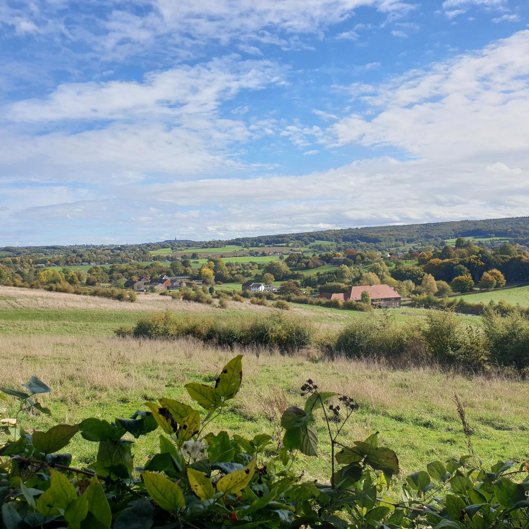
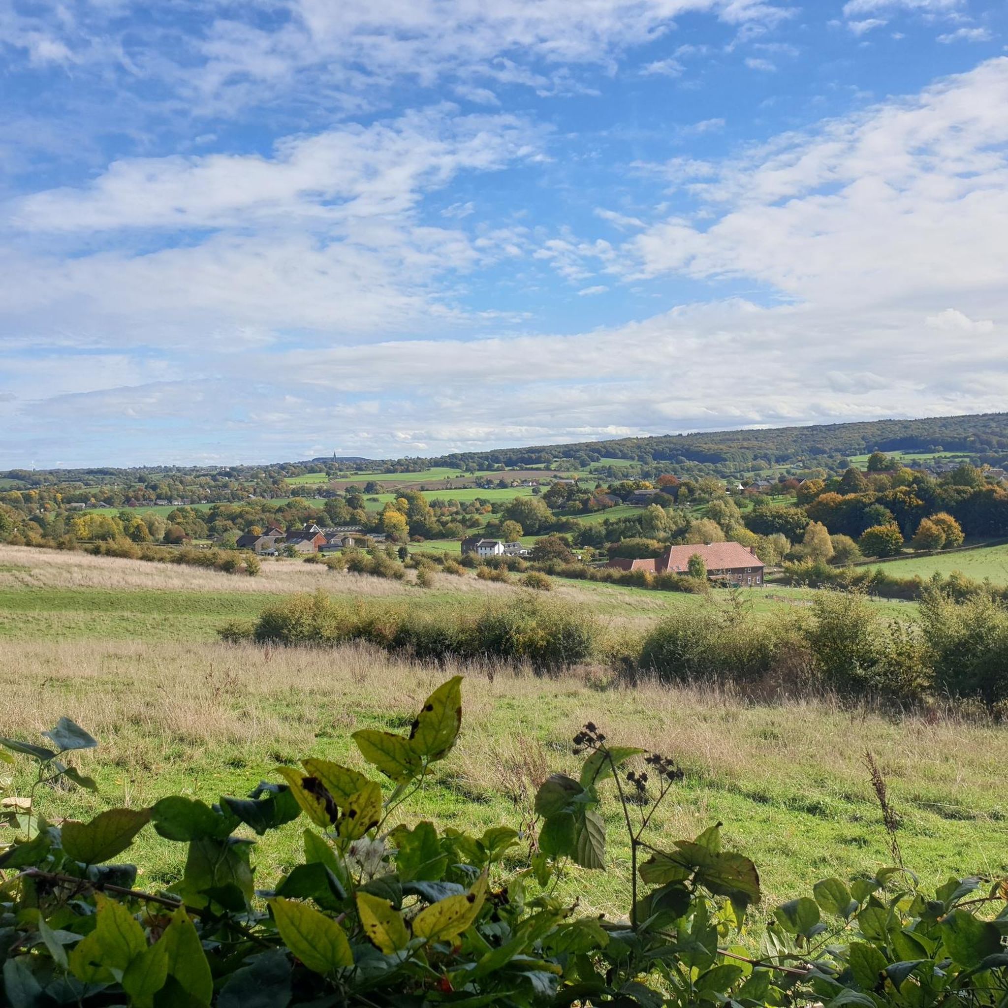
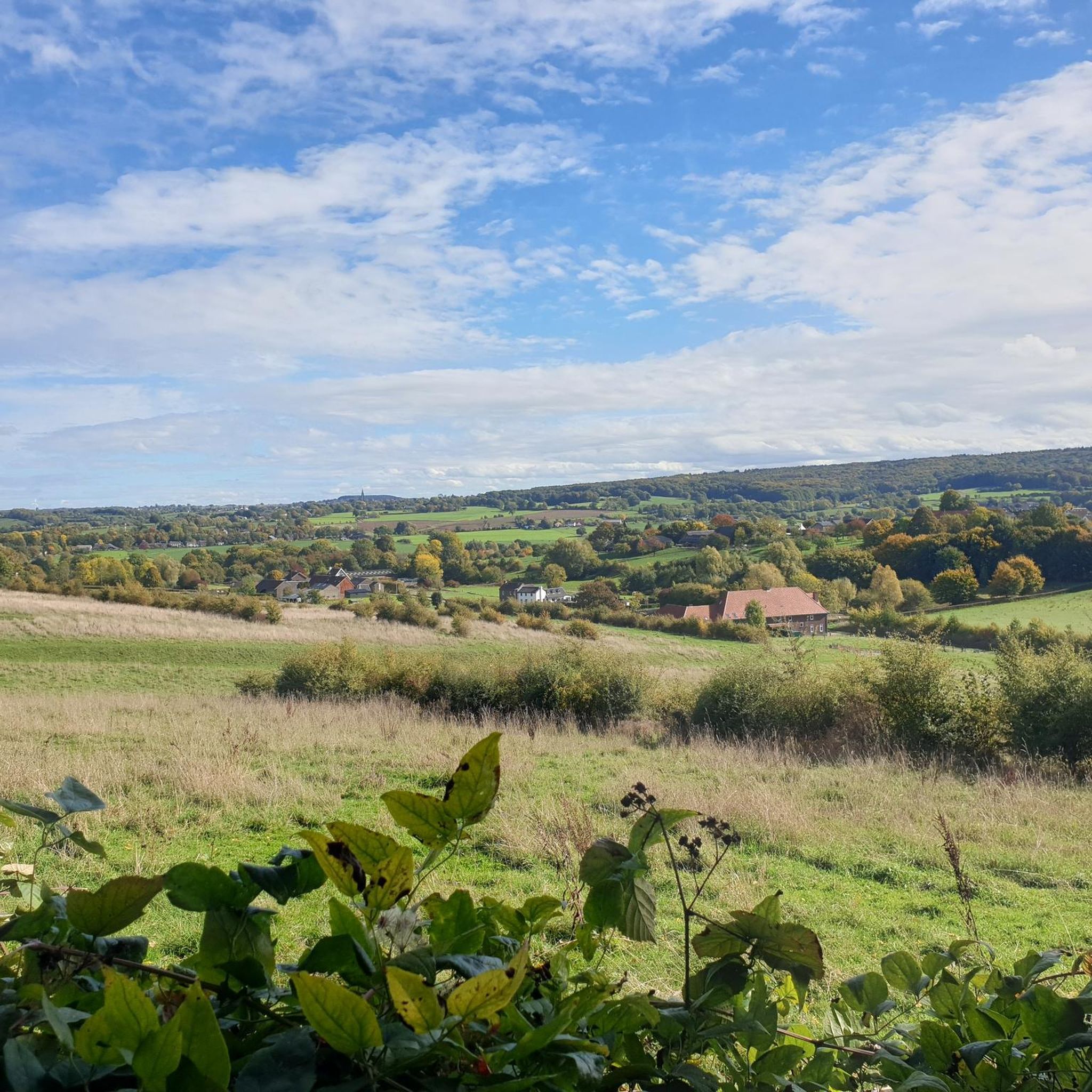
A very beautiful path with hedges typical of the region and a view of the "Tuscany of Limburg." The "Tuscany of Limburg" is a collection of trees (poplars) which, from a distance, resemble a typical Tuscan landscape.
0
0

From this point, a magnificent panorama opens up over the valley, where fields, forests, and small villages blend harmoniously into the landscape. The view changes with each season: fresh green in spring, warm and golden in autumn, and always equally impressive.
0
0

See the story https://beleefmechelen.nl/vliegtuigen/
1
0
The full story can be found here: https://beleefmechelen.nl/vliegtuigen/
3
0
Beautiful panoramic view over the Limburg landscape.
3
0
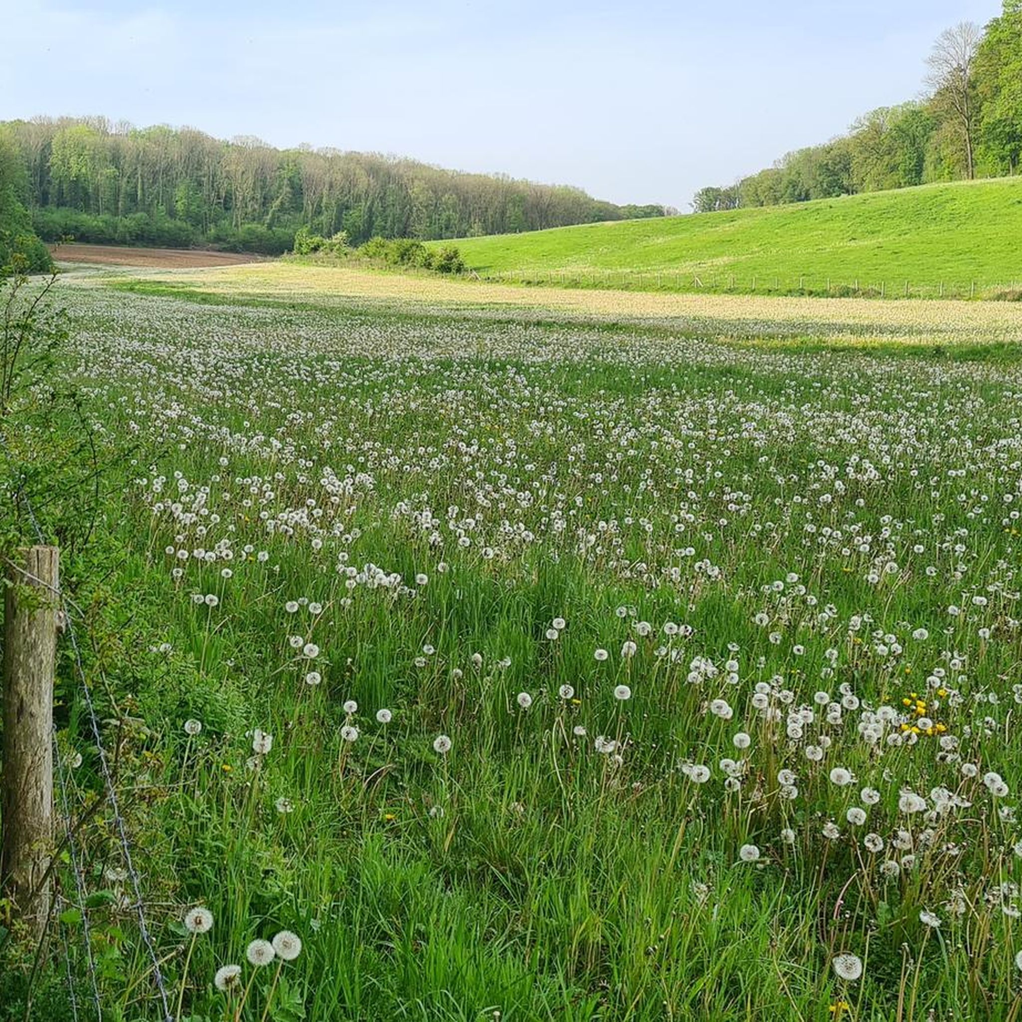
The Geul is a river in southern Limburg, the Netherlands. It is one of the few fast-flowing streams/rivers in the Netherlands and has a unique character due to the hilly landscape through which it flows.
2
0
The Geul is a river in southern Limburg, the Netherlands. It is one of the few fast-flowing streams/rivers in the Netherlands and has a unique character due to the hilly landscape through which it flows.
2
0
Frequently Asked Questions
How many hiking trails are there in Schweibergerbosch?
Schweibergerbosch offers a vast network of over 1,800 hiking trails. This includes more than 970 easy routes, 780 moderate routes, and 70 more challenging options, ensuring there's a suitable path for every hiker.
Are there easy hiking trails suitable for beginners or families in Schweibergerbosch?
Yes, Schweibergerbosch is very welcoming for beginners and families, with over 970 easy routes. A great option is The Mediterranean Eyser Heuvelrug – Bench with a view loop from Gulpen, an easy 3.6-mile (5.7 km) path that offers panoramic views from a scenic bench.
What are some of the best viewpoints to discover while hiking in Schweibergerbosch?
The region is known for its scenic vistas. You can find stunning views from The Mediterranean Eyser Heuvelrug and the View of the Limburg Hills. Many routes, like the Doeveberg Viewpoint – Wittemer Wijngaard Vineyard loop from Gulpen, specifically lead to prominent viewpoints such as Doeveberg, offering expansive panoramas of the rolling landscape.
Are there any circular hiking routes in Schweibergerbosch?
Many of the trails in Schweibergerbosch are designed as convenient circular routes. For example, the popular Geul River – Epen Fulling Mill loop from Mechelen is a 4.8-mile (7.7 km) circular trail that follows the Geul River. Another great option is View of the Limburg Hills – Meadows Along the Geul loop from Mechelen, which offers diverse scenery on a loop.
What is the typical length and duration of hikes in Schweibergerbosch?
Hikes in Schweibergerbosch vary widely in length and duration. You can find shorter paths like The Mediterranean Eyser Heuvelrug – Bench with a view loop from Gulpen, which is 3.6 miles (5.7 km) and takes about 1 hour 30 minutes. Longer routes, such as the Doeveberg Viewpoint – Wittemer Wijngaard Vineyard loop from Gulpen, cover 8.9 miles (14.4 km) and can take around 4 hours to complete.
What kind of landscape can I expect to see on a hike in Schweibergerbosch?
Hiking in Schweibergerbosch offers a diverse landscape of rolling hills, picturesque river valleys, and dense forests. You'll encounter notable elevations like the Eyser Heuvelrug, follow the meandering Geul River, and pass through charming vineyards, showcasing the region's natural beauty and cultivated features.
Can I bring my dog on the hiking trails in Schweibergerbosch?
While specific regulations for dogs can vary, many trails in the Limburg region are generally dog-friendly, especially if dogs are kept on a leash. It's always a good idea to check local signage or specific route details on komoot for any restrictions before heading out with your furry friend.
Are there challenging hikes available for experienced hikers in Schweibergerbosch?
Yes, for those seeking a more strenuous experience, Schweibergerbosch offers about 70 difficult routes. These trails often feature greater elevation changes and longer distances, providing a good challenge for experienced hikers. The Doeveberg Viewpoint – Wittemer Wijngaard Vineyard loop from Gulpen, for instance, involves over 260 meters of elevation gain.
What do other hikers say about the trails in Schweibergerbosch?
The hiking trails in Schweibergerbosch are highly rated by the komoot community, boasting an impressive average score of 4.5 stars from over 33,000 reviews. Hikers frequently praise the varied terrain, the beautiful views from points like Bench with a view, and the well-maintained paths that wind through forests, hills, and along the river.
Are there places to eat or rest near the hiking trails in Schweibergerbosch?
Yes, the region offers various spots to refuel and relax. Many routes pass through or near charming villages like Mechelen and Gulpen, where you can find cafes and restaurants. Additionally, you'll often discover designated rest spots along the trails, such as the Rest spot with medals, perfect for a break.
How can I reach the hiking trails in Schweibergerbosch using public transport?
The towns surrounding Schweibergerbosch, such as Mechelen and Gulpen, are generally accessible by local bus services within the Limburg region. From these towns, many trailheads are within walking distance. It's advisable to check local public transport schedules for the most up-to-date information on routes and timings to plan your journey effectively.
Where can I park my car when visiting Schweibergerbosch for a hike?
Parking is typically available in the nearby towns and villages that serve as starting points for many hikes, such as Mechelen and Gulpen. Look for designated public parking areas, often near town centers or popular trailheads. Some specific routes might also have small parking lots at their starting points.
Most popular routes around Schweibergerbosch
Most popular attractions around Schweibergerbosch

Get inspired with the komoot mobile app


Explore more
Browse the best Hikes in other regions.
