The best walks and hikes around Westfield
4.8
(3)
257
hikers
49
hikes
Hiking trails around Westfield, Indiana, offer a network of paths primarily through parklands and along waterways. The terrain is generally flat, with minimal elevation gain, making it suitable for easy walks. These routes often feature paved and unpaved sections, passing through open fields and wooded areas. The region provides accessible green spaces for outdoor activity, characterized by lush landscapes and interconnected trail systems.
Best hiking trails in Westfield
- The most popular hiking route is Macgregor Park Loop, a 1.7…
Last updated: October 11, 2026
1
hikers
9.47km
02:24
10m
30m
Hike the Monon Trail, a 5.9-mile (9.5 km) route from Westfield to Carmel, offering diverse scenery and easy access.
3.68km
00:56
10m
20m
The Midland Trace Trail offers an easy hiking experience on a paved path, perfect for a quick outing. You will cover 2.3 miles (3.7 km) with a minimal elevation gain…

14
hikers
2.73km
00:42
10m
10m
Embark on an easy hike along the Macgregor Park Loop, a tranquil path winding through a peaceful forest environment. You will cover 1.7 miles (2.7 km) with a gentle elevation…
1
hikers
6.01km
01:32
20m
20m
Embark on an easy hike along the Meadowlark Park loop via Monon Trail, a 3.7-mile (6.0 km) journey with a gentle 57 feet (17 metres) of elevation gain. This route…
18
hikers
Easy hike. Great for any fitness level. Easily-accessible paths. Suitable for all skill levels.
Get access to more routes and recommendations from other explorers.
Already have an account?
Our route recommendations are based on thousands of hikes, rides, and runs completed by other people on komoot.
Start today with a free account
Your next adventure awaits.
Popular around Westfield
Tips from the Community

There is a nice parking lot here with restrooms and access to the Monon Trail, a paved multi-use path which runs north to Westfield and south into Indianapolis. The trail is shaded near this section.
0
0

Macgregor Park is a 96-acre nature preserve. There are 2 picnic shelters, wildflower prairies and restrooms. There are several hiking and running trails to choose from to see the beautiful flowers and trees in the park.
1
0
Meadowlark Park is a popular park in Carmel. It has several miles of trail, a kid's playground and restrooms.
0
0

Segment of the Monon Trail that runs through the Carmel City Center. Highlights include City Hall, Civic Square and the Veterans Memorial Freedom Park. There are also restaurants and pubs along the route.
0
0
Segment of the Monon Trail that runs through the Carmel City Center. Highlights include City Hall, Civic Square and the Veterans Memorial Freedom Park. There are also restaurants and pubs along the route.
0
0
Frequently Asked Questions
How many hiking trails are available around Westfield?
There are over 20 hiking trails around Westfield, offering a variety of options for outdoor enthusiasts. Most of these routes are considered easy, with a few moderate options available.
What kind of terrain can I expect on hikes in Westfield?
Hiking trails around Westfield primarily feature parklands and paths along waterways. The terrain is generally flat with minimal elevation gain, making it suitable for easy walks. You'll find a mix of paved and unpaved sections, often passing through open fields and wooded areas.
Are there any family-friendly hiking options in Westfield?
Yes, many trails in Westfield are suitable for families due to their easy difficulty and gentle terrain. Routes like Macgregor Park loop — Hamilton County and Carmel Central Park loop — Hamilton County are popular choices, offering pleasant walks through park settings.
What do other hikers enjoy most about trails in Westfield?
The hiking routes in Westfield are highly rated by the komoot community, with an average score of 4.75 stars. Hikers often praise the accessible park trails, open fields, and wooded sections, noting them as ideal for easy and moderate ability levels.
Are there any circular walks available in Westfield?
Yes, many of the trails around Westfield are designed as loops, perfect for circular walks. Examples include the Macgregor Park loop — Hamilton County and the Coxhall Gardens & West Park loop — Carmel, which offer pleasant experiences through parkland and landscaped gardens.
What are some notable places to explore near the hiking trails?
While hiking, you can explore several interesting spots nearby. Consider visiting Nickel Plate District, Carmel Central Park, or Midtown Plaza Carmel. These areas offer additional attractions and amenities close to the trails.
Are there any lakes or water features to see on the hikes?
Yes, some routes pass by or are near water features. For instance, Carmel Central Park features water elements, and you can find Morse Park and Beach and the Morse Reservoir Dam in the wider area, offering scenic views and recreational opportunities.
What is the longest hiking trail around Westfield?
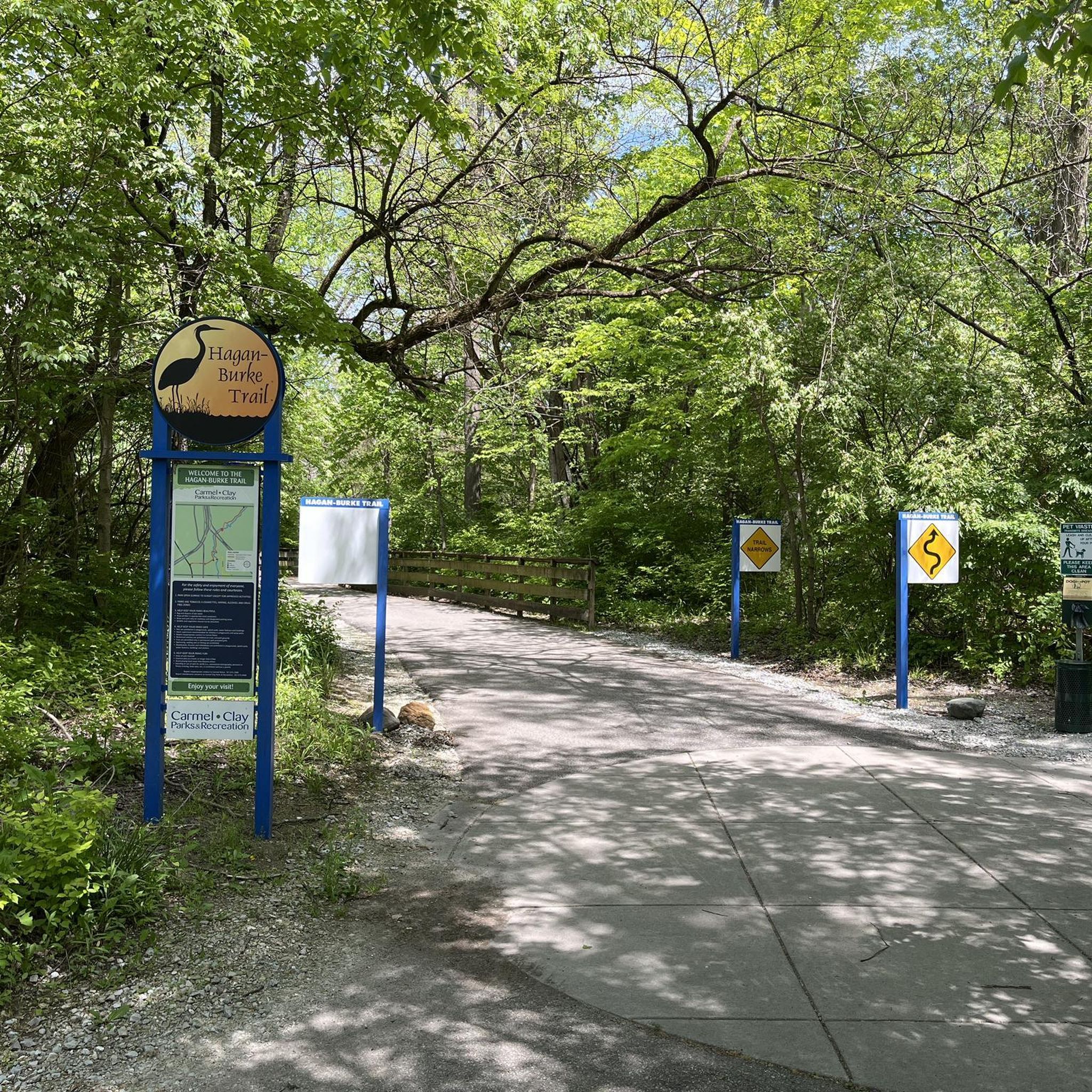
One of the longer routes available is the Hagan-Burke Trail via Monon Trail — Carmel, which spans over 6 miles (10 km) and is classified as moderate difficulty.
Are there any trails that connect to longer routes or greenways?
Yes, some trails in the area connect to larger networks. For example, the Hagan-Burke Trail utilizes sections of the Monon Trail, which is a well-known greenway offering extended walking and cycling opportunities.
What are the typical durations for hikes in Westfield?
Most easy hikes around Westfield can be completed within 1 to 2 hours. For example, the Macgregor Park loop takes about 42 minutes, while the Coxhall Gardens & West Park loop typically takes around 1 hour 11 minutes.
Are there any trails with significant elevation gain for a more challenging hike?
The trails around Westfield are generally characterized by minimal elevation gain, making them mostly easy to moderate. While there are no difficult routes with significant climbs, the moderate trails offer slightly more varied terrain and longer distances for a more extended workout.
Can I find trails that are suitable for a quick walk?
Absolutely. Many of the routes are relatively short and perfect for a quick stroll. The Macgregor Park loop — Hamilton County, at 1.7 miles (2.7 km), is an excellent option for a shorter, easy walk.
Most popular attractions around Westfield

Get inspired with the komoot mobile app


Explore more
Browse the best Hikes in other regions.
