The best walks and hikes around Jeffersonville
4.5
(5)
359
hikers
41
hikes
Hiking around Jeffersonville is characterized by its location along the Ohio River, offering level riverfront greenways and urban parks. The landscape includes accessible routes through paved paths and green spaces. For varied terrain, nearby state parks feature forested areas with moderate elevation changes and unique geological formations. The region also presents 390-million-year-old fossil beds at Falls of the Ohio State Park.
Best hiking trails around Jeffersonville
- The most popular hiking route is Big 4 Walking Bridge, a 1.3 miles…
Last updated: October 11, 2026
28
hikers
2.04km
00:31
0m
0m
Step onto the Big 4 Walking Bridge for a truly unique urban adventure, where you'll traverse the Ohio River on a converted railroad bridge. The paved path offers expansive, unobstructed…
4
hikers
2.88km
00:45
20m
20m
The Chapel Lake Loop offers a delightful, easy hike through a diverse landscape within Michigan's Pictured Rocks National Lakeshore. This 1.8-mile (2.9 km) route, with a minimal 74 feet (23…

2
hikers
3.58km
00:55
10m
10m
Hike the easy 2.2-mile Clarksville Discovery Trail Loop, a paved path offering scenic views, historical railway remnants, and wildlife.
589m
00:09
0m
0m
Hike the easy 0.4-mile Flatwoods Trail in Clarksville, Indiana, through hardwood forests and open fields with creek crossings.
5.07km
01:17
10m
10m
Easy 3.1-mile hike through Louisville Waterfront Park, offering urban views and connections to the larger Louisville Loop system.
Get access to more routes and recommendations from other explorers.
Already have an account?
Our route recommendations are based on thousands of hikes, rides, and runs completed by other people on komoot.
Start today with a free account
Your next adventure awaits.


Tips from the Community

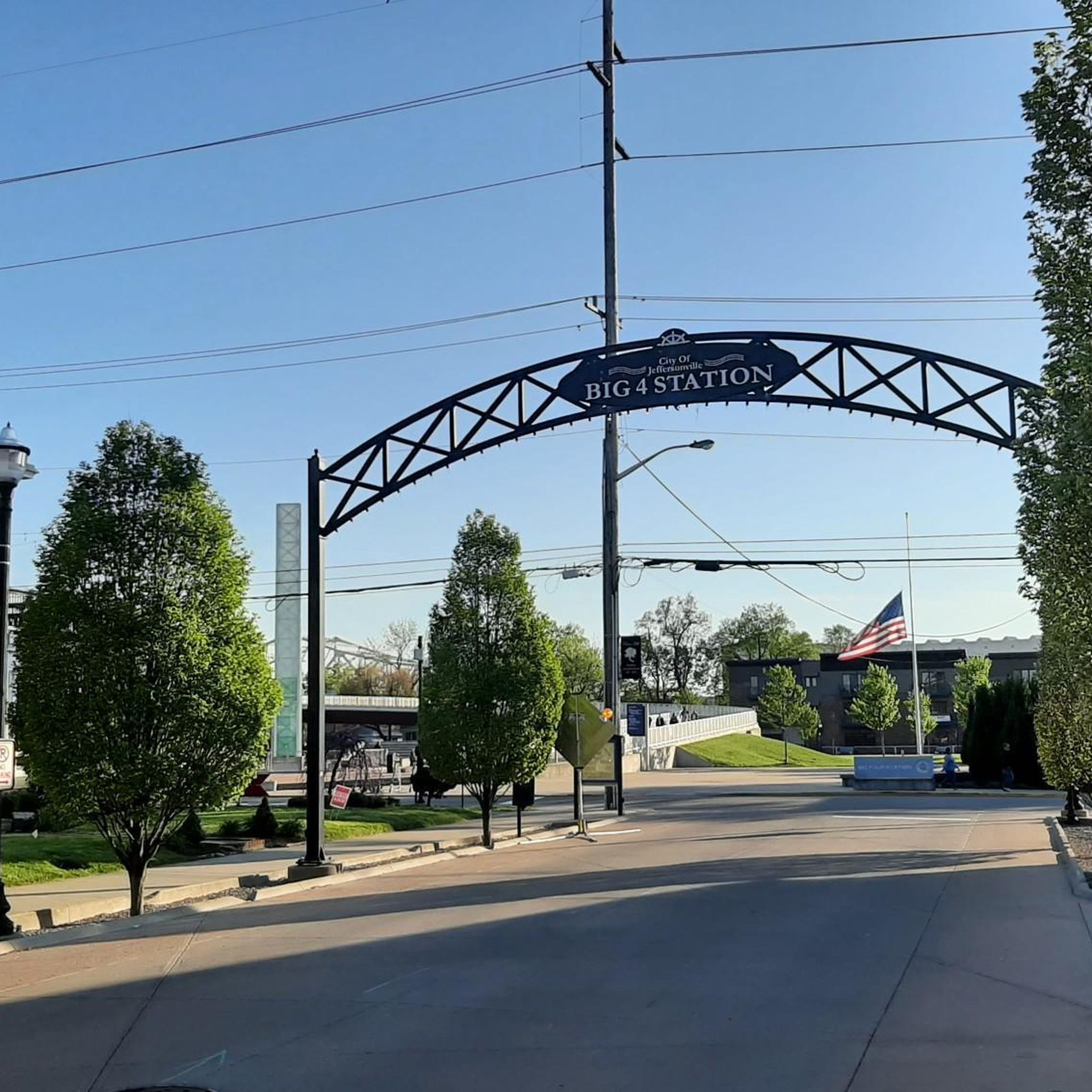
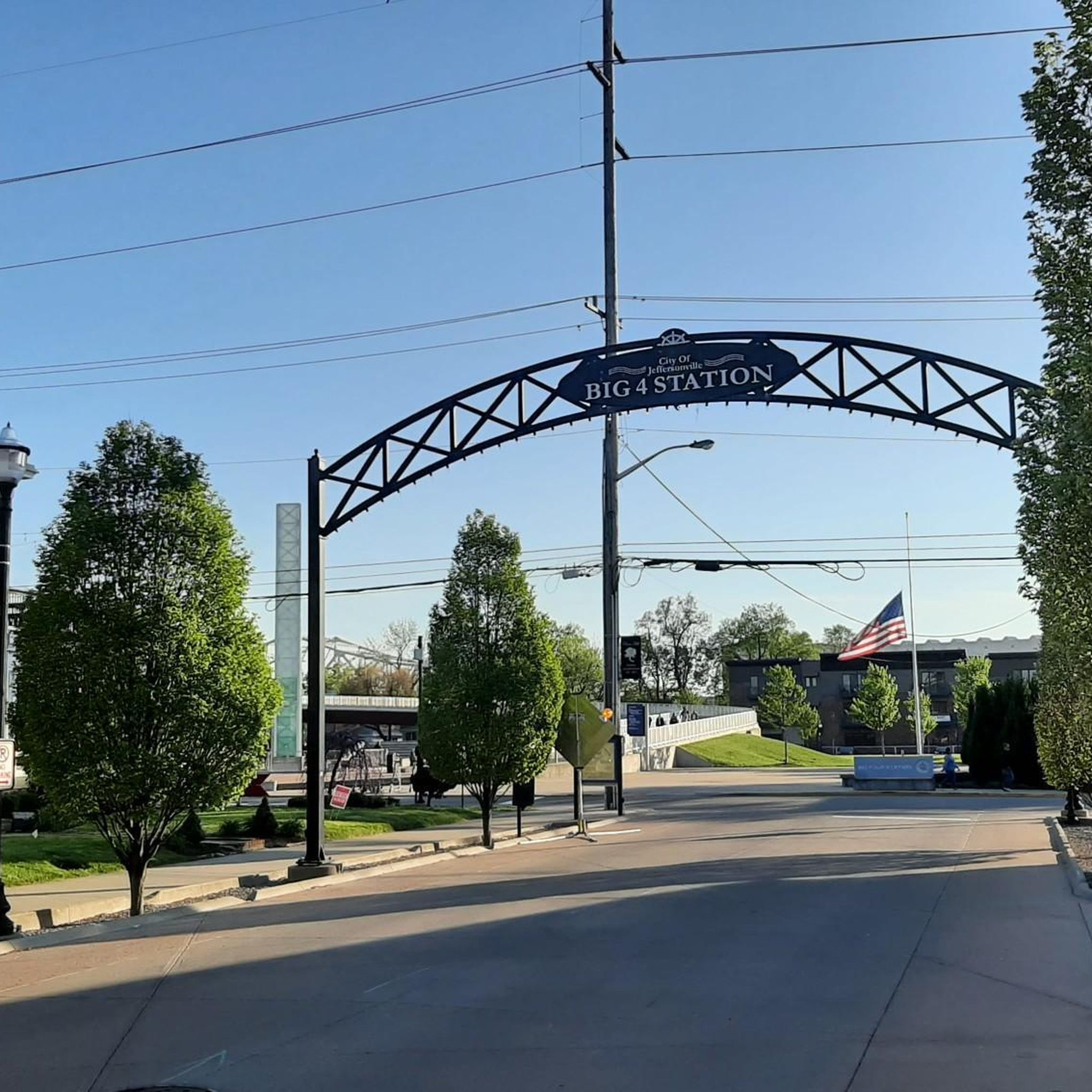
Waterfront Park is an attractive riverside park with benches, picnic areas, open areas, and paved walking/biking paths. You get great views over the river and of the Big Four Bridge, a pedestrian/ cycling bridge which spans the Ohio River, connecting Louisville, Kentucky, and Jeffersonville, Indiana.
0
0

The Big Four Bridge, originally completed in 1895 as a railroad bridge, now connects Louisville, Kentucky, and Jeffersonville, Indiana, for pedestrians and cyclists. After closing for rail use in the sixties, the bridge reopened in 2013 with ramps for walkers and bikers. Spanning 2,525 feet, the bridge offers a two-mile roundtrip, including the ramps. It attracts an average of 1.5 million visitors annually, making it a key recreational link between the two cities. There are bike rental places close by to the bridge too.
1
0

Waterfront Park is an 85 acre public park on the banks of the Ohio River. The green space sits on what was scrap yards and abandoned industrial buildings.
0
0


Don't pass up the Lewis and Clark Cabins on the Ohio River Greenway. If you have binoculars you can look across the river and see the hawks nesting.
0
0

Large park on the Ohio River, in several phases since about 2000 created on former industrial areas. Generous and very popular. https://ourwaterfront.org/
2
0
Frequently Asked Questions
Are there any easy, family-friendly hikes in the Jeffersonville area?
Yes, the region is well-suited for family outings. Many trails are paved and level, particularly along the river. For a pleasant walk with a playground and picnic spots, consider Perrin Family Park, which features a paved walking trail. Another great option is the Waterfront Park loop — Louisville, which offers wide paths and great views of the Ohio River.
Can I take my dog on the hiking trails around Jeffersonville?
Many parks and trails in the area are dog-friendly, but it's always best to keep your dog on a leash and check specific park regulations. The Ohio River Greenway is a popular spot for walking with dogs. For a route that specifically includes an off-leash area, check out the Waterfront Park & Louisville Champions Dog Park Path loop.
Are there any waterfall hikes near Jeffersonville?
Yes, for a hike that leads to a waterfall, visit the Nine Penny Branch State Nature Preserve. It's considered a local hidden gem and features a loop trail of about 2.3-2.5 miles. Keep in mind the waterfall's flow is best after recent rainfall.
Where can I find more rugged or challenging hiking trails?
While most trails immediately around Jeffersonville are easy to moderate, you can find more rugged terrain at nearby state parks. Charlestown State Park offers several trails with more significant elevation changes through forested landscapes. For a good example of the terrain, you can explore the Charlestown State Park loop from Charlestown.
What are some popular places for hiking around Jeffersonville?
Hikers in the area have several highly-regarded options:
- Charlestown State Park: A favorite for its scenic, rugged trails and views over Fourteenmile Creek.
- Falls of the Ohio State Park: Known for its unique landscape featuring ancient fossil beds right on the Ohio River, offering a very different kind of hiking experience.
- Ohio River Greenway: A popular and accessible paved trail that connects Jeffersonville with neighboring communities along the riverfront.
Are there circular hiking routes available?
Yes, many of the best routes are loops, allowing you to start and end in the same place without retracing your steps. For a classic parkland loop, the Cherokee Park Trail – Scenic Loop loop from Seneca Gardens is a great choice. You can also find several loop trails within Charlestown State Park, such as the easy Trail 3 loop.
What makes hiking in Jeffersonville unique?
The hiking experience is defined by its connection to the Ohio River. You'll find a mix of urban greenways with city skyline views, like the Ohio River Greenway, and natural trails in nearby state parks. A particularly unique feature is the ability to hike across ancient fossil beds at Falls of the Ohio State Park.
How many hiking trails are there around Jeffersonville?
There are over 30 hiking routes to explore around Jeffersonville. The selection ranges from easy, paved riverfront paths suitable for all fitness levels to more moderate, rugged trails in the surrounding state parks.
What do other hikers think of the trails in this area?
The routes around Jeffersonville are well-regarded by the komoot community, with an average rating of 4.3 out of 5 stars. Hikers often praise the scenic river views, the well-maintained paths in the parks, and the unique opportunity to explore the fossil beds at Falls of the Ohio State Park.
What kind of terrain should I expect on the trails?
The terrain varies depending on where you hike. Trails along the Ohio River Greenway are typically paved and flat. In parks like Charlestown State Park, expect more traditional hiking paths with some rugged sections, moderate hills, and a forest setting.
Is it easy to find parking at the trailheads?
Most of the established parks, such as Charlestown State Park and Falls of the Ohio State Park, have designated parking areas for visitors. Smaller nature preserves like Nine Penny Branch have more limited parking, so arriving earlier on weekends is a good idea. For urban trails like the Ohio River Greenway, you can find parking in various public lots and access points along the route.
Most popular attractions around Jeffersonville

Get inspired with the komoot mobile app


Explore more
Browse the best Hikes in other regions.
