The best road cycling routes around Rotenacker
4.4
(1139)
17,946
riders
341
rides
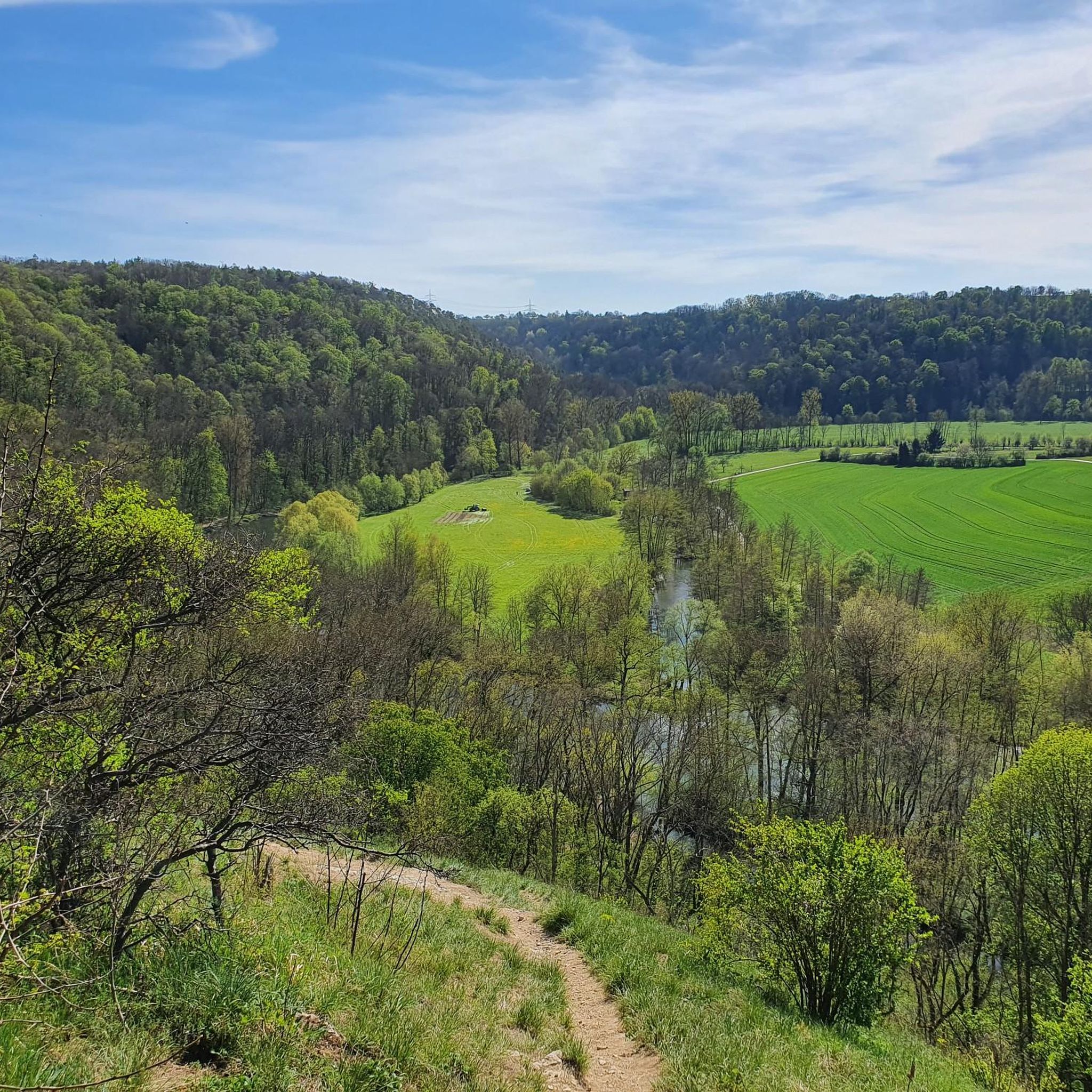
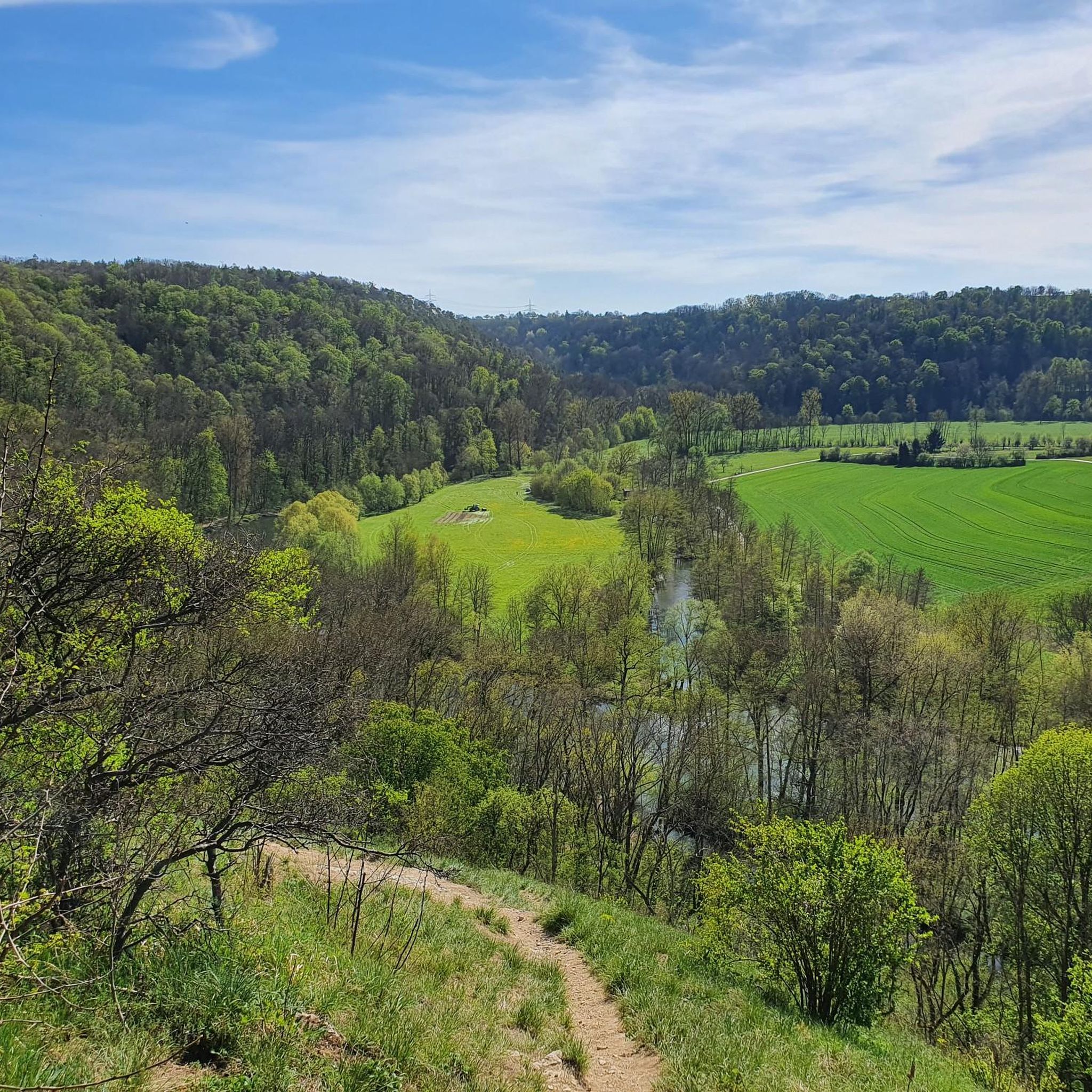
Road cycling routes around Rotenacker traverse a landscape characterized by rolling hills, lush meadows, and green forests, offering diverse terrain. The Danube River is a central natural feature, with parts of the Donauaue (Danube floodplains) providing flat sections. The nearby Swabian Alb contributes to varied topography, including valleys and some ascents. This region offers a mix of easy routes along the river and more challenging climbs through the hills.
Best road cycling routes around Rotenacker
- The most popular road cycling route is View of the Enz Valley – Bridge over the Enz loop from Markgröningen, a 24.9 miles (40.1 km) trail that takes 1 hour 47 minutes to complete. This moderate route offers views of the Enz Valley and crosses a notable bridge.
- Another top favourite among local road cyclists is Langwiesenweg – Bietigheim Viaduct loop from Unterriexingen, an easy 13.2 miles (21.2 km) path. This route features a loop around the Bietigheim Viaduct, offering scenic views of the surrounding area.
- Local road cyclists also love the Marktplatz Markgröningen – Celtic Museum Hochdorf loop from Markgröningen, a 15.8 miles (25.4 km) trail leading through historical areas, often completed in about 1 hour 19 minutes. This moderate route connects Markgröningen's market square with the Celtic Museum Hochdorf.
- Road cycling around Rotenacker is defined by river valleys, rolling hills, and forested sections. The network offers options for different ability levels, from gentle rides along the Danube to more strenuous ascents.
- The routes in Rotenacker are highly rated by the komoot community with an average score of 4.4 stars from over 600 reviews. More than 12,000 road cyclists have used komoot to explore Rotenacker's varied terrain.
Last updated: July 8, 2026
15
riders
39.4km
01:45
340m
340m
Moderate road ride. Good fitness required. Mostly well-paved surfaces and easy to ride.
4.8
(12)
140
riders
21.2km
01:00
130m
130m
Easy road ride. Great for any fitness level. Mostly well-paved surfaces and easy to ride.

Sign up for free
5.0
(2)
27
riders
25.4km
01:18
300m
300m
Moderate road ride. Good fitness required. Some segments of this route may be unpaved and difficult to ride.
3.0
(2)
18
riders
21.1km
01:03
200m
200m
Easy road ride. Great for any fitness level. Mostly well-paved surfaces and easy to ride.
3.3
(3)
15
riders
19.8km
00:54
210m
210m
Easy road ride. Great for any fitness level. Mostly well-paved surfaces and easy to ride.
Get access to more routes and recommendations from other explorers.
Sign up for free
Already have an account?
Our route recommendations are based on thousands of hikes, rides, and runs completed by other people on komoot.
Start today with a free account
Your next adventure awaits.
Login or Signup
Tips from the Community

On the right bank of the Enz, in front of the high Wobach rock face, about 300m upstream from the railway viaduct, there has been a walkable landscape model since the 1989 State Garden Show, featuring the rocks of the South German Scarpland. On a geological journey through time, one gains insights into the course of life on Earth, the origin and structure of the Scarpland, as well as the life world of the Muschelkalk sea.
3
0
Beautiful view of the Enz Viaduct, which was built as a railway viaduct between 1851 and 1853 as part of the Württemberg Westbahn Bietigheim–Bruchsal under the direction of construction councillor Karl Etzel.
2
0

Hidden behind overgrown bushes lies this rather large quarry. Truck access is from the bottom, near the Glems River. "Nothing's as precious as a hole in the ground" (Midnight Oil)
1
1
View of the Altsachsenheim castle ruins from the pedestrian and cycle path along the Enz river.
5
0
Good view from the pedestrian and cycle path along the Enz river of the Altsachsenheim castle ruins perched above the Enz riverbank.
4
0
Cyclist and pedestrian bridge over the Enz river with a beautiful view of the water.
4
0
Markgröningen's highest point. A water tower visible from afar, with a few pleasant benches and tables in front, perfect for picnics.
0
0

The Staufer stele has been relocated. It is now set off to the right of the church entrance. The Staufer stele is definitely worth a look. Since 2000, 38 Staufer steles have been erected in six European countries as part of a project unique in the world. The steles are located at sites related to the history of the Staufers, who were dukes, kings, and emperors in the High Middle Ages.
1
1
Frequently Asked Questions
How many road cycling routes are available around Rotenacker, and what are their difficulty levels?
There are over 300 road cycling routes around Rotenacker. You'll find a good mix, with 62 easy routes, 221 moderate routes, and 46 challenging options, catering to various skill levels across the region's diverse terrain.
Are there easy road cycling routes suitable for beginners or relaxed rides?
Yes, Rotenacker offers 62 easy road cycling routes. Many of these follow the Danube River, providing flat and scenic paths. An example is the Langwiesenweg – Bietigheim Viaduct loop from Unterriexingen, which is 13.2 miles (21.2 km) long and offers picturesque views.
What kind of terrain can I expect on road cycling routes near Rotenacker?
The terrain around Rotenacker is quite varied. You'll encounter rolling hills, lush meadows, and green forests. The Danube River provides flatter sections, while the nearby Swabian Alb contributes to more varied topography, including deep valleys and some strenuous ascents. This mix ensures engaging routes for all skill levels.
Are there any challenging road cycling routes for experienced riders?
Absolutely. For experienced riders seeking a challenge, there are 46 difficult road cycling routes around Rotenacker. These routes often venture into the Swabian Alb, featuring more significant climbs and descents, such as those found on the 'Berg Bier-Tour' or 'Tour de Alb – Bussenblick' mentioned in the region's cycling opportunities.
What natural features or landmarks can I see along the road cycling routes?
The routes around Rotenacker offer views of diverse natural features and historical landmarks. You can explore the Danube floodplains, the Weidachsee, and the Leudelsbach Valley, which includes a designated forest wilderness area. Notable viewpoints include the Enz Valley View (Enzblick). Historically, you might pass by the impressive baroque architecture of Obermarchtal monastery or Mochental Castle.
Are there any circular road cycling routes in the Rotenacker area?
Yes, many of the road cycling routes around Rotenacker are designed as loops, allowing you to start and end at the same point. For instance, the View of the Enz Valley – Bridge over the Enz loop from Markgröningen is a popular circular route, as is the Marktplatz Markgröningen – Celtic Museum Hochdorf loop from Markgröningen.
What is the best time of year for road cycling in Rotenacker?
The best time for road cycling in Rotenacker is generally from spring through autumn. During these seasons, the weather is typically mild, and the landscapes are at their most vibrant. The region's rolling hills and river valleys are particularly enjoyable when the foliage is green or changing colors.
Are there family-friendly road cycling options in Rotenacker?
Yes, the flatter sections along the Danube River are particularly suitable for families. These routes offer an easier ride with cultural highlights in historic town centers. While specific 'family-friendly' designations aren't always explicit for road cycling, the 62 easy routes provide excellent options for a relaxed family outing.
Where can I find parking for road cycling routes in Rotenacker?
Parking is generally available in and around the municipality of Rotenacker, especially near popular starting points for routes. Many routes, particularly those starting from towns like Markgröningen, will have designated parking areas. It's advisable to check specific route details on komoot for parking recommendations at the trailhead.
What do other road cyclists enjoy most about road cycling in Rotenacker?
The area is highly rated by the komoot community, with an average score of 4.4 stars from over 600 reviews. Road cyclists often praise the diverse terrain, from gentle rides along the Danube to more strenuous ascents in the hills, and the splendid river valleys and forested sections that define the region's routes.
Are there cafes or pubs along the road cycling routes for a break?
Yes, many road cycling routes in the Rotenacker region pass through or near charming villages and towns. These often offer opportunities to stop at local cafes, pubs, or restaurants. The Danube Cycle Path, for example, is known for cultural highlights in historic town centers where you can find refreshments.
Can I reach the road cycling routes using public transport?
Rotenacker is a municipality in the Alb-Donau district, and public transport connections are available. While direct access to every trailhead by public transport might vary, the region is generally accessible, especially to larger towns that serve as starting points for many routes. It's recommended to check local bus or train schedules for specific connections to your desired starting location.
Most popular routes around Rotenacker
Most popular attractions around Rotenacker

Get inspired with the komoot mobile app


Explore more
Browse the best Road cycling routes in other regions.
