The best road cycling routes around Muckenschupf
4.4
(510)
7,936
riders
244
rides
Road cycling routes around Muckenschupf traverse a landscape characterized by river valleys, such as the Enz, and rolling terrain. The area features a mix of forested sections, open fields, and dedicated cycle paths connecting small towns and villages. Road cyclists can expect routes that include viaducts and bridges, offering varied perspectives of the local topography.
Best road cycling routes around Muckenschupf
- The most popular road cycling route is Langwiesenweg – Bietigheim Viaduct loop from Unterriexingen, a 13.2 miles (21.2…
Last updated: July 8, 2026
4.8
(12)
140
riders
21.2km
01:00
130m
130m
Easy road ride. Great for any fitness level. Mostly well-paved surfaces and easy to ride.
7
riders
36.4km
02:06
290m
290m
Moderate road ride. Good fitness required. Some segments of this route may be unpaved and difficult to ride.

Sign up for free
4.0
(1)
7
riders
16.8km
00:45
150m
150m
Easy road ride. Great for any fitness level. Mostly well-paved surfaces and easy to ride.
11
riders
21.4km
00:56
190m
190m
Moderate road ride. Great for any fitness level. Some segments of this route may be unpaved and difficult to ride.
5
riders
15.0km
00:41
150m
140m
Easy road ride. Great for any fitness level. Mostly well-paved surfaces and easy to ride.
Get access to more routes and recommendations from other explorers.
Sign up for free
Already have an account?
Our route recommendations are based on thousands of hikes, rides, and runs completed by other people on komoot.
Start today with a free account
Your next adventure awaits.
Login or Signup

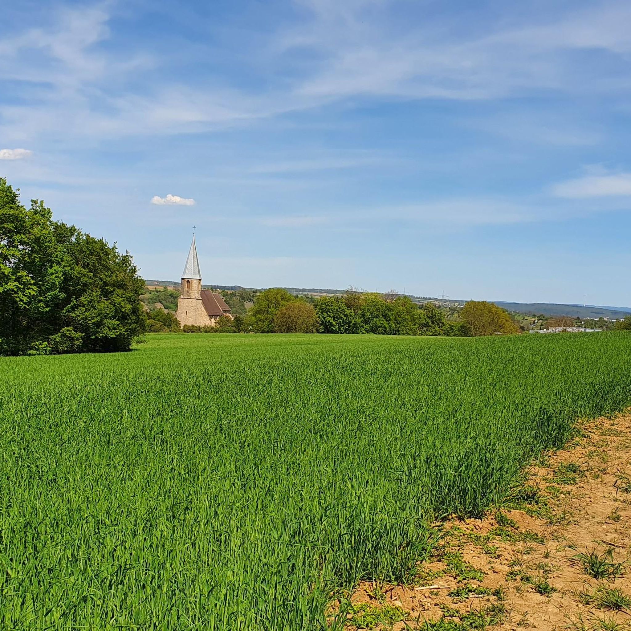
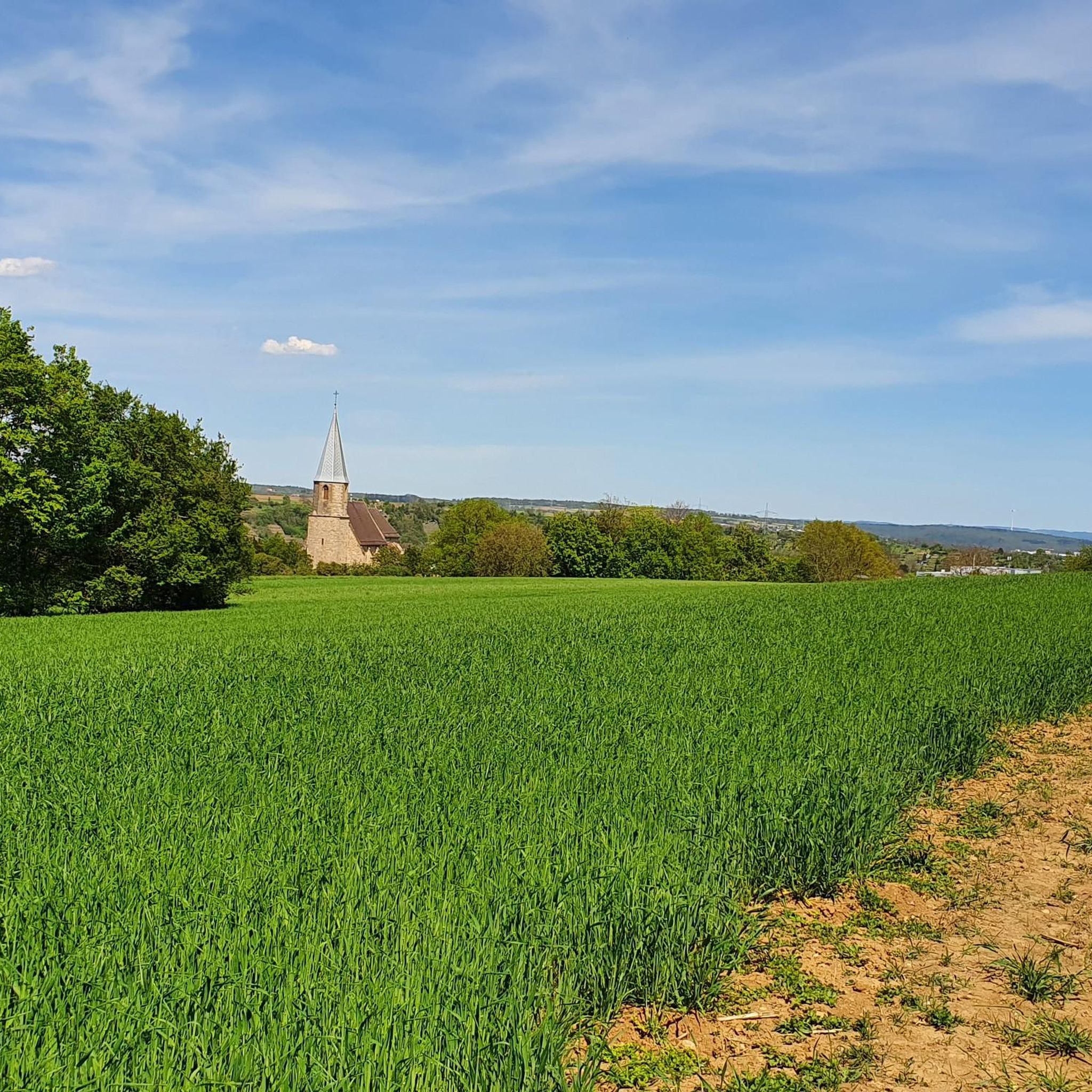
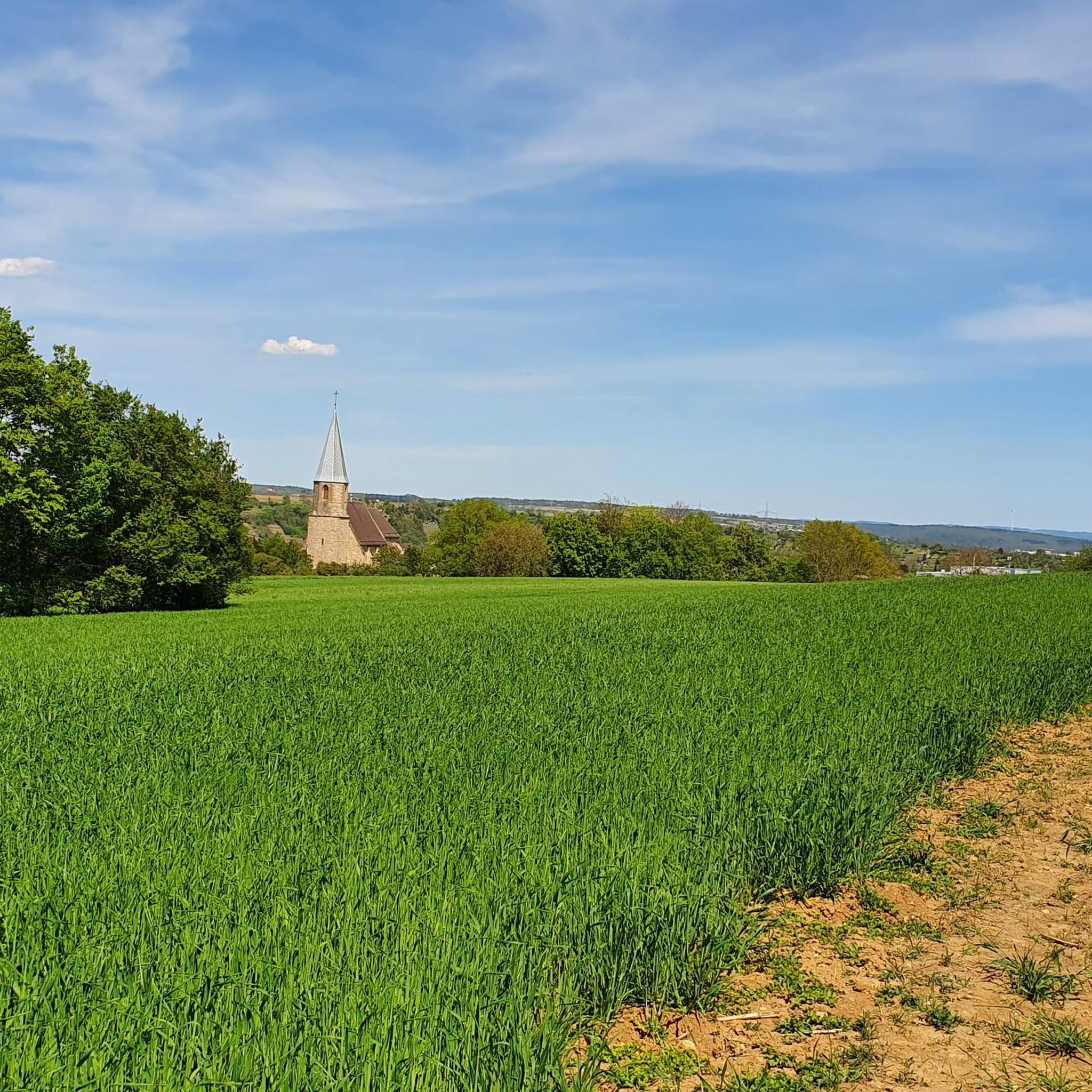
Tips from the Community

On the right bank of the Enz, in front of the high Wobach rock face, about 300m upstream from the railway viaduct, there has been a walkable landscape model since the 1989 State Garden Show, featuring the rocks of the South German Scarpland. On a geological journey through time, one gains insights into the course of life on Earth, the origin and structure of the Scarpland, as well as the life world of the Muschelkalk sea.
3
0
Beautiful view of the Enz Viaduct, which was built as a railway viaduct between 1851 and 1853 as part of the Württemberg Westbahn Bietigheim–Bruchsal under the direction of construction councillor Karl Etzel.
2
0
Cyclist and pedestrian bridge over the Enz river with a beautiful view of the water.
4
0
Wide bridge over the Enz for cyclists and hikers with a very good view of the water.
6
0
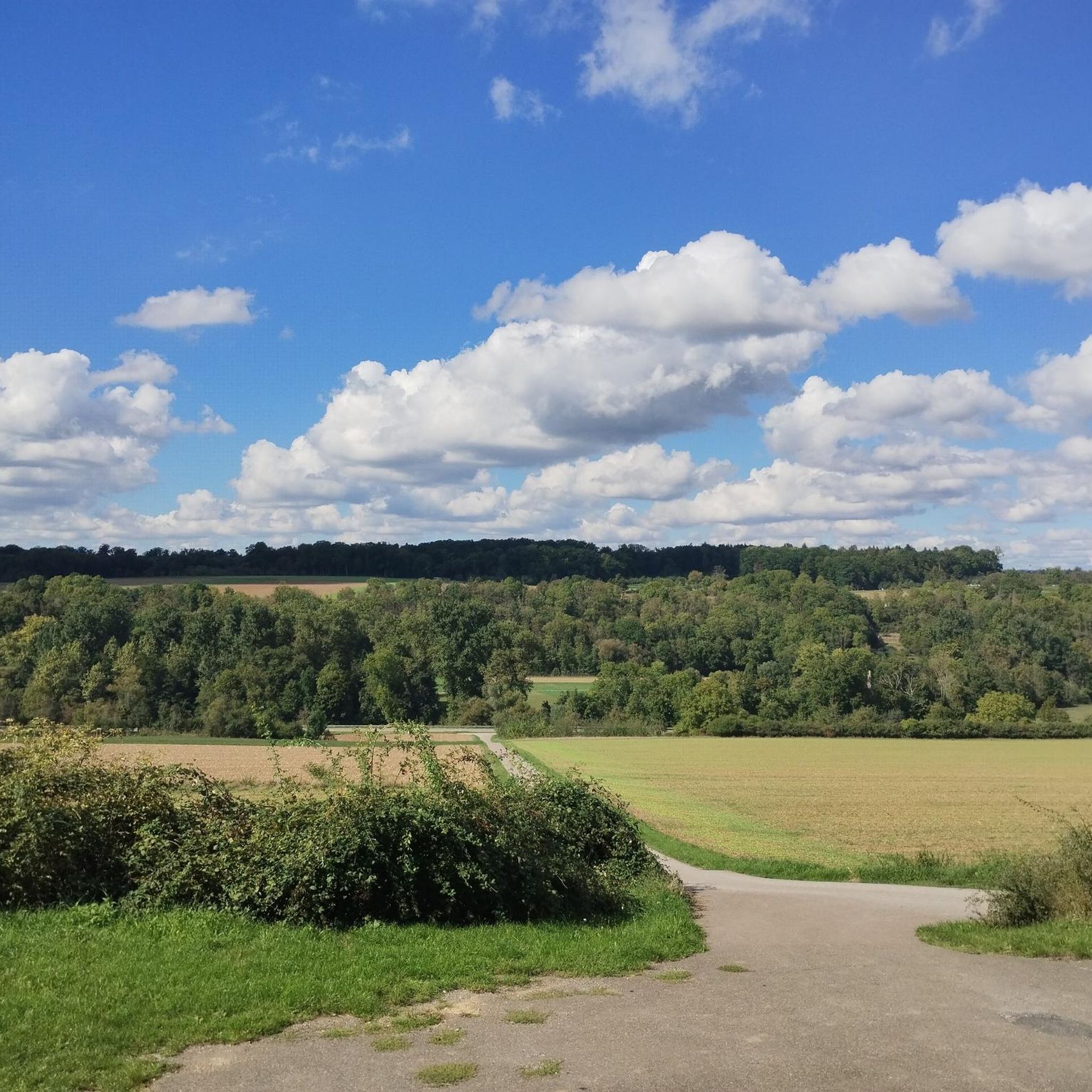
Further panoramic view of the Enz Valley, which extends from Unterriexingen over the Leudelsbach Valley to Bietigheim-Bissingen.
6
0

A bench like no other. It's almost always in the shade.
0
0
The Haspelturm, also known as the "Thieves' Tower," is arguably the oldest tower in Vaihingen. The Romanesque round-arch frieze suggests that it was built in the 13th century. With its six floors, it dominates the skyline of the old town. The first floor still contains the "Haspel," which was used to lower prisoners into the dungeon approximately 8 meters below.
3
0

Frequently Asked Questions
What kind of terrain can I expect on road cycling routes around Muckenschupf?
The road cycling routes around Muckenschupf feature a diverse landscape, including river valleys like the Enz, rolling terrain, forested sections, and open fields. You'll also encounter dedicated cycle paths, viaducts, and bridges, offering varied perspectives of the local topography.
How many road cycling routes are available in the Muckenschupf area?
There are over 250 road cycling routes available around Muckenschupf, catering to various skill levels. This includes approximately 50 easy routes, over 160 moderate routes, and more than 40 difficult routes for experienced cyclists.
Are there any easy road cycling routes suitable for beginners or a relaxed ride?
Yes, Muckenschupf offers several easy road cycling routes. An excellent option is the Langwiesenweg – Bietigheim Viaduct loop from Unterriexingen, which is 13.2 miles (21.2 km) long and provides scenic views of the Bietigheim Viaduct.
What are some moderate road cycling routes for those looking for a bit more challenge?
For a moderate challenge, consider the Cafe Kommod – Cycle path Gündelbach–Horrheim loop from Oberriexingen, a 22.8-mile (36.7 km) path that follows dedicated cycle paths. Another good choice is the Leinfelder Hof – Ensinger Lake loop from Oberriexingen, covering 21.8 miles (21.8 km).
What do other road cyclists say about the routes in Muckenschupf?
The road cycling routes in Muckenschupf are highly regarded by the komoot community, with an average rating of 4.5 stars from over 400 reviews. Cyclists often praise the varied terrain, well-maintained paths, and the scenic views of river valleys and viaducts.
Are there any circular road cycling routes around Muckenschupf?
Many of the road cycling routes in the Muckenschupf area are designed as loops, allowing you to start and end at the same point. For example, the Leinfelder Hof – Enztal Bridge loop from Oberriexingen is a popular circular route through the Enztal valley.
What interesting landmarks or historical sites can I see near the road cycling routes?
While cycling, you can explore several points of interest. Notable historical sites include the Concentration Camp Cemetery Unterriexingen and the WWII watchtower foundation (Neckar‑Enz Line, Unterriexingen). For natural beauty, the Heide im Siegental Nature Monument is also nearby.
Can I find routes that offer good viewpoints or scenic vistas?
Yes, routes often incorporate scenic elements. For instance, the View of Hohenhaslach – Teufelsberg, Hohenhaslach loop from Oberriexingen offers views towards Hohenhaslach and the Teufelsberg area, providing picturesque landscapes during your ride.
Are there routes that follow dedicated cycle paths?
Many routes in the Muckenschupf region utilize dedicated cycle paths, ensuring a smoother and safer riding experience. The Cafe Kommod – Cycle path Gündelbach–Horrheim loop from Oberriexingen is a prime example, following well-established cycle paths through the Gündelbach and Horrheim areas.
What are the typical distances for road cycling routes in Muckenschupf?
Route distances vary significantly, from shorter rides of around 10 miles (16 km) to longer excursions. For example, the Leinfelder Hof – Enztal Bridge loop from Oberriexingen is about 10.4 miles (16.8 km), while the Cafe Kommod – Cycle path Gündelbach–Horrheim loop from Oberriexingen extends to 22.8 miles (36.7 km).
Most popular routes around Muckenschupf
Most popular attractions around Muckenschupf

Get inspired with the komoot mobile app


Explore more
Browse the best Road cycling routes in other regions.
