The best running trails around Häslachwald
4.3
(2670)
41,787
runners
998
runs
Jogging around Häslachwald offers a network of running trails through peaceful forest paths and varied terrain. The region is characterized by its car-free environment, providing a tranquil experience along natural features like the Körsch river. Häslachwald running trail difficulty details show options ranging from easy, accessible routes to more moderate paths, suitable for different fitness levels.
Best jogging routes around Häslachwald
- The most popular jogging route is Ruiter Wiesen – Kastanienallee Ostfildern loop from University of Hohenheim, a 6.8…
Last updated: July 1, 2026
41
runners
Moderate run. Good fitness required. Mostly paved surfaces. Suitable for all skill levels.
5.0
(1)
25
runners
Moderate run. Good fitness required. Mostly paved surfaces. Suitable for all skill levels.

Sign up for free
4.5
(2)
9
runners
Moderate run. Good fitness required. Mostly paved surfaces. Suitable for all skill levels.
7
runners
Moderate run. Good fitness required. Mostly paved surfaces. Suitable for all skill levels.
4
runners
Moderate run. Good fitness required. Mostly paved surfaces. Suitable for all skill levels.
Get access to more routes and recommendations from other explorers.
Sign up for free
Already have an account?
Our route recommendations are based on thousands of hikes, rides, and runs completed by other people on komoot.
Start today with a free account
Your next adventure awaits.
Login or Signup

Tips from the Community


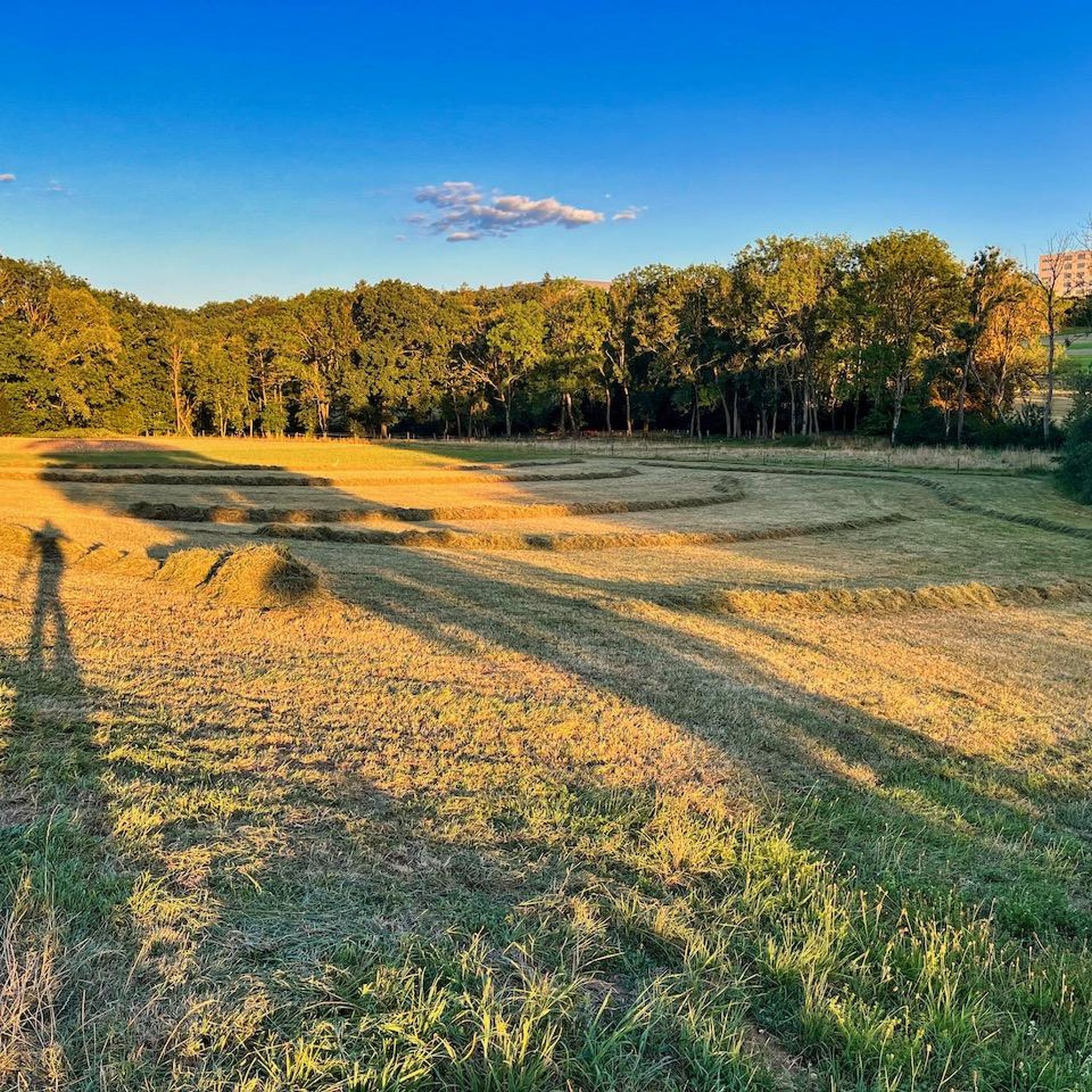
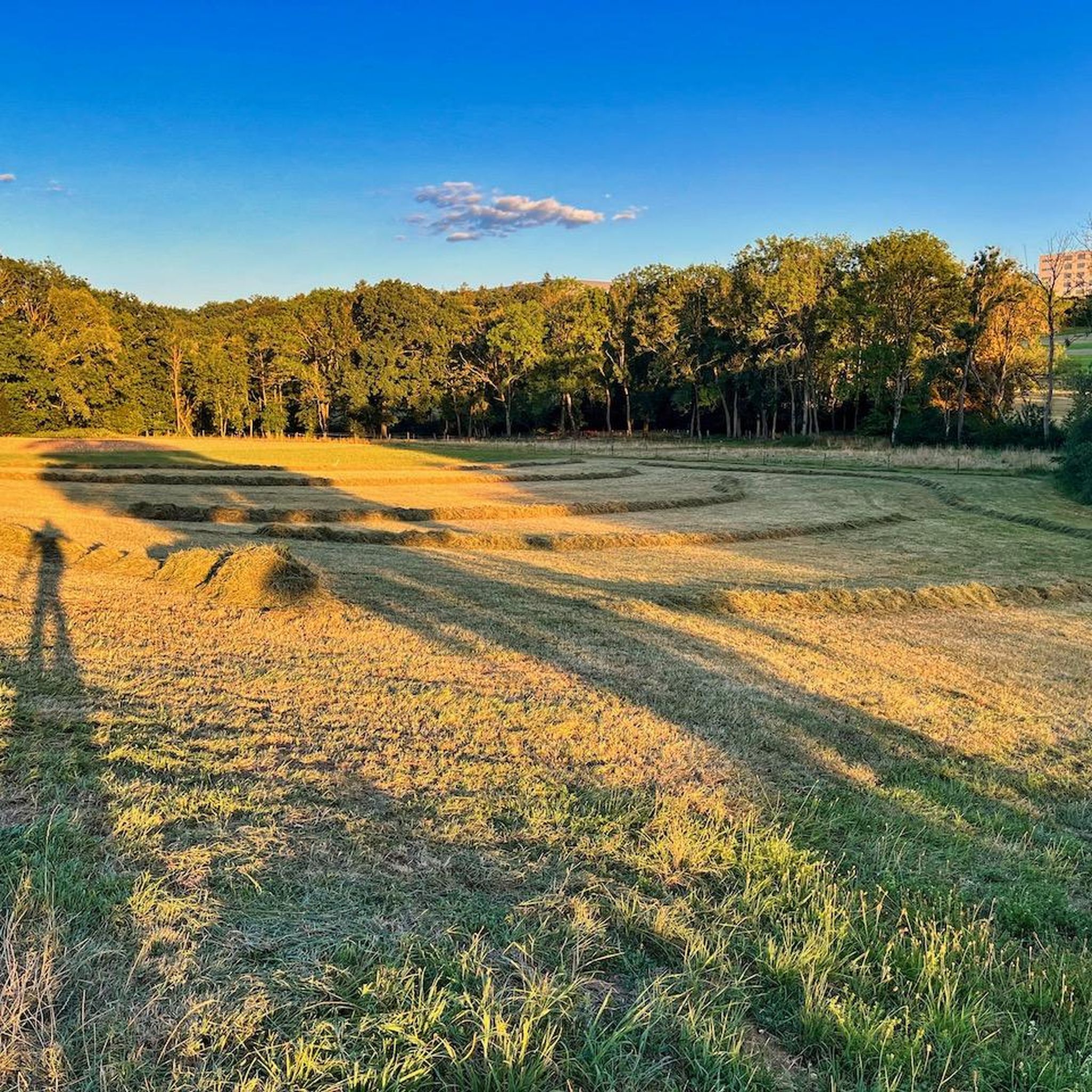
The hares are an absolute highlight of Scharnhauser Park. It's nice that they have now been restored.
0
0

... the "Exotic Garden" is part of the "Hohenheim Gardens" near the "University of Hohenheim". - S-Hohenheim lies "between" Stuttgart-Plieningen and Stuttgart Birkach, in Baden-Württemberg. - optimal entrance: entrance "Garbenstraße/Paracelsusstr." - the public grounds are open all year round and freely accessible - sights worth seeing Further detailed information for interested parties: - the "Hohenheim Gardens" cover more than 30 hectares - the oldest part of the garden, the so-called "Exotic Garden", was founded in 1776 by "Duke Carl Eugen of Württemberg" and "Franziska von Hohenheim" - in addition, there is the "Landscape Garden", the "Palace Park"... - Plan 2026: https://gaerten.uni-hohenheim.de/fileadmin/einrichtungen/gartenbau/pdf_dateien/Verschiedenes_2020/Hohenheimer_Gaerten_Gartenplan.pdf - the lawns may be entered to view the trees and plants, but they are not sunbathing lawns - the collection greenhouse is currently (05/2026) open on Sundays from 1:00 PM to 4:00 PM (admission 4 Euros) - https://gaerten.uni-hohenheim.de/
0
0

Always worth a visit
1
0

The size of the rabbits is impressive. The sitting rabbits are 2.4m × 2.3m × 0.8m The running rabbits are 2.2m × 3.1m × 0.6m and all the rabbits are yellow or pink. The art installation was recently restored after having been in poor condition for the past few decades.
8
0

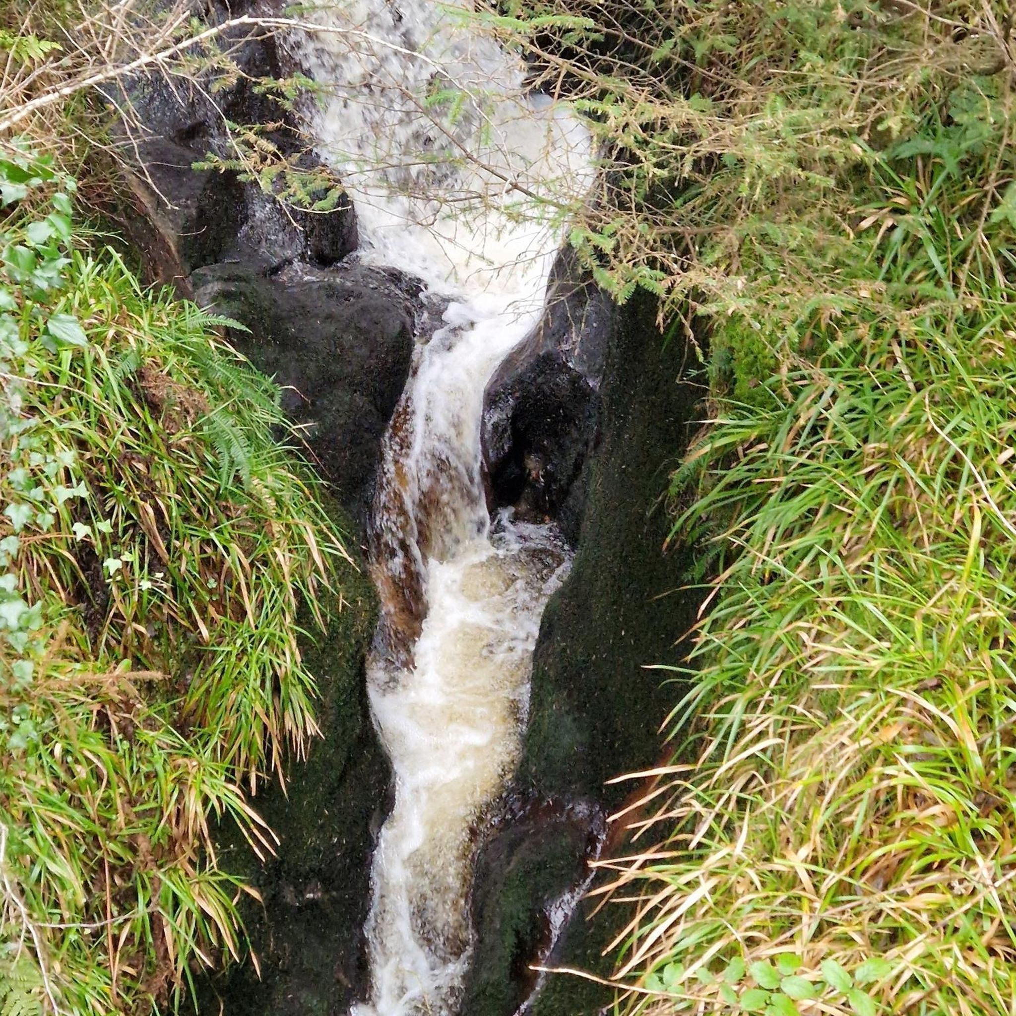
Beautiful, rustic section along the Körsch in the forest.
3
0

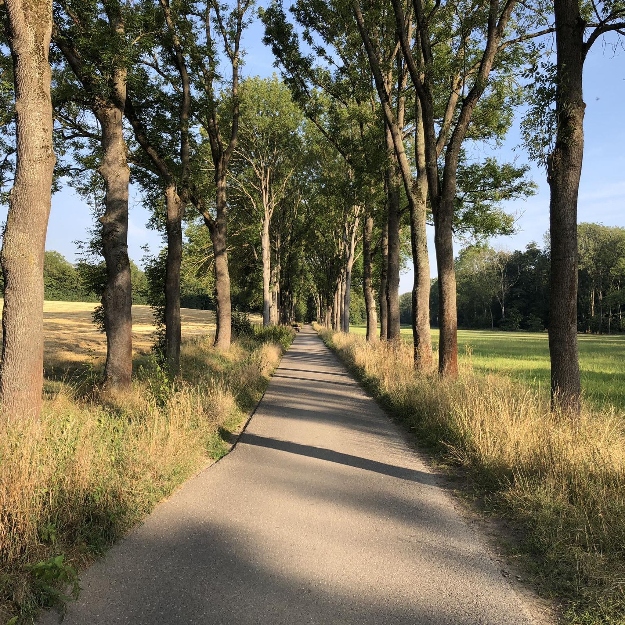
Good view towards the town centre of Kemnat, as well as the tower of St. Bartholomew's Church, which can be seen from afar, from the field path between Ruit and Kemnat.
5
0
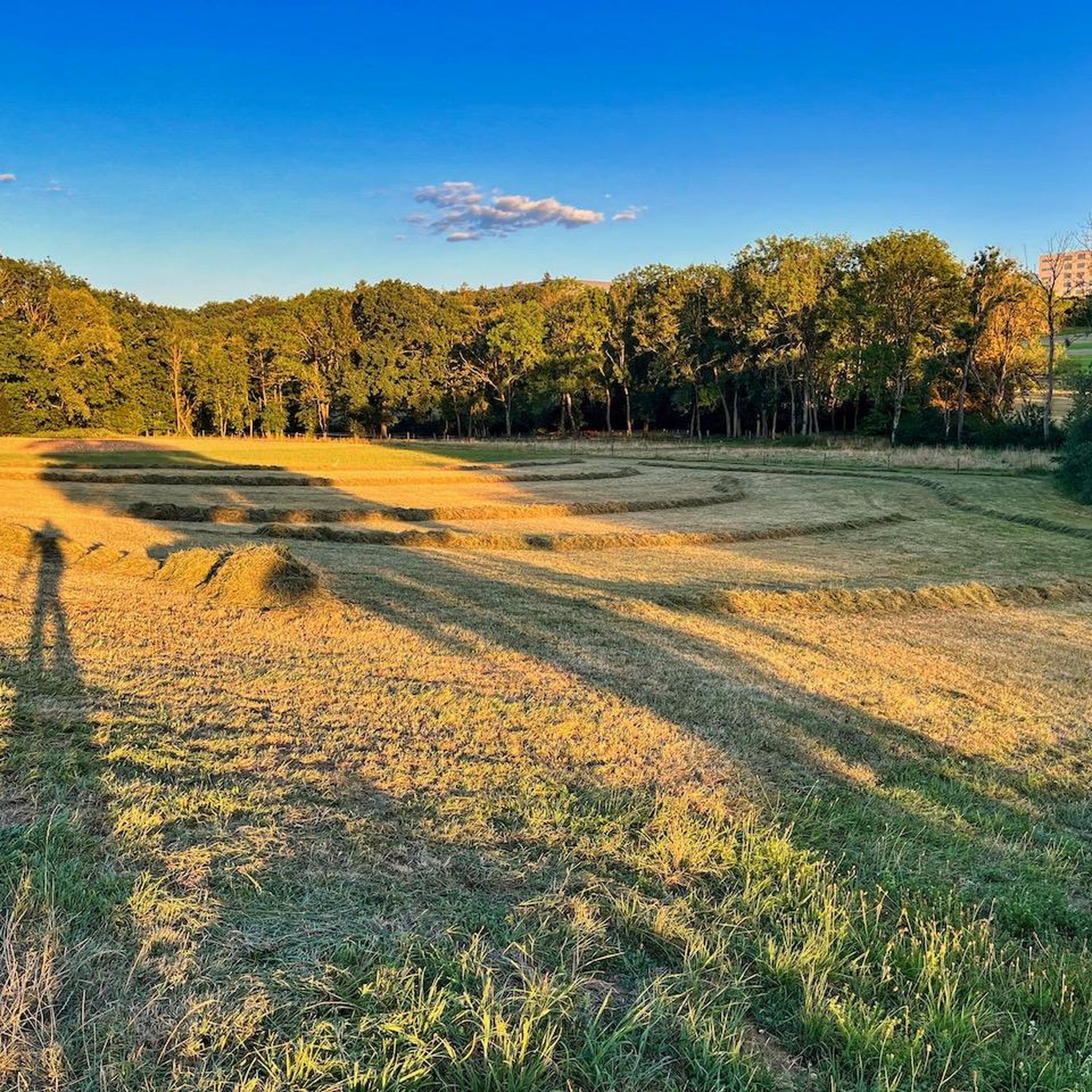
Field path with beautiful views over the fields towards Albtrauf.
5
0
Frequently Asked Questions
How many running routes are available in Häslachwald?
Häslachwald offers a vast network of running trails, with over 1,000 routes available on komoot. These include options for various fitness levels, from easy jogs to more challenging runs.
What kind of terrain can I expect on the running trails in Häslachwald?
You'll find a diverse range of terrain in Häslachwald, primarily characterized by peaceful forest paths. The area is car-free, providing a tranquil experience. While generally well-maintained, some paths along the Körsch river can become muddy for a few days after rain, so it's good to be prepared for varied ground conditions.
Are there running routes suitable for beginners or those looking for an easy jog?
Yes, Häslachwald has options for all fitness levels. There are approximately 150 easy running routes available, perfect for beginners or those seeking a relaxed jog through the serene forest environment.
What are the difficulty levels of running routes in Häslachwald?
The running routes in Häslachwald cater to a wide range of abilities. You'll find about 150 easy routes, over 780 moderate routes, and around 70 difficult routes, ensuring there's a challenge for every runner.
What natural features or scenic points can I discover while running in Häslachwald?
While running in Häslachwald, you can enjoy the tranquil ambiance of the forest and the soothing sounds of nature, including the flowing Körsch valley. The Körsch Valley Trail in Häslach Forest and the Körschtal Cycle Path are notable features, offering picturesque views and a refreshing experience.
Are there any circular running routes in Häslachwald?
Yes, many of the running routes in Häslachwald are circular, allowing you to start and finish at the same point. An example is the Bridge Over the Körsch – Körsch Valley Trail in Häslach Forest loop from Manfred Rommel Airport Stuttgart, which is a moderate 5.1 km trail.
What do other runners enjoy most about jogging in Häslachwald?
The running trails in Häslachwald are highly rated by the komoot community, with an average score of 4.3 stars from over 2,300 reviews. Runners frequently praise the peaceful forest paths, the car-free environment, and the diverse, varied terrain that makes for an immersive natural experience.
Are there any historical or cultural landmarks near the running routes?
While the primary appeal is natural, Häslachwald is close to some historical points of interest. The former pleasure palace Schloss Scharnhausen, built in 1784, is nearby. You can explore routes like the Körsch stream in the Häslachwald – Scharnhausen Pleasure Palace loop from Manfred Rommel Airport Stuttgart, which passes by this area.
Can I bring my dog on the running trails in Häslachwald?
Häslachwald's natural environment is generally welcoming for dog walkers and runners. However, specific regulations regarding leashes may apply in certain areas, especially within conservation zones. It's always best to keep your dog under control and check for local signage.
How accessible is Häslachwald by public transport for runners?
While specific public transport stops directly at trailheads are not detailed, Häslachwald is located near urban areas like Stuttgart. It's advisable to check local public transport schedules and routes to nearby access points, such as those around the University of Hohenheim, which serve as starting points for many routes.
Are there any longer running routes for endurance training in Häslachwald?
Absolutely. For those looking for longer distances, the Häslachwald Conservation Area – Körsch stream in the Häslachwald loop from University of Hohenheim is a great option, covering 12.2 km (7.6 miles) and typically taking about 1 hour 19 minutes to complete.
What is the best way to find a running route that suits my preferences in Häslachwald?
Komoot offers a wide selection of routes in Häslachwald. You can filter by distance, duration, difficulty, and even specific points of interest to find a running trail that perfectly matches your preferences and fitness level.
Most popular routes around Häslachwald
Most popular attractions around Häslachwald

Get inspired with the komoot mobile app


Explore more
Browse the best Running Trails & Routes in other regions.
