The best walks and hikes around Langenberge
4.6
(14319)
52,403
hikers
92
hikes
Hiking around Langenberge offers diverse landscapes, characterized by rolling hills, green meadows, and deciduous forests, situated at the edge of the Teutoburg Forest. The region features significant natural elements like basalt formations and various viewpoints. These varied terrains provide a rich natural environment for outdoor activities. The area includes parts of the Habichtswald Highlands, known for its hilly terrain and numerous streams, and the Rothaar Mountains, featuring varied forest types and mountain heathland.
Best hiking trails around Langenberge
- The most…
Last updated: October 8, 2026
4.7
(131)
311
hikers
6.80km
01:58
170m
170m
Easy hike. Great for any fitness level. Easily-accessible paths. Suitable for all skill levels.
4.8
(48)
134
hikers
4.97km
01:29
150m
150m
Easy hike. Great for any fitness level. Easily-accessible paths. Suitable for all skill levels.

4.7
(33)
71
hikers
4.61km
01:20
120m
130m
Easy hike. Great for any fitness level. Easily-accessible paths. Suitable for all skill levels.
5.0
(10)
51
hikers
Easy hike. Great for any fitness level. Easily-accessible paths. Suitable for all skill levels.
4.8
(28)
72
hikers
12.4km
03:32
280m
280m
Moderate hike. Good fitness required. Easily-accessible paths. Suitable for all skill levels.
Get access to more routes and recommendations from other explorers.
Already have an account?
Our route recommendations are based on thousands of hikes, rides, and runs completed by other people on komoot.
Start today with a free account
Your next adventure awaits.

Tips from the Community

I think it's called chainsaw art.
1
0

The Pfaff Oak was planted in 1931 in honor of the long-serving forester Karl-Heinz Pfaff (1857-1941). The Heiligenborn spring, now enclosed, rises near the oak. The water is said to be particularly palatable and to have healing properties. A small park was created here in 1883, but it no longer exists.
9
0

Further view towards the south
0
0
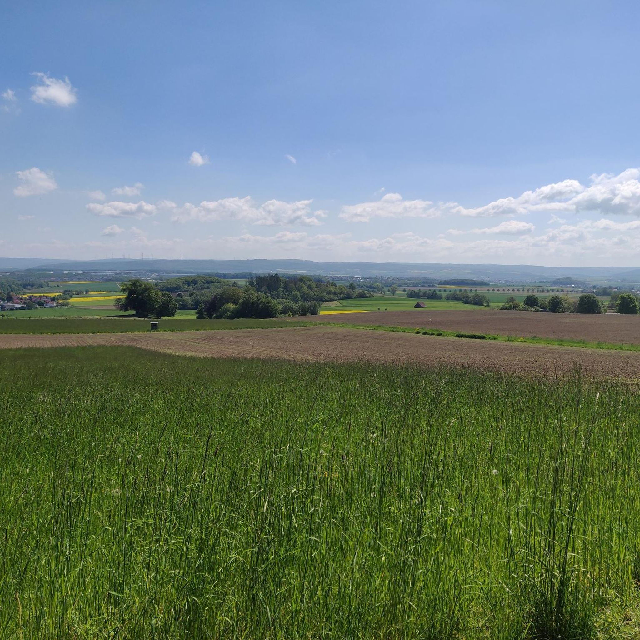
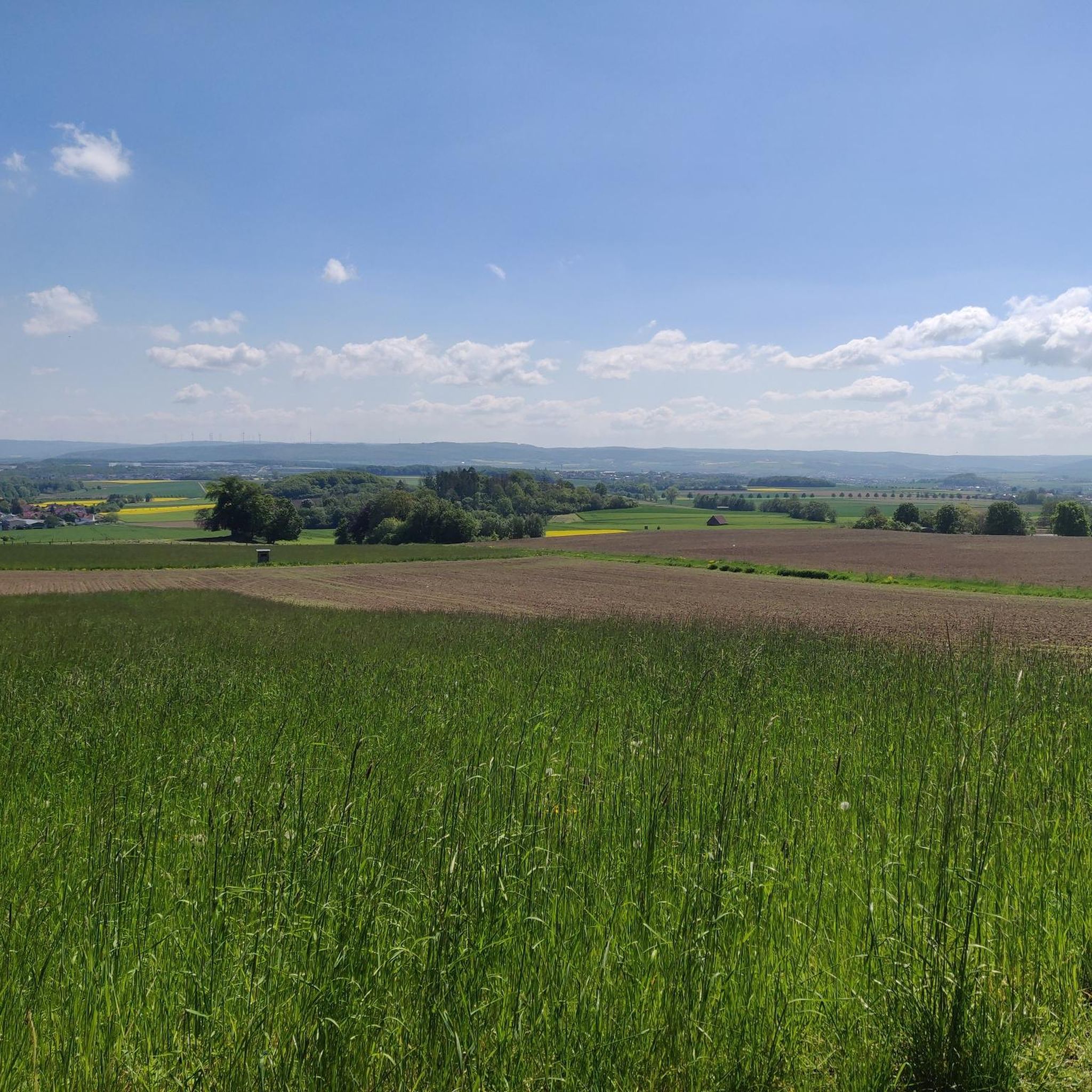
Great view over Besse
1
0

The basalt formation is smaller than expected, but still very beautiful and an ideal place for geocaching
1
0
Bilstein I found it beautiful on the Bilstein in Langenbergen. I'd like to keep an eye out for the Bilsten in the Chorengau. My thanks, dear friends. Will God? So come back often!
1
0
Shortly before the “center of Germany” you have a fantastic view of Besse
0
1
The basalt formation is smaller than expected, but still very beautiful to look at. There is also a hotspot there for all geocaching enthusiasts
1
0
Frequently Asked Questions
How many hiking trails are available in the Langenberge area?
The Langenberge region offers a wide variety of hiking experiences, with over 90 routes to explore. These include options for all skill levels, from easy strolls to more challenging day hikes.
What are the best times of year to go hiking in Langenberge?
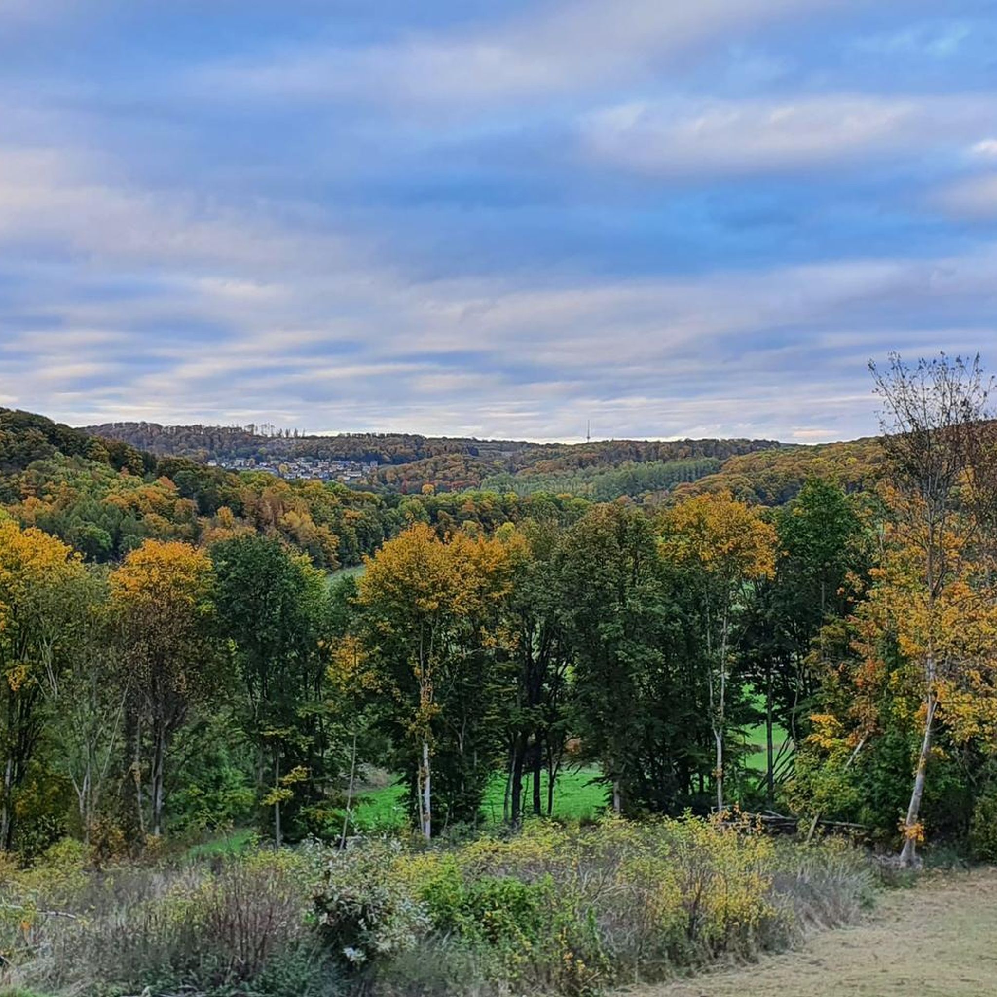
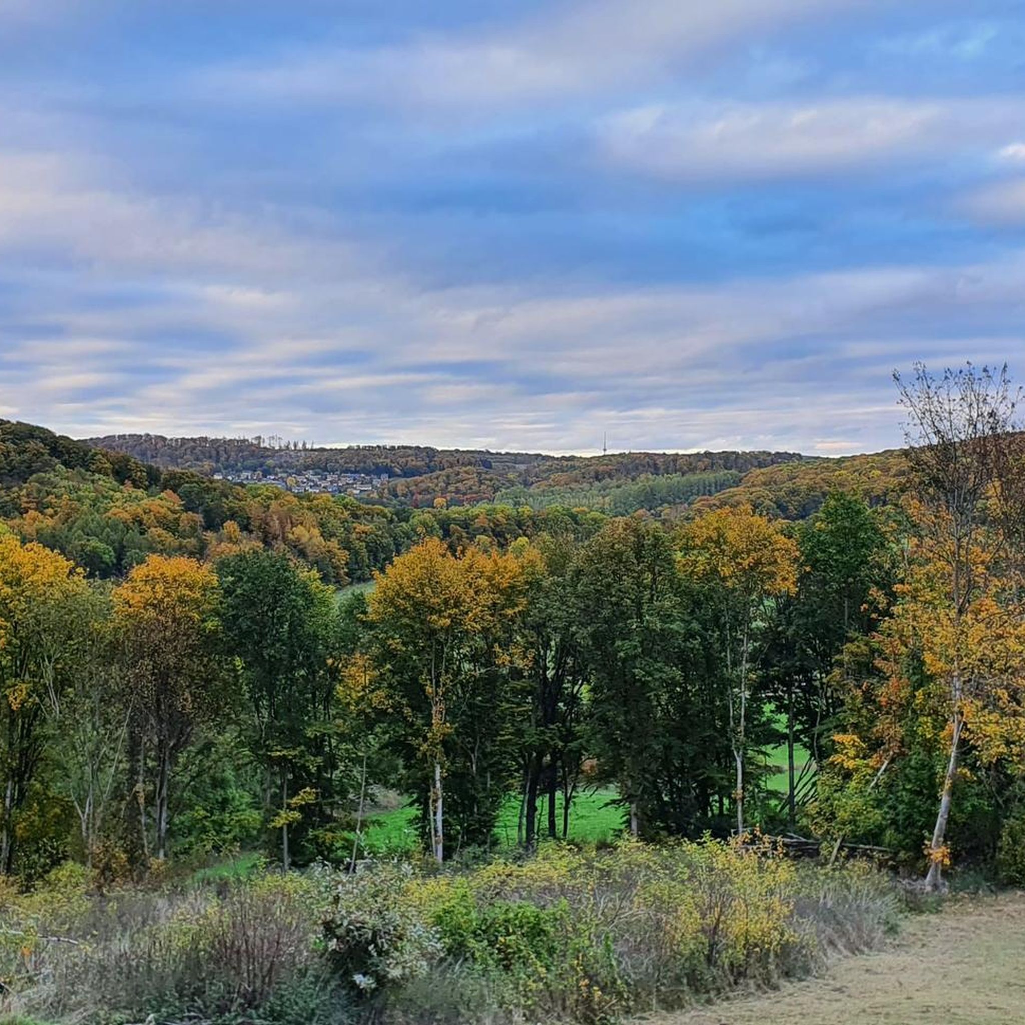
The natural surroundings of Langenberge are particularly vibrant in spring and autumn. Spring brings blooming flowers, while autumn transforms the foliage into a display of colors, enhancing the hiking experience. However, the diverse landscapes are enjoyable year-round.
Are there any easy hiking trails suitable for beginners or families in Langenberge?
Yes, Langenberge has numerous easy trails. For example, the Basalt Formation at Bensberg – Bilstein Cliffs loop from Ermetheis is an easy 4.2-mile (6.8 km) path featuring scenic basalt formations and the Bilstein Cliffs. There are over 50 easy routes in total, many of which are suitable for families.
What kind of natural features can I expect to see on the trails?
Langenberge is characterized by rolling hills, deciduous forests, and unique basalt formations. Many routes, like the Center of Germany, Besse – Basalt Formation at Bensberg loop from Metze, specifically highlight these impressive geological features. You'll also find green meadows and diverse plant life.
Are there any challenging hiking routes for experienced hikers?
Yes, for those seeking a more strenuous hike, Langenberge offers several difficult routes. An example is the Ascent to Schauenburg – View of Breitenbach loop from Breitenbach, a challenging 17.2-mile (27.7 km) trail with significant elevation gain.
What do other hikers say about the trails in Langenberge?
The routes in Langenberge are highly rated by the komoot community, with an average score of 4.7 stars from over 800 reviews. Hikers often praise the varied terrain, the unique basalt formations, and the well-maintained paths.
Are there any circular hiking routes in Langenberge?
Many of the trails in Langenberge are designed as circular routes, allowing you to start and end at the same point. The Adams Ruh Viewpoint – Basalt Formation at Bensberg loop from Großenritte is a popular 3.1-mile (5.0 km) circular trail that takes you through varied terrain.
What are some interesting landmarks or points of interest along the hiking trails?
Along the trails, you can discover several points of interest. The Bilstein Cliffs offer impressive rock formations, and the Lautarius Tomb provides a glimpse into local history. You might also encounter natural springs like the Landgrafenborn Spring.
Are there places to rest or find shelter along the routes?
Yes, there are several huts and shelters in the area. You can find places like the Kammerberg Hut or the Bilsteinhütte and Viewpoint Over Besse, which offer spots to take a break or seek cover.
What is the typical duration for a hike in Langenberge?
Hiking durations vary significantly depending on the route's length and difficulty. Easy trails like the Bärwinkelteich – Deer Enclosure loop from Wasserhochbehälter can be completed in under 2 hours, while longer, more challenging routes can take 8 hours or more.
Is Langenberge suitable for winter hiking?
While the region offers beautiful scenery year-round, winter hiking in Langenberge can be a unique experience, especially when the landscape is covered in snow. Always check local weather conditions and trail accessibility before heading out in winter.
Most popular routes around Langenberge
Most popular attractions around Langenberge

Get inspired with the komoot mobile app


Explore more
Browse the best Hikes in other regions.
