The best mountain hikes around Hardtwald
4.8
(4)
27
hikers
12
hikes
Mountaineering routes around Hardtwald traverse a landscape characterized by extensive woodlands, diverse tree species, and rolling hills within a low mountain range setting. The region, part of a larger scenic area including the Odenwald, features varied topography with granite rock formations and Bunter formations along the Neckar river. Altitudes range from the Rhine Plain to the Odenwald, offering a network of paths through deep forests and wide valleys. This environment provides engaging terrain for demanding outdoor activities.
Best mountaineering routes…
Last updated: July 2, 2026
2
hikers
13.0km
04:02
440m
440m
Moderate mountaineering route. Good fitness required. Mostly accessible paths. Sure-footedness required.
4.7
(3)
8
hikers
17.5km
05:34
700m
700m
Hard mountaineering route. Very good fitness required. Mostly accessible paths. Sure-footedness required.

Sign up for free
6
hikers
Moderate mountaineering route. Good fitness required. Mostly accessible paths. Sure-footedness required.
1
hikers
21.1km
06:26
700m
700m
Hard mountaineering route. Very good fitness required. Mostly accessible paths. Sure-footedness required.
5.0
(1)
4
hikers
22.1km
06:49
750m
750m
Hard mountaineering route. Very good fitness required. Mostly accessible paths. Sure-footedness required.
Get access to more routes and recommendations from other explorers.
Sign up for free
Already have an account?
Our route recommendations are based on thousands of hikes, rides, and runs completed by other people on komoot.
Start today with a free account
Your next adventure awaits.
Login or Signup
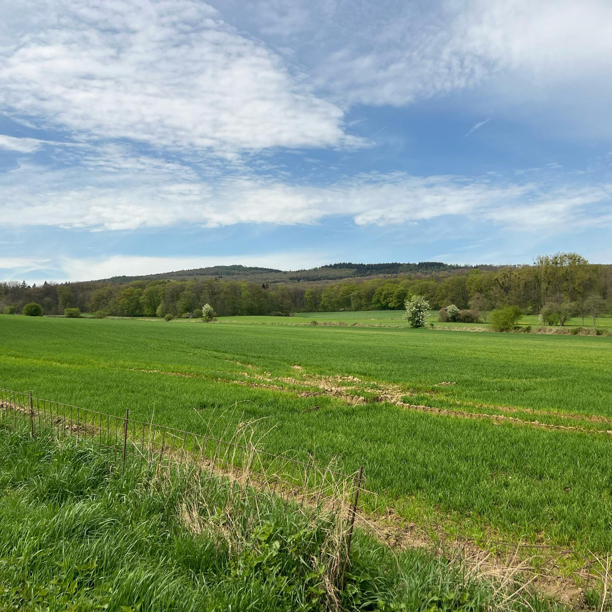
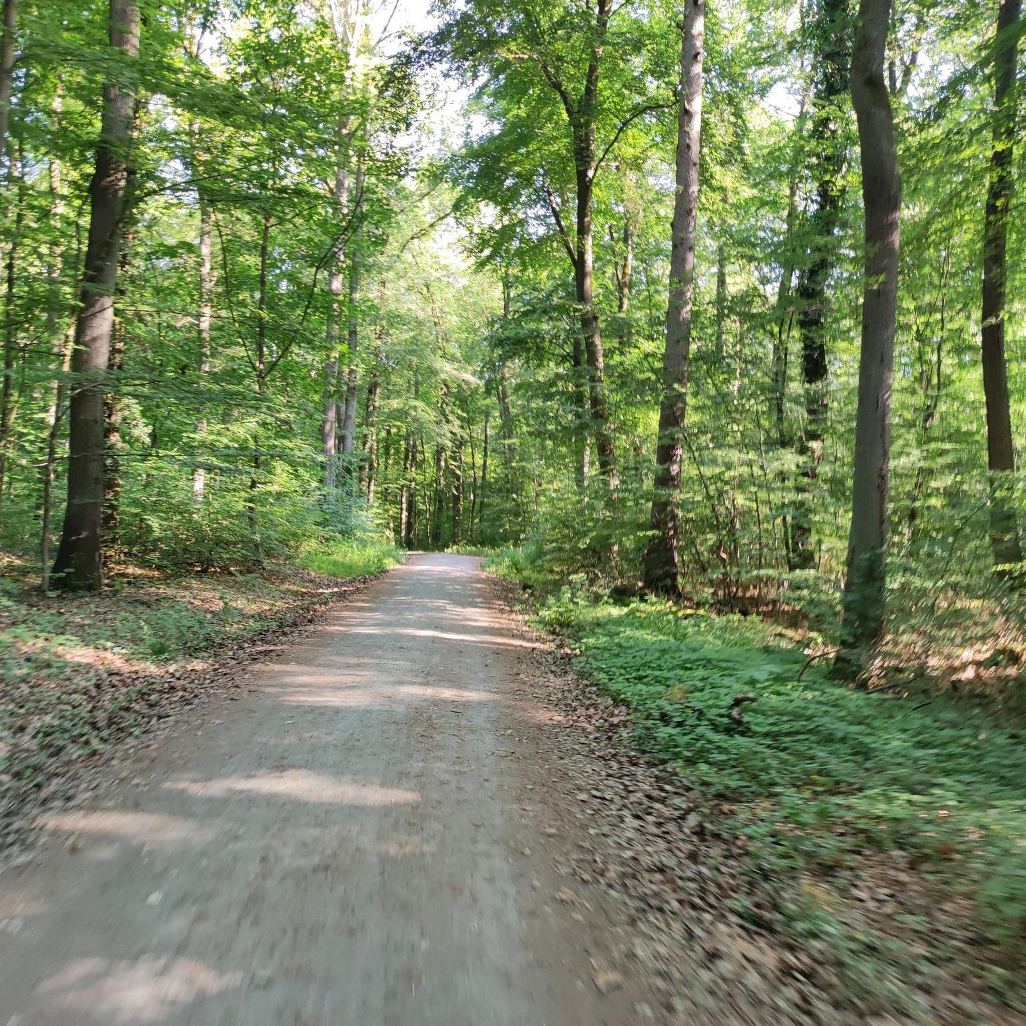
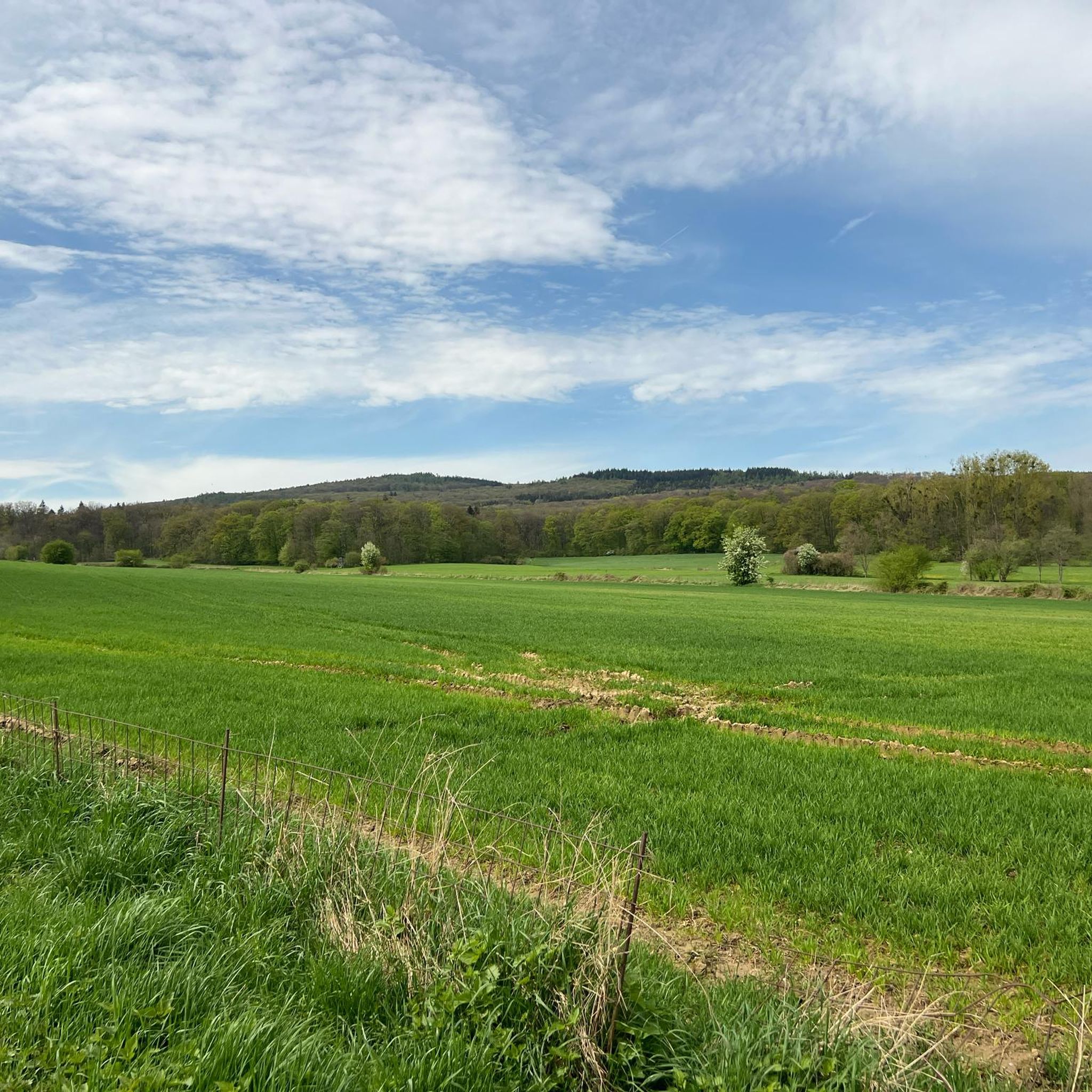
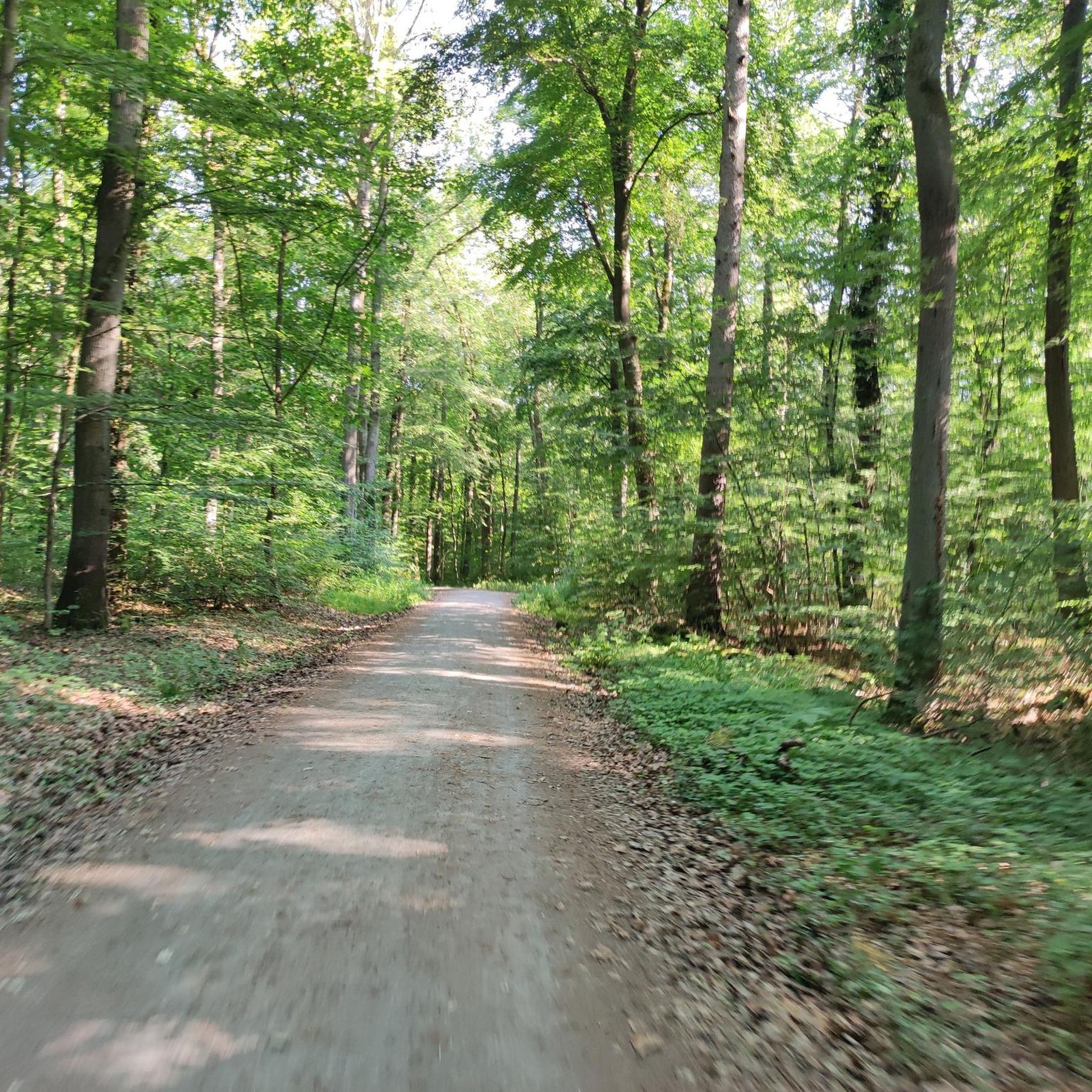

Tips from the Community

Nice little break spot. Many illegal fire pits
0
0

Today I saw the new summit cross. ⛰️
1
0

Sneakers not recommended, surefootedness and stability are required here 🤗
1
1


The mountain rescue station on the Feldberg is an important base for the mountain rescue service, which ensures safety in the surrounding hiking and skiing areas. It is located near the highest point of the Feldberg and serves as a rescue and care station for mountain accidents. Hikers and skiers can receive help here in an emergency, and the station is also a contact point for the mountain rescue service, which is regularly active in the region.
7
0

The mountain rescue station on the Grosser Feldberg in the Taunus is an important rescue facility located at an altitude of 881 meters. It is one of 11 emergency services of the DRK Bergwacht Hessen and supports the rescue service around the Grosser Feldberg. The station is open every weekend and on public holidays and can be reached via the emergency number 112.
9
0

The Herzberg Tower is a worthwhile destination.
4
1
Frequently Asked Questions
How many mountaineering routes are available in Hardtwald?
Hardtwald offers a diverse selection of over 10 mountaineering routes. These range from easier paths to more challenging ascents, providing options for various skill levels.
What are the different difficulty levels for mountaineering routes in Hardtwald?
The routes in Hardtwald cater to various experience levels. You'll find 1 easy route, 7 moderate routes, and 4 difficult routes, ensuring there's a suitable challenge for everyone.
What kind of terrain can I expect on Hardtwald mountaineering routes?
Mountaineering in Hardtwald primarily involves traversing extensive woodlands, rolling hills, and diverse low mountain range terrain. The region is characterized by a mix of coniferous and deciduous trees, with varied topography including granite rock formations and Bunter formations along the Neckar river in the broader area.
What natural features or landmarks can I expect to see along the mountaineering routes in Hardtwald?
Along your mountaineering routes in Hardtwald, you can discover several interesting natural and historical landmarks. Notable points of interest include the impressive 500-Year-Old Oak Tree Natural Monument and the historical Gustavstein Memorial Column, Friedrichsdorf. The area's extensive woodlands themselves are a significant natural feature.
Are there any circular mountaineering routes in Hardtwald?
Yes, many of the mountaineering routes in Hardtwald are designed as circular tours, allowing you to start and end at the same point. For example, consider the Bleibeskopf (480 m) – Elisabeth Stone loop from Oberstedten or the Altkönig Ringwall – Altkönig Summit loop from Hohemark.
What do other mountaineers appreciate most about the routes in Hardtwald?
The mountaineering routes in Hardtwald are highly rated by the komoot community, with an average score of 4.75 stars from several reviews. Users often praise the varied forest paths, the engaging terrain of the low mountain range, and the opportunities for panoramic views from summits like Altkönig.
Are there any challenging mountaineering routes for experienced hikers?
Absolutely. For experienced mountaineers seeking a challenge, Hardtwald offers several difficult routes. A notable option is the Anita's Fuchstanz – Großer Feldberg Summit loop from Hohemark, which is a 13.4-mile (21.6 km) trail with significant elevation gain, leading to the Großer Feldberg Summit.
Are there any family-friendly attractions near the mountaineering trails?
Yes, Hardtwald is a great destination for families. After a hike, you can visit the Hardtwald Forest Playground for recreational fun. For more adventurous families, the Taunus Climbing Forest offers opportunities for adventure sports.
Are there dog-friendly mountaineering trails in Hardtwald?
Hardtwald's extensive woodlands and numerous trails are generally welcoming for dogs. Many routes offer varied forest paths suitable for exploring with your canine companion. Always ensure your dog is on a leash where required and respect local wildlife.
What is the best time of year for mountaineering in Hardtwald?
Hardtwald offers enjoyable mountaineering experiences throughout much of the year. Spring and autumn provide pleasant temperatures and beautiful foliage. Summer is ideal for longer treks through the shaded forests, while winter can offer a unique, tranquil experience, though conditions may vary and require appropriate gear.
Are there options for public transport to reach Hardtwald trailheads?
While specific public transport connections to every trailhead can vary, the Hardtwald region is generally accessible. Many towns bordering the forest, such as Oberstedten and Hohemark, serve as good starting points and often have public transport links. It's advisable to check local bus or train schedules for the most convenient access to your chosen trailhead.
Where can I find parking for mountaineering routes in Hardtwald?
Parking is typically available at or near the main trailheads and popular starting points for mountaineering routes in Hardtwald. Areas like Oberstedten and Hohemark, which are common access points for tours such as the Großer Feldberg Summit – Anita's Fuchstanz loop from Hohemark, usually offer designated parking facilities for hikers.
Can I find places to eat or drink near the trails in Hardtwald?
Yes, depending on your chosen route and starting point, you can often find cafes, restaurants, or traditional inns in the towns and villages bordering Hardtwald. Some longer routes, especially those ascending to summits like Großer Feldberg, may also have mountain huts or kiosks offering refreshments during peak seasons.
Most popular routes around Hardtwald
Most popular attractions around Hardtwald

Get inspired with the komoot mobile app


Explore more
Browse the best Mountain Hikes & Routes in other regions.
