The best walks and hikes around Gehrdener Berg
4.6
(8721)
34,788
hikers
14
hikes
Hiking around Gehrdener Berg is characterized by its forested ridge, which rises to 155 meters at its highest point, the Burgberg. This elevation provides panoramic views of the surrounding Calenberger Land, extending to the Deister and Süllberg hill ranges. The landscape features diverse geological formations of clay, limestone, and marl, reflecting ancient seas. Well-maintained trails wind through these varied natural settings, offering routes for different fitness levels.
Best hiking trails around Gehrdener Berg
- The most popular hiking route is Bench…
Last updated: August 19, 2026
4.7
(30)
117
hikers
Easy hike. Great for any fitness level. Easily-accessible paths. Suitable for all skill levels.
4.5
(13)
38
hikers
7.09km
01:57
100m
100m
Hard hike. Great for any fitness level. Sure-footedness, sturdy shoes and alpine experience required.

Sign up for free
4.4
(7)
62
hikers
Easy hike. Great for any fitness level. Easily-accessible paths. Suitable for all skill levels.
4.0
(5)
19
hikers
7.85km
02:05
70m
70m
Moderate hike. Good fitness required. Easily-accessible paths. Suitable for all skill levels.
5.0
(4)
20
hikers
Easy hike. Great for any fitness level. Easily-accessible paths. Suitable for all skill levels.
Get access to more routes and recommendations from other explorers.
Sign up for free
Already have an account?
Our route recommendations are based on thousands of hikes, rides, and runs completed by other people on komoot.
Start today with a free account
Your next adventure awaits.
Login or Signup

Tips from the Community

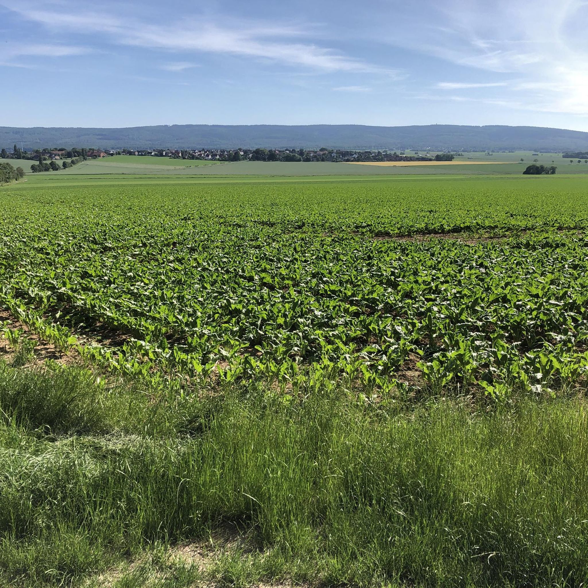
93 walnut trees protect the arable land. The aim is to achieve better temperature and moisture distribution through reduced wind speeds and shade, ultimately increasing crop yields and generating revenue from walnut sales.
0
0
The mother orchard is located in Lemmie, between Lemmie and Gehrden, on Kniggenberg hill. Here, approximately 200 old and regional fruit varieties, which are threatened with extinction, are preserved.
0
0

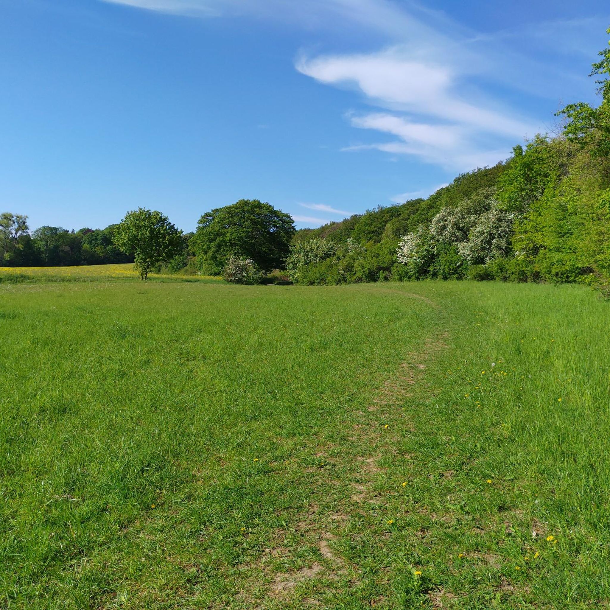
Great view of the surroundings
0
0


The adjacent viewing terrace is freely accessible and beautiful.
0
0
Nice view, but the path is quite narrow, so be careful of oncoming traffic.
0
0
Good parking, was very empty on a Saturday.
0
0

Beautiful view towards Deister.
0
0
Frequently Asked Questions
How many hiking trails are available in Gehrdener Berg?
Gehrdener Berg offers a variety of hiking opportunities, with over 15 routes recorded on komoot. Most of these, around 13, are classified as easy, making them suitable for various fitness levels. There is also one moderate and one difficult route for those seeking more of a challenge.
What is the terrain like for hiking in Gehrdener Berg?
The terrain in Gehrdener Berg is primarily characterized by its forested ridge, with paths winding through diverse natural settings. The highest point, the Burgberg, reaches 155 meters. While generally easy to navigate, paths can become muddy after wet weather, so appropriate footwear is recommended.
Are there any circular hiking routes in Gehrdener Berg?
Yes, many of the trails in Gehrdener Berg are circular routes, offering convenient starting and ending points. For example, the View of Süllberg – Forest Path in Region Hannover loop from Gehrden is a popular option that takes you through the forested slopes.
What notable landmarks or viewpoints can I find along the trails?
Hikers can discover several notable landmarks and viewpoints. The Burgbergturm Gehrden on the Burgberg offers spectacular panoramic views of the Calenberger Land. You can also visit the Lower Saxony Mountain Inn, known for its views and refreshments, or explore the remains of an oval ring fort, the Ringwallanlage, on the northern peak of the Burgberg.
Are the hiking trails in Gehrdener Berg suitable for families with children?
Yes, Gehrdener Berg has many easy trails that are well-suited for families. The forested environment provides a pleasant setting for walks, and the relatively gentle elevation changes on most routes make them accessible for younger hikers. Consider routes like the Lower Saxony Mountain Inn – Bench with a View of the Deister loop from Gehrden for a shorter, family-friendly option.
Can I bring my dog on the hiking trails in Gehrdener Berg?
Yes, Gehrdener Berg is generally dog-friendly. The extensive network of forested trails provides ample space for dogs to enjoy the outdoors with their owners. Please ensure your dog is kept under control, especially around other hikers and wildlife, and always clean up after your pet.
Where can I park when visiting Gehrdener Berg?
While specific parking areas are not detailed in the guide, Gehrden, as the primary access point, typically offers various parking options within the town or at trailheads leading into the Gehrdener Berg area. Look for designated parking lots near the start of popular routes or in the vicinity of the Lower Saxony Mountain Inn.
Is Gehrdener Berg accessible by public transport?
Gehrden, the town at the foot of Gehrdener Berg, is connected to the regional public transport network. You can typically reach Gehrden by bus from larger nearby cities like Hanover, making it possible to access the hiking trails without a car. Check local transport schedules for the most current information.
Are there easy trails for beginners or less experienced hikers?
Absolutely. The majority of trails in Gehrdener Berg are rated as easy, making them ideal for beginners or those looking for a relaxed walk. These routes typically feature gentle inclines and well-maintained paths. An example is the Bench with a View of the Deister – Lower Saxony Mountain Inn loop from Gehrden, which is an easy 3.1 km trail.
What do other hikers enjoy about Gehrdener Berg?
Hikers frequently praise Gehrdener Berg for its accessible and scenic trails. The area is highly rated by the komoot community, with an average score of 4.4 stars from over 58 reviews. Visitors often highlight the beautiful forested landscapes, the panoramic views from the Burgberg, and the well-maintained paths that make for an enjoyable outdoor experience.
What is the best time of year to hike in Gehrdener Berg?
Gehrdener Berg offers pleasant hiking experiences throughout much of the year. Spring and autumn are particularly beautiful, with vibrant foliage or blooming flora. Summer provides lush green scenery, though paths can be busy. While winter hiking is possible, be prepared for potentially muddy or icy conditions, especially after rain or snow.
Are there places to eat or rest during a hike?
Yes, the Lower Saxony Mountain Inn (Berggasthaus Niedersachsen) is a prominent stop within Gehrdener Berg. It offers refreshments and is renowned for its phenomenal views, making it an excellent place to rest and refuel during your hike.
Most popular routes around Gehrdener Berg
Most popular attractions around Gehrdener Berg

Get inspired with the komoot mobile app


Explore more
Browse the best Hikes in other regions.
