The best road cycling routes around Hohe Mark
4.5
(1095)
12,601
riders
773
rides
Road cycling routes around Hohe Mark traverse a diverse landscape situated between Münsterland, the Lower Rhine, and the Ruhr area. The region features an extensive network of cycle paths guiding through idyllic meadows, wetlands, heathland, and densely overgrown forests. While much of the terrain is relatively flat, offering accessible rides, some forested areas present hillier sections. Water bodies like lakes, ponds, and river landscapes, including the Lippe and Stever rivers, are also prevalent.
Best road cycling routes around Hohe Mark
…Last updated: July 10, 2026
4.0
(1)
13
riders
47.8km
02:04
360m
360m
Moderate road ride. Good fitness required. Some segments of this route may be unpaved and difficult to ride.
4.8
(9)
94
riders
42.3km
01:51
320m
320m
Moderate road ride. Good fitness required. Some segments of this route may be unpaved and difficult to ride.

Sign up for free
4.8
(5)
43
riders
54.6km
02:21
170m
170m
Moderate road ride. Good fitness required. Mostly well-paved surfaces and easy to ride.
3.8
(12)
77
riders
69.6km
02:41
210m
210m
Moderate road ride. Good fitness required. Mostly well-paved surfaces and easy to ride.
4.9
(11)
60
riders
71.7km
02:48
230m
230m
Moderate road ride. Good fitness required. Mostly well-paved surfaces and easy to ride.
Get access to more routes and recommendations from other explorers.
Sign up for free
Already have an account?
Our route recommendations are based on thousands of hikes, rides, and runs completed by other people on komoot.
Start today with a free account
Your next adventure awaits.
Login or Signup
Popular around Hohe Mark
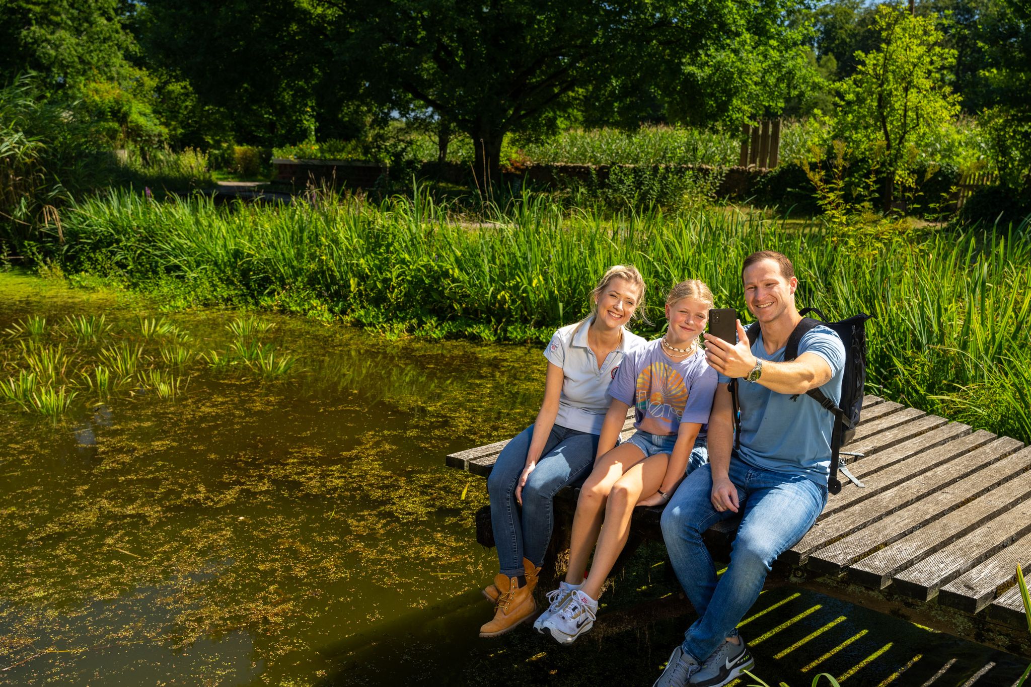
Hiking and discoveries – family walks in the Hohe Mark Nature Park

#GoFurther – discover the views of Germany!
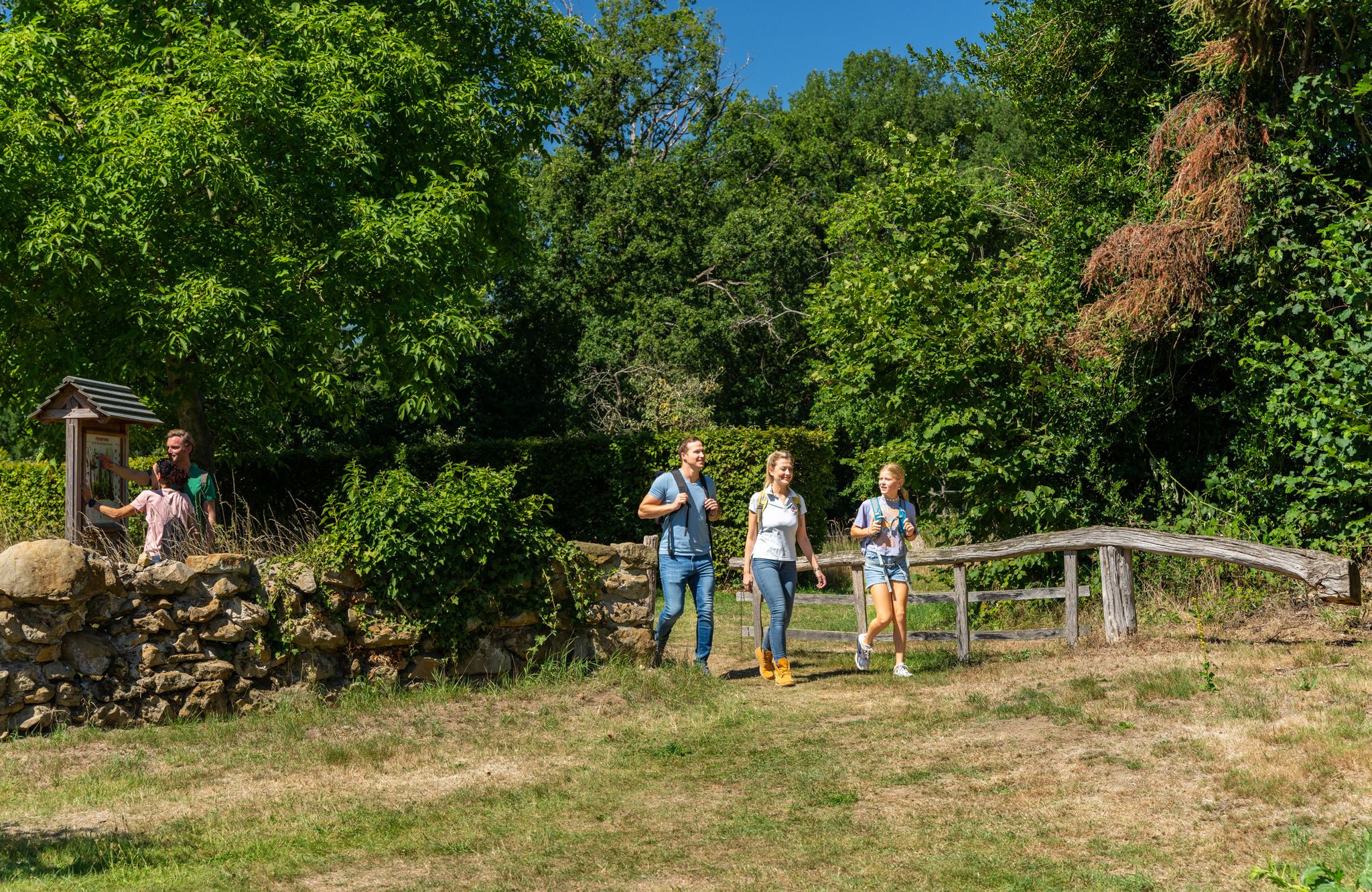
LandStreifer – circular hiking trails to Germany’s Hohe Mark Steig
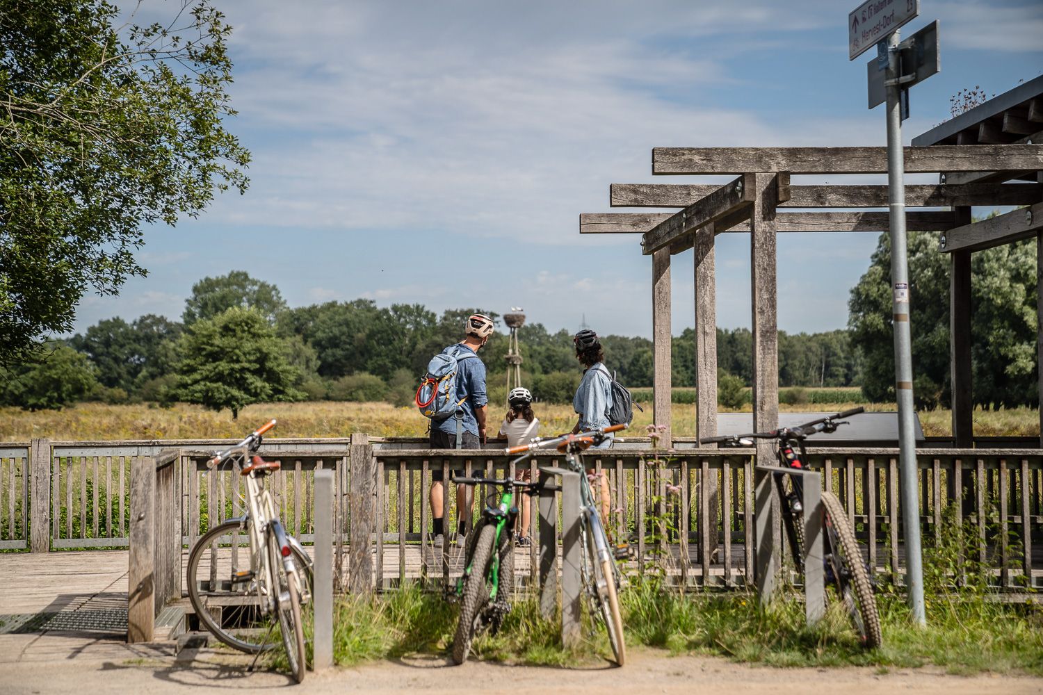
Day Tours on the Hohe Mark cycle route
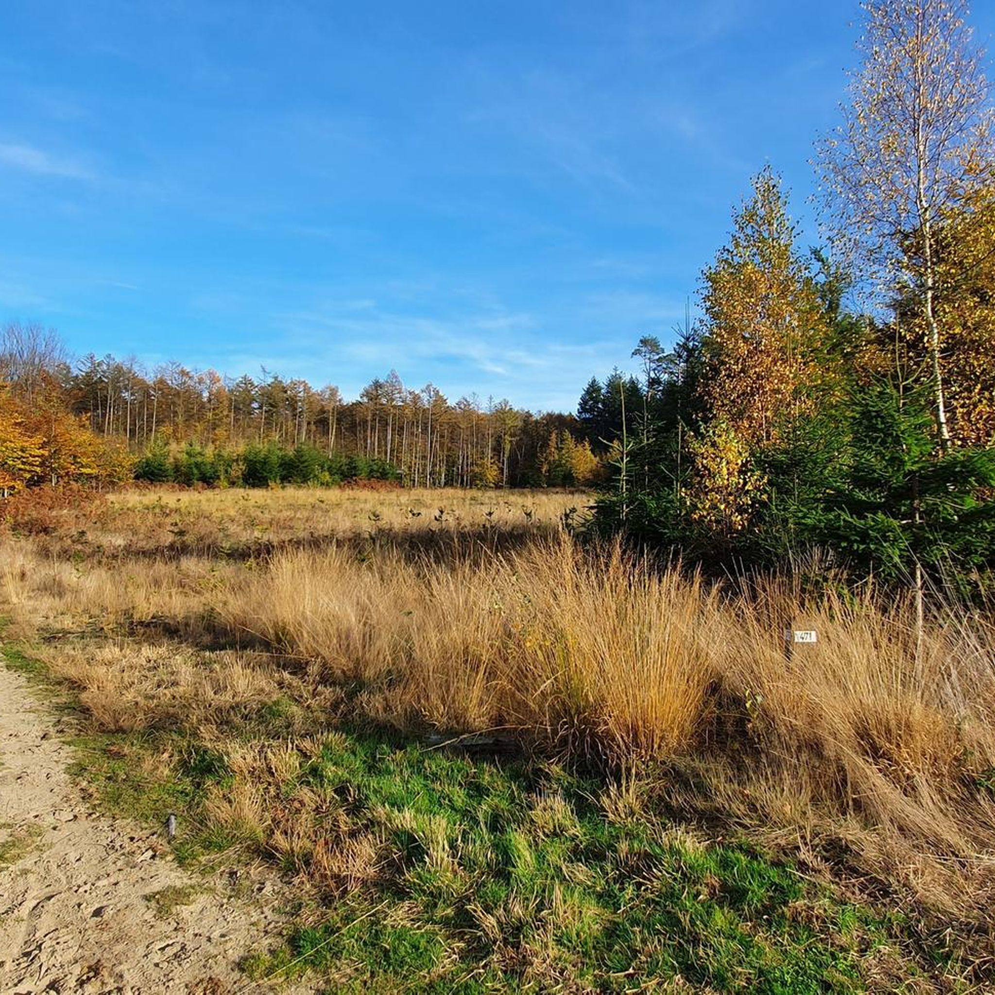
Hiking around Hohe Mark
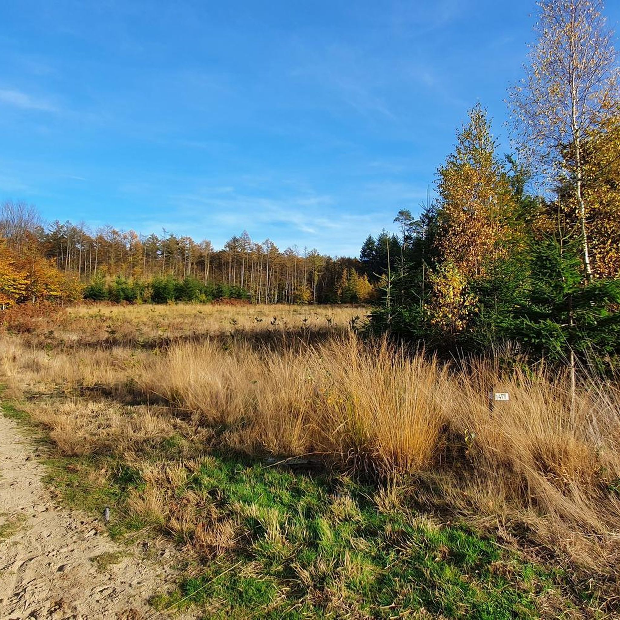
MTB Trails around Hohe Mark
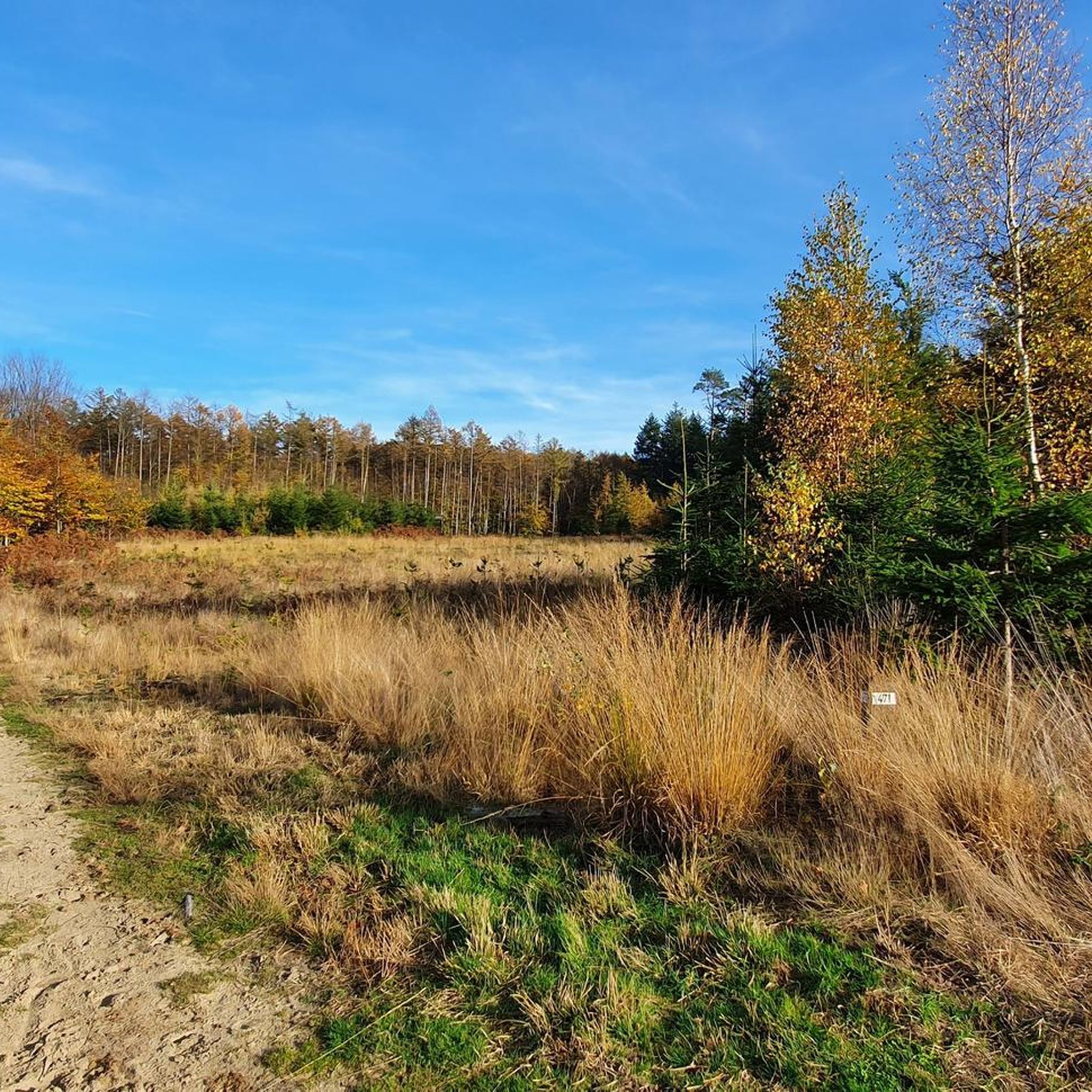
Cycling around Hohe Mark
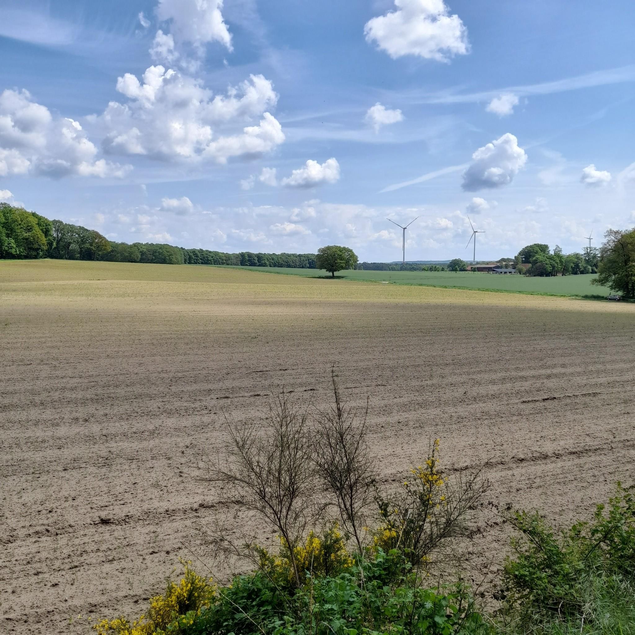
Running Trails around Hohe Mark
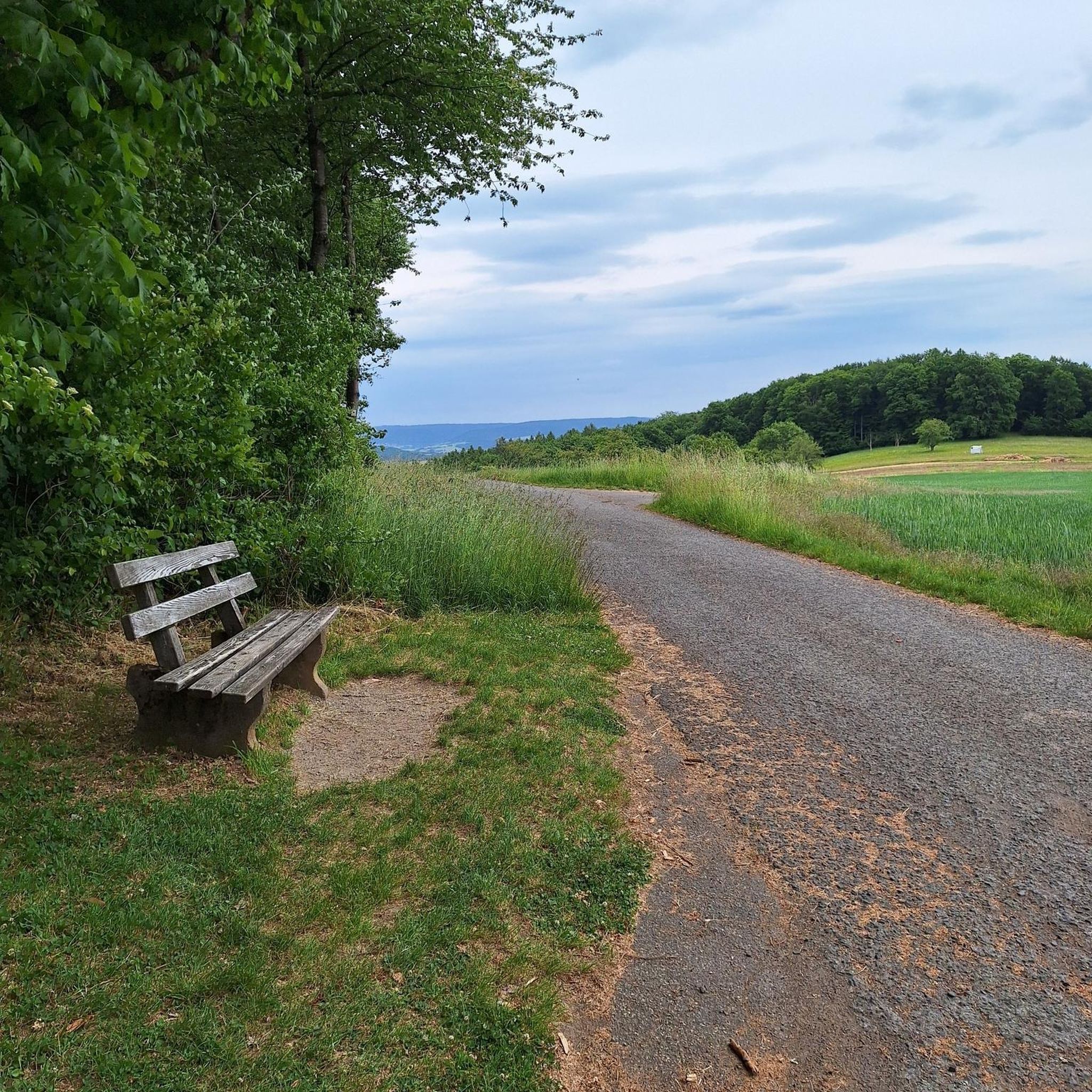
Gravel biking around Hohe Mark
Other adventures around Hohe Mark


Tips from the Community

Well-suited area for cycling
3
0

A super climb for training. Short and crisp alternative to the longer main road.
0
0

yes very nice great
2
0

Great route in the NSG with great surface, worthwhile destination
2
0
Beautiful route through the NSG on top asphalt
1
0
If you want to do the subsequent descent you have to go up first, which is a good opportunity to get your legs warm.
1
0

Schermbeck always brings something to your feet
2
1

This church in Erle has a patron saint's name that is truly on everyone's lips, but only a few will know the person behind it: Saint Sylvester's commemoration day is December 31st. He lived at the end of the third and beginning of the fourth century and was Bishop of Rome when Emperor Constantine recognized Christianity as a religion with the Edict of Milan - known as the "Edict of Toleration" - and thus ended (at least temporarily) the period of bloody persecution of Christians.
3
0
Frequently Asked Questions
How many road cycling routes are available in Hohe Mark?
Hohe Mark offers a wide selection of road cycling routes, with over 770 tours available. These include approximately 180 easy routes, nearly 590 moderate routes, and a few more challenging options, ensuring there's something for every skill level.
What kind of terrain can I expect when road cycling in Hohe Mark?
Road cycling in Hohe Mark features a diverse landscape. You'll encounter idyllic meadows, wetlands, heathland, and dense forests. While much of the terrain is relatively flat, offering accessible rides, some forested areas, particularly within the Hohe Mark and Weißen Venns, present hillier sections. The routes often include paved surfaces, with some unpaved segments.
Are there any scenic viewpoints or natural features to see along the road cycling routes?
Yes, Hohe Mark is rich in natural beauty. You can cycle past numerous lakes, ponds, and river landscapes, including the Lippe and Stever rivers. Highlights include the Holtwicker Juniper Heath, the White Venn – Geisheide, and the Haltern Witches' Beeches. The region also boasts nature reserves like the Lavesumer Bruch, offering varied scenery.
What cultural or historical landmarks can I explore while road cycling in Hohe Mark?
Many road cycling routes in Hohe Mark lead through charming Münsterland villages and historic towns. You'll find impressive castles and moated castles such as Schloss Raesfeld, Water Castle Anholt, and Gemen Youth Castle. The route Marbeck Station Monument – Heimathaus Marbeck loop from Lembeck, for instance, leads past historical landmarks characteristic of the region's cultural heritage.
Are there any family-friendly road cycling options in Hohe Mark?
Yes, Hohe Mark is well-suited for family-friendly road cycling, especially due to its extensive network of well-developed cycle paths and generally flat terrain. Many routes are designed for leisurely rides, allowing families to enjoy the picturesque landscapes together. The flexibility to shorten routes or choose specific stages also makes it adaptable for different family needs.
What is the best time of year for road cycling in Hohe Mark?
The best time for road cycling in Hohe Mark is typically from spring to autumn. During these seasons, the weather is generally mild and pleasant, making for comfortable rides. Spring brings blooming meadows, while autumn offers vibrant foliage. The region's diverse landscapes, including flowering heaths, are particularly beautiful during these times.
Are there any circular road cycling routes in Hohe Mark?
Yes, many road cycling routes in Hohe Mark are designed as loops, allowing you to start and end at the same point. A prominent example is the Hohe Mark Cycle Route, a 280 to 282-kilometer circular path that guides cyclists through diverse landscapes. Several routes listed in this guide, such as the Bollengraben Climb – View of Lavesum Fields loop from Holtwick, are also circular.
What do other road cyclists enjoy most about road cycling in Hohe Mark?
The Hohe Mark region is highly rated by the komoot community, with an average score of 4.5 stars from over 1000 reviews. Road cyclists often praise the varied terrain, which includes idyllic meadows, wetlands, and forests, as well as the extensive network of well-developed cycle paths. The opportunity to discover natural features and cultural landmarks is also frequently highlighted.
Can I observe wildlife while road cycling in Hohe Mark?
Absolutely. Hohe Mark is home to numerous nature reserves, providing opportunities to experience diverse flora and fauna. Cyclists might encounter fallow deer and red deer in the Dülmen Game Park, wild horses in Merfeld, water buffalo in the Hervester Bruch, and donkeys and Konik horses in the Steverauen. The Torfvennteich Birdwatching Hut is also a great spot for birdwatching.
Are there options for longer, multi-day road cycling tours?
Yes, the Hohe Mark Cycle Route, a prominent 280 to 282-kilometer circular path, is ideal for multi-day tours. It is well-signposted and offers the flexibility to shorten routes or choose specific stages, making it adaptable for various tour lengths and preferences. The region's infrastructure supports longer trips, with amenities available in the towns and villages along the way.
Where can I find information about parking and public transport access for road cycling routes?
While specific parking and public transport details for individual trailheads are best checked locally, the Hohe Mark region is situated between Münsterland, the Lower Rhine, and the Ruhr area, making it accessible. Many routes pass through or near towns and villages where parking facilities are typically available. For detailed information on reaching the region, you might find resources on the official tourism website for Haltern am See: haltern-tourismus.de.
Are there any challenging road cycling routes in Hohe Mark?
While much of Hohe Mark is relatively flat, there are sections that offer more challenge. Some forested areas, particularly in the Hohe Mark and Weißen Venns, present hillier sections with climbs. For example, the Bollengraben Climb – View of Lavesum Fields loop from Holtwick is a moderate route that features a notable climb, providing a good workout for road cyclists seeking more elevation.
Most popular routes around Hohe Mark
Most popular attractions around Hohe Mark

Get inspired with the komoot mobile app


Explore more
Browse the best Road cycling routes in other regions.
