The best MTB trails around Morton Grove
5.0
(19)
45
riders
10
rides
Mountain biking around Morton Grove, Illinois, primarily features flat, accessible trails that follow river corridors and urban greenways. The region is characterized by its low elevation and extensive network of multi-use paths, often alongside waterways like the Des Plaines River and North Shore Channel. These routes offer smooth surfaces suitable for various mountain biking styles, connecting natural areas with suburban landscapes. The terrain is generally level, with minimal elevation changes, making it suitable for riders seeking longer distances without significant climbs.
Best mountain bike trails around Morton Grove
- The most popular mountain bike trail is Des Plaines River Trail, a 35.8 miles (57.6 km) trail that takes 4 hours 5 minutes to complete. This moderate route follows the river, offering a long, continuous path through varied scenery.
- Another top favourite among local mountain bikers is North Branch and North Shore Channel Trail Loop, a moderate 29.5 miles (47.5 km) path. This loop connects two significant waterways, providing a diverse urban and natural landscape.
- Local mountain bikers also love the Valley Line Trail, a 7.2 miles (11.6 km) trail leading through suburban green spaces, often completed in about 33 minutes.
- Mountain biking around Morton Grove is defined by river-side paths, channel loops, and flat urban greenways. The network offers options for both easy, shorter rides and longer, moderate distance challenges.
- The routes in Morton Grove are highly rated by the komoot community with an average score of 4.6 stars from over 20 reviews. More than 30 mountain bikers have used komoot to explore Morton Grove's varied terrain.
Last updated: July 2, 2026
5.0
(1)
5
riders
57.6km
04:05
90m
90m
Mountain biking the Des Plaines River Trail offers a moderate 35.8-mile ride through diverse landscapes in Cook and Lake County.
5.0
(5)
5
riders
23.7km
01:41
30m
30m
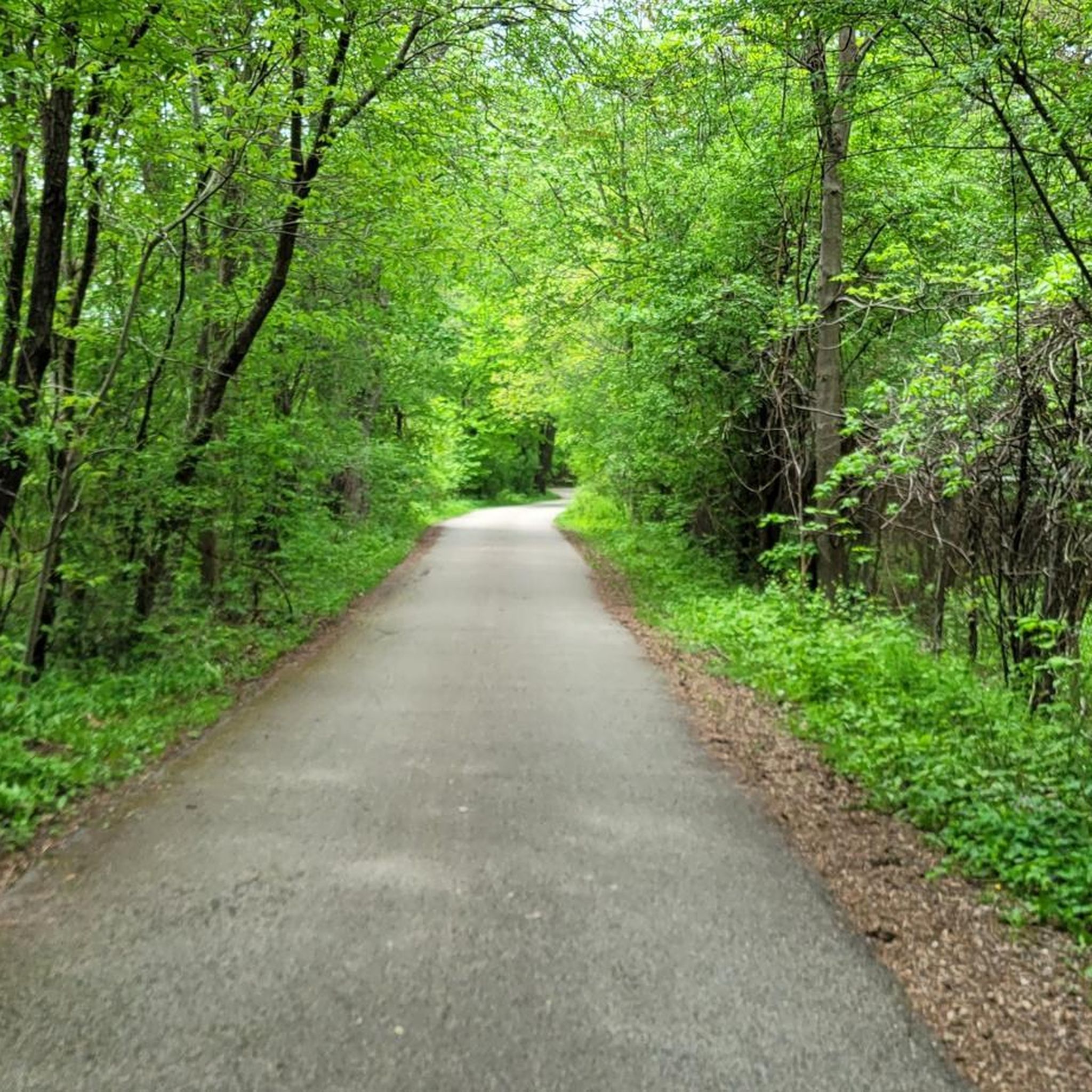
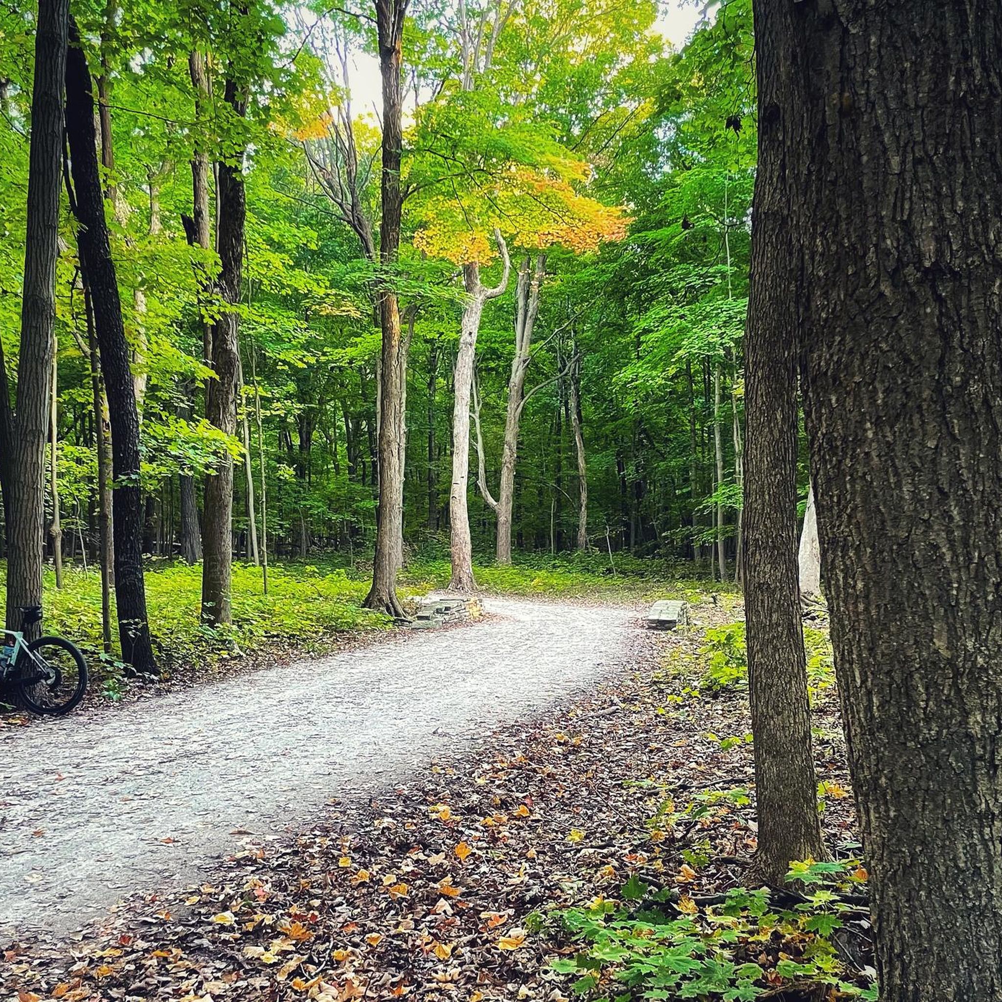
The Des Plaines River Trail is a true Chicagoland gem, offering a serene mountain biking escape through a varied landscape of woodlands, wetlands, and prairies. You'll ride alongside the Des Plaines River, with sections of gravel, dirt, and even some singletrack, passing through beautiful spots like Algonquin Woods. It's an easy 14.7-mile (23.7 km) route with a gentle 90 feet (27 metres) of elevation gain, typically taking around 1 hour and 41 minutes, making it perfect for a leisurely ride or a longer exploration.
This multi-use trail is highly accessible with many entry points along its extensive 50-mile length. While largely flat and beginner-friendly, be aware that some underpasses and low-lying sections can become very muddy or even impassable after heavy rains, so checking conditions before you go is a good idea. It's a popular spot, so expect to share the path with other cyclists, walkers, and occasionally horseback riders.
What makes the Des Plaines River Trail stand out is its ability to transport you into a remote natural setting despite its proximity to a major urban area. It's a fantastic place for wildlife spotting, with deer, turtles, and various bird species often seen. The trail's diverse habitats and continuous connection to forest preserves make it a vital green corridor and a cherished natural resource for the region.

Sign up for free
5.0
(2)
2
riders
47.5km
02:25
70m
70m
The North Branch and North Shore Channel Trail Loop offers a varied biking experience, predominantly on paved multi-use paths, but with delightful unpaved sections for mountain bikers seeking a casual off-road feel. As you ride, you'll pass through the peaceful Linne Woods Preserve and alongside the scenic Skokie Lagoons, often spotting deer accustomed to human presence. The North Shore Channel Trail section is particularly unique, featuring the Skokie Northshore Sculpture Park with its numerous art installations.
This moderate 29.5-mile (47.5 km) loop, with a gentle 237 feet (72 metres) of elevation gain, can be completed in about 2 hours and 24 minutes. It's an excellent choice for recreational cyclists and mountain bikers who prefer smooth cruising with occasional dirt path detours rather than technical singletrack. The trail is highly accessible with many parking areas and even Metra station access, making it easy to plan your starting point.
What truly sets this route apart is its blend of natural beauty, cultural elements, and extensive connectivity within the Chicago area. It links various trails and even provides access to the Chicago Botanic Garden, allowing you to cycle through without admission. The trail's diverse scenery, from winding forest paths to open green spaces adorned with art, ensures a consistently engaging ride.
40.8km
02:06
60m
60m
The North Branch and North Shore Channel Trail Loop offers a fantastic blend of urban convenience and natural beauty, perfect for a varied mountain biking outing. You'll pedal through lush forest preserves, alongside the North Branch of the Chicago River and the Skokie Lagoons, and even past the intriguing Skokie Northshore Sculpture Park. The terrain shifts from smooth paved sections to compacted gravel and dirt, providing a dynamic ride that keeps things interesting.
This moderate 25.3-mile (40.8 km) loop, with a gentle 195 feet (59 metres) of elevation gain, can be completed in about 2 hours and 6 minutes. While mostly flat, some unpaved segments, like the "North Branch Unpaved Trail #17," feature small gradual climbs and log rollovers, adding a touch of technical challenge. It's an ideal route for gravel bikes or hardtail mountain bikes, allowing you to enjoy both speed on pavement and the feel of dirt under your tires.
What makes this trail stand out is its ability to deliver an accessible off-road experience right within a suburban setting. It's a great option for those who want to mix up their rides, connecting scenic natural areas with unique cultural elements. The trail system's extensive network also provides opportunities to link up with other routes for longer, more adventurous journeys.
11.6km
00:34
10m
10m
The Valley Line Trail in Chicago is an easy, 7.2-mile paved path, ideal for casual cycling and walking, not traditional mountain biking.
Get access to more routes and recommendations from other explorers.
Sign up for free
Already have an account?
Our route recommendations are based on thousands of hikes, rides, and runs completed by other people on komoot.
Start today with a free account
Your next adventure awaits.
Login or Signup


Tips from the Community

Just easy walk. No special equipment required. Good and comfortable shoes only😁
0
0

Practice area with small and large obstacles. Use at your own risk!
1
0
Beautiful sculpture park by various artists
0
0

The Skokie Valley Trail, a 4.5-mile route commencing at Dempster–Skokie station on the CTA’s Yellow Line and concluding at Bryn Mawr Avenue. This trail, deemed an easy path, spans through scenic landscapes, catering to birding enthusiasts, and those keen on biking, running, and hiking. Future plans involve expanding the trail's reach, totaling an anticipated 10 miles. Additionally, convenient connections to residential sidewalks and proximity to the Illinois Science and Technology Park enhance the trail's accessibility and appeal.
0
0

The Edward L Ryerson Nature Preserve is a safe haven for a number of different plant and animal species. It has been noted that over 150 bird species and almost 600 different species of flowering plants reside within the preserve.
0
0
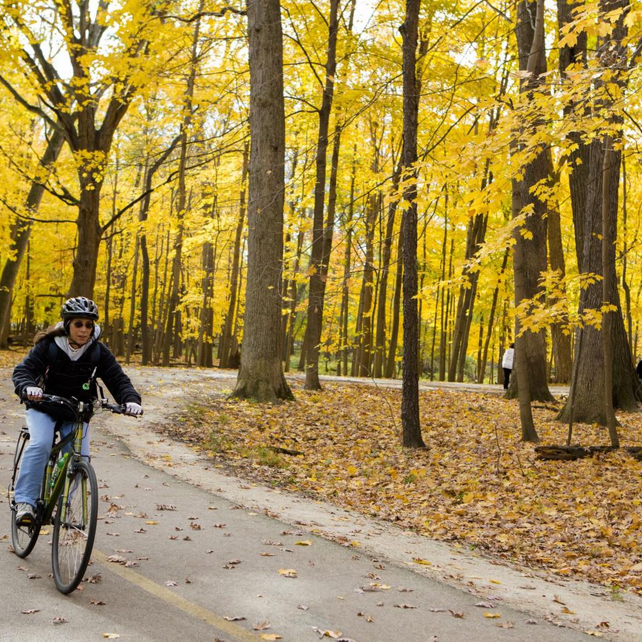
Experience the tranquil charm of Algonquin Woods, a cherished nature preserve celebrated for its unspoiled beauty. This enchanting sanctuary, intertwined with the Des Plaines River trail, unveils a lush forest. The captivating allure of tree-covered paths reaches its pinnacle during the fall, offering a refreshing retreat from the suburban cityscape.
0
0

The Des Plaines River Trail is over a 31-mile gravel path that runs through 12 forest preserves as it makes its way from the Cook County Forest Preserve to the end of Lake County.
1
1
Experience the tranquil charm of Algonquin Woods,a cherished nature preserve celebrated for its unspoiled beauty. This enchanting sanctuary, intertwined with the Des Plaines River trail, unveils a lush forest. The captivating allure of tree-covered paths reaches its pinnacle during the fall, offering a refreshing retreat from the suburban cityscape.
0
0
Frequently Asked Questions
What are the typical difficulty levels for mountain bike trails in Morton Grove?
The mountain bike trails around Morton Grove are predominantly flat and accessible, with minimal elevation changes. You'll find a good mix of easy and moderate routes. Out of the 11 available tours, 4 are rated as easy and 7 as moderate, making the area suitable for a wide range of riders.
Are there family-friendly mountain bike trails in Morton Grove?
Yes, many of the trails in Morton Grove are suitable for families due to their generally flat terrain and multi-use path design. Routes like the Valley Line Trail, which is 7.2 miles long and rated easy, offer a pleasant experience for riders of all ages and skill levels.
What are some of the longer mountain bike trails around Morton Grove?
For longer rides, the Des Plaines River Trail offers a substantial 35.8 miles (57.6 km) of riding along the river. Another excellent option is the North Branch and North Shore Channel Trail Loop, which covers 29.5 miles (47.5 km) and connects two significant waterways.
Are there loop mountain bike trails available in Morton Grove?
Yes, loop trails are a popular option in the area. The North Branch and North Shore Channel Trail Loop is a prime example, offering a 29.5-mile circuit that provides diverse urban and natural scenery.
When is the best time of year for mountain biking in Morton Grove?
The best time for mountain biking in Morton Grove is typically from spring through fall (April to October) when the weather is mild and the trails are dry. The region's flat terrain means trails are generally less affected by heavy rains compared to more mountainous areas, but checking local conditions is always recommended.
What interesting places can I explore near the mountain bike trails?
While mountain biking, you can explore several nearby attractions. Along the trails, you might encounter natural beauty like Skokie Lagoon No. 3. Other notable landmarks in the vicinity include the impressive Baháʼí House of Worship Wilmette and the historic Grosse Point Lighthouse.
What do other mountain bikers say about the trails in Morton Grove?
The mountain bike trails in Morton Grove are highly regarded by the komoot community, with an average rating of 4.6 stars from over 20 reviews. Riders often praise the smooth surfaces, the scenic river corridors, and the accessibility of the multi-use paths that connect natural areas with suburban landscapes.
Is parking available at the Morton Grove mountain bike trails?
Parking availability varies by trailhead. Many of the larger trail systems, especially those along the Des Plaines River and North Shore Channel, have designated parking lots. It's advisable to check specific route details on komoot or local park district websites for precise parking information before you head out.
Are there mountain bike trails near Morton Grove accessible by public transport?
Given Morton Grove's suburban location and the nature of its urban greenways, some trailheads may be accessible via local public transport options, particularly bus routes. For specific access points, it's best to consult local transit maps and plan your journey accordingly.
Are there mountain bike trails with jumps or technical features near Morton Grove?
The mountain bike trails in Morton Grove are characterized by their flat terrain and smooth, multi-use paths, primarily following river corridors and urban greenways. They are generally not designed with jumps or significant technical features. Riders seeking such elements might need to explore dedicated bike parks or more rugged trail systems outside the immediate Morton Grove area.
How can I check the current mountain biking trail conditions in Morton Grove?
For the most up-to-date trail conditions, it's recommended to check local park district websites or social media channels, as they often provide real-time updates on closures or maintenance. Additionally, the komoot community sometimes shares recent trail observations in tour comments.
Are there cafes or places to eat near the mountain bike trails?
As the trails often pass through or near suburban areas, you'll find various cafes, restaurants, and convenience stores in the towns adjacent to the trailheads. For specific recommendations, it's best to check maps of the towns along your chosen route, such as Morton Grove, Skokie, or Glenview.
Most popular routes around Morton Grove
Most popular attractions around Morton Grove

Get inspired with the komoot mobile app


Explore more
Browse the best MTB trails in other regions.
