The best cycling routes around Cicero
4.6
(81)
1,390
riders
64
rides
Touring cycling routes around Cicero traverse a landscape characterized by urban parks, river trails, and wooded areas. The region offers a mix of paved paths and natural surfaces, suitable for various cycling preferences. Elevations are generally low, providing accessible routes for most riders. The network of trails often follows waterways like the Des Plaines River and North Shore Channel, connecting green spaces within the metropolitan area.
Best touring cycling routes around Cicero
- The most popular touring cycling route is McCormick Bird Sanctuary – Buckingham Fountain loop from Kedzie, a 52.2 miles (83.9 km) trail that takes 4 hours 48 minutes to complete. This route connects significant urban landmarks and natural areas.
- Another top favourite among local touring cyclists is Catherine Chevalier Woods – Des Plaines River Trail loop from River Forest, a moderate 23.6 miles (37.9 km) path. This trail offers scenic views along the river and through wooded sections.
- Local touring cyclists also love the North Shore Channel – Directing Traffic Sculpture loop from Western Avenue, a 28.0 miles (45.0 km) trail leading through urban greenways and along the North Shore Channel, often completed in about 2 hours 35 minutes.
- Touring cycling around Cicero is defined by accessible river trails, urban parks, and suburban wooded areas. The network offers options for both easy and moderate ability levels, with more than 30 easy touring bike trails near Cicero.
- The routes in Cicero are highly rated by the komoot community with an average score of 4.8 stars from over 70 reviews. More than 1200 touring cyclists have used komoot to explore Cicero's varied terrain.
Last updated: July 2, 2026
5.0
(1)
25
riders
48.2km
02:47
80m
80m
The Brookfield Woods – Salt Creek loop from Harlem/Lake offers a delightful touring cycling experience, guiding you through a serene natural environment. You'll pedal along mostly paved paths, often 8-12 feet wide, that wind through picturesque forest preserves like Brezina Woods and Fullersburg Woods. The route closely follows the Salt Creek, providing tranquil views and chances to observe local wildlife, including deer and herons, making it a peaceful escape from city life. This moderate 29.9-mile (48.1 km) journey, with a gentle 259 feet (79 metres) of elevation gain, takes about 2 hours and 46 minutes to complete.
When planning your ride, be aware that certain sections of the Salt Creek Trail are susceptible to flooding after heavy rains, particularly under bridges, which can lead to unexpected closures. You will also encounter road crossings, some of which lack traffic lights, so stay alert and cautious. Construction under the I-294 bridge is expected to continue through December 2026, potentially causing intermittent closures without detours. The trail is popular and shared with pedestrians, so be mindful of others and any posted speed limits.
This cycling route is a key part of the extensive Salt Creek Greenway Trail, which spans approximately 25 miles and connects to a larger 210-mile integrated trail network in northeast Illinois. This connectivity makes it an excellent option for longer touring adventures or for linking up with other trails like the Illinois Prairie Path. The trail also passes near points of interest such as the Brookfield Zoo, adding to its appeal as a family-friendly cycling route.
5.0
(1)
16
riders
47.3km
02:49
80m
80m
The Brookfield Woods – Salt Creek loop offers a serene and varied touring cycling experience, guiding you through beautiful county forest preserves and natural areas. This moderate 29.4-mile (47.3 km) route, with a gentle 262 feet (80 metres) of elevation gain, takes approximately 2 hours and 49 minutes to complete. You'll find a mix of paved and crushed limestone surfaces, with the section west from 26th Street along Salt Creek standing out as particularly scenic, offering chances to spot deer and various bird species.
This accessible route is suitable for all skill levels, making it a great option for family friendly cycling. However, be mindful of potential flooding near the creek during wet seasons and intermittent closures under the Tri-State Tollway (I-294) bridge until December 2026. Cyclists should also exercise caution at busy street junctions that may not have traffic signals, especially given the trail's popularity on weekends.
The Brookfield Woods – Salt Creek loop is a key part of the larger Salt Creek Greenway Trail, connecting to an extensive 210-mile integrated trail network in northeast Illinois. It provides convenient access to several forest preserves and links to other significant trail systems like the Illinois Prairie Path and the Great Western Trail, highlighting its importance as a regional cycling artery.

Sign up for free
5.0
(2)
23
riders
39.1km
02:23
70m
70m
Embark on the Illinois Prairie Path loop from Harlem/Lake for a touring cycling adventure that transitions from urban landscapes to serene natural settings. This moderate route, spanning 24.3 miles (39.1 km) with a gentle 242 feet (74 metres) of elevation gain, offers a journey through varied scenery, from residential streets to recreated prairie restorations and wooded sections. You'll pass by the historic Villa Park Historical Society Museum, a charming former train depot, and enjoy the changing atmosphere as the path leads you further into the suburbs. Expect a ride that takes around 2 hours and 22 minutes, perfect for a leisurely exploration.
Accessing the trail near Harlem/Lake is straightforward, with public transport options like the CTA Blue Line Forest Park station nearby. The path's surface is predominantly crushed limestone, which is ideal for touring bikes with wider tires, though it can be slower than paved surfaces and might be soft after rain. Navigating the initial urban sections requires some vigilance due to street crossings and less distinct markings, but the route becomes more consistent as you head west. Consider the weather, especially recent rainfall, to ensure the best riding conditions.
The Illinois Prairie Path holds a significant place in American history as the nation's first successful "rail-to-trail" conversion, inspired by naturalist May Theilgaard Watts in the 1960s. This pioneering effort transformed an abandoned railroad right-of-way into a multi-use trail, setting a model for similar projects nationwide. The path connects numerous western suburbs of Chicago and is part of a larger regional network, linking to other major trails like the Great Western Trail and Fox River Trail, offering extensive cycling opportunities.
4.7
(3)
14
riders
25.4km
01:32
50m
50m
The Illinois Prairie Path – Illinois Prairie Path loop from Oak Park offers a delightful touring bicycle experience, guiding you through a landscape that gradually shifts from suburban to natural. You'll primarily ride on a smooth crushed limestone surface, passing through native prairie restorations and forest preserves, with the option to connect to charming river towns further along the extensive network. This easy 15.8-mile (25.4 km) route, with just 147 feet (45 metres) of elevation gain, can be completed in about 1 hour and 32 minutes, making it a perfect choice for a relaxed ride.
Starting from Oak Park, you'll find convenient access to the Illinois Prairie Path's Main Branch via Maywood or Forest Park. The Forest Park Blue Line stop provides direct public transport access, and Lake Street in Oak Park also connects to the trail. The well-maintained crushed limestone surface is ideal for touring bicycles, and the path's gentle grades make it accessible for cyclists of all levels, even after light rain.
This route is part of the historic Illinois Prairie Path, recognized as the first successful rail-to-trail conversion in the United States, sparking a national movement. Its extensive 61-mile network connects numerous communities and natural areas, offering diverse Illinois Prairie Path cycling routes from Oak Park and linking to other significant trails like the Fox River Trail for longer adventures. Look out for interpretive signs detailing the path's unique natural features and history.
5.0
(1)
10
riders
35.7km
02:35
60m
60m
Moderate bike ride. Good fitness required. Mostly paved surfaces. Suitable for all skill levels.
Get access to more routes and recommendations from other explorers.
Sign up for free
Already have an account?
Our route recommendations are based on thousands of hikes, rides, and runs completed by other people on komoot.
Start today with a free account
Your next adventure awaits.
Login or Signup



Tips from the Community

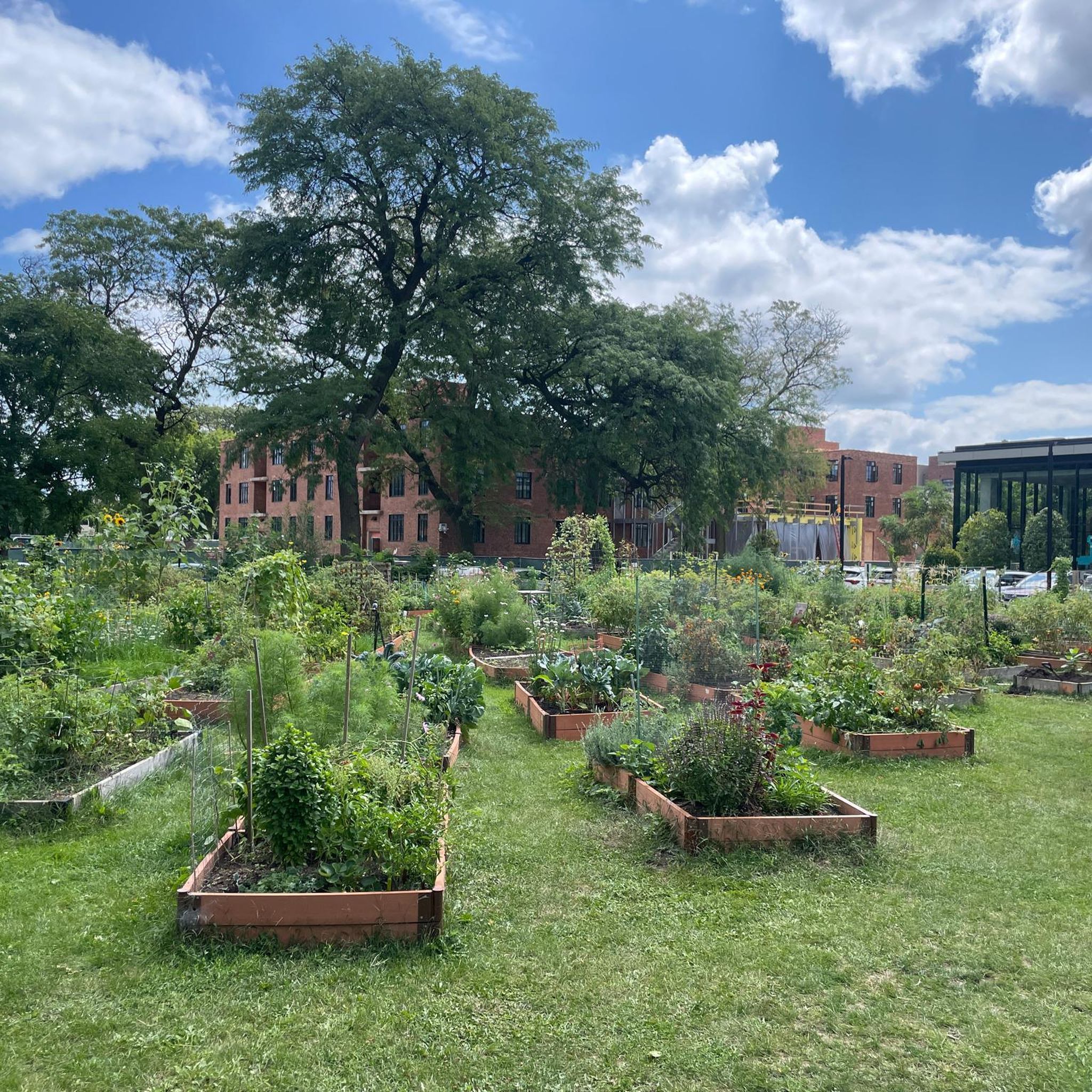
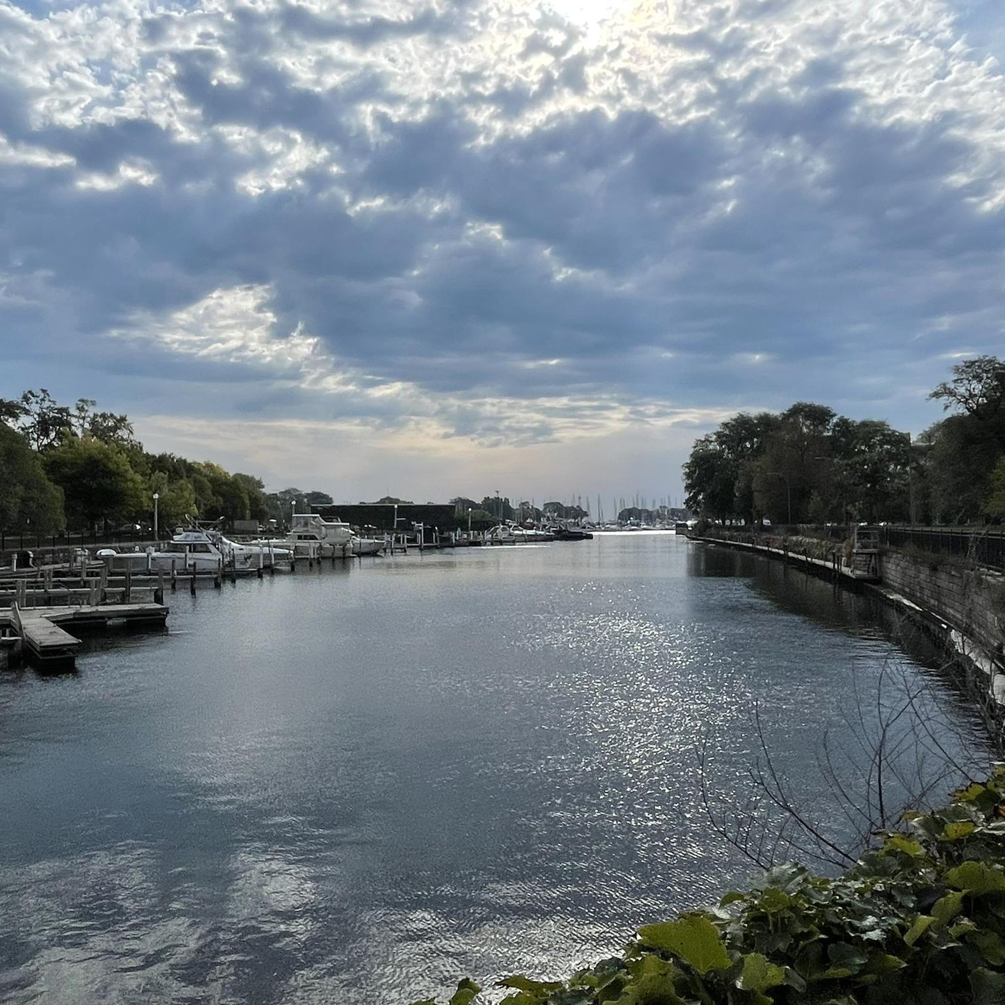
This is one of the many forest preserves along the Des Plaines River Trail. There are picnic tables, bathrooms and parking for trail access here. You can enjoy some great views of the river from here as well.
0
0

The Illinois Prairie Path is an almost 60-mile long multiuse trail that runs from Forest Park to Elgin. The trail is mostly gravel and is popular with hikers, runners and cyclists. This section of the trail runs through beautiful green space.
0
0
Eastern trailhead for the Night Heron Trail, an almost 3-mile loop trail that takes you through the Fullersburg Woods Forest Preserve. The trailhead had picnic tables, parking, and restrooms.
0
0

The house is really beautiful and full of history. there's a little plac in front of the house that explains the history of the house. I would definitely recommend running by.
0
0

It is a masterpiece I invite you to see with your own eyes. Very special…
2
0
Very nice neighborhood to be and most of the houses around were design by Frank Lloyd..
6
0

Frequently Asked Questions
How many touring cycling routes are available around Cicero?
There are over 40 touring cycling routes around Cicero, offering a variety of experiences for different skill levels. You'll find a good mix of urban park trails, river paths, and routes through wooded areas.
Are there easy touring cycling routes suitable for beginners in Cicero?
Yes, Cicero offers plenty of options for beginners. Over 30 of the touring cycling routes are classified as easy, featuring generally low elevations and well-maintained paths. These routes are perfect for a relaxed ride.
What is the best time of year for touring cycling in Cicero?
The best times for touring cycling in Cicero are typically spring and fall. During these seasons, the weather is mild and comfortable, ideal for exploring the urban parks and river trails. Summer can be pleasant, but be prepared for warmer temperatures, especially on exposed sections. Winters often bring snow and ice, making cycling less suitable.
Are there family-friendly touring bike routes in Cicero?
Many of Cicero's touring cycling routes are suitable for families, especially the easier, flatter paths that follow waterways or wind through parks. These routes often have minimal elevation changes and are generally safe for riders of all ages. Consider routes that stick to dedicated bike paths away from heavy traffic.
What kind of terrain can I expect on touring cycling routes around Cicero?
Touring cycling routes around Cicero primarily feature a mix of paved paths and natural surfaces. You'll encounter trails along waterways like the Des Plaines River and North Shore Channel, as well as routes through urban parks and suburban wooded areas. Elevations are generally low, making for accessible and enjoyable rides.
Are there any circular touring bike routes in Cicero?
Yes, many of the touring cycling routes around Cicero are designed as loops, allowing you to start and end at the same point. For example, the Brookfield Woods – Salt Creek loop from Harlem/Lake is a moderate 48.2-mile circular route that offers scenic views.
What are some interesting places to explore along the touring cycling routes?
Cicero's touring cycling routes can lead you to various points of interest. Depending on your chosen route, you might pass by significant urban landmarks and cultural sites. Notable attractions in the wider area include the iconic Willis Tower, the historic Kinzie Street Railroad Bridge, or the Harold Washington Library Center. Many routes also offer access to green spaces and river views.
What do other touring cyclists enjoy most about cycling in Cicero?
The touring cycling experience in Cicero is highly rated by the komoot community, with an average score of 4.8 stars from over 70 reviews. Cyclists often praise the accessible river trails, the variety of urban parks, and the well-connected network of paths that allow for diverse rides. The low elevation changes are also frequently highlighted as a positive aspect.
Are there any routes that offer a good balance of nature and urban sights?
Absolutely. Routes like the McCormick Bird Sanctuary – Buckingham Fountain loop from Kedzie offer a fantastic blend, connecting natural areas with significant urban landmarks. Similarly, the North Shore Channel – Directing Traffic Sculpture loop from Western Avenue takes you through urban greenways while following the scenic North Shore Channel.
Where can I find parking and access points for touring bike trails in Cicero?
Many of the touring cycling routes in Cicero are accessible from various points within urban parks and along river trails. Specific parking information can often be found on individual route pages or local park district websites. Public transport options are also available to reach many starting points, especially for routes closer to the city center.
What should I bring for a touring bike ride in Cicero?
For a touring bike ride in Cicero, it's advisable to bring water, snacks, a basic repair kit (including a spare tube and pump), and appropriate weather-dependent clothing. Sunscreen and a helmet are also highly recommended. Given the mix of urban and natural settings, a phone for navigation and emergencies is always a good idea.
Can I find coffee shops or places to refuel along the bike paths?
Given Cicero's urban and suburban setting, you'll often find opportunities to refuel near the bike paths, especially where routes pass through or near commercial areas. Many routes are integrated into the wider metropolitan area, providing access to coffee shops, cafes, and convenience stores for breaks and refreshments.
Most popular attractions around Cicero

Get inspired with the komoot mobile app


Explore more
Browse the best Cycling routes in other regions.
