The best running trails around StadtForest Muttental
4.4
(2500)
38,123
runners
697
runs
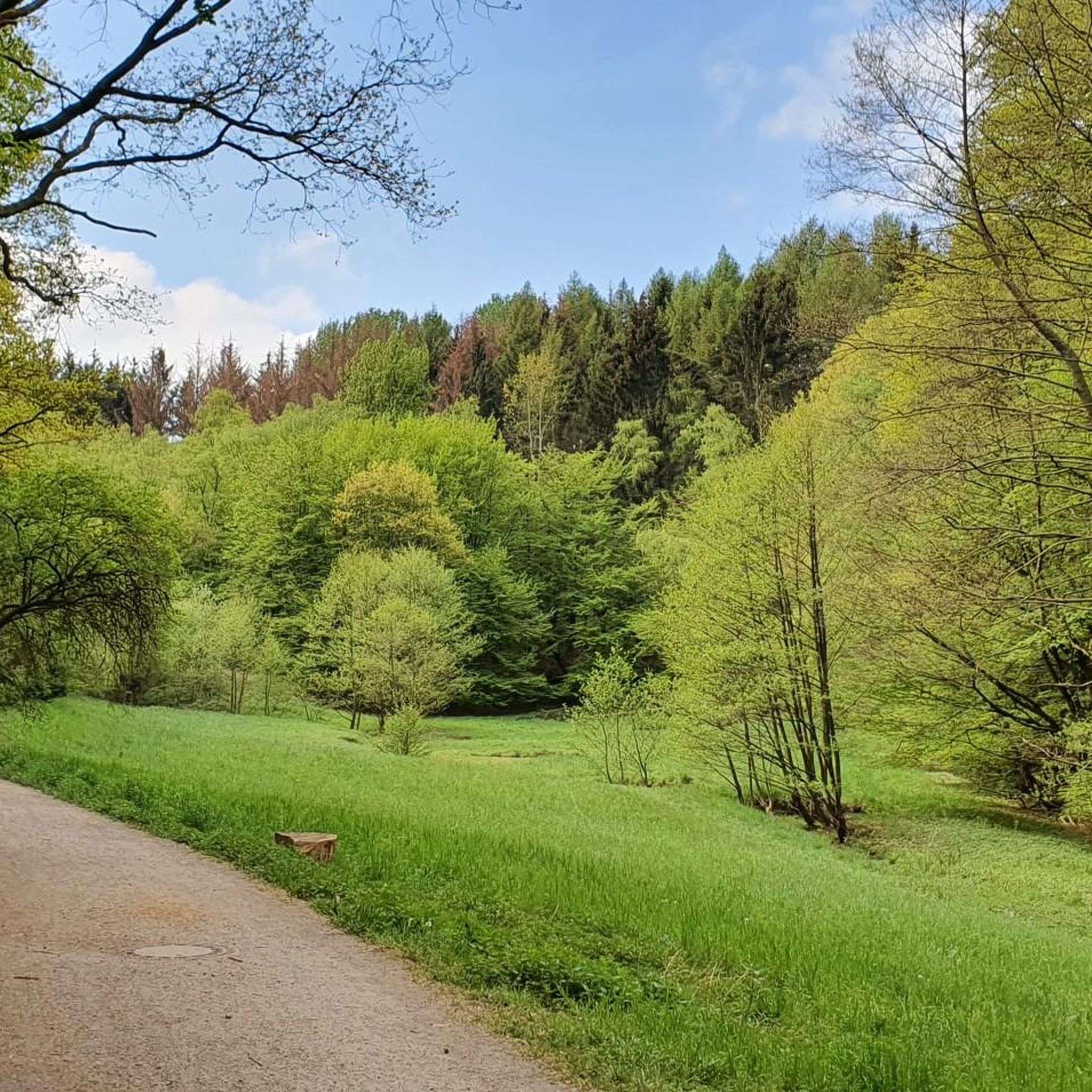
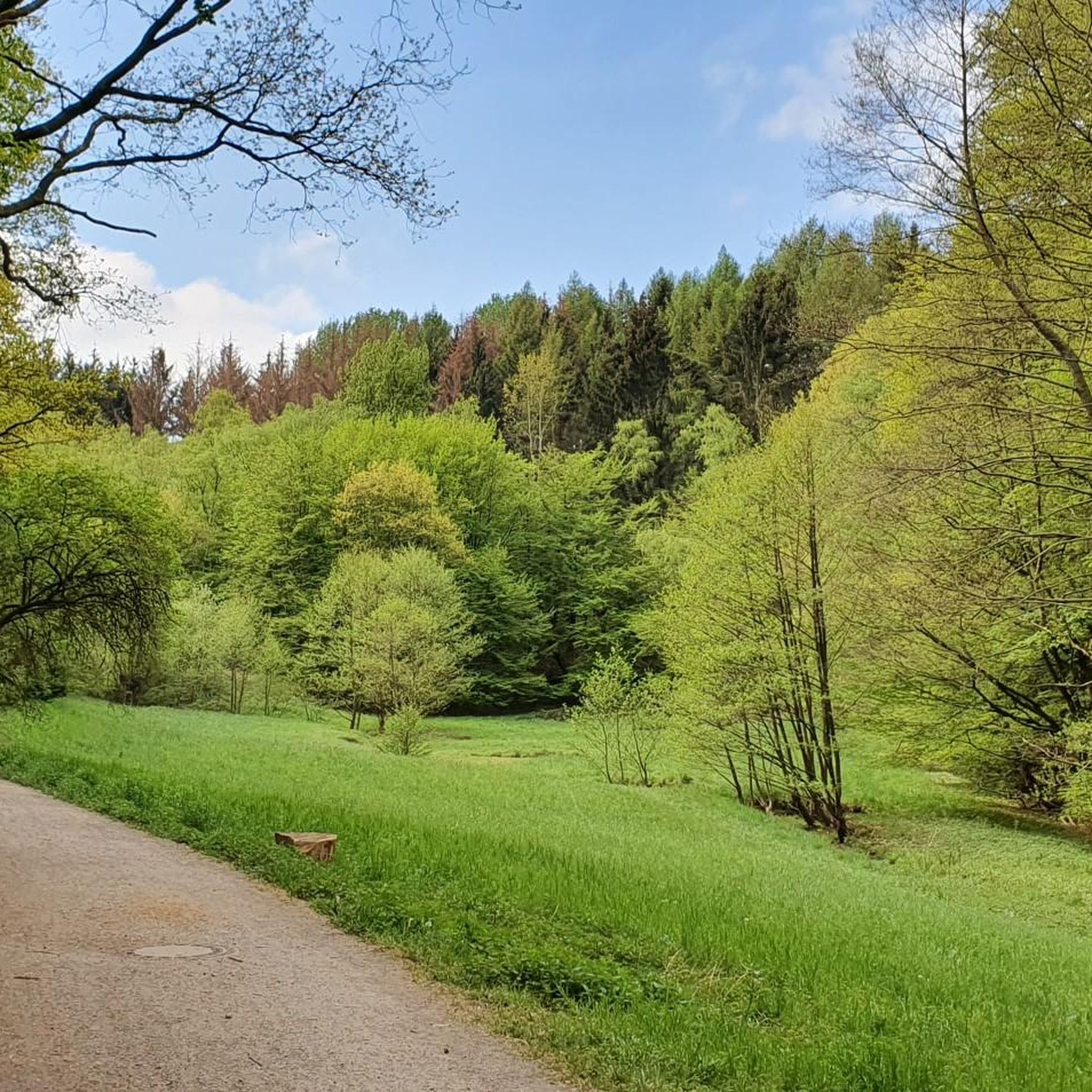
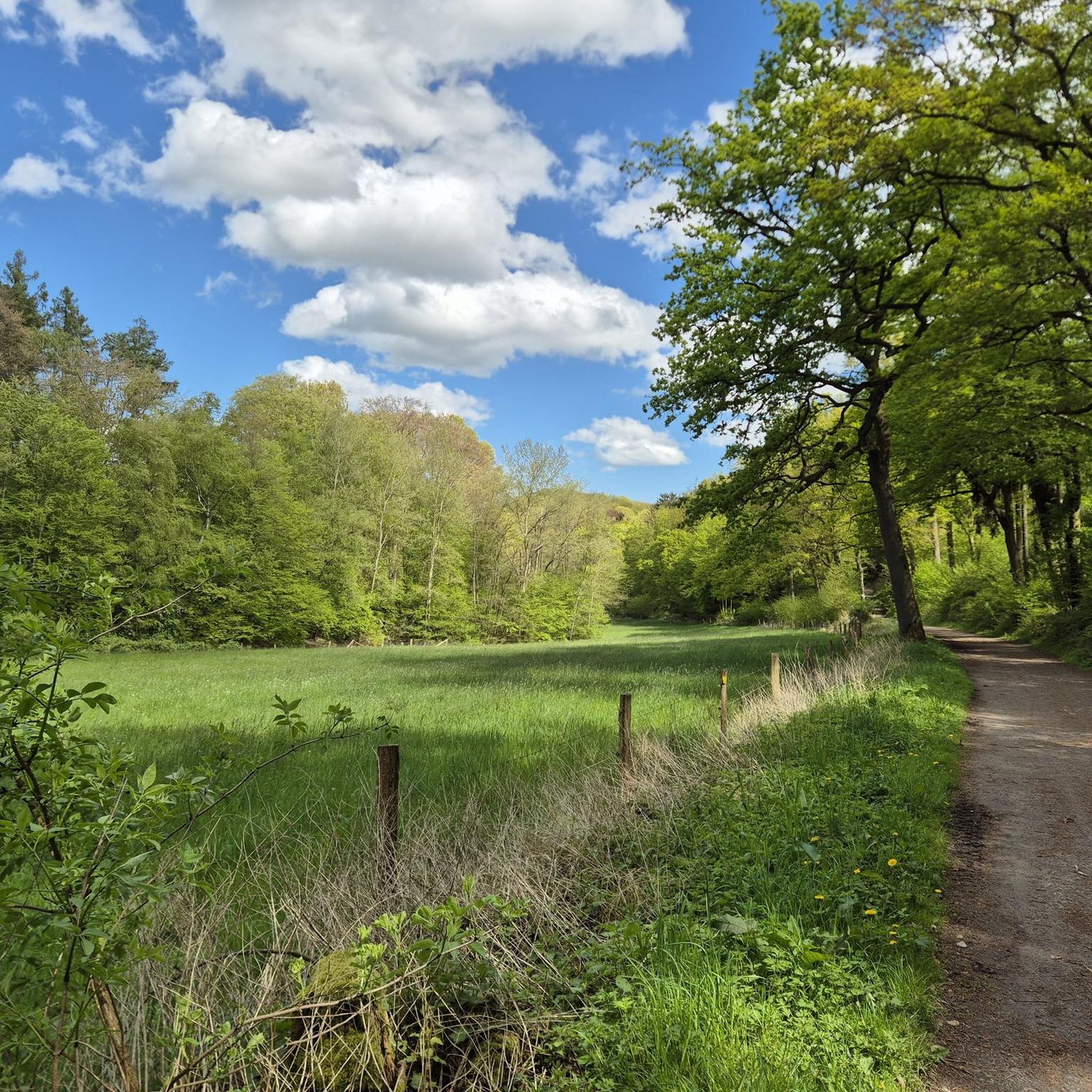
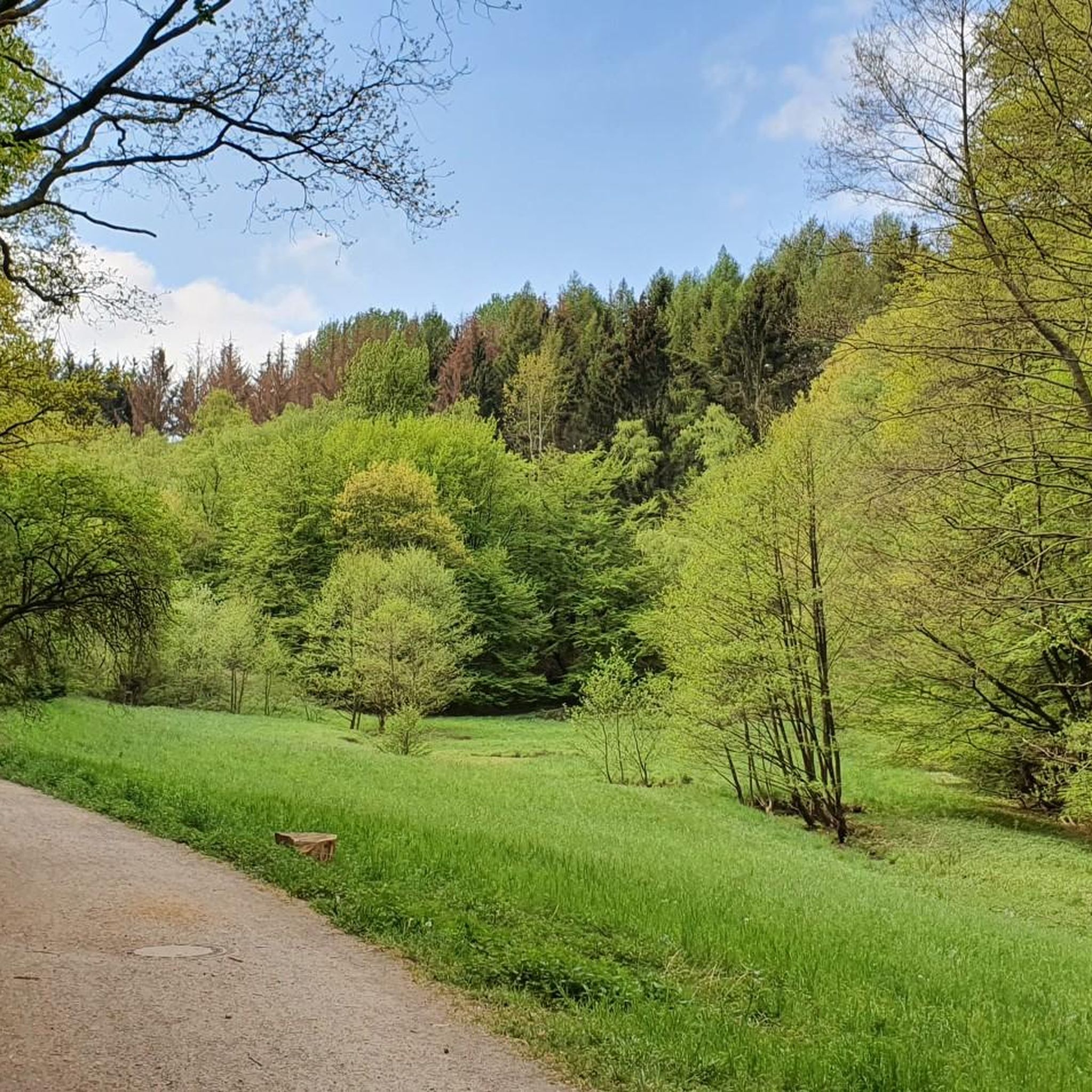
Jogging routes around StadtForest Muttental offer a diverse landscape characterized by dense forests, the scenic Muttental Valley, and the meandering Muttenbach Stream. The area features a well-maintained network of trails, blending natural beauty with historical mining sites. Runners can expect varied terrain, ranging from gentle paths suitable for all fitness levels to more challenging routes with moderate elevation changes.
Best jogging routes around StadtForest Muttental
- The most popular jogging route is Hardenstein Castle Ruins – Forest Path in the Ruhr…
Last updated: July 8, 2026
4.5
(2)
58
runners
4.42km
00:28
20m
20m
Easy run. Great for any fitness level. Mostly paved surfaces. Suitable for all skill levels.
5.0
(3)
41
runners
14.1km
01:36
220m
220m
Moderate run. Good fitness required. Mostly paved surfaces. Suitable for all skill levels.

Sign up for free
29
runners
Hard run. Very good fitness required. Mostly paved surfaces. Suitable for all skill levels.
4.5
(4)
31
runners
Moderate run. Good fitness required. Mostly paved surfaces. Suitable for all skill levels.
3.0
(1)
34
runners
4.12km
00:26
20m
20m
Easy run. Great for any fitness level. Mostly paved surfaces. Suitable for all skill levels.
Get access to more routes and recommendations from other explorers.
Sign up for free
Already have an account?
Our route recommendations are based on thousands of hikes, rides, and runs completed by other people on komoot.
Start today with a free account
Your next adventure awaits.
Login or Signup
Tips from the Community

The Hohenstein is a hill with a height of 165.7 m in Witten. The city forest and park are part of the green belt southeast of Witten's city center. On it is the Berger monument on a steep rock face over 100 m high facing the Ruhr.
0
0

Great old signal box
1
0
Beautiful section of the Ruhr Valley Cycle Route
1
0
We were able to drive this section unhindered
1
0
Here you drive under a viaduct
2
0

1
0

The Turteltaube mine was a tunnel mine in Bommern in the Muttental valley. The mine belonged to the Herbede district. The mine consisted of two wings, each with a separate tunnel, in the Nachtigallmulde valley and was in operation until the mid-19th century.
0
0

At the moment a part is closed
1
1
Frequently Asked Questions
How many running routes are available in StadtForest Muttental?
StadtForest Muttental offers a vast network of over 650 running routes. This extensive selection ensures there's a suitable path for every preference and fitness level, from gentle jogs to more challenging runs.
What kind of terrain can I expect when jogging in StadtForest Muttental?
You can expect a diverse landscape characterized by dense forests, the scenic Muttental Valley, and the meandering Muttenbach Stream. The trails feature varied terrain, ranging from gentle paths suitable for all fitness levels to moderate and difficult routes with significant elevation changes, often blending natural beauty with historical mining sites.
Are there running routes suitable for beginners or those looking for an easy jog?
Yes, StadtForest Muttental has plenty of options for an easy jog. There are 66 routes classified as 'easy', offering gentle paths through the forest and along the valley, perfect for beginners or those seeking a relaxed run.
What are some challenging running routes in StadtForest Muttental?
For those seeking a challenge, StadtForest Muttental offers 70 difficult routes. One notable option is the Forest Path in the Ruhr Region – Hardenstein Castle Ruins loop from Witten, a 10.4-mile (16.8 km) path featuring significant elevation gains and extensive forest scenery.
Are there any circular running routes in StadtForest Muttental?
Yes, many of the running routes in StadtForest Muttental are circular, allowing you to start and finish at the same point. For example, the Hardenstein Castle Ruins – Forest Path in the Ruhr Region loop from Witten is an 8.8-mile (14.2 km) moderate circular trail that combines forest paths with historical landmarks.
What historical landmarks or attractions can I see along the running routes?
The area is rich in history, especially related to mining. Along your run, you might encounter sites like the Muttentalbahn Mining Cart Memorial, the Margarethe Shaft, Muttental, or the Jupiter Mine Entrance (1783). The Hardenstein Castle Ruins – Winch system in the Muttental loop from Witten specifically leads through the historic Muttental, offering a blend of nature and industrial heritage.
Are the running trails in StadtForest Muttental dog-friendly?
Many trails in StadtForest Muttental are suitable for running with dogs, offering plenty of natural space for your canine companion. It's always recommended to keep dogs on a leash, especially in nature reserve areas or where wildlife might be present, and to check specific route details for any restrictions.
Are there family-friendly running routes in StadtForest Muttental?
Yes, the area offers several family-friendly running routes, particularly those classified as 'easy' or 'moderate' with less elevation. These paths are generally well-maintained and provide a pleasant environment for families to enjoy a jog together amidst nature.
What do other runners say about the routes in StadtForest Muttental?
The running routes in StadtForest Muttental are highly regarded by the komoot community, boasting an average rating of 4.4 stars from over 2200 reviews. More than 36,000 runners have explored the area, often praising the varied terrain, the blend of natural beauty with historical sites, and the extensive, well-maintained trail network.
Is there parking available near the running trails in StadtForest Muttental?
Yes, there are various parking options available around StadtForest Muttental, making it convenient to access the running trails. Specific parking areas can often be found near popular trailheads or historical sites within the valley.
Can I reach the running trails in StadtForest Muttental by public transport?
StadtForest Muttental is generally accessible by public transport, with bus stops and train stations in nearby Witten providing connections to the area. It's advisable to check local public transport schedules for the most convenient access points to the trails.
Are there any routes with viewpoints of the Ruhr Floodplains?
Yes, some routes offer scenic views of the Ruhr Floodplains. For instance, the View of the Ruhr Floodplains loop from Bommern is a moderate 6.7-mile (10.8 km) route that provides beautiful vistas of the river landscape.
What is the best time of year to go jogging in StadtForest Muttental?
StadtForest Muttental is enjoyable for jogging year-round. Spring brings lush greenery and blooming flora, while autumn offers stunning fall foliage. Summer provides shaded forest paths, and even in winter, the trails can be beautiful, though conditions may require more appropriate footwear.
Most popular routes around StadtForest Muttental
Most popular attractions around StadtForest Muttental

Get inspired with the komoot mobile app


Explore more
Browse the best Running Trails & Routes in other regions.
