The best road cycling routes around Bergholz
4.5
(86)
1,445
riders
60
rides
Road cycling routes around Bergholz are characterized by the region's hilly and wooded terrain, indicative of its location within the Appalachian foothills. The landscape features rolling hills and forested areas, providing varied gradients for road cyclists. While the village itself is small, it provides access to the Conotton Creek Valley, which offers a paved rail-trail experience. This area is defined by its natural beauty, including wetlands, farms, and rock formations.
Best road cycling routes around Bergholz
- The most popular road…
Last updated: June 29, 2026
13
riders
46.1km
01:51
150m
150m
Moderate road ride. Great for any fitness level. Some segments of this route may be unpaved and difficult to ride.
11
riders
30.9km
01:22
190m
190m
Moderate road ride. Great for any fitness level. Some segments of this route may be unpaved and difficult to ride.

Sign up for free
4
riders
Moderate road ride. Great for any fitness level. Some segments of this route may be unpaved and difficult to ride.
8
riders
39.3km
01:37
110m
110m
Moderate road ride. Great for any fitness level. Some segments of this route may be unpaved and difficult to ride.
6
riders
46.6km
01:54
120m
120m
Easy road ride. Great for any fitness level. Mostly well-paved surfaces and easy to ride.
Get access to more routes and recommendations from other explorers.
Sign up for free
Already have an account?
Our route recommendations are based on thousands of hikes, rides, and runs completed by other people on komoot.
Start today with a free account
Your next adventure awaits.
Login or Signup
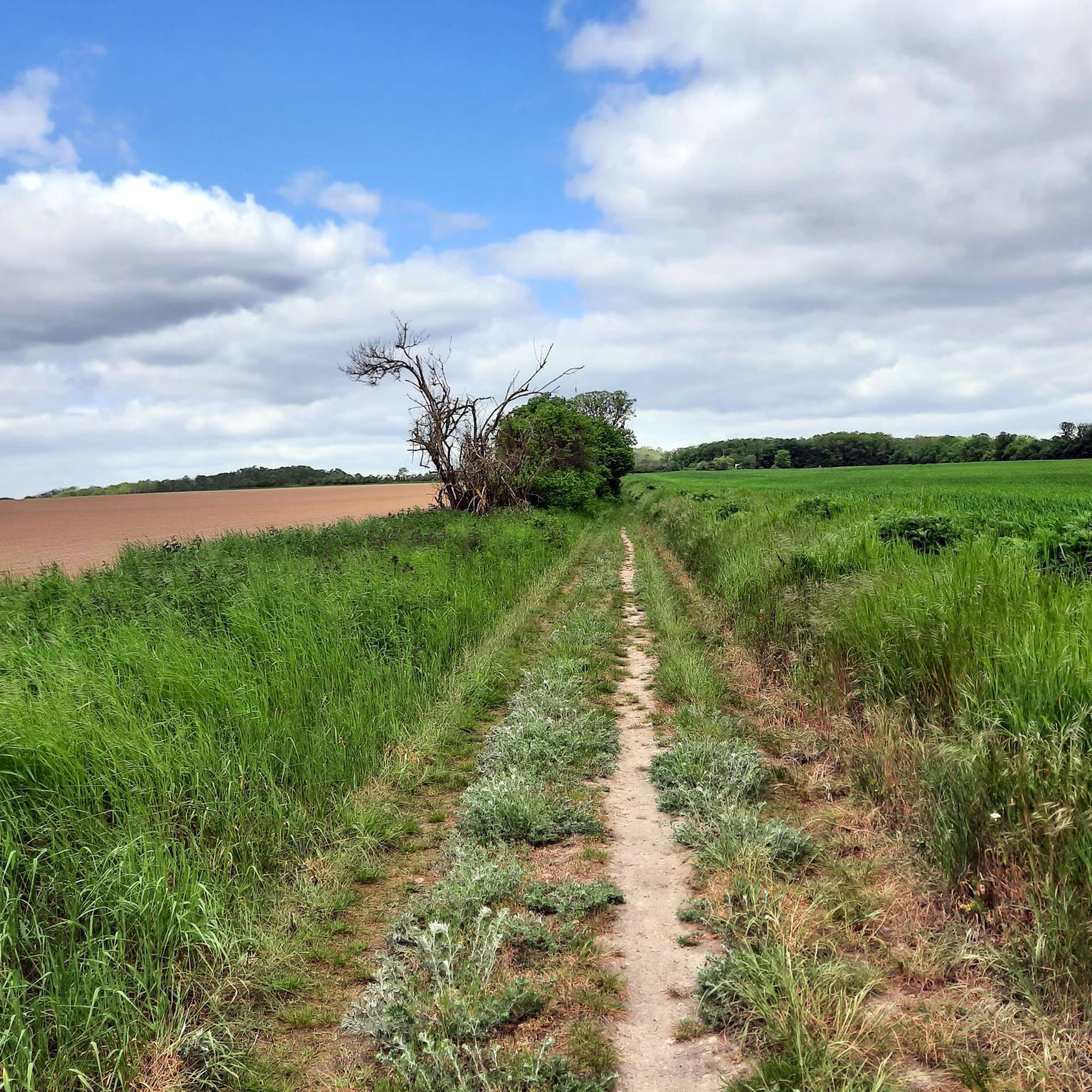
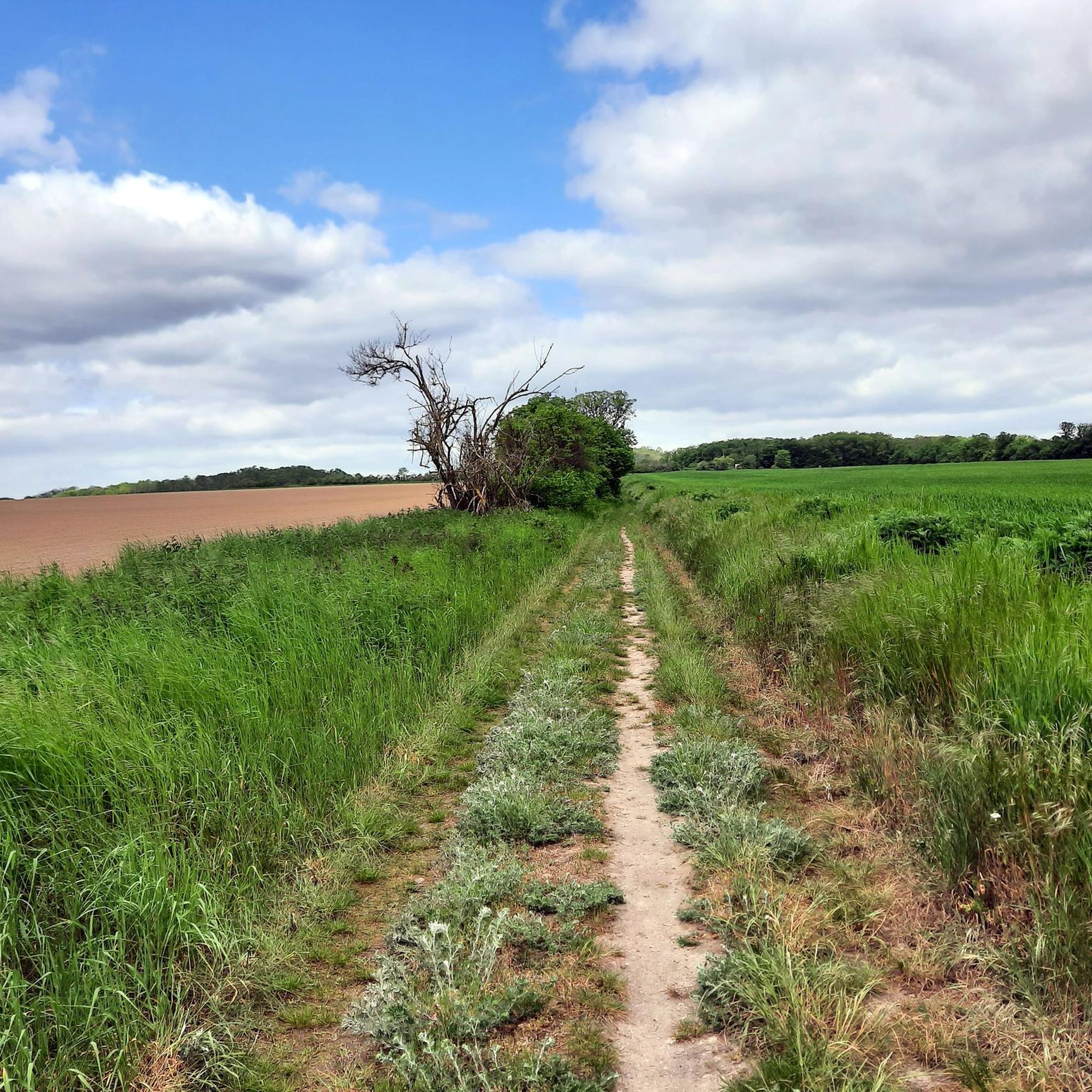
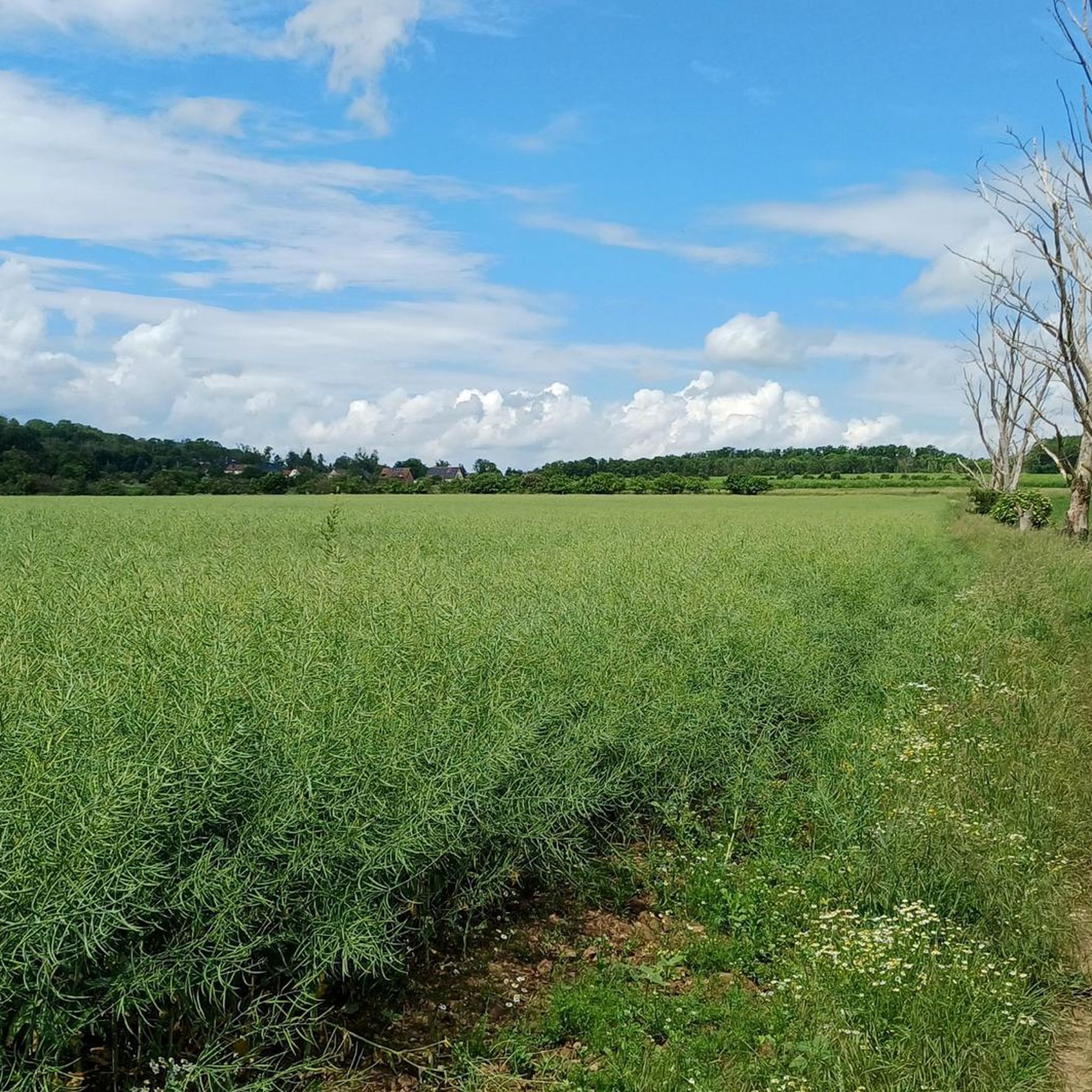
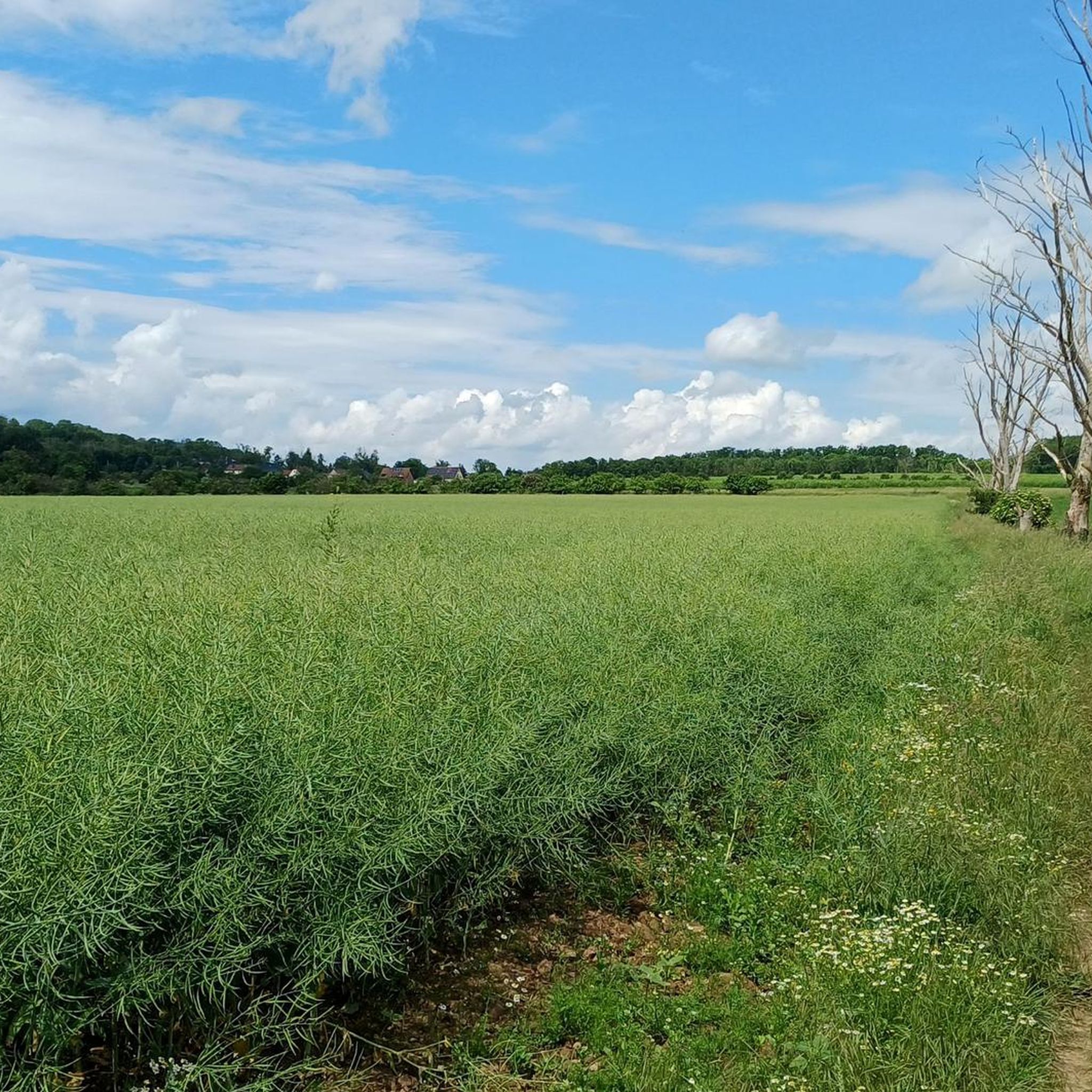

Tips from the Community


In 1958, after more than 100 years, open-cast mining operations at the site were discontinued because the deposits were exhausted. The remaining pit was gradually filled with water.[2] By 1967, the Edderitzer Lake, over 40 hectares in size and up to 41 meters deep, had formed from inflowing groundwater. It initially served primarily as a water reservoir for agriculture, but has also developed into a popular bathing lake.[4] It differs from traditional quarry lakes in its rather unplanned formation. After wild bathing areas had developed along various shores, problems with the embankment became apparent after 1989, presumably caused by the rising water level following the declining water extraction between 1990 and 1992, so large sections of the shore were closed off. From 1998 to 2003, the slopes were secured and a beach restaurant was created in the western area, while the former beaches on the eastern side remained closed.[4] For the reopening on May 15, a "House and Bathing Regulations of the Edderitz Seaside Resort" was published in the official gazette.[5] The lake has good water quality.[6] On the west side of the lake, there is a lido with a 400-meter-long sandy beach, volleyball courts, and a campsite. The lake is used for various water sports such as fishing and diving. A paved circular path surrounds the lake, which is used for hiking, cycling, skating, and summer and winter biathlon. There is also a geological educational garden with over 120 rocks on display and remnants of the open-cast mining history (lorry, water wheel).[7] In 2005, a life-sized "art cow" painted with fins and scales was sunk by the local diving club in Lake Edderitz and anchored at a depth of 25 meters.[8] Source: https://de.wikipedia.org/wiki/Edderitzer_See
4
0
The village of Edderitz is said to have received its name from the Slavic word jezerisco, as it was first mentioned as Ezeri in 973. There are and have been several ponds in the village, and several pit ponds near the village, but Lake Edderitz is by far the largest body of still water in the former municipality.[1] In the 19th century, the importance of coal mining increased significantly, and the Leopold mine was established in 1853. In 1935, it was decided to relocate a large part of the village to the north so that coal could be mined there as well. The new village was gradually built north of the Pfaffendorf-Edderitz road starting in 1938. A total of around 1,200 residents were resettled by 1952. In 1953, the sugar factory, which was located in the northwest of the old village, was demolished so that coal could be mined there as well. All that remained of the old village was the cemetery; the rest was dredged over. [Source: https://de.wikipedia.org/wiki/Edderitzer_See
4
0
Lake Edderitz is located in the Anhalt-Bitterfeld district, south of Köthen in the town of Southern Anhalt. It originated from the former Edderitz open-cast mine and is therefore also known as the "open-cast mine pit near Edderitz." Source: https://de.wikipedia.org/wiki/Edderitzer_See
5
0
Frequently Asked Questions
What kind of terrain can I expect when road cycling around Bergholz?
The Bergholz area, situated in the Appalachian foothills, features a naturally hilly and wooded terrain. Cyclists can anticipate rolling hills and lush, forested landscapes, providing a mix of challenging ascents and rewarding descents. The region's name, 'mountain timber,' accurately reflects its characteristic natural beauty.
Are there any easy road cycling routes suitable for beginners or families?
Yes, the primary attraction for road cyclists in the vicinity is the Conotton Creek Trail. This 11.2-mile (22.4 miles round trip) rail-trail is fully paved and features largely level grades, typically 5% or less. Its gentle incline makes it accessible and enjoyable for cyclists of varying fitness levels, including beginners and families.
What are the distances of road cycling routes in Bergholz?
While local roads offer varied distances, the most prominent dedicated road cycling path, the Conotton Creek Trail, is 11.2 miles one way, making it 22.4 miles for a round trip. This paved trail provides a consistent and scenic ride.
What natural features or landmarks can I see along the road cycling routes?
The Conotton Creek Trail offers immersion in a bucolic setting, showcasing wetlands, farms, forests, and interesting rock formations. A unique highlight of this trail is its five covered bridges, built on original railroad platforms, which cross Conotton Creek. You can also observe various bird species and other wildlife along the route.
Is the Conotton Creek Trail suitable for road bikes?
Absolutely. The Conotton Creek Trail is a paved, multi-use rail-trail with a coarse asphalt surface. It was repaved in 2021, ensuring a smoother ride ideal for road bikes. Its gentle grades also make it very suitable for this type of cycling.
Are there any loop road cycling routes available?
The Conotton Creek Trail is primarily an out-and-back route, covering 11.2 miles one way. However, for those seeking a loop experience, local roads around Bergholz can be combined with sections of the trail to create custom loops, offering more challenging terrain with elevation changes.
What is the best time of year to go road cycling in Bergholz?
The spring and fall seasons generally offer the most pleasant conditions for road cycling in Bergholz, with milder temperatures and beautiful foliage. Summer can also be enjoyable, though it's advisable to ride earlier in the morning or later in the afternoon to avoid the peak heat. Winter cycling is possible but may be impacted by snow and ice, especially on less-maintained local roads.
What do other road cyclists enjoy most about road cycling in Bergholz?
The komoot community rates the road cycling experience around Bergholz highly, with an average score of 4.4 stars from over 80 reviews. Cyclists often praise the scenic beauty of the Conotton Creek Valley, the well-maintained paved surface of the Conotton Creek Trail, and the peaceful, bucolic setting that allows for an immersive ride through nature.
Are there options for more advanced or challenging road cycling routes?
While the Conotton Creek Trail offers gentle grades, the broader region around Bergholz is characterized by the Appalachian foothills. This means that local roads, beyond the rail-trails, can provide more challenging road cycling experiences with significant elevation changes for those seeking a more strenuous workout.
How many road cycling routes are available around Bergholz?
Komoot features over 60 road cycling routes around Bergholz, catering to various skill levels. This includes 16 easy routes, 50 moderate routes, and 1 difficult route, ensuring options for every type of road cyclist.
Can I find cafes or places to stop for refreshments along the routes?
The Conotton Creek Trail passes through small towns like Bowerston and Jewett, where you may find local establishments to stop for refreshments or a meal. It's always a good idea to check opening hours in advance, especially in smaller communities.
Most popular routes around Bergholz
Most popular attractions around Bergholz

Get inspired with the komoot mobile app


Explore more
Browse the best Road cycling routes in other regions.
