The best walks and hikes around Kollund Skov
4.6
(5142)
26,599
hikers
958
hikes
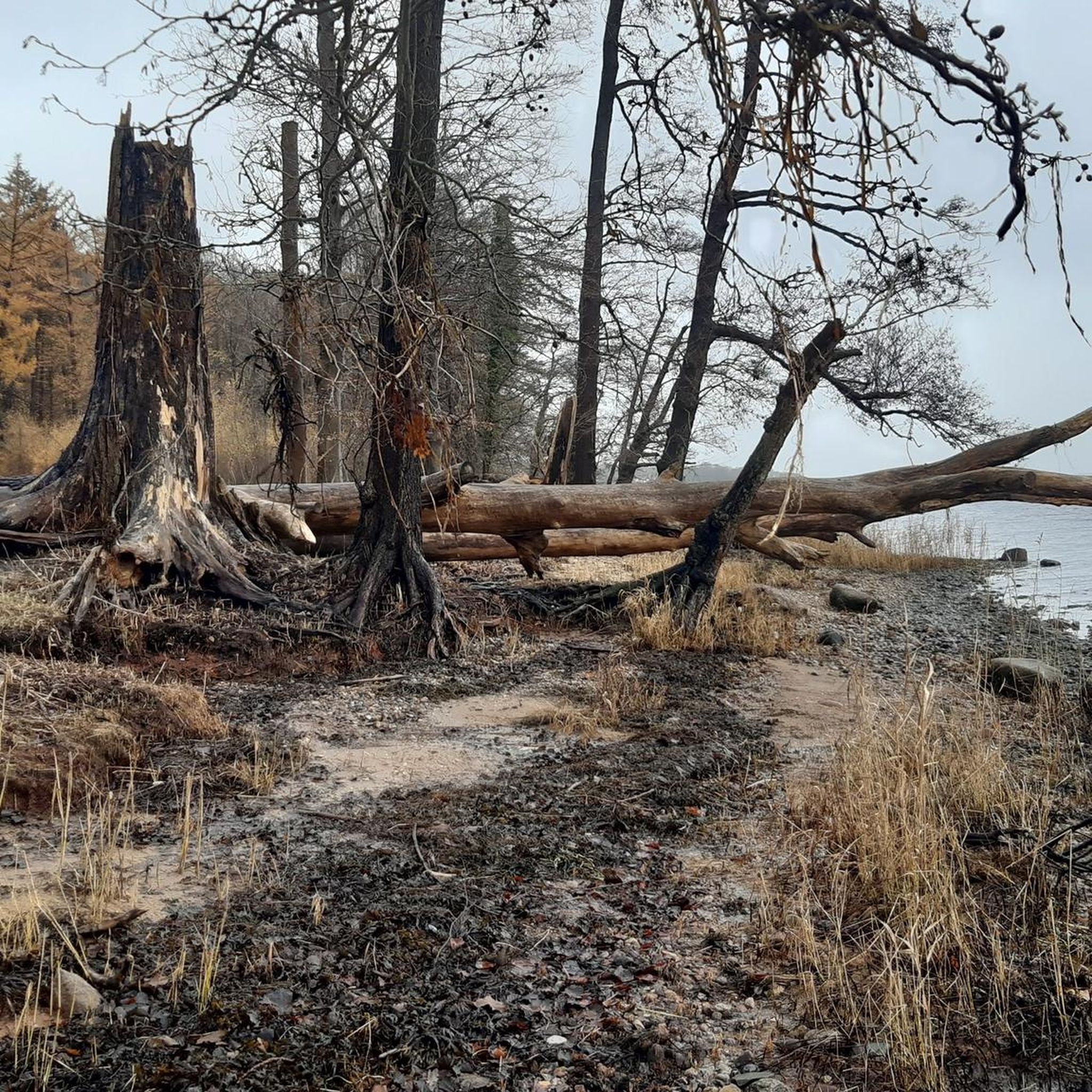
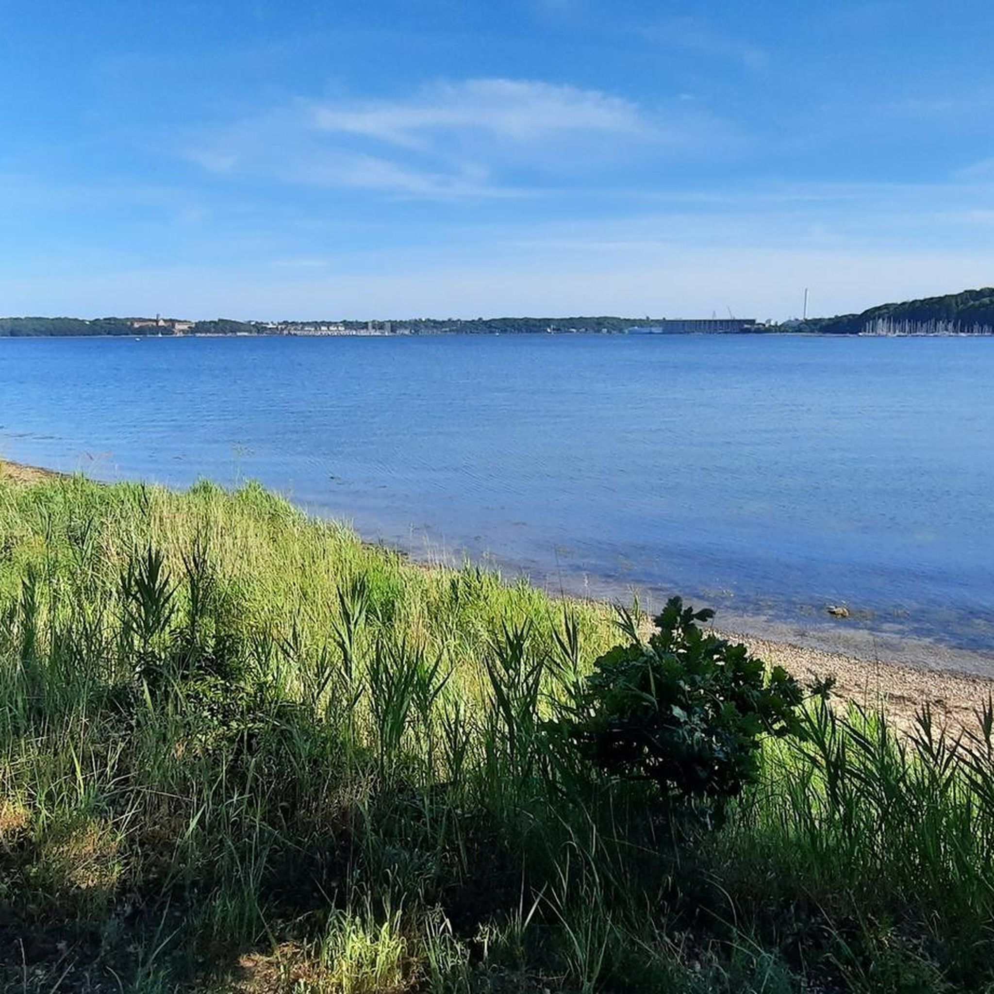
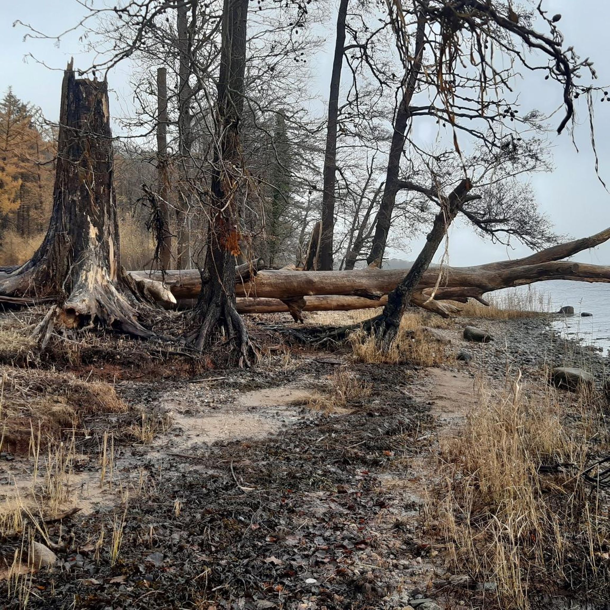
Hiking around Kollund Skov offers diverse landscapes shaped by the last Ice Age, featuring hilly moraine terrain, tunnel valleys, and deep ravines. The area provides views of the Flensburg Fjord and includes a blend of deciduous and coniferous forests. Efforts to regenerate forest bogs contribute to the natural ecosystem.
Best hiking trails around Kollund Skov
- The most popular hiking route is View of Flensburg Fjord – Schusterkate Border Crossing (Germany–Denmark) loop from Kruså, a 4.0 miles (6.5 km) trail…
Last updated: August 18, 2026
4.8
(124)
458
hikers
Easy hike. Great for any fitness level. Easily-accessible paths. Suitable for all skill levels.
4.5
(33)
256
hikers
Easy hike. Great for any fitness level. Easily-accessible paths. Suitable for all skill levels.

Sign up for free
4.6
(35)
129
hikers
Easy hike. Great for any fitness level. Easily-accessible paths. Suitable for all skill levels.
4.7
(9)
37
hikers
Moderate hike. Good fitness required. Easily-accessible paths. Suitable for all skill levels.
5
hikers
3.76km
01:00
40m
40m
Easy hike. Great for any fitness level. Easily-accessible paths. Suitable for all skill levels.
Get access to more routes and recommendations from other explorers.
Sign up for free
Already have an account?
Our route recommendations are based on thousands of hikes, rides, and runs completed by other people on komoot.
Start today with a free account
Your next adventure awaits.
Login or Signup
Tips from the Community

I think it's great that a monument is being erected here to someone to whom we owe the preservation of this piece of nature. It's not about war and death, but about taking responsibility for future planning.
0
0
Bridges and stairs offer a change during hiking, not just for the muscles.
0
0
It's nice that the border crossing feels so friendly and inviting here and that people can enjoy freedom while hiking.
0
0
A nice change of pace on the mountain stage of the Gendarmensteig.
0
0
Gendarmsti - here mountain stage - is a worthwhile hiking trail, without big sensations, but cozy and water-connected.
0
0

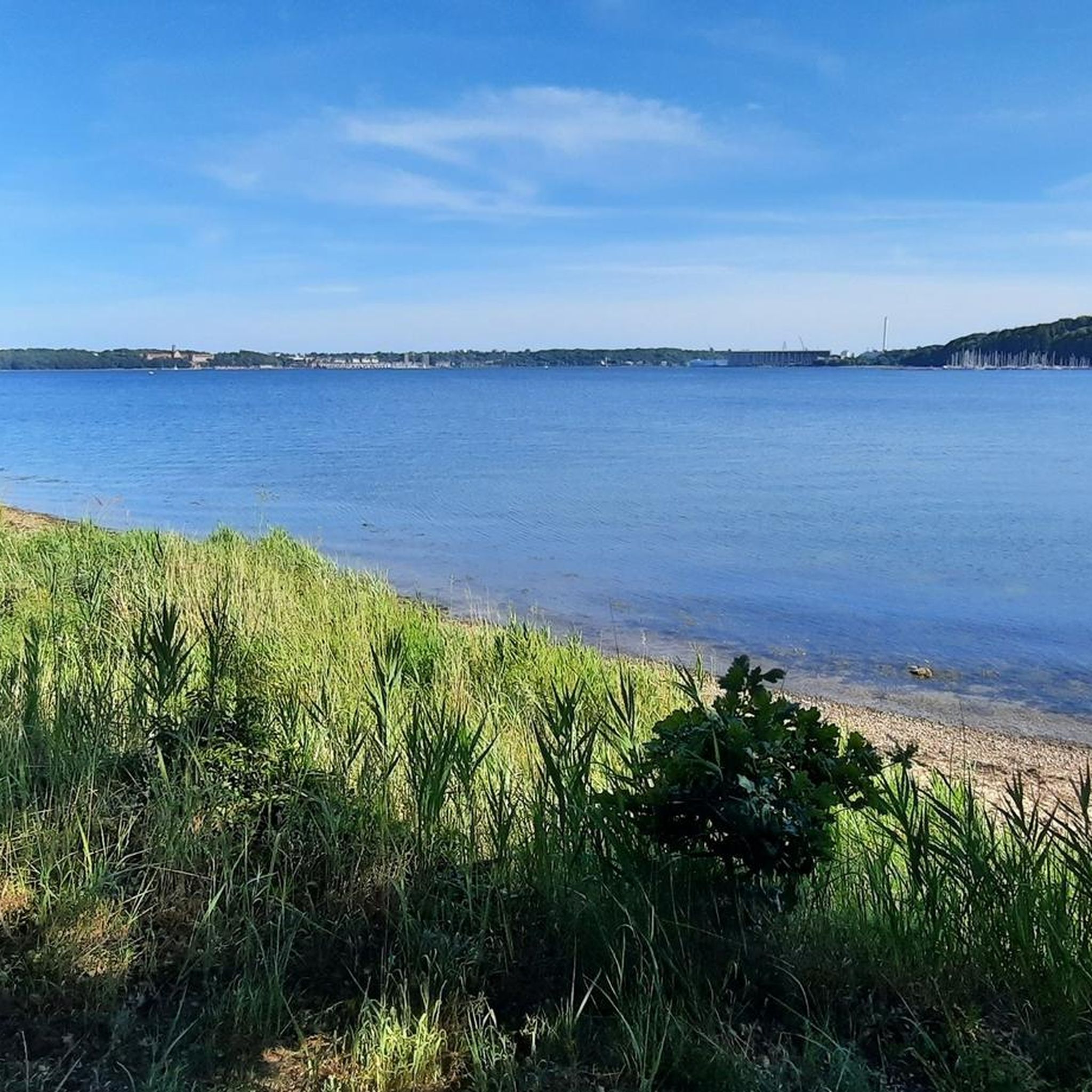
View of the shipyard and parts of the city.
1
0

You can get over here quite well with a gravel bike. Just ride over the cattle grid and arrive in Denmark or Germany.
1
0

Abrahams Kilde (Abraham's Spring) is a spring near Kupfermühle, often mentioned in connection with hikes such as the Gendarmenstieg trail. Here is the most important information: Location: It is located near Kupfermühle, on the German-Danish border, and lies along hiking trails. Historical background of the name: The name has no direct biblical origin. It was given to a courtier of the Danish King Christian IV, who graciously provided the king with water during a rest stop there. Special feature: It is a fast-flowing spring with clear water, sometimes also referred to as the iron-rich "Abraham Spring." Hiking destination: There is a bench at the spring, inviting hikers to linger and listen. The region is known for its glacial landscape features, such as the Tunnel Valley.
1
0
Frequently Asked Questions
How many hiking trails are available in Kollund Skov?
Kollund Skov offers a wide variety of hiking opportunities with nearly 1000 routes recorded on komoot. These trails cater to different fitness levels, with over 700 easy routes, more than 200 moderate options, and around 30 more challenging paths.
What kind of landscape can I expect when hiking in Kollund Skov?
The landscape in Kollund Skov is diverse and shaped by the last Ice Age, featuring hilly moraine terrain, distinctive tunnel valleys, and deep ravines. You'll find a mix of deciduous trees like beech and hazel, alongside coniferous species. Many trails offer scenic views of the Flensburg Fjord, and there are regenerated forest bogs contributing to the natural ecosystem.
Are there any family-friendly hiking options in Kollund Skov?
Yes, Kollund Skov is well-suited for families. Many of the trails are classified as easy, providing accessible options for all ages. For example, the View of Flensburg Fjord – Schusterkate Border Crossing loop is an easy 4-mile route that offers engaging views and a unique border crossing experience.
Can I bring my dog on the hiking trails in Kollund Skov?
Yes, Kollund Skov is generally dog-friendly. Many trails are suitable for walks with your canine companion. However, always ensure your dog is kept on a leash, especially in areas with wildlife or near other hikers, and remember to clean up after them.
Are there any circular walks in Kollund Skov?
Yes, Kollund Skov features several excellent circular walks. A popular choice is the Gendarmstien – View of Flensburg Fjord loop from Kollund, a moderate 5.3-mile path that follows a section of the historic Gendarmstien and provides stunning fjord vistas.
What interesting landmarks or attractions can I see along the trails?
Hikers can discover several points of interest. The area is part of the historic Gendarmstien, and you can experience the unique Schusterkate Border Crossing between Germany and Denmark. You might also encounter shelters like Korsholm Shelter and enjoy views of the Flensburg Fjord from spots like the Kollund waterfront.
Are there places to stay overnight or rest during a longer hike?
Yes, Kollund Skov offers practical amenities for hikers. There are campsites with shelters, open fireplaces, and mould-toilets. You can find options like Kollund Skov Shelters and a shelter site with drinking water and toilet, providing convenient rest stops. For more information on shelter sites, you can visit visitdenmark.nl.
What do other hikers enjoy most about Kollund Skov?
The area is highly rated by the komoot community, with an average score of 4.6 stars from over 4000 reviews. Hikers frequently praise the diverse landscapes, the beautiful views of the Flensburg Fjord, and the well-maintained network of trails that cater to various skill levels.
Is public transport available to reach Kollund Skov?
While specific public transport routes directly into the heart of Kollund Skov might be limited, you can often reach nearby towns or villages by bus, and then walk or cycle to the forest. It's advisable to check local bus schedules for connections to areas surrounding Kollund.
Where can I park my car when visiting Kollund Skov for a hike?
There are typically designated parking areas at various entry points to Kollund Skov. These are usually well-marked and provide convenient access to the trailheads. Specific parking information can often be found on local signage or detailed route descriptions.
What is the best season to hike in Kollund Skov?
Kollund Skov offers enjoyable hiking experiences year-round. Spring brings blooming flora, summer provides lush greenery and longer daylight hours, while autumn showcases vibrant fall colors. Even in winter, the forest can be beautiful, though some paths might be muddy or icy, so appropriate footwear is recommended.
Are there any cafes or restaurants near the hiking trails?
The village of Kollund, adjacent to the forest, offers a few options for refreshments and meals. You can find local cafes or restaurants to enjoy a break before or after your hike, providing a chance to experience local cuisine.
Most popular routes around Kollund Skov
Most popular attractions around Kollund Skov

Get inspired with the komoot mobile app


Explore more
Browse the best Hikes in other regions.
